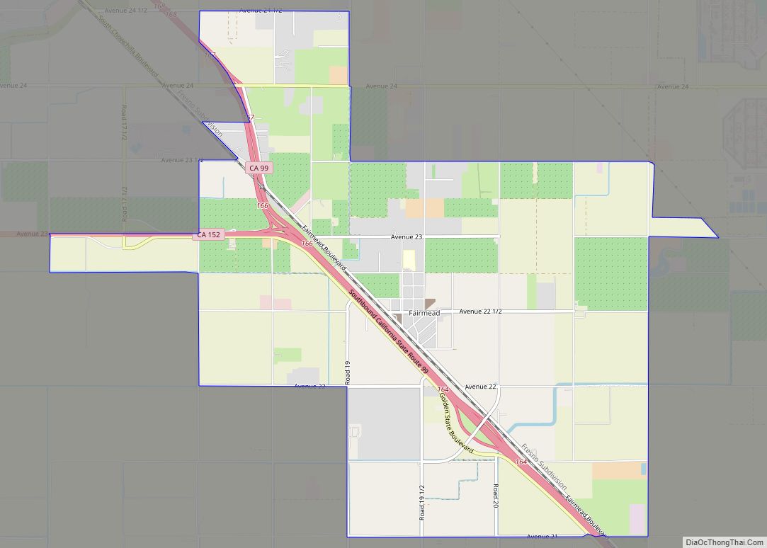
Map of Farmington CDP, California

Map of Farmington CDP, California

Farmington is a census-designated place (CDP) in San Joaquin County, California. The population was 172 at the 2020 census, down from 207 at the 2010 census. Farmington CDP overview: Name: Farmington CDP LSAD Code: 57 LSAD Description: CDP (suffix) State: California County: San Joaquin County Elevation: 112 ft (34 m) Total Area: 2.542 sq mi (6.584 km²) Land Area: 2.542 sq mi … Read more

Map of Farmersville city

Map of Farmersville city, California

Farmersville is a city in the San Joaquin Valley in Tulare County, California, United States, just to the east of Visalia, California. The population was 10,397 at the 2020 census, down from 10,588 at the 2010 census. The city helps sponsor many events throughout the year, including a Memorial Day Parade in May, which is … Read more

Map of Fallbrook CDP

Map of Fallbrook CDP

Fallbrook is a CDP in northern San Diego County, California. Fallbrook had a population of 30,534 at the 2010 census, up from 29,100 at the 2000 census. Fallbrook’s downtown is not on a major highway route. It is 5.5 miles (8.9 km) west of Interstate 15 or 6 miles (9.7 km) north of State Route 76. However, … Read more

Map of Felton CDP

Map of Felton CDP, California

Felton is a census-designated place (CDP) in Santa Cruz County, California, United States. The population was 4,489 as of 2020 census and according to the United States Census Bureau, the CDP has a total area of 4.6 square miles (12 km), all of it land. Felton CDP overview: Name: Felton CDP LSAD Code: 57 LSAD Description: … Read more

Map of Fellows CDP

Map of Fellows CDP

Fellows is a census-designated place (CDP) in Kern County, California, United States. Fellows is located 5 miles (8 km) west-northwest of Taft, at an elevation of 1,316 feet (401 m). The population was 106 at the 2010 census, down from 153 at the 2000 census. Fellows is surrounded on all sides by the enormous Midway-Sunset Oil Field, … Read more

Map of Ferndale city

Map of Ferndale city, California

Ferndale is a city in Humboldt County, California, United States. Its population was 1,371 at the 2010 census, down from 1,382 at the 2000 census. The city contains dozens of well-preserved Victorian storefronts and homes. Ferndale is the northern gateway to California’s Lost Coast and the city, which is sited on the edge of a … Read more

Map of Fieldbrook CDP

Map of Fieldbrook CDP

Fieldbrook (formerly Bokman’s Prairie and Buckman’s Prairie) is a census-designated place in Humboldt County, California. It is located 7 miles (11 km) north-northeast of Arcata, at an elevation of 203 feet (62 m). The population was 860 following the 2010 census. Fieldbrook CDP overview: Name: Fieldbrook CDP LSAD Code: 57 LSAD Description: CDP (suffix) State: California County: … Read more

Map of Fiddletown CDP

Map of Fiddletown CDP

Fiddletown (from 1878 to 1932, Oleta) is a census-designated place in Amador County, California. It lies at an elevation of 1683 feet (513 m). It is located at 38°30′14″N 120°45′20″W / 38.50389°N 120.75556°W / 38.50389; -120.75556. The town is registered as a California Historical Landmark and is listed in the National Register of Historic Places … Read more

Map of Fetters Hot Springs-Agua Caliente CDP

Map of Fetters Hot Springs-Agua Caliente CDP

Fetters Hot Springs-Agua Caliente is a census-designated place (CDP) in Sonoma Valley, Sonoma County, California, in the United States. As of the 2010 census, the CDP population was 4,144. The name Agua Caliente translates into English, from Spanish, as hot water, referring to the hot springs historically found in the area. Fetters Hot Springs-Agua Caliente … Read more

Map of Firebaugh city

Map of Firebaugh city

Firebaugh is a city in Fresno County, California, United States, on the west side of the San Joaquin River 38 miles (61 km) west of Fresno. State Route 33 (SR 33) and the San Joaquin Valley Railroad, West Side Subdivision, pass through downtown. A small commercial district features the ubiquitous California Central Valley water tank painted … Read more

Map of Fillmore city

Map of Fillmore city, California

Fillmore is a small city in Ventura County, California, United States, in the Santa Clara River Valley. In an agricultural area with rich, fertile soil, Fillmore has a historic downtown that was established when the Southern Pacific built the railroad through the valley in 1887. The rail line also provided a name for the town: … Read more

Map of Fields Landing CDP

Map of Fields Landing CDP

Fields Landing (formerly, South Bay, South Bay Station, and Adele) is a census-designated place in Humboldt County, California. It is located on Humboldt Bay 6 miles (9.7 km) south-southwest of downtown Eureka, at an elevation of 13 feet (4 m). The ZIP Code is 95537. The population was 276 at the 2010 census. Fields Landing CDP … Read more