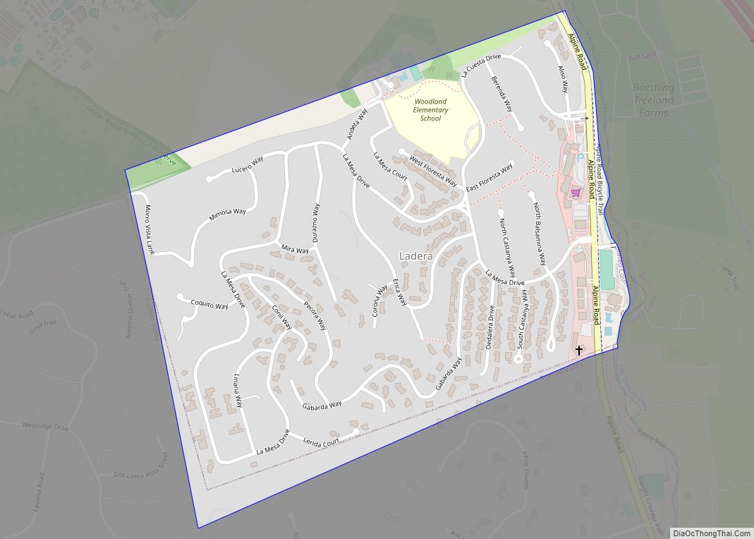
Ladera is a census-designated place (CDP) in southern San Mateo County, California, adjacent to Portola Valley. Primarily a residential community, it comprises approximately 520 homes, governed by the Ladera Community Association. The ZIP Code is 94028 and the community is inside area code 650. The population was 1,557 at the 2020 census. Ladera CDP overview: ... Read more
California Cities and Places
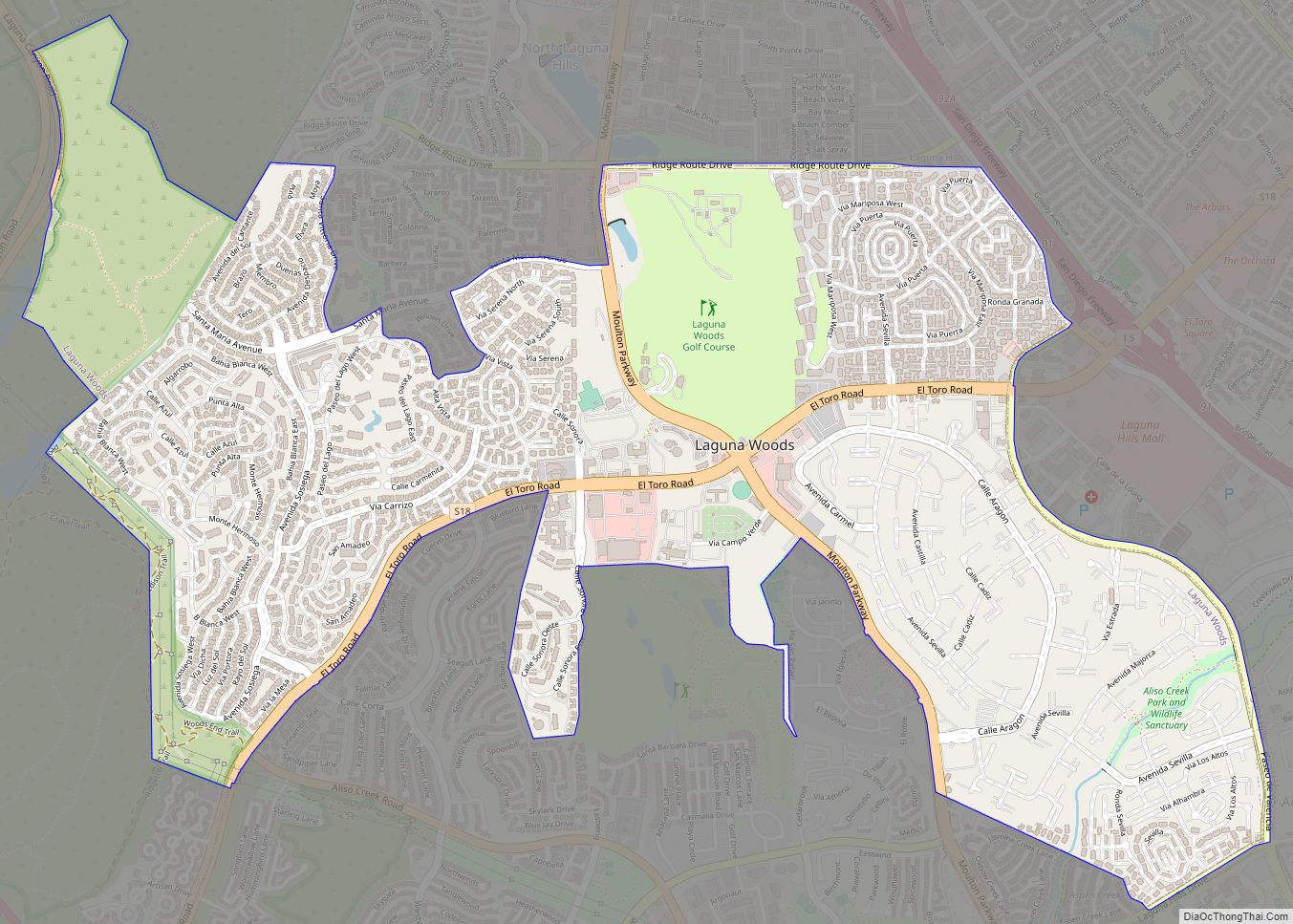
Laguna Woods (Laguna, Spanish for “Lagoon”) is a city in Orange County, California, United States. The population was 16,192 at the 2010 census, down from 16,507 at the 2000 census, with a median age of 78. Laguna Woods became Orange County’s 32nd city on March 24, 1999, after local residents voted to separate from Laguna ... Read more
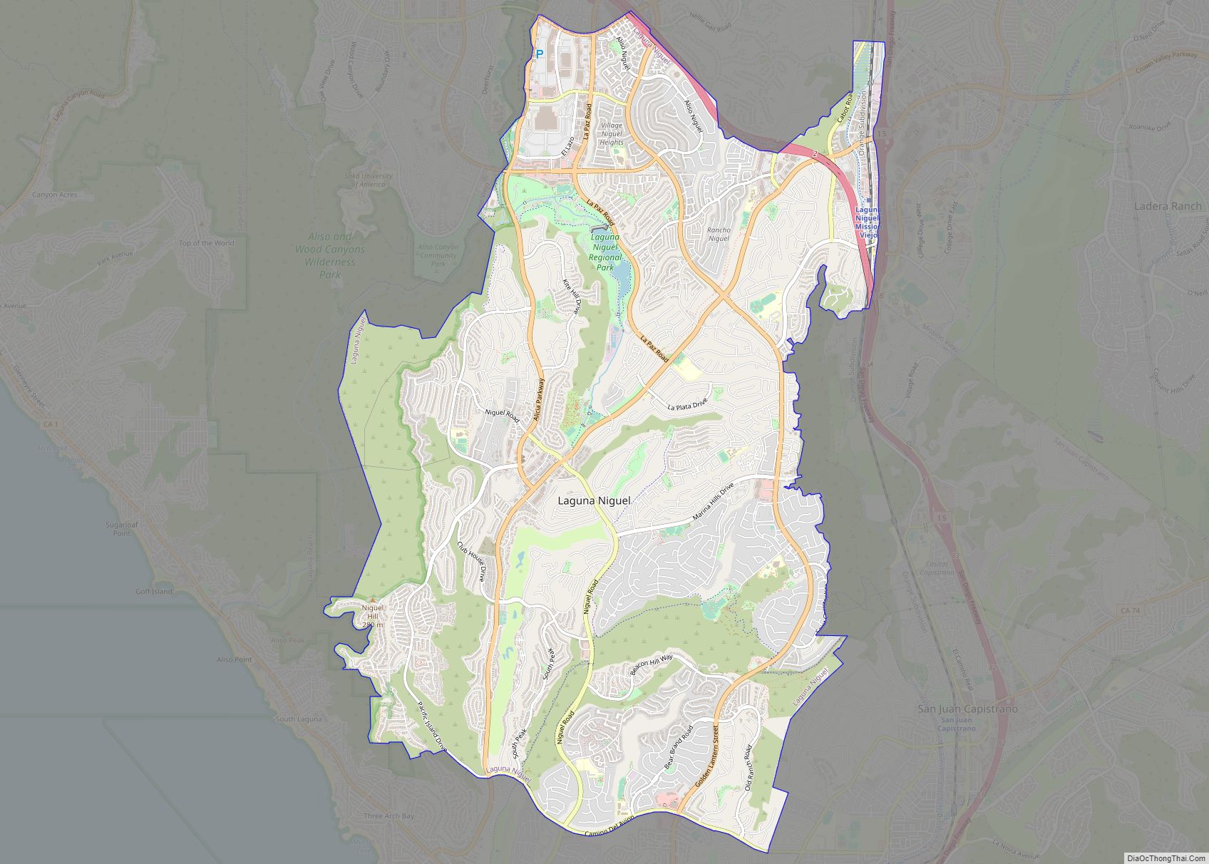
Laguna Niguel (/ləˈɡuːnə nɪˈɡɛl/) is a city in Orange County, California, United States. The name Laguna Niguel is derived from the words “Laguna” (Spanish for “lagoon”) and “Niguili” (the name of a Native American village once located near Aliso Creek). As of the 2020 census, the population was 64,355. Laguna Niguel is located in the ... Read more
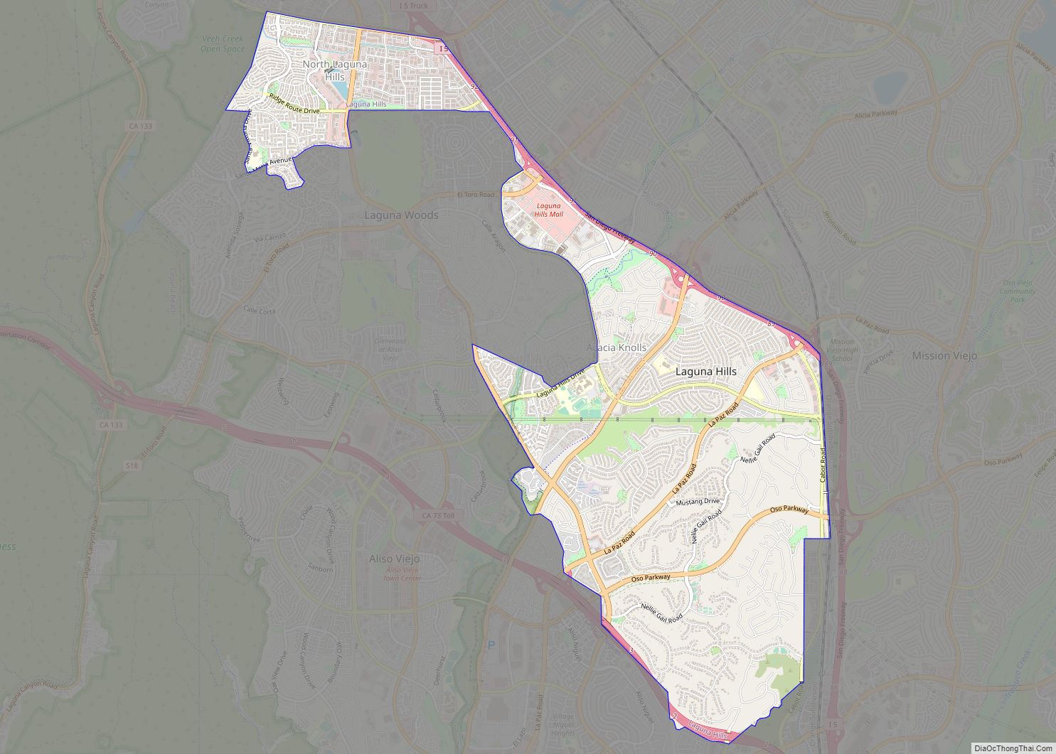
Laguna Hills (/ləˈɡuːnə/; Laguna, Spanish for “Lagoon”) is a city in southern Orange County, California, United States. Its name refers to its proximity to Laguna Canyon and the much older Laguna Beach. Other newer cities nearby—Laguna Niguel and Laguna Woods—are similarly named. Laguna Hills city overview: Name: Laguna Hills city LSAD Code: 25 LSAD Description: ... Read more
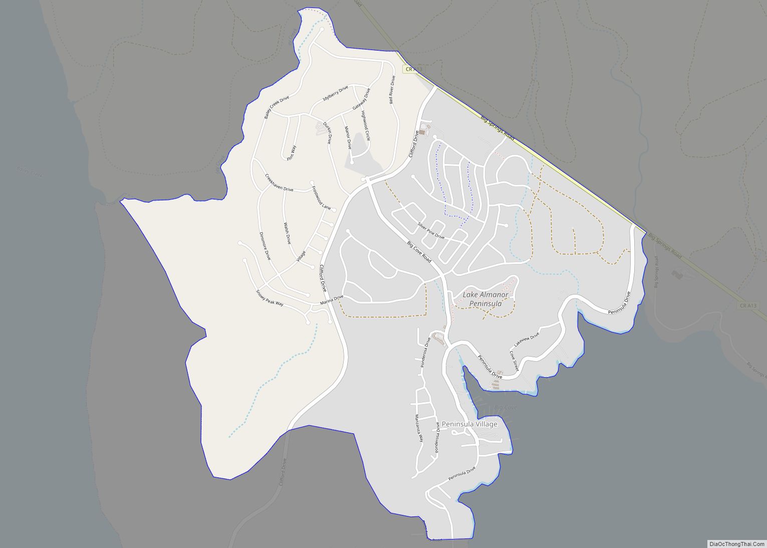
Lake Almanor Peninsula is a census-designated place (CDP) in Plumas County, California, United States. The population was 356 at the 2010 census, up from 336 at the 2000 census. Lake Almanor Peninsula CDP overview: Name: Lake Almanor Peninsula CDP LSAD Code: 57 LSAD Description: CDP (suffix) State: California County: Plumas County Total Area: 3.036 sq mi (7.863 km²) ... Read more
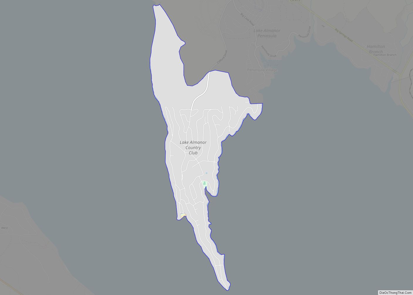
Lake Almanor Country Club is a census-designated place (CDP) in Plumas County, California, United States. The population was 419 at the 2010 census, down from 847 at the 2000 census. The ZIP code for the CDP is 96137. Lake Almanor Country Club CDP overview: Name: Lake Almanor Country Club CDP LSAD Code: 57 LSAD Description: ... Read more
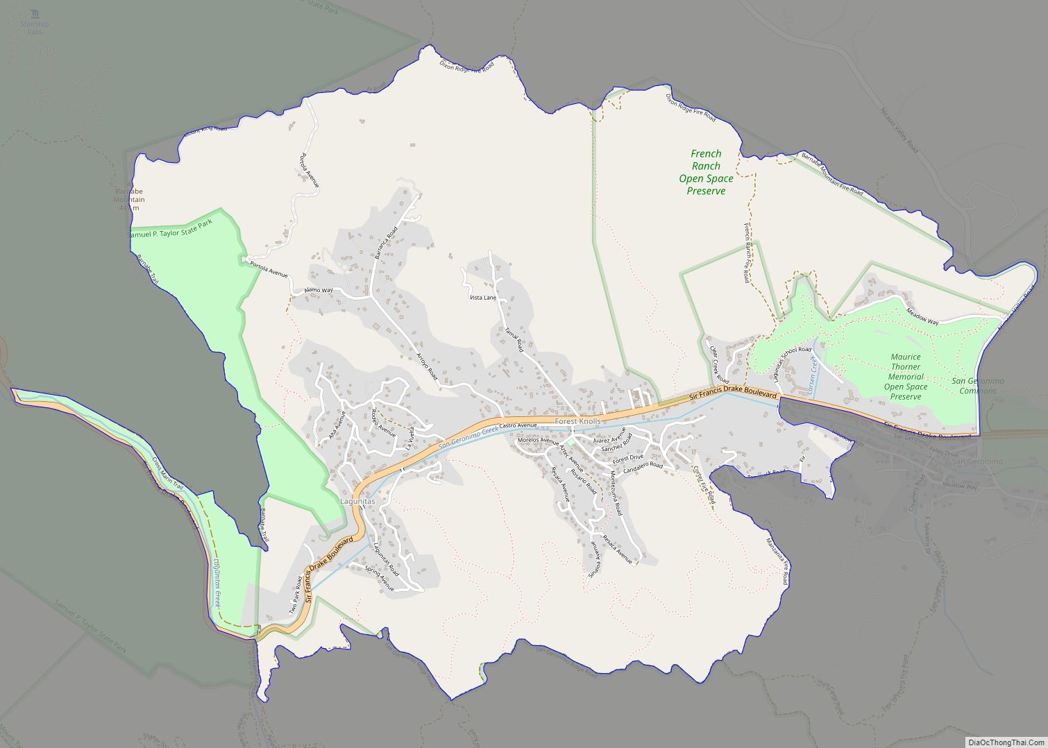
Lagunitas-Forest Knolls is a census-designated place, composed of two unincorporated areas in the western half of the San Geronimo Valley in Marin County, California. It is located to the west of San Geronimo and Woodacre. The population was 1,924 at the 2020 census. The two towns are locally seen as separate. Geographically divided by narrow ... Read more
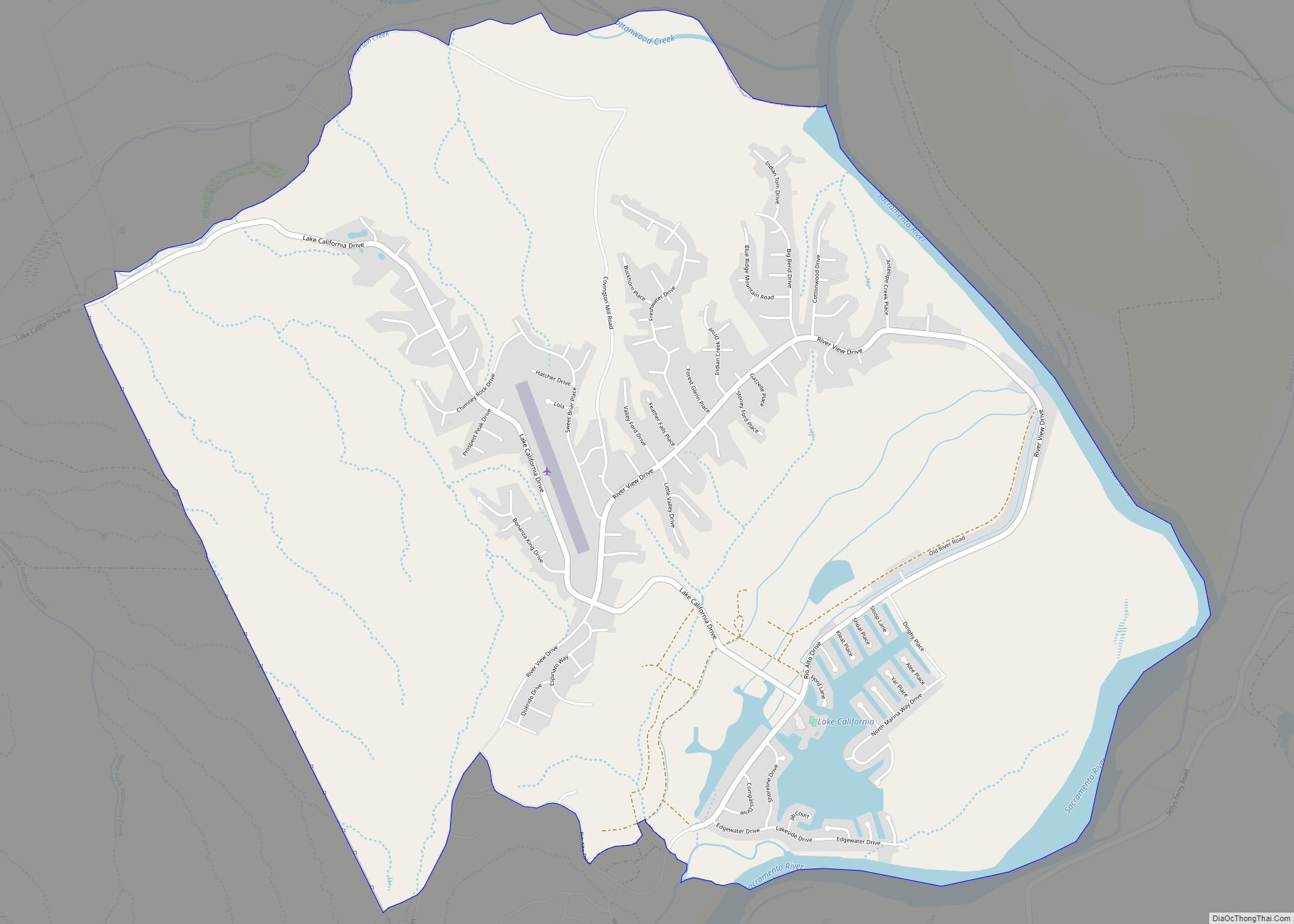
Lake California is a census-designated place (CDP) in Tehama County, California. Lake California sits at an elevation of 597 feet (182 m). The 2010 United States census reported Lake California’s population was 3,054. Lake California CDP overview: Name: Lake California CDP LSAD Code: 57 LSAD Description: CDP (suffix) State: California County: Tehama County Elevation: 597 ft (182 m) ... Read more
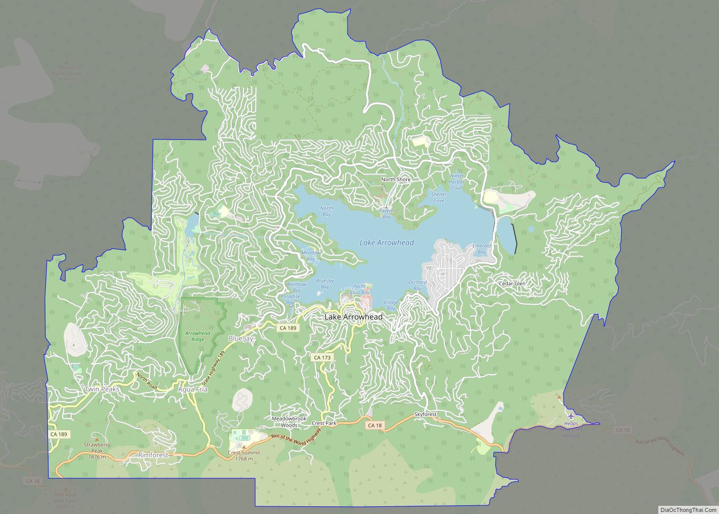
Lake Arrowhead is an unincorporated community and a census-designated place (CDP) in the San Bernardino Mountains of San Bernardino County, California, surrounded by the San Bernardino National Forest, and surrounding the eponymous Lake Arrowhead Reservoir. Lake Arrowhead is located 13 miles north east of the San Bernardino city limits. The population of the CDP was ... Read more
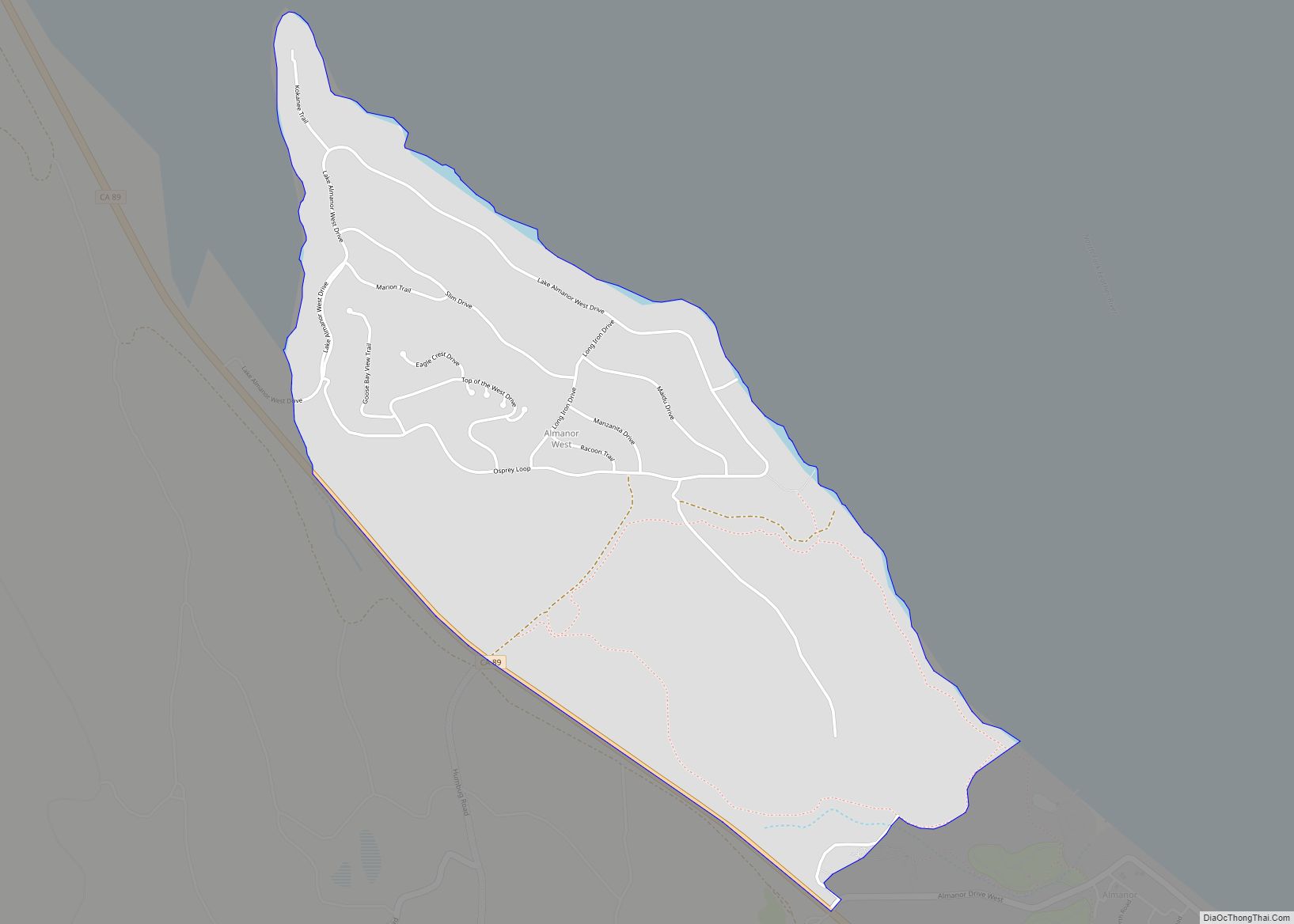
Lake Almanor West is a census-designated place (CDP) in Plumas County, California, United States. The population was 270 at the 2010 census, down from 329 at the 2000 census. Lake Almanor West CDP overview: Name: Lake Almanor West CDP LSAD Code: 57 LSAD Description: CDP (suffix) State: California County: Plumas County Total Area: 2.286 sq mi (5.920 km²) ... Read more
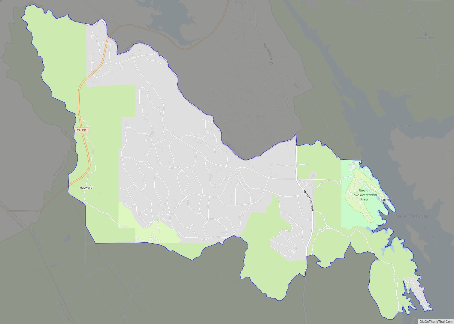
Lake Don Pedro is a census-designated place (CDP) in Mariposa County, California. The community sits at an elevation of 1,122 feet (342 m). As of the 2020 United States census, the population was 1,765. Lake Don Pedro CDP overview: Name: Lake Don Pedro CDP LSAD Code: 57 LSAD Description: CDP (suffix) State: California County: Mariposa County ... Read more
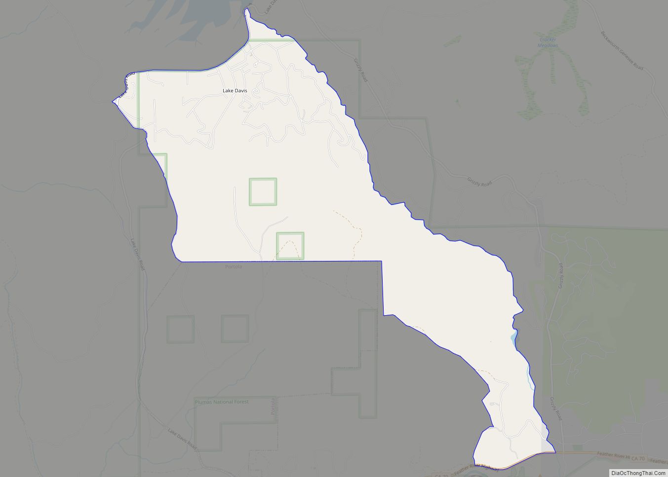
Lake Davis is a census-designated place (CDP) in Plumas County, California, United States. The population was 45 at the 2010 census. Lake Davis CDP overview: Name: Lake Davis CDP LSAD Code: 57 LSAD Description: CDP (suffix) State: California County: Plumas County Elevation: 5,886 ft (1,794 m) Total Area: 5.382 sq mi (13.942 km²) Land Area: 5.378 sq mi (13.930 km²) Water Area: 0.004 sq mi ... Read more
