Lake Arrowhead is an unincorporated community and a census-designated place (CDP) in the San Bernardino Mountains of San Bernardino County, California, surrounded by the San Bernardino National Forest, and surrounding the eponymous Lake Arrowhead Reservoir. Lake Arrowhead is located 13 miles north east of the San Bernardino city limits. The population of the CDP was estimated at 12,424 in the 2010 census. It was formerly called “Little Bear Lake”, until around 1920, when a group from Los Angeles, the Arrowhead Lake Company, bought the lake and the land surrounding it, and changed its name to Arrowhead Lake.
Tourism is the primary economic generator for the area, contributing several million dollars per year to the county and providing hundreds of full-time and part-time jobs for local residents. The area is host to over 4 million visitors a year. There are 400 guest rooms in hotels, motels and bed and breakfasts, vacation cabin rentals, condos, and rustic cabin lodges and resorts. The Lake Arrowhead community is home to the Lake Arrowhead Country Club and Golf Course, Lake Arrowhead Yacht Club, and SkyPark at Santa’s Village. The area is also popular for business conferences.
| Name: | Lake Arrowhead CDP |
|---|---|
| LSAD Code: | 57 |
| LSAD Description: | CDP (suffix) |
| State: | California |
| County: | San Bernardino County |
| Elevation: | 5,174 ft (1,577 m) |
| Total Area: | 18.951 sq mi (49.082 km²) |
| Land Area: | 17.727 sq mi (45.913 km²) |
| Water Area: | 1.224 sq mi (3.170 km²) 6.46% |
| Total Population: | 12,424 |
| Population Density: | 660/sq mi (250/km²) |
| ZIP code: | 92352 |
| Area code: | 909 |
| FIPS code: | 0639444 |
Online Interactive Map
Click on ![]() to view map in "full screen" mode.
to view map in "full screen" mode.
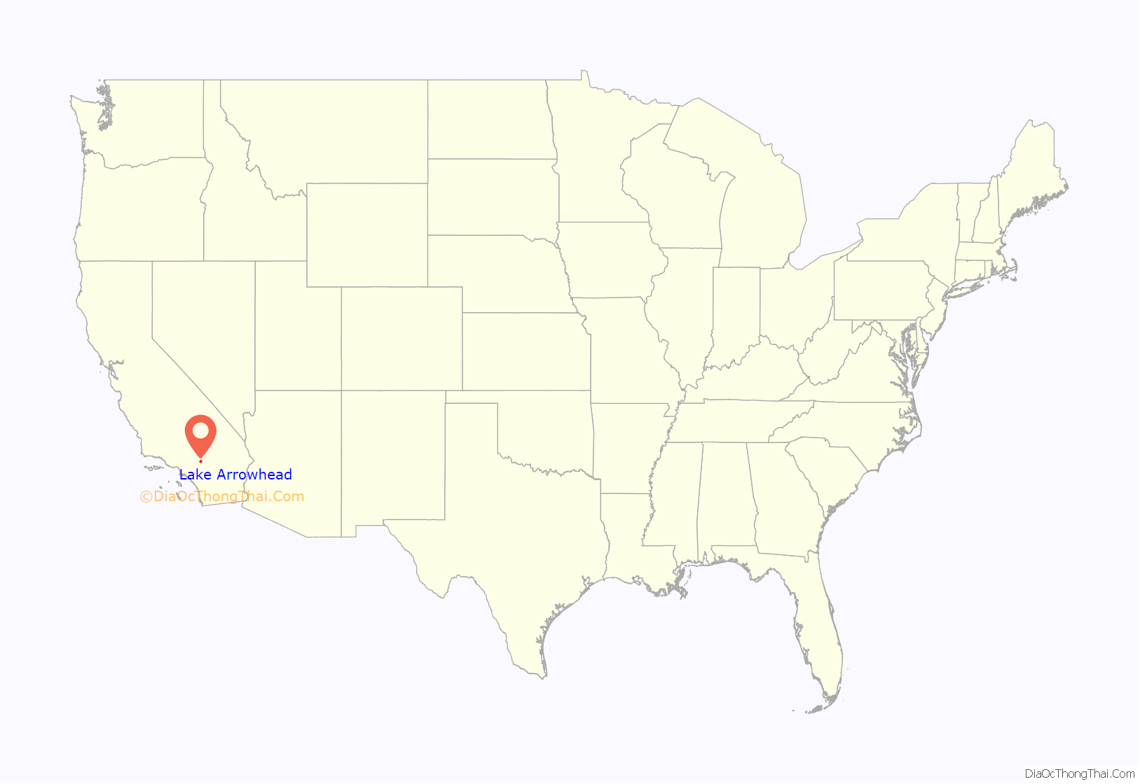
Lake Arrowhead location map. Where is Lake Arrowhead CDP?
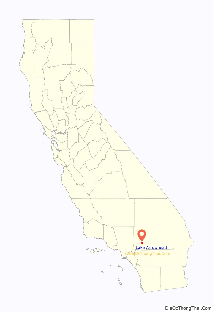
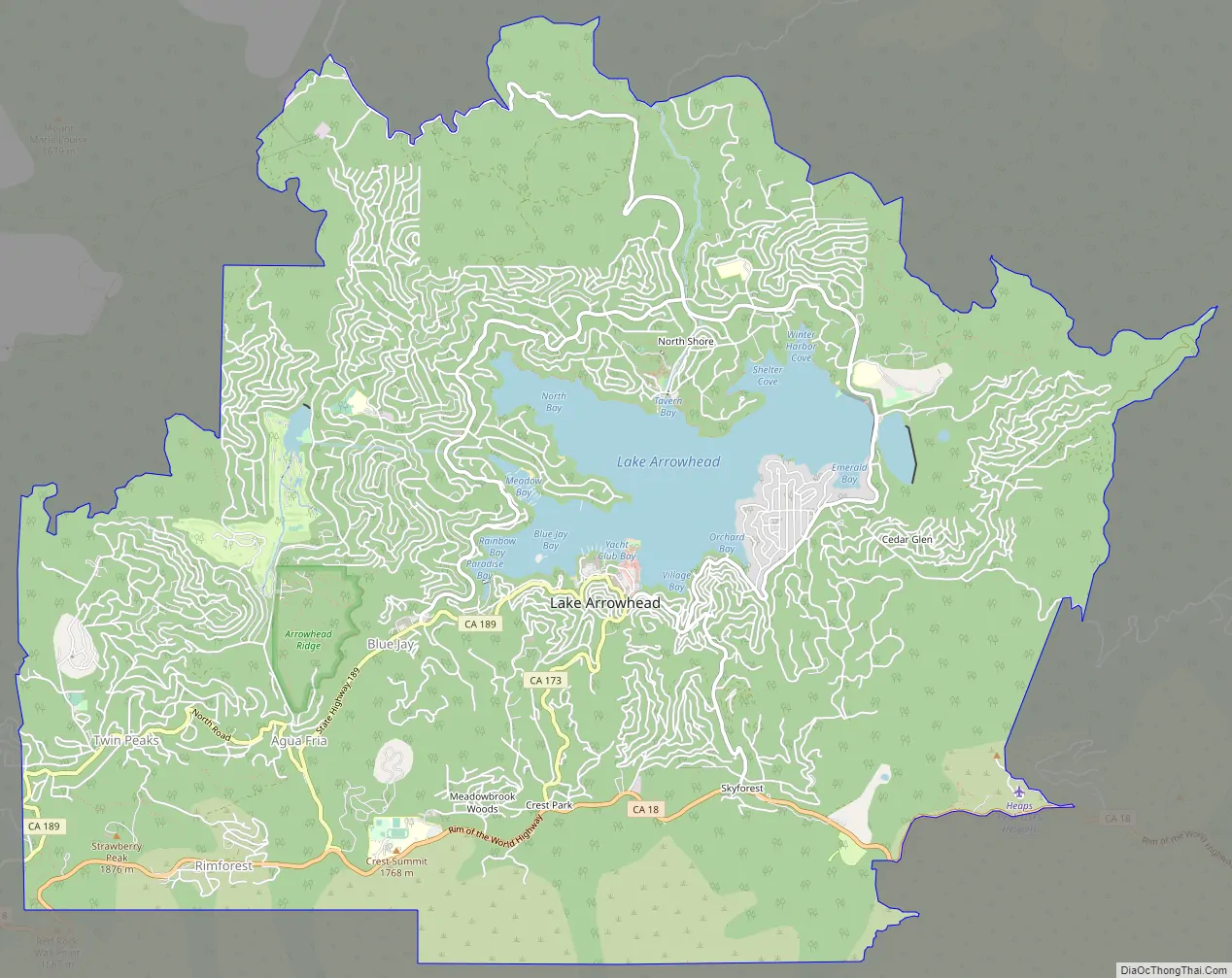
Lake Arrowhead Road Map
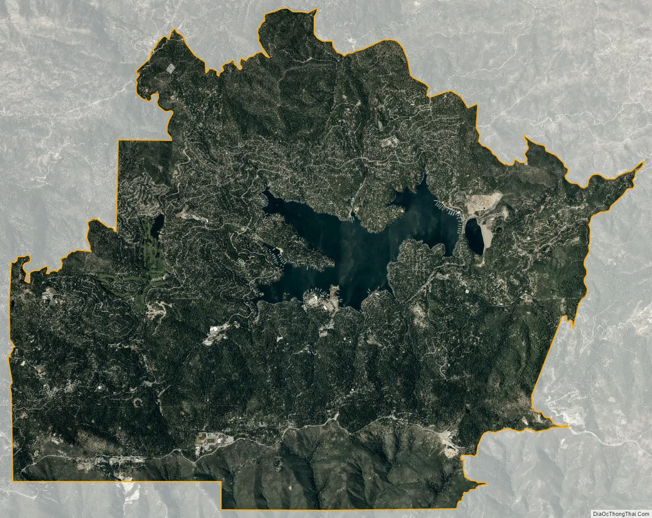
Lake Arrowhead city Satellite Map
Geography
Lake Arrowhead is located in the Inland Empire region of Southern California, about 20 minutes north of the San Bernardino city limits. Its economic center is at the intersection of State Routes 173 and 189. The CDP has a total area of 19.0 square miles (49.1 km), of which 17.7 square miles (45.9 km) is land and 1.2 square miles (3.2 km; 6.46%) is water.
Lake Arrowhead is a private lake governed by the Arrowhead Lake Association and is for restricted use by Lake Arrowhead property owners.
Outside of Lake Arrowhead Village there are several residential communities, which include Cedar Glen, Blue Jay, Rimforest, Skyforest, Twin Peaks, Crest Park, Hook Creek Tract, Deer Lodge Park, Arrowhead Villas, Grass Valley, and Agua Fria. There are three elementary schools, one middle school, and one high school in the area. 7 miles (11 km) north of Lake Arrowhead is the Pacific Crest Trail.
Santa’s Village at Lake Arrowhead was a popular theme park from 1955 to 1998, and reopened in 2016. It was the first franchised one in the United States, with two others in the Santa Cruz Mountains and Illinois.
See also
Map of California State and its subdivision:- Alameda
- Alpine
- Amador
- Butte
- Calaveras
- Colusa
- Contra Costa
- Del Norte
- El Dorado
- Fresno
- Glenn
- Humboldt
- Imperial
- Inyo
- Kern
- Kings
- Lake
- Lassen
- Los Angeles
- Madera
- Marin
- Mariposa
- Mendocino
- Merced
- Modoc
- Mono
- Monterey
- Napa
- Nevada
- Orange
- Placer
- Plumas
- Riverside
- Sacramento
- San Benito
- San Bernardino
- San Diego
- San Francisco
- San Joaquin
- San Luis Obispo
- San Mateo
- Santa Barbara
- Santa Clara
- Santa Cruz
- Shasta
- Sierra
- Siskiyou
- Solano
- Sonoma
- Stanislaus
- Sutter
- Tehama
- Trinity
- Tulare
- Tuolumne
- Ventura
- Yolo
- Yuba
- Alabama
- Alaska
- Arizona
- Arkansas
- California
- Colorado
- Connecticut
- Delaware
- District of Columbia
- Florida
- Georgia
- Hawaii
- Idaho
- Illinois
- Indiana
- Iowa
- Kansas
- Kentucky
- Louisiana
- Maine
- Maryland
- Massachusetts
- Michigan
- Minnesota
- Mississippi
- Missouri
- Montana
- Nebraska
- Nevada
- New Hampshire
- New Jersey
- New Mexico
- New York
- North Carolina
- North Dakota
- Ohio
- Oklahoma
- Oregon
- Pennsylvania
- Rhode Island
- South Carolina
- South Dakota
- Tennessee
- Texas
- Utah
- Vermont
- Virginia
- Washington
- West Virginia
- Wisconsin
- Wyoming


