Map of Viera West CDP

Map of Viera West CDP

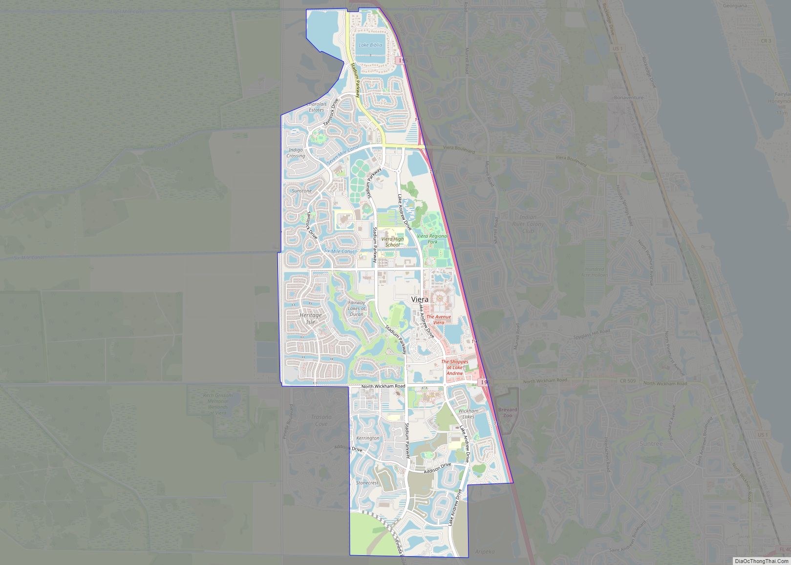
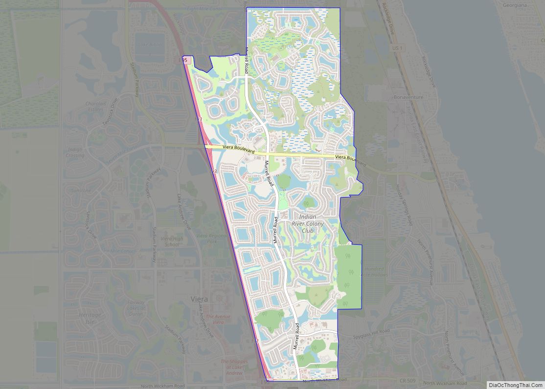
Viera West is a census-designated place (CDP) in Brevard County, Florida, United States. The population was 16,668 at the 2020 census. It forms a part of the larger unincorporated community of Viera and is part of the Palm Bay–Melbourne–Titusville Metropolitan Statistical Area. Viera West CDP overview: Name: Viera West CDP LSAD Code: 57 LSAD Description: … Read more

Map of Viera East CDP

Map of Viera East CDP

Viera East is a census-designated place (CDP) in Brevard County, Florida, United States. The population was 10,757 at the 2010 census. It forms a part of the larger unincorporated community of Viera and is part of the Palm Bay–Melbourne–Titusville Metropolitan Statistical Area. Viera East CDP overview: Name: Viera East CDP LSAD Code: 57 LSAD Description: … Read more

Map of Verona Walk CDP

Map of Verona Walk CDP

Verona Walk is a census-designated place (CDP) in Collier County, Florida, United States. The population was 1,782 at the 2010 census. It is part of the Naples–Marco Island Metropolitan Statistical Area. Verona Walk CDP overview: Name: Verona Walk CDP LSAD Code: 57 LSAD Description: CDP (suffix) State: Florida County: Collier County Elevation: 7 ft (2 m) Total … Read more

Map of Vineyards CDP

Map of Vineyards CDP

Vineyards is a census-designated place (CDP) in Collier County, Florida, United States. The population was 3,883 at the 2020 census. It is part of the Naples–Marco Island Metropolitan Statistical Area. Vineyards CDP overview: Name: Vineyards CDP LSAD Code: 57 LSAD Description: CDP (suffix) State: Florida County: Collier County Elevation: 10 ft (3 m) Total Area: 2.26 sq mi (5.86 km²) … Read more

Map of Villas CDP

Map of Villas CDP, Florida

Villas, Florida is an unincorporated community and census-designated place (CDP) in Lee County, Florida, United States. It is part of the Cape Coral-Fort Myers, Florida Metropolitan Statistical Area. Villas CDP overview: Name: Villas CDP LSAD Code: 57 LSAD Description: CDP (suffix) State: Florida County: Lee County Elevation: 10 ft (3 m) Total Area: 4.85 sq mi (12.56 km²) Land Area: … Read more

Map of Villano Beach CDP

Map of Villano Beach CDP

Vilano Beach is an unincorporated community in St. Johns County, Florida, United States. It was listed as the Villano Beach census-designated place (CDP) by the U.S. Census Bureau from 2010 to 1990; however, the name was corrected to Vilano Beach for the 2020 census. The population was 2,514 at the 2020 census. Villano Beach CDP … Read more

Map of Wabasso CDP

Map of Wabasso CDP, Florida

Wabasso is an unincorporated community and census-designated place (CDP) in Indian River County, Florida, United States. The population was 609 at the 2010 census, down from 918 at the 2000 census. It is located at the intersection of U.S. 1 and SR 510. Wabasso is part of the Sebastian–Vero Beach Metropolitan Statistical Area. Wabasso CDP … Read more

Map of Wabasso Beach CDP

Map of Wabasso Beach CDP

Wabasso Beach is a census-designated place (CDP) in Indian River County, Florida, United States. The population was 1,853 at the 2010 census, an increase of 72.4% since 2000. It is part of the Sebastian–Vero Beach Metropolitan Statistical Area. Wabasso Beach CDP overview: Name: Wabasso Beach CDP LSAD Code: 57 LSAD Description: CDP (suffix) State: Florida … Read more

Map of Virginia Gardens village

Map of Virginia Gardens village

Virginia Gardens is a village in Miami-Dade County, Florida, United States. According to the U.S. Census Bureau, the village had a population of 2,364 in 2020. Virginia Gardens village overview: Name: Virginia Gardens village LSAD Code: 47 LSAD Description: village (suffix) State: Florida County: Miami-Dade County Incorporated: July 10, 1947 Elevation: 3 ft (1 m) Total Area: … Read more

Map of Waldo city, Florida

Map of Waldo city, Florida

Waldo is a city in Alachua County, Florida, United States. According to the 2010 census the population was 1,015, up from 821 in 2000. Waldo city overview: Name: Waldo city LSAD Code: 25 LSAD Description: city (suffix) State: Florida County: Alachua County Elevation: 167 ft (51 m) Total Area: 2.33 sq mi (6.03 km²) Land Area: 2.17 sq mi (5.63 km²) Water Area: … Read more

Map of Wahneta CDP

Map of Wahneta CDP

Wahneta is a census-designated place (CDP) in central Polk County, Florida, United States. The population was 4,731 at the 2000 census. It is part of the Lakeland–Winter Haven Metropolitan Statistical Area. Wahneta CDP overview: Name: Wahneta CDP LSAD Code: 57 LSAD Description: CDP (suffix) State: Florida County: Polk County Elevation: 135 ft (41 m) Total Area: 2.27 sq mi … Read more

Map of Wacissa CDP

Map of Wacissa CDP

Wacissa is a small unincorporated community and census-designated place (CDP) in Jefferson County, Florida, United States. As of the 2020 census, the population was 362. It shares its name with the Wacissa River, the headwaters of which are about one mile to the south. Wacissa CDP overview: Name: Wacissa CDP LSAD Code: 57 LSAD Description: … Read more