Waldo is a city in Alachua County, Florida, United States. According to the 2010 census the population was 1,015, up from 821 in 2000.
| Name: | Waldo city |
|---|---|
| LSAD Code: | 25 |
| LSAD Description: | city (suffix) |
| State: | Florida |
| County: | Alachua County |
| Elevation: | 167 ft (51 m) |
| Total Area: | 2.33 sq mi (6.03 km²) |
| Land Area: | 2.17 sq mi (5.63 km²) |
| Water Area: | 0.15 sq mi (0.40 km²) |
| Total Population: | 846 |
| Population Density: | 389.14/sq mi (150.22/km²) |
| ZIP code: | 32694 |
| Area code: | 352 |
| FIPS code: | 1274925 |
| GNISfeature ID: | 0292824 |
| Website: | waldo-fl.com |
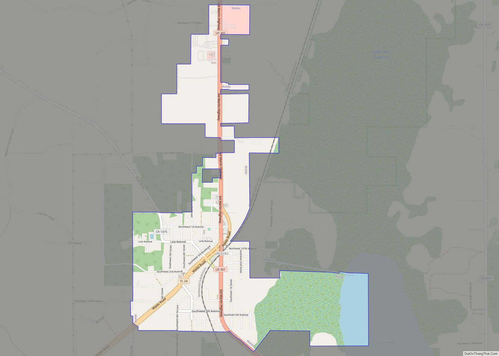
Online Interactive Map
Click on ![]() to view map in "full screen" mode.
to view map in "full screen" mode.
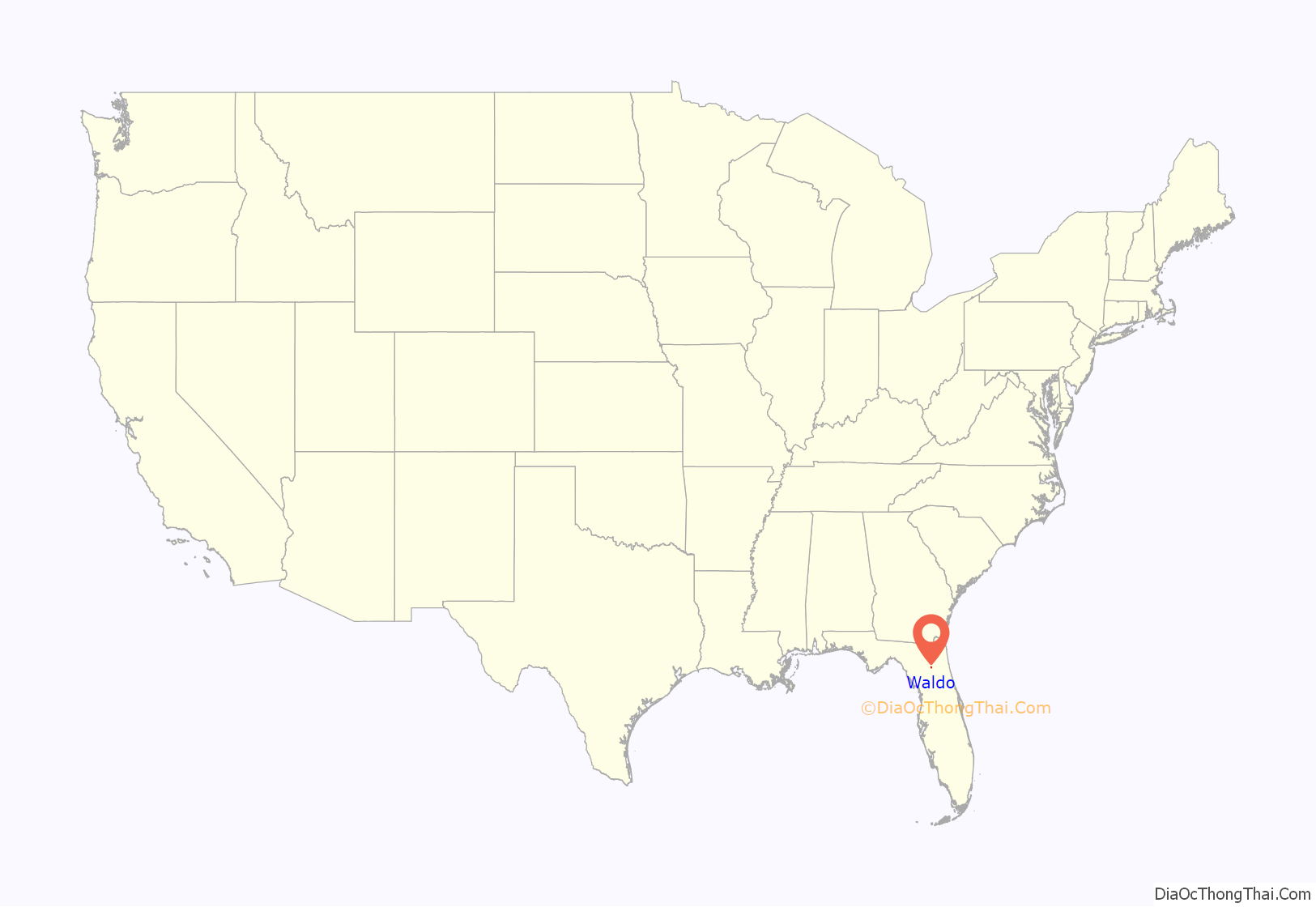
Waldo location map. Where is Waldo city?

History
The first major U.S. federal highway in early territorial Florida, Bellamy Road, was constructed in the 1820s–1830s and passed through Waldo from around Lake Santa Fe to the east and on towards the Santa Fe River in the west, where it passed over the river on a natural land bridge at modern O’Leno State Park. In 1853, the Florida Legislature chartered the Florida Railroad to build a line from Fernandina to Tampa, Florida, with a branch running to Cedar Key. U.S. Senator David Levy Yulee, president and chief stockholder of the Florida Railroad, made the decision to build the Cedar Key branch first. The section up to Gainesville was completed by 1859, with the intersection of Bellamy Road and the Florida Railroad named Waldo Station, after Senator Yulee’s friend Benjamin Waldo, a doctor and politician. In 1876, the railroad branch from Waldo to Ocala was completed.
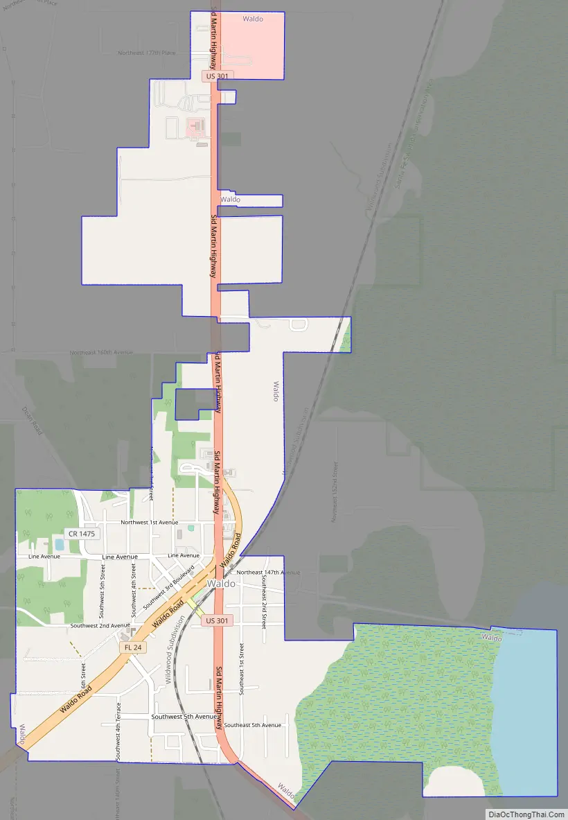
Waldo Road Map
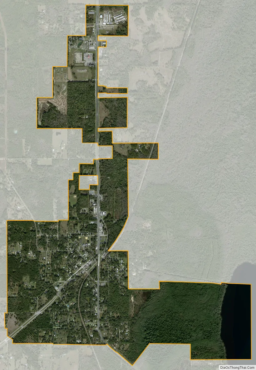
Waldo city Satellite Map
Geography
According to the United States Census Bureau, the city has a total area of 2.2 square miles (5.6 km), of which 0.015 square miles (0.04 km), or 0.74%, is water.
Lake Alto is a freshwater lake east of Waldo.
See also
Map of Florida State and its subdivision:- Alachua
- Baker
- Bay
- Bradford
- Brevard
- Broward
- Calhoun
- Charlotte
- Citrus
- Clay
- Collier
- Columbia
- Desoto
- Dixie
- Duval
- Escambia
- Flagler
- Franklin
- Gadsden
- Gilchrist
- Glades
- Gulf
- Hamilton
- Hardee
- Hendry
- Hernando
- Highlands
- Hillsborough
- Holmes
- Indian River
- Jackson
- Jefferson
- Lafayette
- Lake
- Lee
- Leon
- Levy
- Liberty
- Madison
- Manatee
- Marion
- Martin
- Miami-Dade
- Monroe
- Nassau
- Okaloosa
- Okeechobee
- Orange
- Osceola
- Palm Beach
- Pasco
- Pinellas
- Polk
- Putnam
- Saint Johns
- Saint Lucie
- Santa Rosa
- Sarasota
- Seminole
- Sumter
- Suwannee
- Taylor
- Union
- Volusia
- Wakulla
- Walton
- Washington
- Alabama
- Alaska
- Arizona
- Arkansas
- California
- Colorado
- Connecticut
- Delaware
- District of Columbia
- Florida
- Georgia
- Hawaii
- Idaho
- Illinois
- Indiana
- Iowa
- Kansas
- Kentucky
- Louisiana
- Maine
- Maryland
- Massachusetts
- Michigan
- Minnesota
- Mississippi
- Missouri
- Montana
- Nebraska
- Nevada
- New Hampshire
- New Jersey
- New Mexico
- New York
- North Carolina
- North Dakota
- Ohio
- Oklahoma
- Oregon
- Pennsylvania
- Rhode Island
- South Carolina
- South Dakota
- Tennessee
- Texas
- Utah
- Vermont
- Virginia
- Washington
- West Virginia
- Wisconsin
- Wyoming