Salem is a census-designated place (CDP) in Upson County, Georgia, United States. The population was 310 at the 2010 census. Salem CDP overview: Name: Salem CDP LSAD Code: 57 LSAD Description: CDP (suffix) State: Georgia County: Upson County Elevation: 512 ft (156 m) Total Area: 8.83 sq mi (22.88 km²) Land Area: 8.82 sq mi (22.86 km²) Water Area: 0.01 sq mi (0.03 km²) Total Population: ... Read more
Georgia Cities and Places
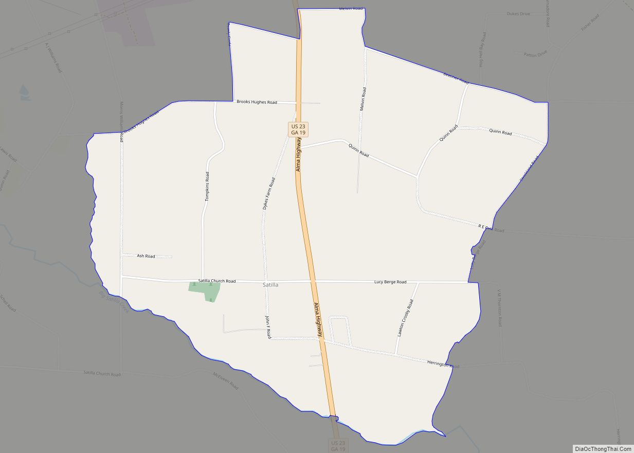
Satilla is a census-designated place and unincorporated community in Jeff Davis County, Georgia, United States. Its population was 487 as of the 2020 census. U.S. Route 23 passes through the community. Satilla CDP overview: Name: Satilla CDP LSAD Code: 57 LSAD Description: CDP (suffix) State: Georgia County: Jeff Davis County Elevation: 230 ft (70 m) Total Area: ... Read more
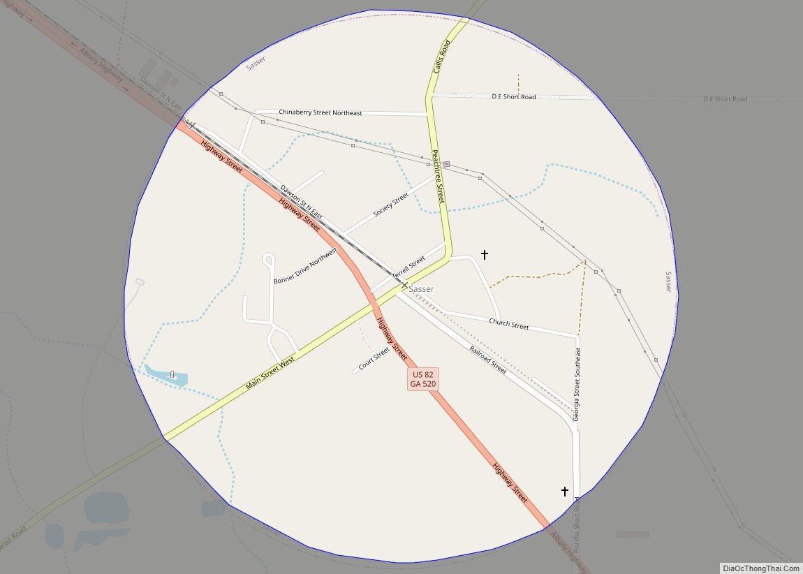
Sasser is a town in Terrell County, Georgia, United States. The population was 393 at the 2000 census. It is part of the Albany, Georgia Metropolitan Statistical Area. Sasser town overview: Name: Sasser town LSAD Code: 43 LSAD Description: town (suffix) State: Georgia County: Terrell County Elevation: 318 ft (97 m) Total Area: 0.78 sq mi (2.02 km²) Land Area: ... Read more
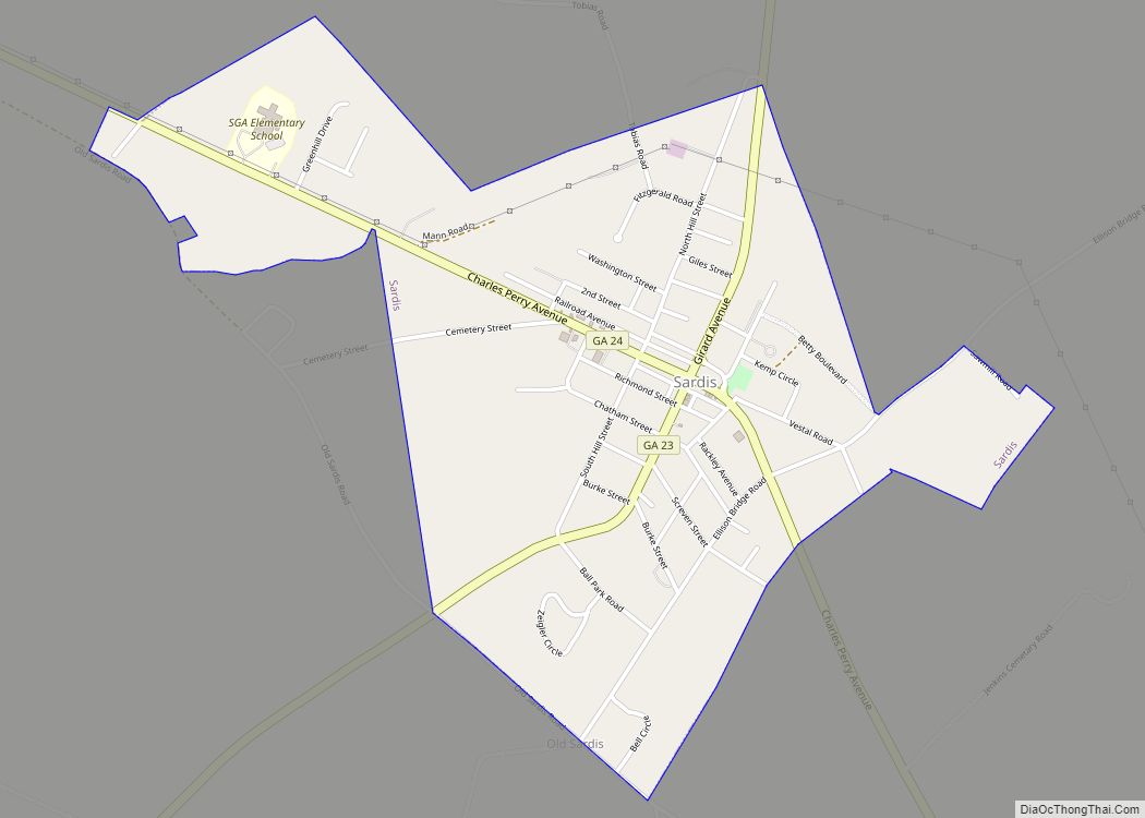
Sardis is a city in Burke County, Georgia, United States. The population is 999 at the 2010 census. It is part of the Augusta, Georgia metropolitan area in the Central Savannah River Area (CSRA). Sardis city overview: Name: Sardis city LSAD Code: 25 LSAD Description: city (suffix) State: Georgia County: Burke County Elevation: 240 ft (73 m) ... Read more
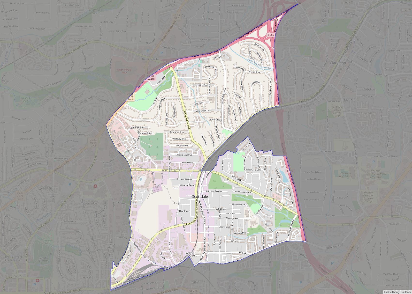
Scottdale is a census-designated place (CDP) in DeKalb County, Georgia, United States. The population was 10,631 at the 2010 census. Scottdale CDP overview: Name: Scottdale CDP LSAD Code: 57 LSAD Description: CDP (suffix) State: Georgia County: DeKalb County Elevation: 1,030 ft (314 m) Total Area: 3.33 sq mi (8.64 km²) Land Area: 3.33 sq mi (8.62 km²) Water Area: 0.01 sq mi (0.02 km²) Total Population: ... Read more
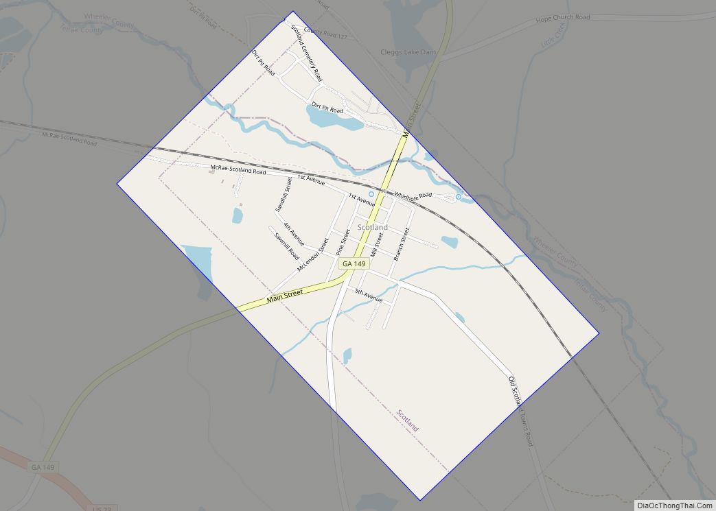
Scotland is a city in Telfair and Wheeler counties in the U.S. state of Georgia. As of the 2000 census, the city population was 300. Scotland city overview: Name: Scotland city LSAD Code: 25 LSAD Description: city (suffix) State: Georgia County: Telfair County, Wheeler County Elevation: 164 ft (50 m) Total Area: 1.46 sq mi (3.78 km²) Land Area: 1.43 sq mi ... Read more
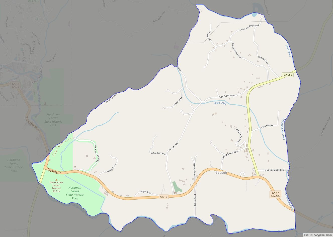
Sautee Nacoochee (or Sautee-Nacoochee) is a census-designated place in White County, Georgia, United States, near Sautee Creek in the Appalachian foothills of northeast Georgia, approximately 95 miles (153 km) north of Atlanta. The nearest incorporated town is the tourist destination of Helen. Sautee-Nacoochee CDP overview: Name: Sautee-Nacoochee CDP LSAD Code: 57 LSAD Description: CDP (suffix) State: ... Read more
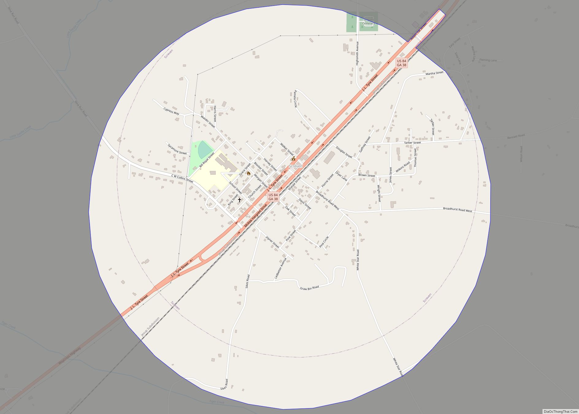
Screven (/skrɪvm/) is a city in Wayne County, Georgia, United States. The population was 766 at the 2010 census. Although it was a railroad town as early as 1847, it was not officially chartered until August 19, 1907. Screven city overview: Name: Screven city LSAD Code: 25 LSAD Description: city (suffix) State: Georgia County: Wayne ... Read more
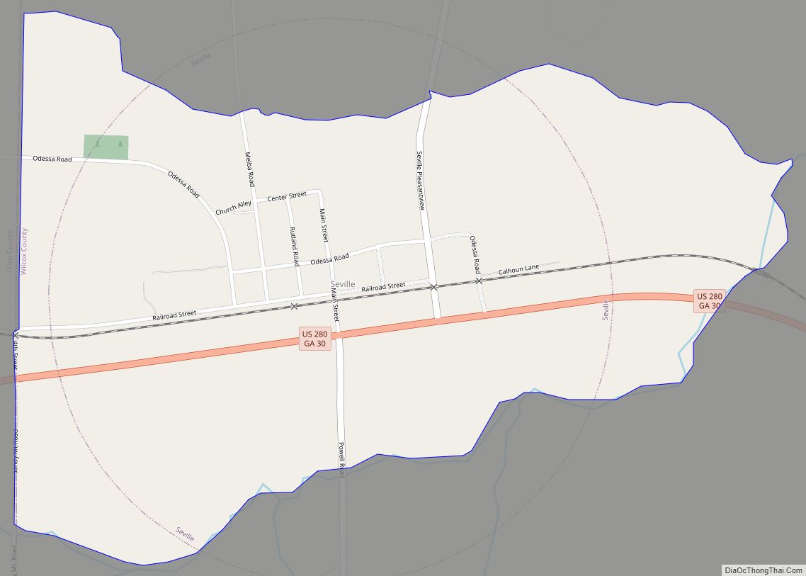
Seville is a census-designated place in Wilcox County, Georgia, United States. Per the 2020 census, the population was 197. It lies approximately 0.5 miles (0.80 km) away from the Crisp County line, and about 4 miles (6.4 km) away from Pitts. Seville CDP overview: Name: Seville CDP LSAD Code: 57 LSAD Description: CDP (suffix) State: Georgia County: ... Read more
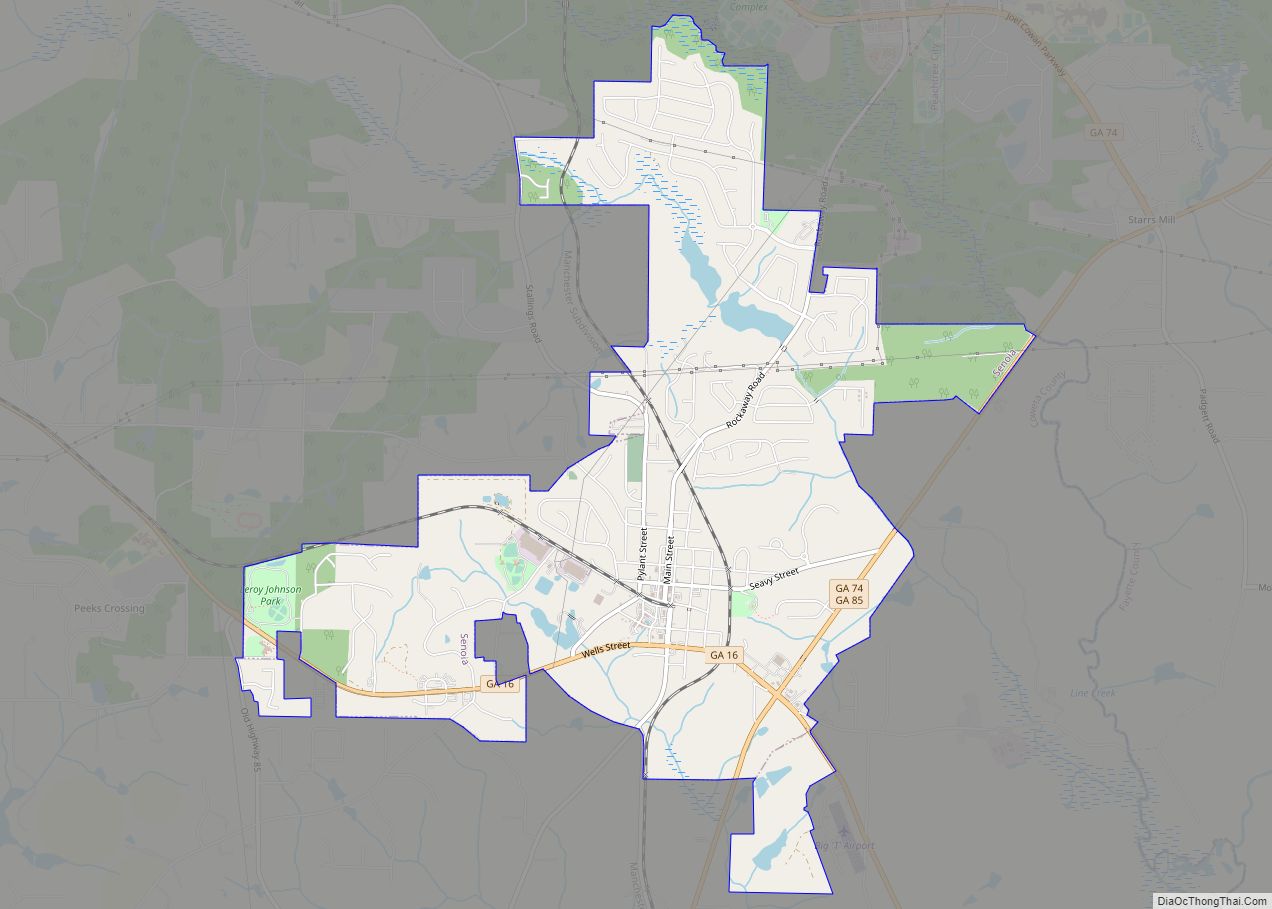
Senoia (/səˈnɔɪə/, locally /səˈnɔɪ/) is a city located 35 minutes south of Atlanta in Coweta County, Georgia, United States. It is part of the Atlanta metropolitan area. Its population was 5,016 at the 2020 census. Senoia city overview: Name: Senoia city LSAD Code: 25 LSAD Description: city (suffix) State: Georgia County: Coweta County Elevation: 889 ft ... Read more
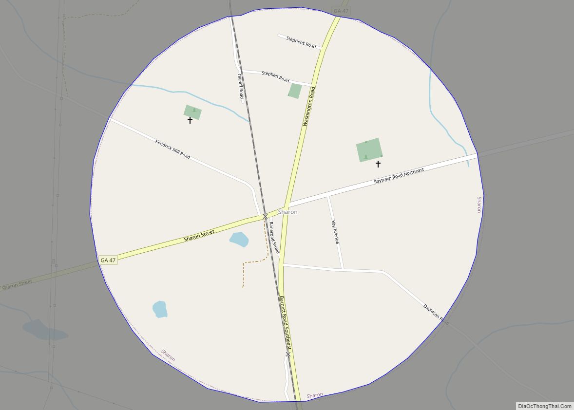
Sharon is a city in Taliaferro County, Georgia, United States. The population was 105 at the 2000 census. Sharon city overview: Name: Sharon city LSAD Code: 25 LSAD Description: city (suffix) State: Georgia County: Taliaferro County Elevation: 600 ft (183 m) Total Area: 0.78 sq mi (2.03 km²) Land Area: 0.78 sq mi (2.02 km²) Water Area: 0.00 sq mi (0.01 km²) Total Population: 104 Population ... Read more
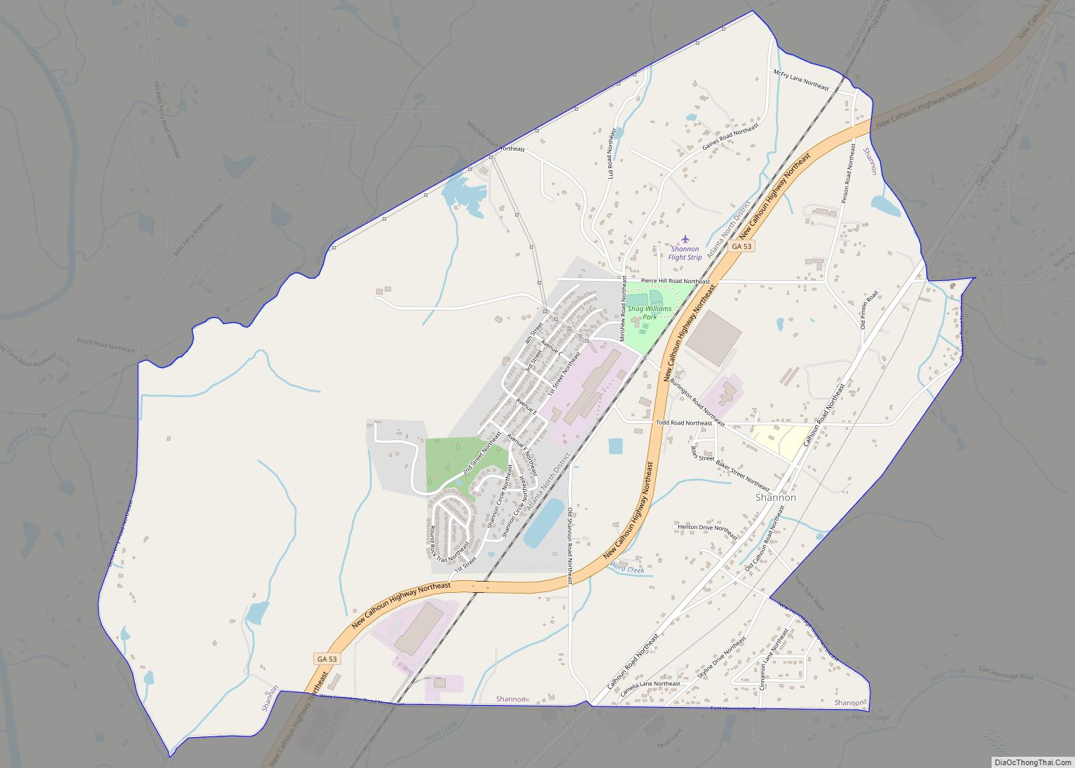
Shannon is an unincorporated community and census-designated place (CDP) in Floyd County, Georgia, United States. It is part of the Rome, Georgia Metropolitan Statistical Area. The population was 1,862 at the 2010 census. Shannon CDP overview: Name: Shannon CDP LSAD Code: 57 LSAD Description: CDP (suffix) State: Georgia County: Floyd County Elevation: 696 ft (212 m) Total ... Read more

