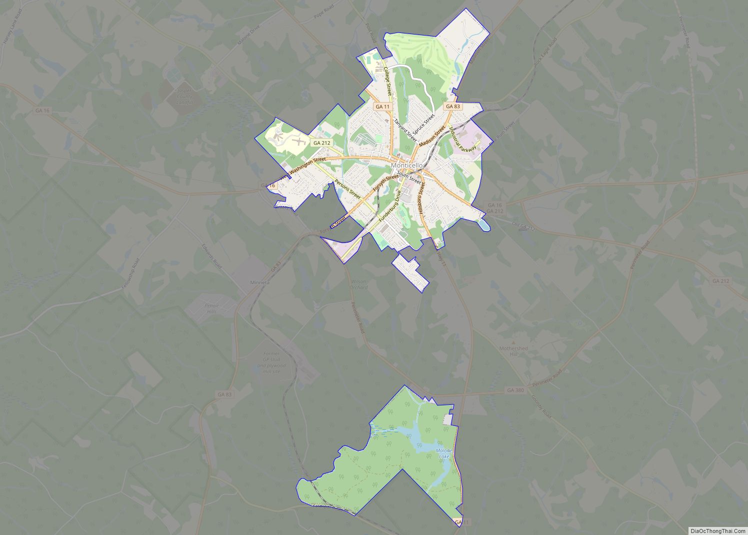
Shady Dale is a town in Jasper County, Georgia, United States. The population was 249 at the 2010 census.
| Name: | Shady Dale town |
|---|---|
| LSAD Code: | 43 |
| LSAD Description: | town (suffix) |
| State: | Georgia |
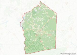
| County: | Jasper County |
| Elevation: | 623 ft (190 m) |
| Total Area: | 0.89 sq mi (2.30 km²) |
| Land Area: | 0.89 sq mi (2.29 km²) |
| Water Area: | 0.00 sq mi (0.01 km²) |
| Total Population: | 252 |
| Population Density: | 284.75/sq mi (109.95/km²) |
| ZIP code: | 31085 |
| Area code: | 706 |
| FIPS code: | 1369784 |
| GNISfeature ID: | 0329643 |
Online Interactive Map
Click on ![]() to view map in "full screen" mode.
to view map in "full screen" mode.
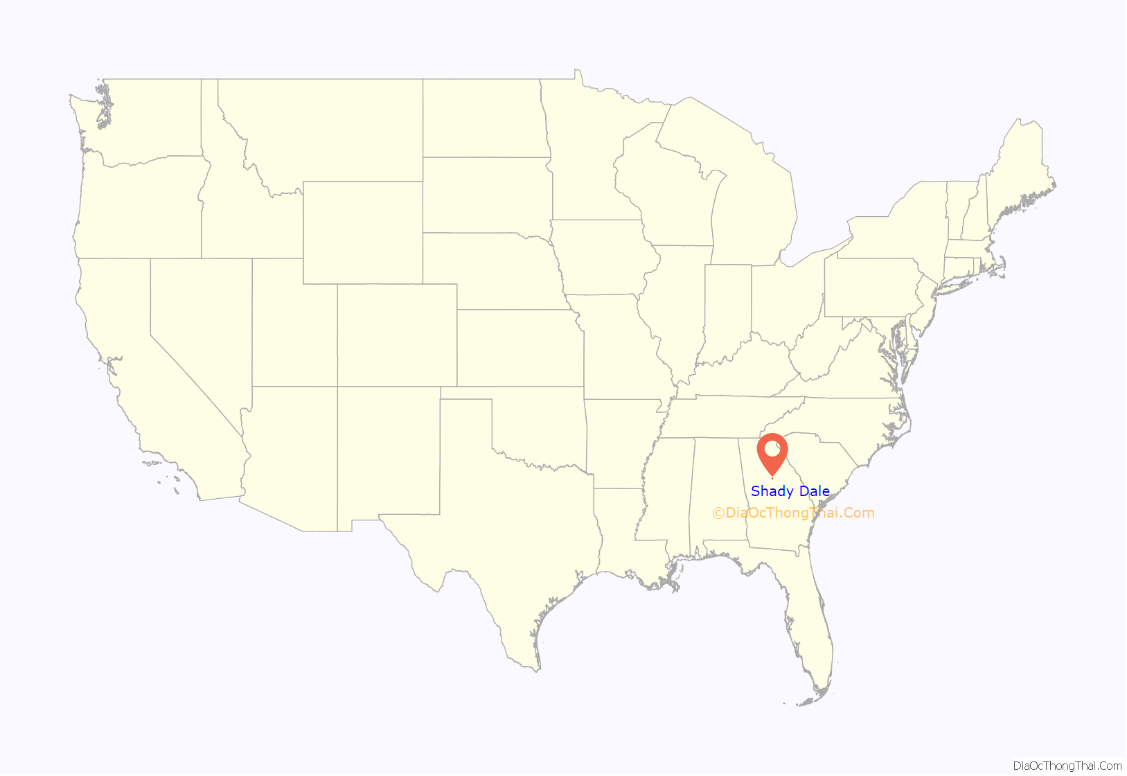
Shady Dale location map. Where is Shady Dale town?

History
Shady Dale was founded ca. 1880 on the site of a former Creek Indian settlement. The name “Shady Dale” was descriptively applied.
The Georgia General Assembly incorporated Shady Dale as a town in 1889.
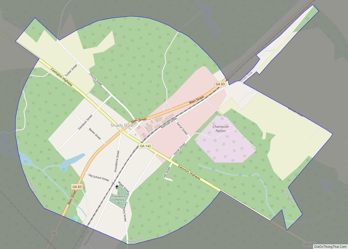
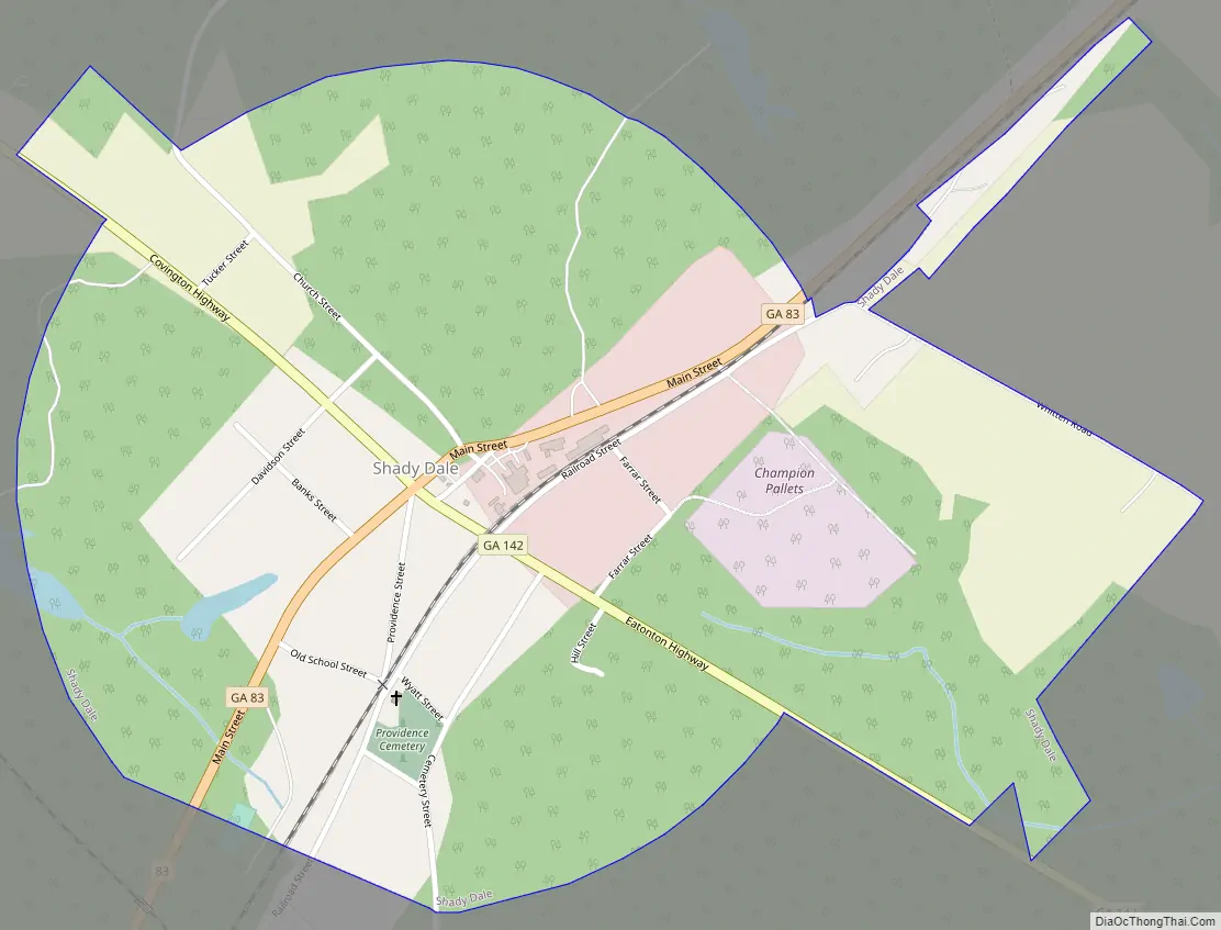
Shady Dale Road Map
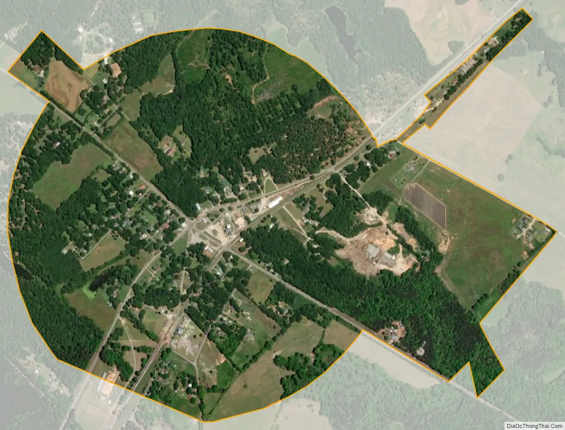
Shady Dale city Satellite Map
Geography
Shady Dale is located in northeastern Jasper County at 33°23′58″N 83°35′24″W / 33.39944°N 83.59000°W / 33.39944; -83.59000 (33.399562, -83.589937). Georgia State Routes 83 and 142 intersect in the center of town. GA 83 leads northeast 17 miles (27 km) to Madison and southwest 8 miles (13 km) to Monticello, the Jasper county seat, while GA 142 leads northwest 11 miles (18 km) to Newborn and southeast 9 miles (14 km) to Willard.
According to the United States Census Bureau, the town has a total area of 0.89 square miles (2.3 km), of which 1.8 acres (7,479 m), or 0.33%, are water. The east side of town drains toward the Little River, a tributary of the Oconee River, while the west side drains to Murder Creek, a tributary of the Little River. The town is home to the Silver Bullet Hunting club.
See also
Map of Georgia State and its subdivision:- Appling
- Atkinson
- Bacon
- Baker
- Baldwin
- Banks
- Barrow
- Bartow
- Ben Hill
- Berrien
- Bibb
- Bleckley
- Brantley
- Brooks
- Bryan
- Bulloch
- Burke
- Butts
- Calhoun
- Camden
- Candler
- Carroll
- Catoosa
- Charlton
- Chatham
- Chattahoochee
- Chattooga
- Cherokee
- Clarke
- Clay
- Clayton
- Clinch
- Cobb
- Coffee
- Colquitt
- Columbia
- Cook
- Coweta
- Crawford
- Crisp
- Dade
- Dawson
- Decatur
- DeKalb
- Dodge
- Dooly
- Dougherty
- Douglas
- Early
- Echols
- Effingham
- Elbert
- Emanuel
- Evans
- Fannin
- Fayette
- Floyd
- Forsyth
- Franklin
- Fulton
- Gilmer
- Glascock
- Glynn
- Gordon
- Grady
- Greene
- Gwinnett
- Habersham
- Hall
- Hancock
- Haralson
- Harris
- Hart
- Heard
- Henry
- Houston
- Irwin
- Jackson
- Jasper
- Jeff Davis
- Jefferson
- Jenkins
- Johnson
- Jones
- Lamar
- Lanier
- Laurens
- Lee
- Liberty
- Lincoln
- Long
- Lowndes
- Lumpkin
- Macon
- Madison
- Marion
- McDuffie
- McIntosh
- Meriwether
- Miller
- Mitchell
- Monroe
- Montgomery
- Morgan
- Murray
- Muscogee
- Newton
- Oconee
- Oglethorpe
- Paulding
- Peach
- Pickens
- Pierce
- Pike
- Polk
- Pulaski
- Putnam
- Quitman
- Rabun
- Randolph
- Richmond
- Rockdale
- Schley
- Screven
- Seminole
- Spalding
- Stephens
- Stewart
- Sumter
- Talbot
- Taliaferro
- Tattnall
- Taylor
- Telfair
- Terrell
- Thomas
- Tift
- Toombs
- Towns
- Treutlen
- Troup
- Turner
- Twiggs
- Union
- Upson
- Walker
- Walton
- Ware
- Warren
- Washington
- Wayne
- Webster
- Wheeler
- White
- Whitfield
- Wilcox
- Wilkes
- Wilkinson
- Worth
- Alabama
- Alaska
- Arizona
- Arkansas
- California
- Colorado
- Connecticut
- Delaware
- District of Columbia
- Florida
- Georgia
- Hawaii
- Idaho
- Illinois
- Indiana
- Iowa
- Kansas
- Kentucky
- Louisiana
- Maine
- Maryland
- Massachusetts
- Michigan
- Minnesota
- Mississippi
- Missouri
- Montana
- Nebraska
- Nevada
- New Hampshire
- New Jersey
- New Mexico
- New York
- North Carolina
- North Dakota
- Ohio
- Oklahoma
- Oregon
- Pennsylvania
- Rhode Island
- South Carolina
- South Dakota
- Tennessee
- Texas
- Utah
- Vermont
- Virginia
- Washington
- West Virginia
- Wisconsin
- Wyoming