Map of Arbon Valley CDP

Map of Arbon Valley CDP

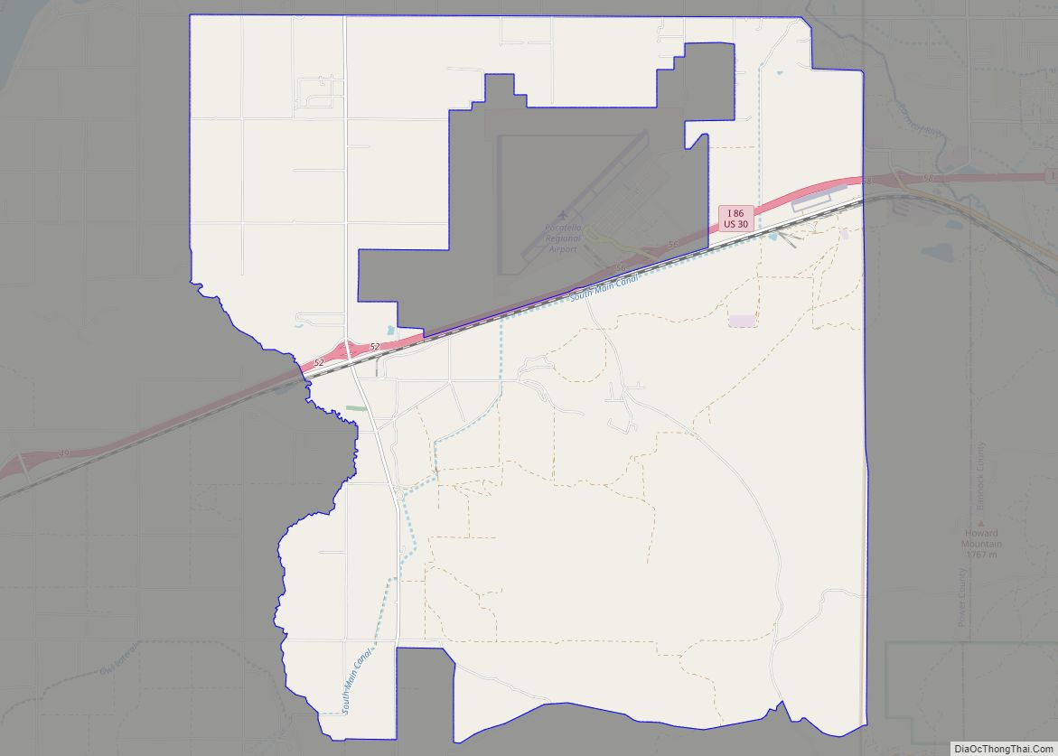
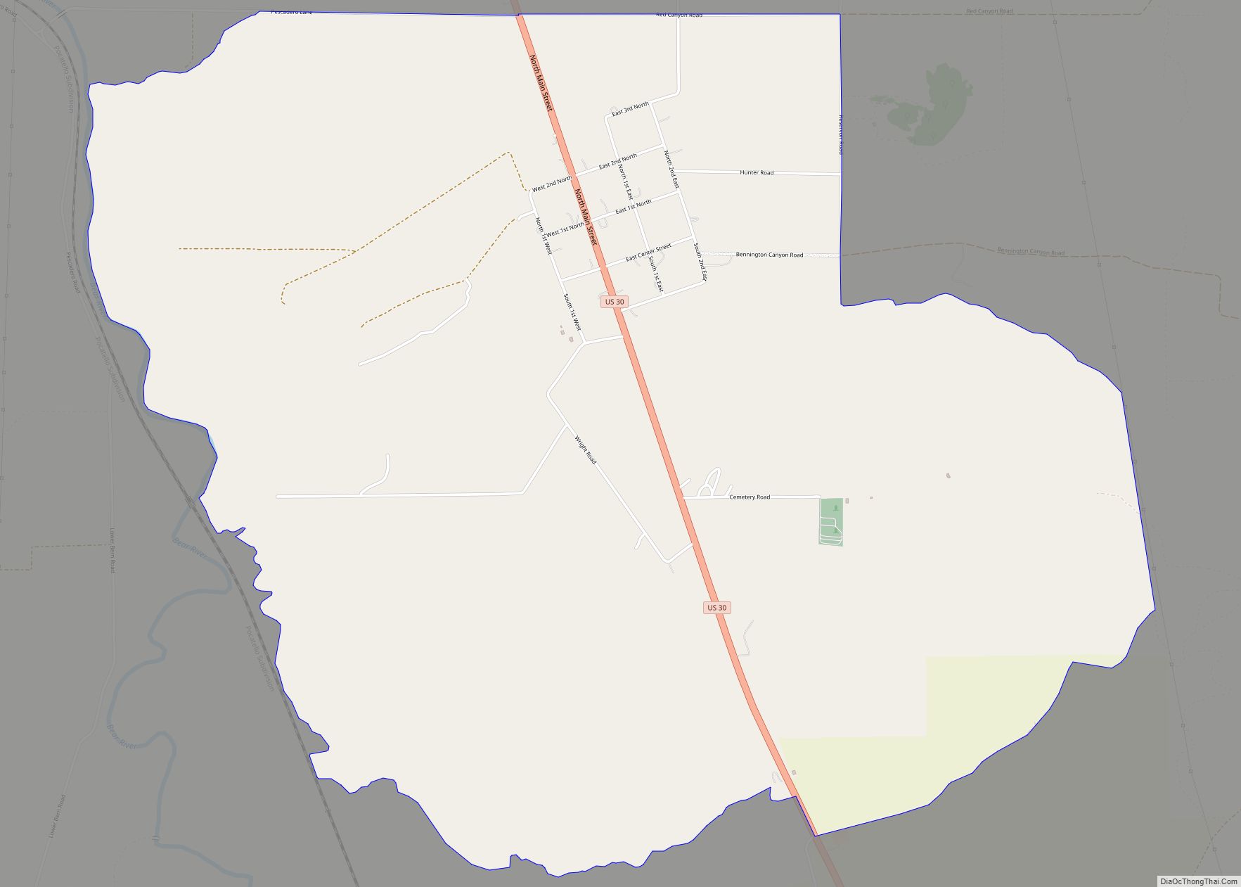
Arbon Valley is a census-designated place (CDP) in Power County, Idaho, in the United States. As of the 2010 census, the CDP population was 599. It lies within the Fort Hall Indian Reservation, just west of the city of Pocatello. Arbon Valley CDP overview: Name: Arbon Valley CDP LSAD Code: 57 LSAD Description: CDP (suffix) … Read more

Map of Atomic City city

Map of Atomic City

Atomic City is a city in Bingham County, Idaho, United States. The population was 41 at the 2020 census, up from 29 in 2010. Atomic City overview: Name: Atomic City LSAD Code: 25 LSAD Description: city (suffix) State: Idaho County: Bingham County Elevation: 5,013 ft (1,528 m) Total Area: 0.08 sq mi (0.21 km²) Land Area: 0.08 sq mi (0.21 km²) Water Area: … Read more

Map of Athol city

Map of Athol city, Idaho

Athol is a city in Kootenai County, Idaho, United States. The population was 709 at the 2020 census, up from 692 in 2010 census. It is part of the Coeur d’Alene Metropolitan Statistical Area, which includes the entire county. Athol is notable for being the location of Silverwood theme park. Several miles east of town … Read more

Map of Ashton city, Idaho

Map of Ashton city, Idaho

Ashton is a city in Fremont County, Idaho, United States. The population was 1,127 at the 2010 census, and it is part of the Rexburg Micropolitan Statistical Area. The district is noted for seed potato production and bills itself as the world’s largest seed potato growing area. Ashton city overview: Name: Ashton city LSAD Code: … Read more

Map of Basalt city, Idaho

Map of Basalt city, Idaho

Basalt is a city in Bingham County, Idaho, United States. The population was 394 at the 2010 census. Basalt city overview: Name: Basalt city LSAD Code: 25 LSAD Description: city (suffix) State: Idaho County: Bingham County Elevation: 4,590 ft (1,399 m) Total Area: 0.29 sq mi (0.76 km²) Land Area: 0.29 sq mi (0.76 km²) Water Area: 0.00 sq mi (0.00 km²) Total Population: 394 Population … Read more

Map of Banks CDP, Idaho

Map of Banks CDP, Idaho

Banks is an unincorporated census-designated place in Boise County, Idaho, United States. Banks is located on Idaho State Highway 55 12 miles (19 km) north-northeast of Horseshoe Bend. Banks has a post office with ZIP code 83602. As of the 2010 census, its population was 17. The North and South forks of the Payette River meet … Read more

Map of Bancroft city, Idaho

Map of Bancroft city, Idaho

Bancroft is a city in the Gem Valley in Caribou County, Idaho, United States. The population was 377 at the 2010 census. Bancroft city overview: Name: Bancroft city LSAD Code: 25 LSAD Description: city (suffix) State: Idaho County: Caribou County Elevation: 5,423 ft (1,653 m) Total Area: 0.61 sq mi (1.58 km²) Land Area: 0.61 sq mi (1.58 km²) Water Area: 0.00 sq mi (0.00 km²) … Read more

Map of Blackfoot city

Map of Blackfoot city

Blackfoot (Shoshoni language: Soo-gahni) is a city in Bingham County, Idaho. The population was 11,907 at the time of the 2019 census. The city is the county seat of Bingham County. Blackfoot boasts the largest potato industry in any one area, and is known as the “Potato Capital of the World.” It is the site … Read more

Map of Bennington CDP

Map of Bennington CDP, Idaho

Bennington is an unincorporated census-designated place in Bear Lake County, Idaho, United States. As of the 2010 census, its population was 190. It is located in the southeast corner of the (State of Idaho) on U.S. Route 30 about five miles north of Montpelier and 12 miles south of Georgetown. Bennington CDP overview: Name: Bennington … Read more

Map of Bellevue city, Idaho

Map of Bellevue city, Idaho

Bellevue is a city in Blaine County in the central part of the U.S. state of Idaho. The population was 2,287 at the 2010 census, up from 1,876 in 2000. It is located in the Wood River Valley, about 18 miles (29 km) south of the resort area of Ketchum and Sun Valley. The city of … Read more

Map of Bloomington city, Idaho

Map of Bloomington city, Idaho

Bloomington is a city in Bear Lake County, Idaho, United States. The population was 206 at the 2010 census. It was first settled in 1864. Bloomington city overview: Name: Bloomington city LSAD Code: 25 LSAD Description: city (suffix) State: Idaho County: Bear Lake County Elevation: 5,968 ft (1,819 m) Total Area: 0.95 sq mi (2.47 km²) Land Area: 0.95 sq mi (2.47 km²) … Read more

Map of Bliss city

Map of Bliss city, Idaho

Bliss is a city in Gooding County, Idaho, United States. The population was 318 at the 2010 census. It has frequently been noted on lists of unusual place names. It has been documented in a photography book published in 2022 as a “disappearing” town. Bliss city overview: Name: Bliss city LSAD Code: 25 LSAD Description: … Read more