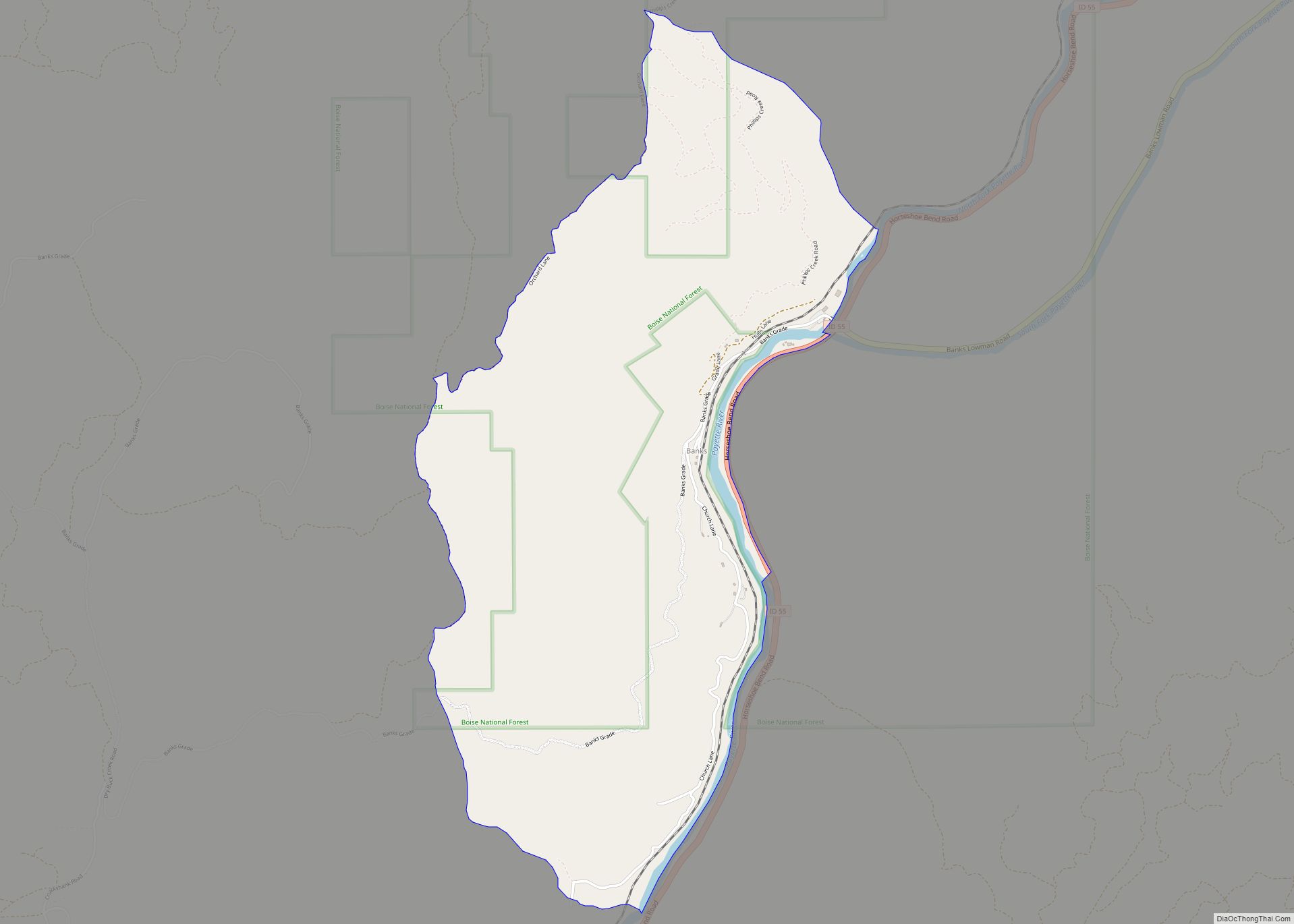
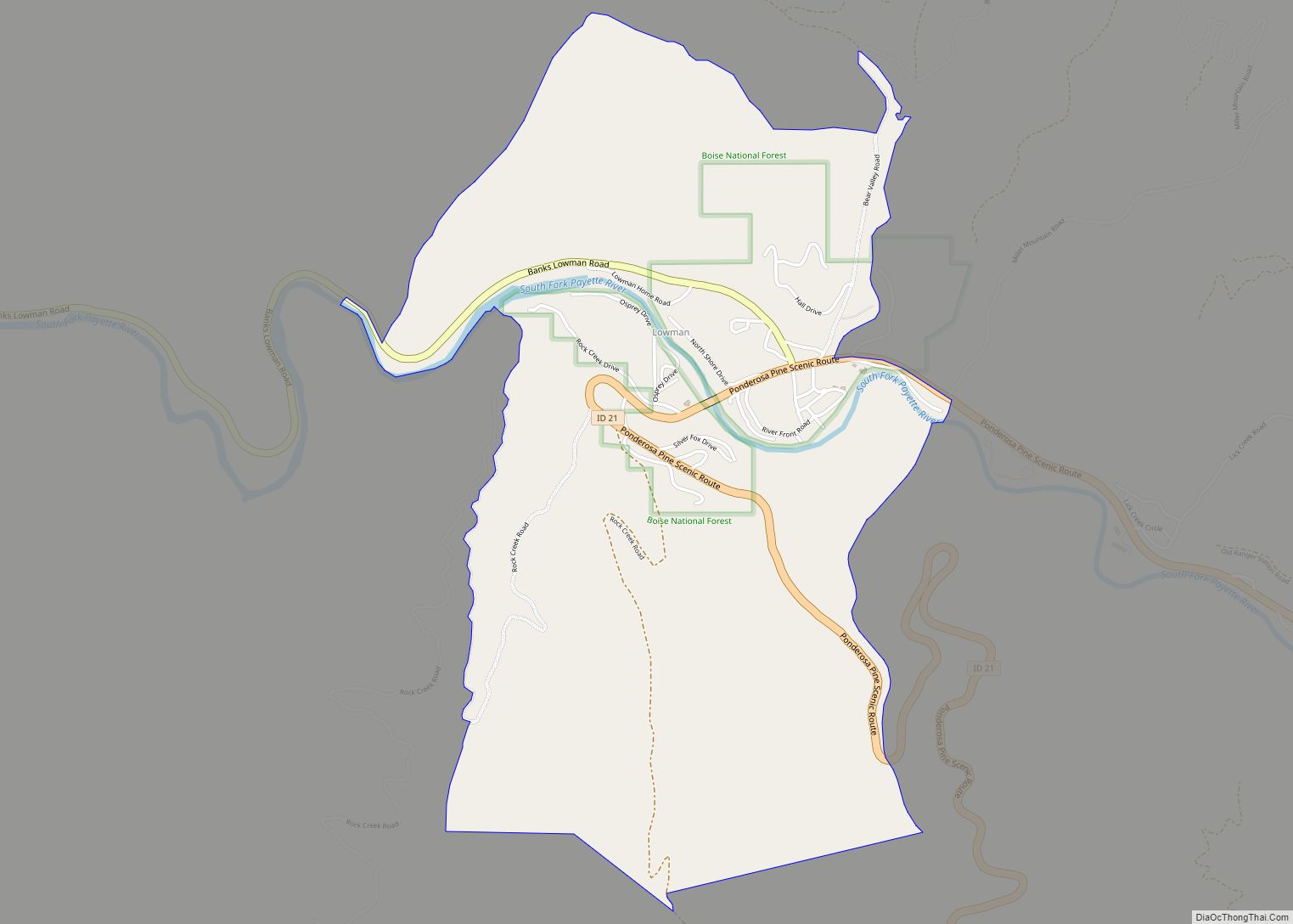
Banks is an unincorporated census-designated place in Boise County, Idaho, United States. Banks is located on Idaho State Highway 55 12 miles (19 km) north-northeast of Horseshoe Bend. Banks has a post office with ZIP code 83602. As of the 2010 census, its population was 17.
The North and South forks of the Payette River meet at Banks, which makes it a popular destination for people rafting or kayaking on the Payette River. The “Main” run of the Payette River begins at Banks, while the “Staircase” run on the South Fork ends at Banks.
| Name: | Banks CDP |
|---|---|
| LSAD Code: | 57 |
| LSAD Description: | CDP (suffix) |
| State: | Idaho |
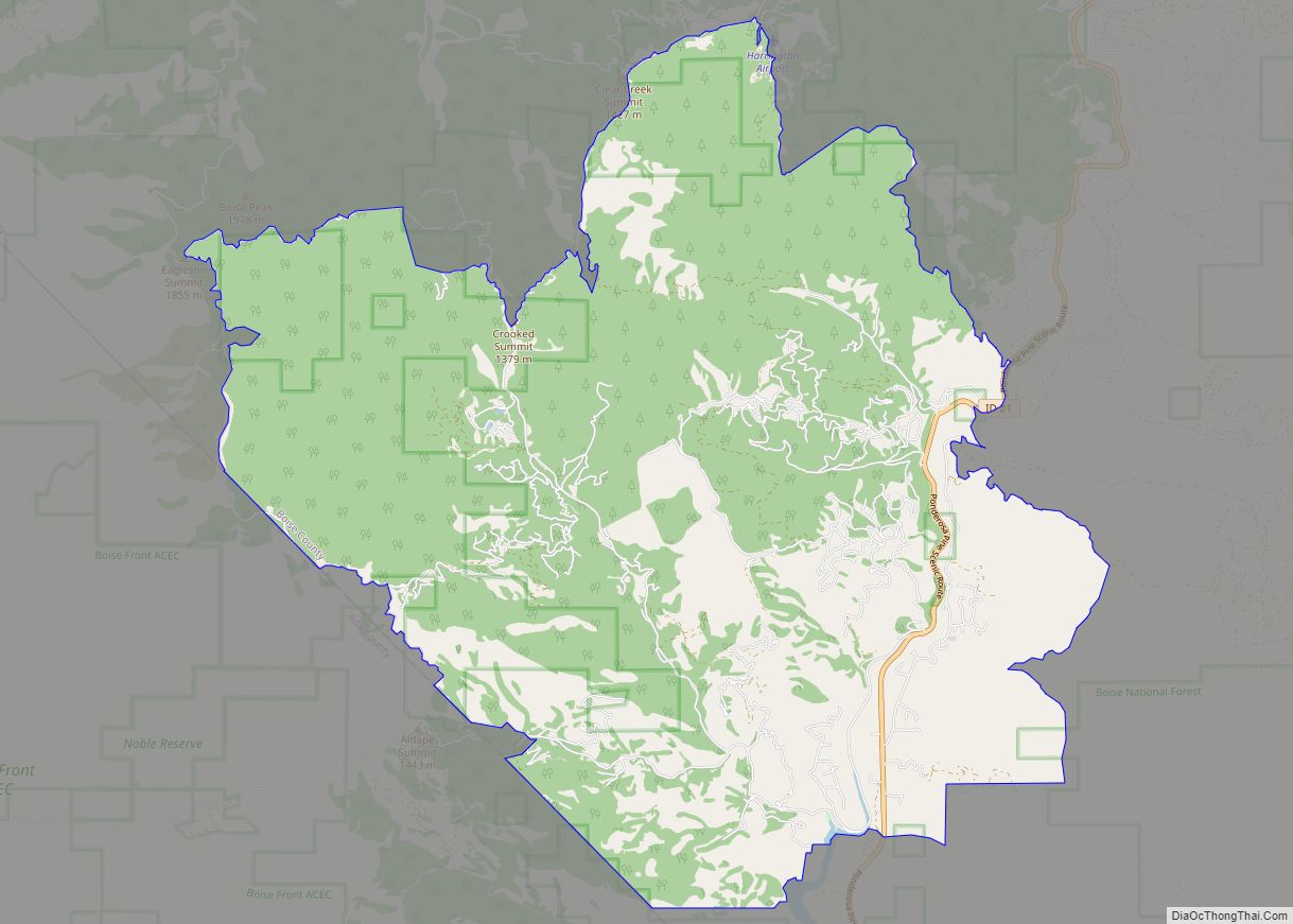
| County: | Boise County |
| Elevation: | 2,881 ft (878 m) |
| Total Area: | 2.249 sq mi (5.82 km²) |
| Land Area: | 2.209 sq mi (5.72 km²) |
| Water Area: | 0.040 sq mi (0.10 km²) |
| Total Population: | 17 |
| Population Density: | 7.6/sq mi (2.9/km²) |
| ZIP code: | 83602 |
| FIPS code: | 1604600 |
| GNISfeature ID: | 396068 |
Online Interactive Map
Click on ![]() to view map in "full screen" mode.
to view map in "full screen" mode.
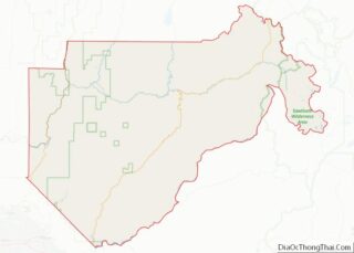
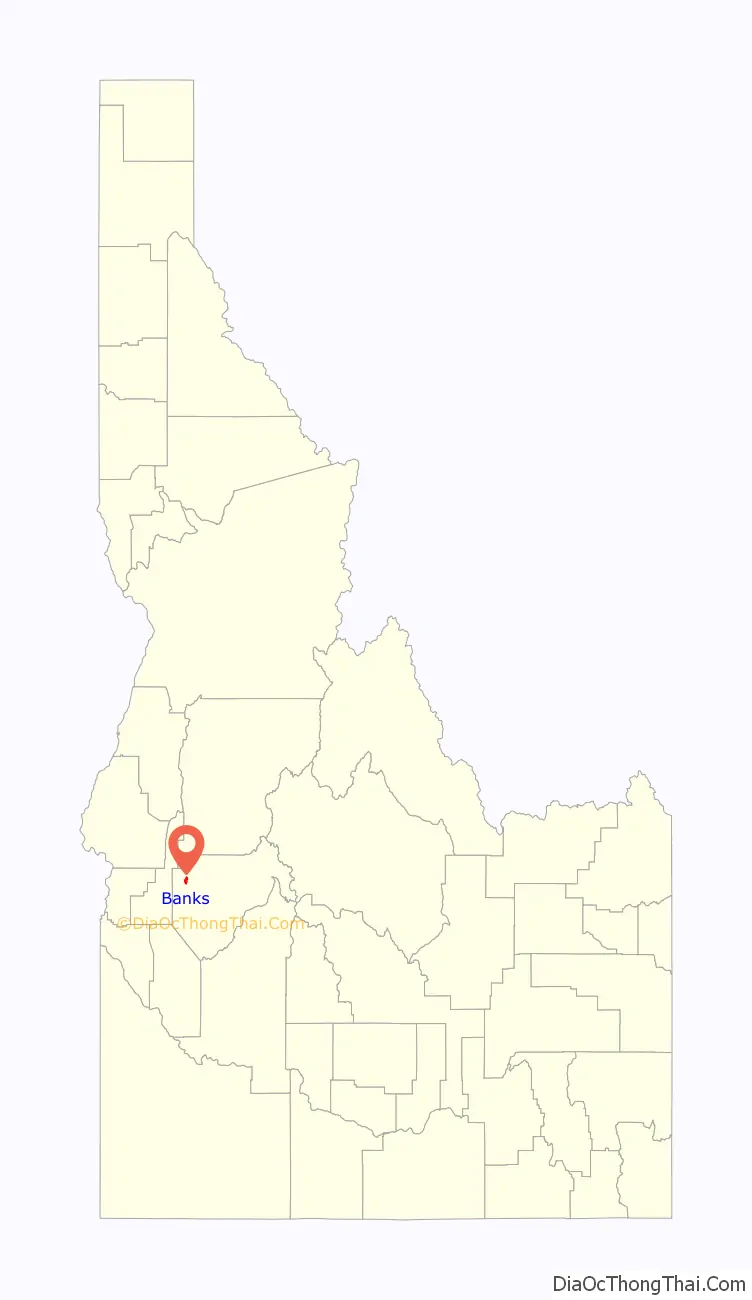
Banks location map. Where is Banks CDP?

History
Banks’ population was 50 in 1960.
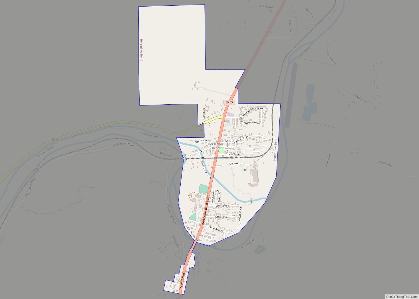
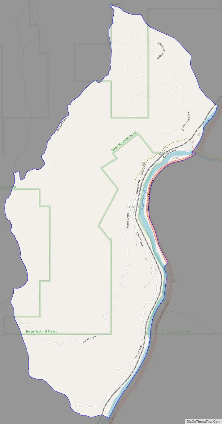
Banks Road Map
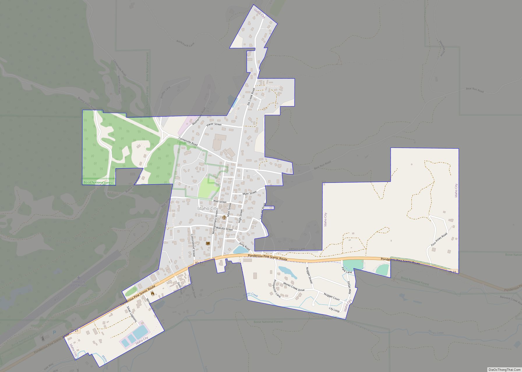
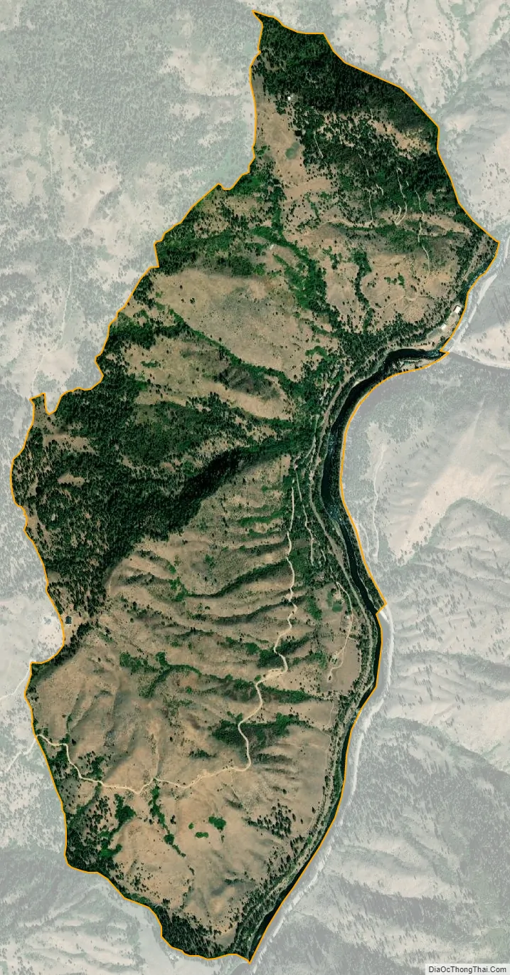
Banks city Satellite Map
See also
Map of Idaho State and its subdivision:- Ada
- Adams
- Bannock
- Bear Lake
- Benewah
- Bingham
- Blaine
- Boise
- Bonner
- Bonneville
- Boundary
- Butte
- Camas
- Canyon
- Caribou
- Cassia
- Clark
- Clearwater
- Custer
- Elmore
- Franklin
- Fremont
- Gem
- Gooding
- Idaho
- Jefferson
- Jerome
- Kootenai
- Latah
- Lemhi
- Lewis
- Lincoln
- Madison
- Minidoka
- Nez Perce
- Oneida
- Owyhee
- Payette
- Power
- Shoshone
- Teton
- Twin Falls
- Valley
- Washington
- Alabama
- Alaska
- Arizona
- Arkansas
- California
- Colorado
- Connecticut
- Delaware
- District of Columbia
- Florida
- Georgia
- Hawaii
- Idaho
- Illinois
- Indiana
- Iowa
- Kansas
- Kentucky
- Louisiana
- Maine
- Maryland
- Massachusetts
- Michigan
- Minnesota
- Mississippi
- Missouri
- Montana
- Nebraska
- Nevada
- New Hampshire
- New Jersey
- New Mexico
- New York
- North Carolina
- North Dakota
- Ohio
- Oklahoma
- Oregon
- Pennsylvania
- Rhode Island
- South Carolina
- South Dakota
- Tennessee
- Texas
- Utah
- Vermont
- Virginia
- Washington
- West Virginia
- Wisconsin
- Wyoming