Map of Worley city

Map of Worley city

Worley is a city in southwestern Kootenai County, Idaho, United States. The population was 257 at the 2010 census, up from 223 in 2000. The city is within the Coeur d’Alene Indian Reservation. Worley city overview: Name: Worley city LSAD Code: 25 LSAD Description: city (suffix) State: Idaho County: Kootenai County Elevation: 2,661 ft (811 m) Total … Read more

Map of Winchester city, Idaho

Map of Winchester city, Idaho

Winchester is a city in western Lewis County, Idaho, United States, located on the Camas Prairie in the north central part of the state. The population was 356 at the 2020 census, up from 340 in 2010. Winchester city overview: Name: Winchester city LSAD Code: 25 LSAD Description: city (suffix) State: Idaho County: Lewis County … Read more

Map of Wilder city

Map of Wilder city, Idaho

Wilder is a city in Canyon County, Idaho, United States. The population was 1,533 at the 2010 census. Wilder is part of the Boise City–Nampa, Idaho Metropolitan Statistical Area. Wilder city overview: Name: Wilder city LSAD Code: 25 LSAD Description: city (suffix) State: Idaho County: Canyon County Elevation: 2,428 ft (740 m) Total Area: 0.72 sq mi (1.88 km²) Land … Read more

Map of White Bird city

Map of White Bird city

White Bird is a city in Idaho County, Idaho. The population was 91 at the time of the 2010 census, down from 106 in 2000. White Bird city overview: Name: White Bird city LSAD Code: 25 LSAD Description: city (suffix) State: Idaho County: Idaho County Elevation: 1,581 ft (482 m) Total Area: 0.07 sq mi (0.17 km²) Land Area: 0.07 sq mi … Read more

Map of Weston city, Idaho

Map of Weston city, Idaho

Weston is a city in Franklin County, Idaho, United States. The population was 437 at the 2010 census. It is part of the Logan, Utah-Idaho Metropolitan Statistical Area. It was first settled in 1865. The community was so named on account of its location at the west bank of the Bear River. Weston city overview: … Read more

Map of Wendell city

Map of Wendell city, Idaho

Wendell is a city in southern Gooding County, Idaho, United States. The population was 2,782 at the 2010 census. Wendell city overview: Name: Wendell city LSAD Code: 25 LSAD Description: city (suffix) State: Idaho County: Gooding County Elevation: 3,432 ft (1,046 m) Total Area: 1.41 sq mi (3.65 km²) Land Area: 1.41 sq mi (3.64 km²) Water Area: 0.00 sq mi (0.01 km²) Total Population: 2,782 … Read more

Map of Weiser city

Map of Weiser city

Weiser (/ˈwiːzər/ WEE-zər) is a city in the rural western part of the U.S. state of Idaho and the county seat of Washington County. With its mild climate, the city supports farm, orchard, and livestock endeavors in the vicinity. The city sits at the confluence of the Weiser River with the great Snake River, which … Read more

Map of Weippe city

Map of Weippe city

Weippe (/ˈwiːˈaɪp/ (listen)) is a city in Clearwater County, Idaho, United States. The population was 441 at the 2010 census, up from 411 in 2000. In September 1805, the starving Lewis and Clark Expedition first met the Nez Perce on the Weippe Prairie, south of the city. Weippe city overview: Name: Weippe city LSAD Code: … Read more

Map of Warm River city

Map of Warm River city

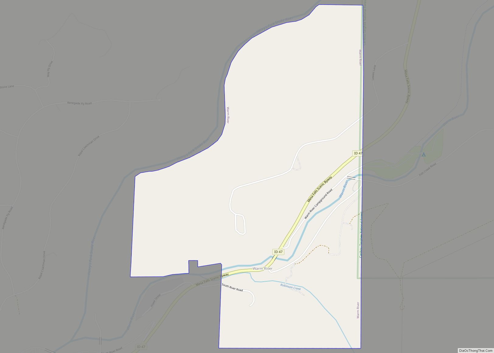
Warm River is a city in Fremont County, Idaho, United States. The population was 3 at the 2010 census, making it the least populous city in Idaho. It is part of the Rexburg, Idaho Micropolitan Statistical Area. Warm River city overview: Name: Warm River city LSAD Code: 25 LSAD Description: city (suffix) State: Idaho County: … Read more

Map of Wardner city

Map of Wardner city

Wardner is a city in Shoshone County, Idaho, United States. Located in the Silver Valley mining region, the population was 188 at the 2010 census, down from 215 in 2000. Wardner city overview: Name: Wardner city LSAD Code: 25 LSAD Description: city (suffix) State: Idaho County: Shoshone County Elevation: 2,657 ft (810 m) Total Area: 0.87 sq mi (2.26 km²) … Read more

Map of Yellow Pine CDP

Map of Yellow Pine CDP

Yellow Pine is an unincorporated census-designated place in Valley County, Idaho. As of the 2010 census, its population was 32. Yellow Pine has an area of 0.995 square miles (2.58 km); 0.984 square miles (2.55 km) of this is land, and 0.011 square miles (0.028 km) is water. Yellow Pine CDP overview: Name: Yellow Pine CDP LSAD Code: … Read more