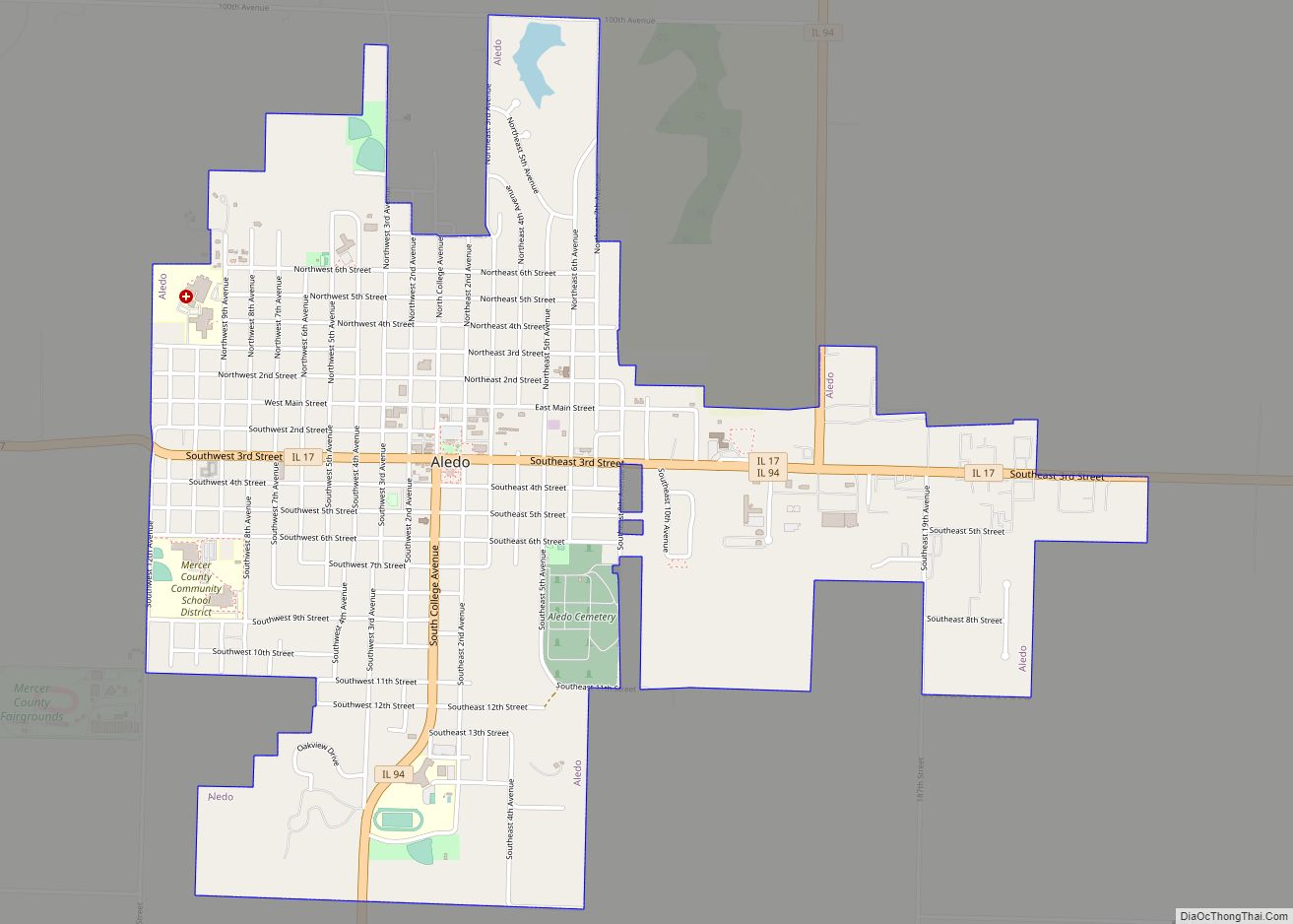
Map of Albers village
Albers is a village in Clinton County, Illinois, United States. The population was 1,121 at the 2020 census. Albers village overview: Name: Albers village LSAD Code: 47 LSAD Description: village (suffix) State: Illinois County: Clinton County Elevation: 440 ft (130 m) Total Area: 0.99 sq mi (2.57 km²) Land Area: 0.99 sq mi (2.57 km²) Water Area: 0.00 sq mi (0.00 km²) Total Population: 1,121 Population ... Read more
Map of Albers village
Map of Albany village, Illinois
Albany is a village in Whiteside County, Illinois, United States. The population was 891 at the 2010 census, down from 895 in 2000. Albany village overview: Name: Albany village LSAD Code: 47 LSAD Description: village (suffix) State: Illinois County: Whiteside County Total Area: 1.07 sq mi (2.77 km²) Land Area: 1.07 sq mi (2.77 km²) Water Area: 0.00 sq mi (0.00 km²) Total Population: ... Read more
Map of Albany village, Illinois
Map of Adeline village
Adeline is a village in Maryland Township, Ogle County, Illinois, United States, along the Leaf River. The population was 85 at the 2010 census, down from 139 in 2000. Adeline village overview: Name: Adeline village LSAD Code: 47 LSAD Description: village (suffix) State: Illinois County: Ogle County Elevation: 797 ft (243 m) Total Area: 0.27 sq mi (0.69 km²) Land ... Read more
Map of Adeline village
Map of Addison village, Illinois
Addison is a village located in the Chicago Metropolitan Area, in DuPage County, Illinois, United States. The population was 36,942 at the 2010 census. Addison village overview: Name: Addison village LSAD Code: 47 LSAD Description: village (suffix) State: Illinois County: DuPage County Incorporated: 1884 Elevation: 702 ft (214 m) Total Area: 10.00 sq mi (25.90 km²) Land Area: 9.83 sq mi (25.46 km²) ... Read more
Map of Addison village, Illinois
Map of Addieville village
Addieville is a village in Washington County, Illinois, United States. The population at the time of the 2010 census was 252. Addieville village overview: Name: Addieville village LSAD Code: 47 LSAD Description: village (suffix) State: Illinois County: Washington County Elevation: 469 ft (143 m) Total Area: 0.99 sq mi (2.57 km²) Land Area: 0.99 sq mi (2.57 km²) Water Area: 0.00 sq mi (0.00 km²) Total ... Read more
Map of Addieville village
Map of Alpha village, Illinois
Alpha is a village in Henry County, Illinois, United States. The population was 671 at the 2010 census, down from 726 in 2000. Alpha village overview: Name: Alpha village LSAD Code: 47 LSAD Description: village (suffix) State: Illinois County: Henry County Total Area: 0.31 sq mi (0.81 km²) Land Area: 0.31 sq mi (0.81 km²) Water Area: 0.00 sq mi (0.00 km²) Total Population: ... Read more
Map of Alpha village, Illinois
Map of Alorton village
Alorton (formerly Alcoa) was a village in St. Clair County, Illinois, United States. Incorporated in 1944, it was one of three municipalities that merged to form the city of Cahokia Heights on May 6, 2021; the other two were the village of Cahokia and the city of Centreville. Prior to merger, Alorton had a population ... Read more
Map of Alorton village
Map of Alma village, Illinois
Alma is a village in Marion County, Illinois, United States. The population was 318 at the 2020 census. Alma village overview: Name: Alma village LSAD Code: 47 LSAD Description: village (suffix) State: Illinois County: Marion County Elevation: 627 ft (191 m) Total Area: 1.13 sq mi (2.93 km²) Land Area: 1.13 sq mi (2.93 km²) Water Area: 0.00 sq mi (0.00 km²) Total Population: 318 Population ... Read more
Map of Alma village, Illinois
Map of Allerton village, Illinois
Allerton is a village in Sidell Township, Vermilion County, Illinois, United States. A small portion of the village extends into Champaign County. The population was 262 at the 2020 census. Allerton village overview: Name: Allerton village LSAD Code: 47 LSAD Description: village (suffix) State: Illinois County: Champaign County, Vermilion County Elevation: 699 ft (213 m) Total Area: ... Read more
Map of Allerton village, Illinois
Map of Allenville village, Illinois
Allenville is a village in Moultrie County, Illinois, United States. The population was 132 at the 2020 census. Allenville village overview: Name: Allenville village LSAD Code: 47 LSAD Description: village (suffix) State: Illinois County: Moultrie County Elevation: 640 ft (200 m) Total Area: 0.61 sq mi (1.58 km²) Land Area: 0.61 sq mi (1.58 km²) Water Area: 0.00 sq mi (0.00 km²) Total Population: 132 Population ... Read more
Map of Allenville village, Illinois
Map of Allendale village, Illinois
Allendale is a village in Wabash Precinct, Wabash County, Illinois. The population was 475 at the 2010 census. Allendale village overview: Name: Allendale village LSAD Code: 47 LSAD Description: village (suffix) State: Illinois County: Wabash County Elevation: 479 ft (146 m) Total Area: 0.31 sq mi (0.79 km²) Land Area: 0.31 sq mi (0.79 km²) Water Area: 0.00 sq mi (0.00 km²) Total Population: 458 Population ... Read more
Map of Allendale village, Illinois
Map of Alhambra village, Illinois
Alhambra is a village in Madison County, Illinois, United States. The population was 622 at the 2020 census. Alhambra is part of the Metro-East region of the St. Louis, MO-IL Metropolitan Statistical Area. Alhambra village overview: Name: Alhambra village LSAD Code: 47 LSAD Description: village (suffix) State: Illinois County: Madison County Elevation: 558 ft (170 m) Total ... Read more
Map of Alhambra village, Illinois