Allerton is a village in Sidell Township, Vermilion County, Illinois, United States. A small portion of the village extends into Champaign County. The population was 262 at the 2020 census.
| Name: | Allerton village |
|---|---|
| LSAD Code: | 47 |
| LSAD Description: | village (suffix) |
| State: | Illinois |
| County: | Champaign County, Vermilion County |
| Elevation: | 699 ft (213 m) |
| Total Area: | 0.68 sq mi (1.76 km²) |
| Land Area: | 0.68 sq mi (1.76 km²) |
| Water Area: | 0.00 sq mi (0.00 km²) |
| Total Population: | 262 |
| Population Density: | 385.86/sq mi (148.99/km²) |
| Area code: | 217 |
| FIPS code: | 1700880 |
Online Interactive Map
Click on ![]() to view map in "full screen" mode.
to view map in "full screen" mode.
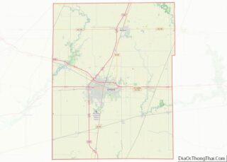
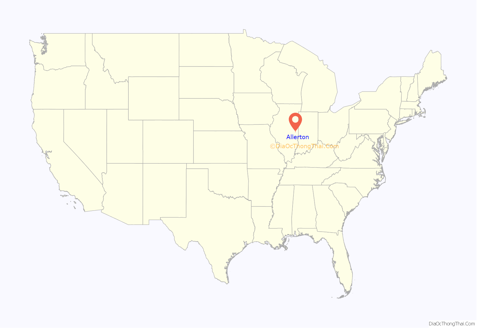
Allerton location map. Where is Allerton village?
History
Samuel W. Allerton was a wealthy landowner in Vermilion County who had made his fortune on the agricultural and livestock markets. He was one of the founders of the First National Bank of Chicago and Co-founder of the Chicago Union Stockyards. The town was founded on a 3,800-acre (15 km) tract of land in the southwestern part of the county which Allerton purchased in 1880. It had formerly been known as Twin Grove Farm (because of two very similar 100-acre (0.40 km) groves of trees in the area). When the C&EI railroad came through the area, he gave them a right-of-way through his land, and then established a grain elevator and platted the village; later he provided land for a park, established a bank, provided funds for a new brick school in 1894, and installed a water system. Allerton himself continued to live in Chicago.
Samuel Allerton also owned 12,000 acres in Piatt County, part of which later became the Robert Allerton Park, farther west in the Monticello area; Robert was Samuel’s son who oversaw his father’s agricultural interests in Illinois. Samuel’s total land holdings included 78,000 acres across four Midwest states.
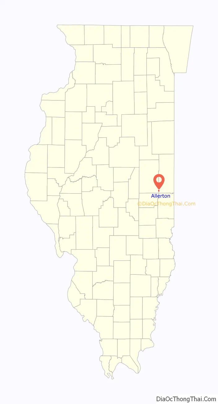
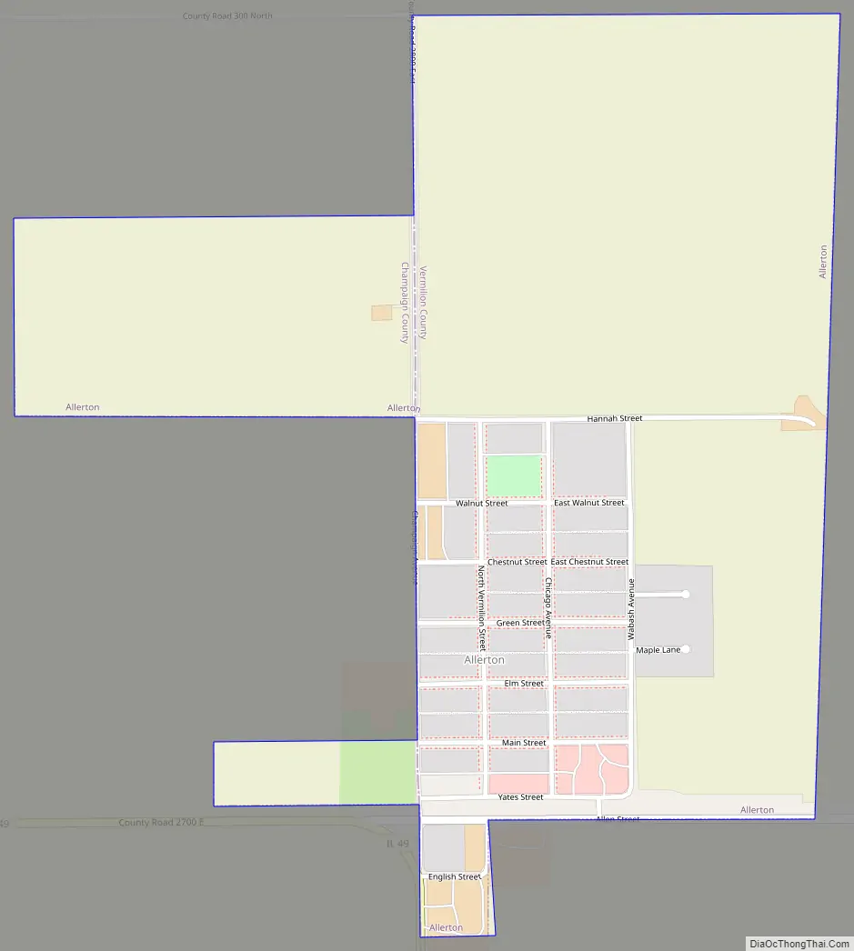
Allerton Road Map
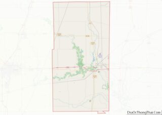
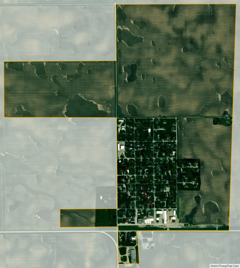
Allerton city Satellite Map
Geography
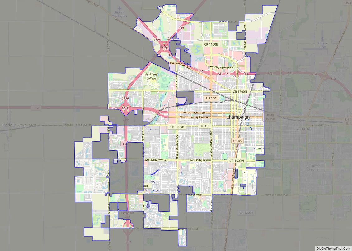
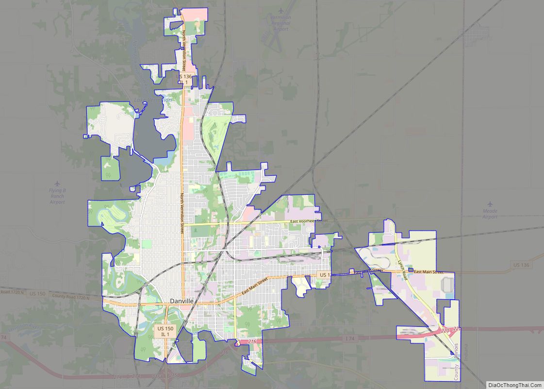
Allerton is located near the southwestern corner of Vermilion County and extends west into Champaign County in two places. Champaign-Urbana is about 30 miles (48 km) to the northwest, and Danville is the same distance to the northeast.
According to the 2021 census gazetteer files, Allerton has a total area of 0.68 square miles (1.76 km), all land. Allerton is located on the county line, and a small portion of is located in Champaign County, Illinois.
See also
Map of Illinois State and its subdivision:- Adams
- Alexander
- Bond
- Boone
- Brown
- Bureau
- Calhoun
- Carroll
- Cass
- Champaign
- Christian
- Clark
- Clay
- Clinton
- Coles
- Cook
- Crawford
- Cumberland
- De Kalb
- De Witt
- Douglas
- Dupage
- Edgar
- Edwards
- Effingham
- Fayette
- Ford
- Franklin
- Fulton
- Gallatin
- Greene
- Grundy
- Hamilton
- Hancock
- Hardin
- Henderson
- Henry
- Iroquois
- Jackson
- Jasper
- Jefferson
- Jersey
- Jo Daviess
- Johnson
- Kane
- Kankakee
- Kendall
- Knox
- La Salle
- Lake
- Lake Michigan
- Lawrence
- Lee
- Livingston
- Logan
- Macon
- Macoupin
- Madison
- Marion
- Marshall
- Mason
- Massac
- McDonough
- McHenry
- McLean
- Menard
- Mercer
- Monroe
- Montgomery
- Morgan
- Moultrie
- Ogle
- Peoria
- Perry
- Piatt
- Pike
- Pope
- Pulaski
- Putnam
- Randolph
- Richland
- Rock Island
- Saint Clair
- Saline
- Sangamon
- Schuyler
- Scott
- Shelby
- Stark
- Stephenson
- Tazewell
- Union
- Vermilion
- Wabash
- Warren
- Washington
- Wayne
- White
- Whiteside
- Will
- Williamson
- Winnebago
- Woodford
- Alabama
- Alaska
- Arizona
- Arkansas
- California
- Colorado
- Connecticut
- Delaware
- District of Columbia
- Florida
- Georgia
- Hawaii
- Idaho
- Illinois
- Indiana
- Iowa
- Kansas
- Kentucky
- Louisiana
- Maine
- Maryland
- Massachusetts
- Michigan
- Minnesota
- Mississippi
- Missouri
- Montana
- Nebraska
- Nevada
- New Hampshire
- New Jersey
- New Mexico
- New York
- North Carolina
- North Dakota
- Ohio
- Oklahoma
- Oregon
- Pennsylvania
- Rhode Island
- South Carolina
- South Dakota
- Tennessee
- Texas
- Utah
- Vermont
- Virginia
- Washington
- West Virginia
- Wisconsin
- Wyoming