Map of Dakota village

Map of Dakota village, Illinois

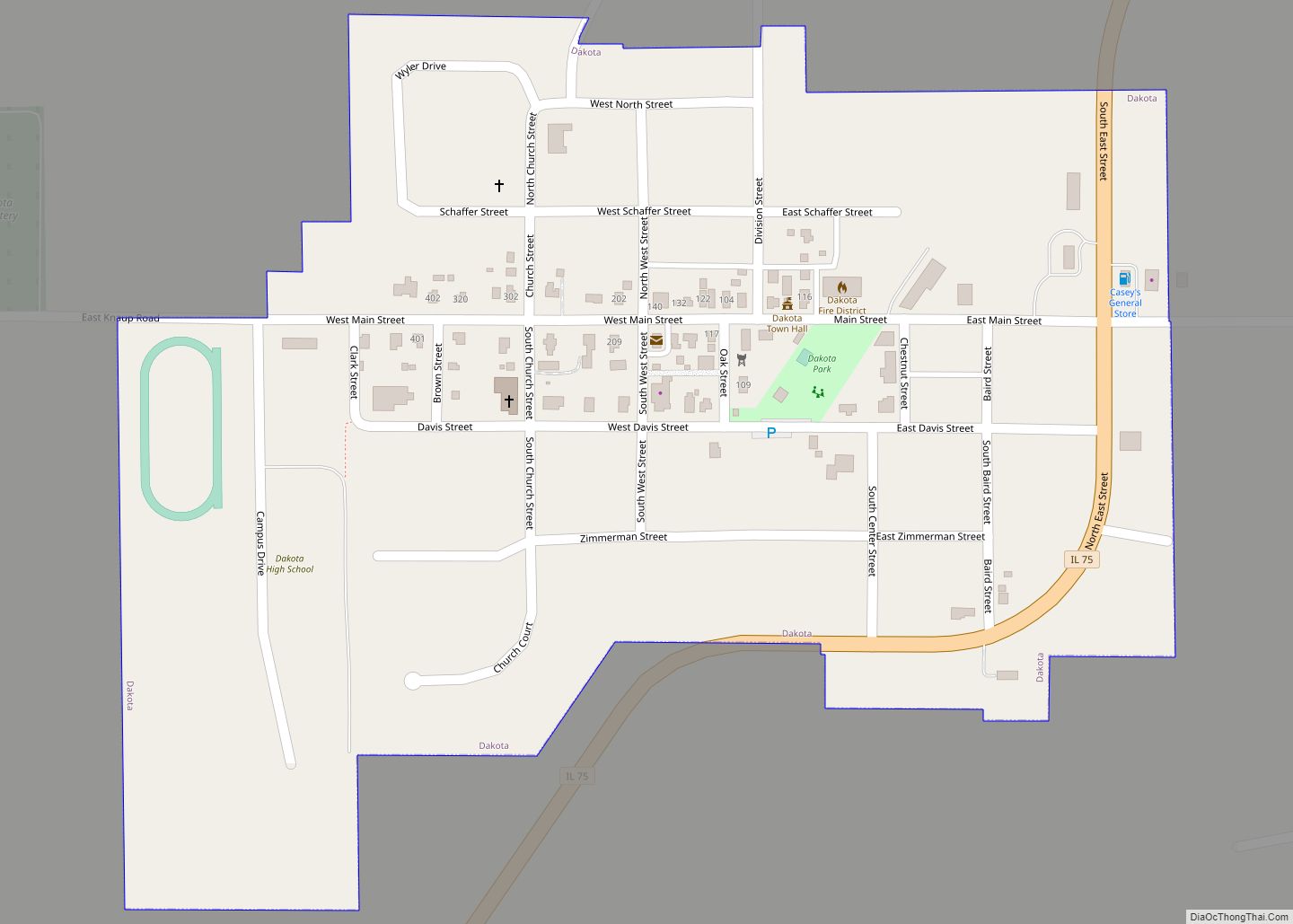
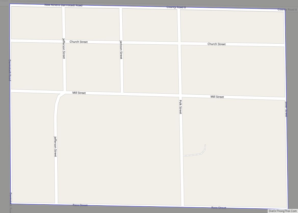
Dakota is an incorporated town in Stephenson County, Illinois. The population was 506 at the 2010 census, up from 499 in 2000. Dakota village overview: Name: Dakota village LSAD Code: 47 LSAD Description: village (suffix) State: Illinois County: Stephenson County Incorporated: March 11, 1869 (1869-03-11) Elevation: 945 ft (288 m) Total Area: 0.25 sq mi (0.64 km²) Land Area: 0.25 sq mi (0.64 km²) Water Area: … Read more

Map of Dalzell village

Map of Dalzell village, Illinois

Dalzell is a village in Bureau and LaSalle counties in the U.S. state of Illinois. The population was 663 at the 2020 census, down from 717 at the 2010 census. It is part of the Ottawa Micropolitan Statistical Area. Dalzell was founded on November 24, 1903 and certified on February 11, 1904. Dalzell village overview: … Read more

Map of Dalton City village

Map of Dalton City village

Dalton City is a village in Moultrie County, Illinois, United States. It is in the center of the state near the Macon County line. The population was 454 at the 2020 census, down from 544 in 2010. Dalton City village overview: Name: Dalton City village LSAD Code: 47 LSAD Description: village (suffix) State: Illinois County: … Read more

Map of Dana village, Illinois

Map of Dana village, Illinois

Dana is a village in LaSalle County, Illinois, United States. As of the 2010 census, the village had a total population of 159, down from 171 in 2000. It is part of the Ottawa Micropolitan Statistical Area, as well as a part of the geographic region known as Streatorland. Dana village overview: Name: Dana village … Read more

Map of Damiansville village

Map of Damiansville village

Damiansville is a village in Clinton County, Illinois, United States. The population was 564 at the 2020 census, up from 491 at the 2010 census. Damiansville village overview: Name: Damiansville village LSAD Code: 47 LSAD Description: village (suffix) State: Illinois County: Clinton County Elevation: 430 ft (130 m) Total Area: 0.82 sq mi (2.13 km²) Land Area: 0.82 sq mi (2.13 km²) Water … Read more

Map of Danforth village

Map of Danforth village

Danforth is a village in Danforth Township, Iroquois County, Illinois, United States. The population was 604 at the 2010 census. Danforth village overview: Name: Danforth village LSAD Code: 47 LSAD Description: village (suffix) State: Illinois County: Iroquois County Elevation: 653 ft (199 m) Total Area: 0.48 sq mi (1.24 km²) Land Area: 0.48 sq mi (1.24 km²) Water Area: 0.00 sq mi (0.00 km²) Total Population: … Read more

Map of Danvers village

Map of Danvers village, Illinois

Danvers is a village in McLean County, Illinois, United States. The population was 1,089 as of the 2020 census. It is part of the Bloomington–Normal Metropolitan Statistical Area. Danvers village overview: Name: Danvers village LSAD Code: 47 LSAD Description: village (suffix) State: Illinois County: McLean County Founded: 1836 Elevation: 807 ft (246 m) Total Area: 0.80 sq mi (2.08 km²) … Read more

Map of Darien city, Illinois

Map of Darien city, Illinois

Darien (formerly Cass) is a city in DuPage County, Illinois, United States. Per the 2020 census, the population was 22,011. A southwestern suburb of Chicago, Darien was named after the town of Darien, Connecticut. Darien is just north of I-55 and Historic U.S. Route 66 (now Frontage Road). The entire south edge of the town … Read more

Map of Danville city, Illinois

Map of Danville city, Illinois

Danville is a city in and the county seat of Vermilion County, Illinois. As of the 2010 census, its population was 33,027. As of 2019, the population was an estimated 30,479. Danville city overview: Name: Danville city LSAD Code: 25 LSAD Description: city (suffix) State: Illinois County: Vermilion County Founded: April 10, 1827 Elevation: 637 ft … Read more

Map of Davis Junction village

Map of Davis Junction village

Davis Junction is a village in Ogle County, Illinois, United States. The population was 2,512 at the 2020 census. Named for Jeremiah Davis, it is located where the Illinois Railway Rockford Line and the Canadian Pacific Railway (ex-Milwaukee Road/Soo Line Railroad) Chicago Subdivision intersect along Illinois Route 72. It is the site of the Orchard … Read more

Map of Darmstadt CDP

Map of Darmstadt CDP, Illinois

Darmstadt is a census-designated place in St. Clair County, Illinois, United States. Its population was 68 as of the 2010 census. Darmstadt CDP overview: Name: Darmstadt CDP LSAD Code: 57 LSAD Description: CDP (suffix) State: Illinois County: St. Clair County Elevation: 427 ft (130 m) Total Area: 0.07 sq mi (0.19 km²) Land Area: 0.07 sq mi (0.19 km²) Water Area: 0.00 sq mi (0.00 km²) … Read more

Map of Dawson village, Illinois

Map of Dawson village, Illinois

Dawson is a village in Sangamon County, Illinois, United States. The population was 519 at the 2020 census. It is about 10 miles (16 km) east of Springfield and is part of the Springfield Metropolitan Statistical Area. Dawson village overview: Name: Dawson village LSAD Code: 47 LSAD Description: village (suffix) State: Illinois County: Sangamon County Total … Read more