Davis is a village in Stephenson County, Illinois, United States. The population was 677 at the 2010 census, up from 662 in 2000. Davis village overview: Name: Davis village LSAD Code: 47 LSAD Description: village (suffix) State: Illinois County: Stephenson County Elevation: 889 ft (271 m) Total Area: 0.41 sq mi (1.05 km²) Land Area: 0.41 sq mi (1.05 km²) Water Area: 0.00 sq mi ... Read more
Illinois Cities and Places
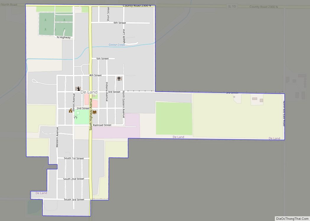
De Land is a village in Piatt County, Illinois, United States. The population was 446 at the 2010 census. The name of the village is spelled De Land by the census bureau. A few of the main shops are Casey’s General Store, Barnyard Treasures and Auction house, DeLand Farmer’s Grain Cooperative, and two antique shops. ... Read more
Dayton is a census-designated place in LaSalle County, Illinois, United States. The community was built along the Fox River a few miles north of Ottawa. As of the 2020 Census, its population was 528. A large share of the early settlers being natives of Dayton, Ohio caused the name to be selected. Dayton CDP overview: ... Read more
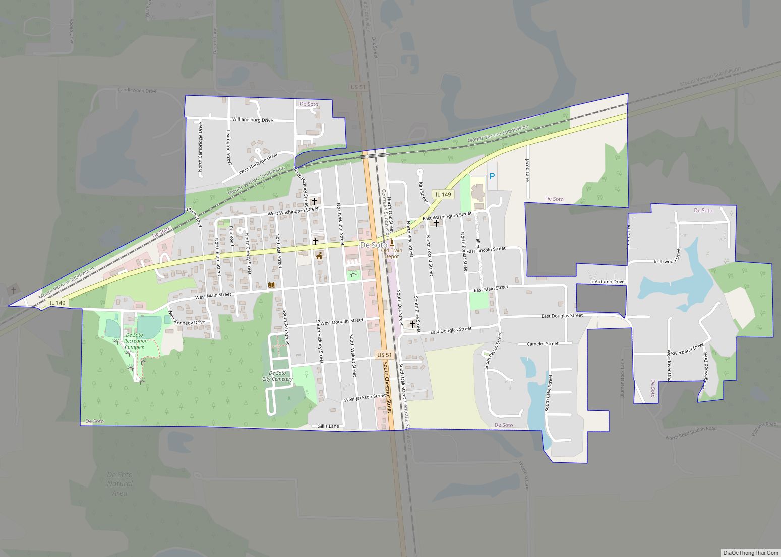
De Soto is a village in Jackson County, Illinois, United States. The population was 1,590 at the 2010 census, down from 1,653 at the 2000 census. It is named for Hernando de Soto, the discoverer of the Mississippi River. De Soto village overview: Name: De Soto village LSAD Code: 47 LSAD Description: village (suffix) State: ... Read more
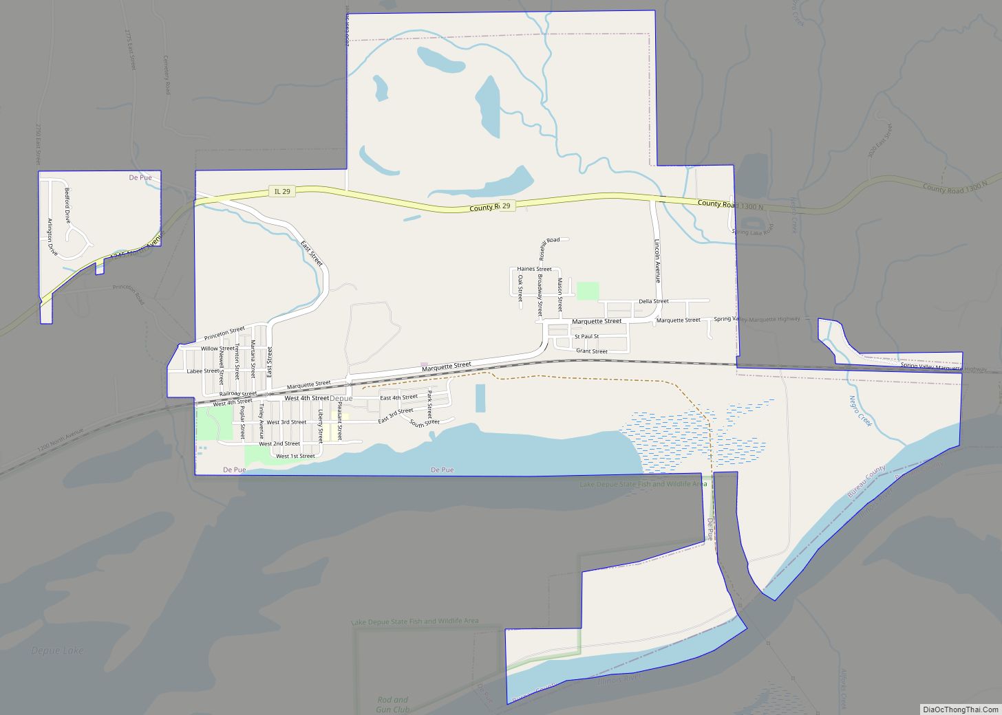
DePue is a village in Bureau County, Illinois, United States. The population was 1,633 at the 2020 census. It is part of the Ottawa Micropolitan Statistical Area. De Pue village overview: Name: De Pue village LSAD Code: 47 LSAD Description: village (suffix) State: Illinois County: Bureau County Total Area: 2.55 sq mi (6.61 km²) Land Area: 2.45 sq mi (6.34 km²) ... Read more
Decatur (/dɪˈkeɪtər/ dih-KAY-tər) is the largest city and the county seat of Macon County in the U.S. state of Illinois, with a population of 70,522 as of the 2020 Census. The city was founded in 1829 and is situated along the Sangamon River and Lake Decatur in Central Illinois. Decatur is the seventeenth-most populous city ... Read more
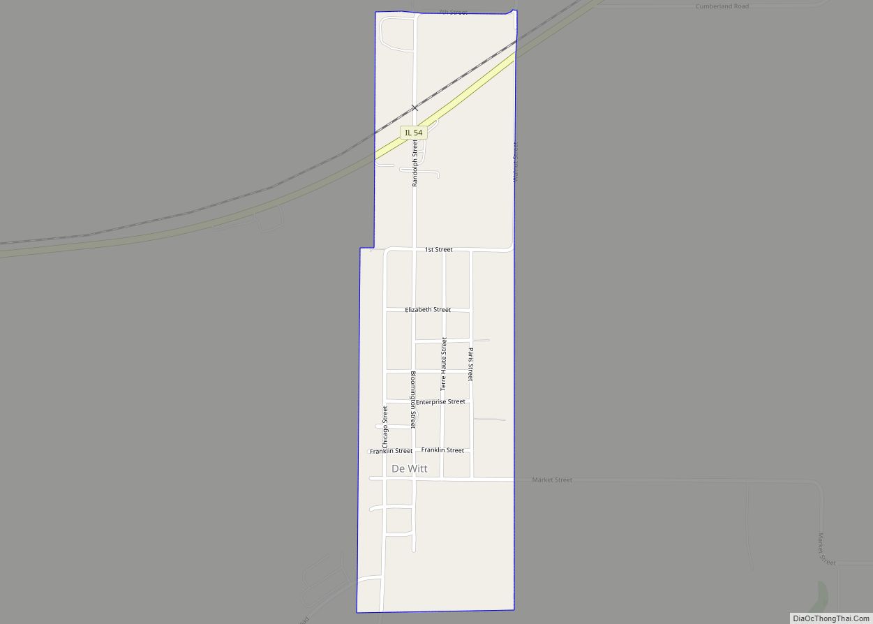
DeWitt is a village in DeWitt County, Illinois, United States. The population was 160 at the 2020 census. The U.S. Census Bureau and the USGS list the village’s name as De Witt, although the name DeWitt (no space) is used locally and by the U.S. Postal Service. De Witt village overview: Name: De Witt village LSAD ... Read more
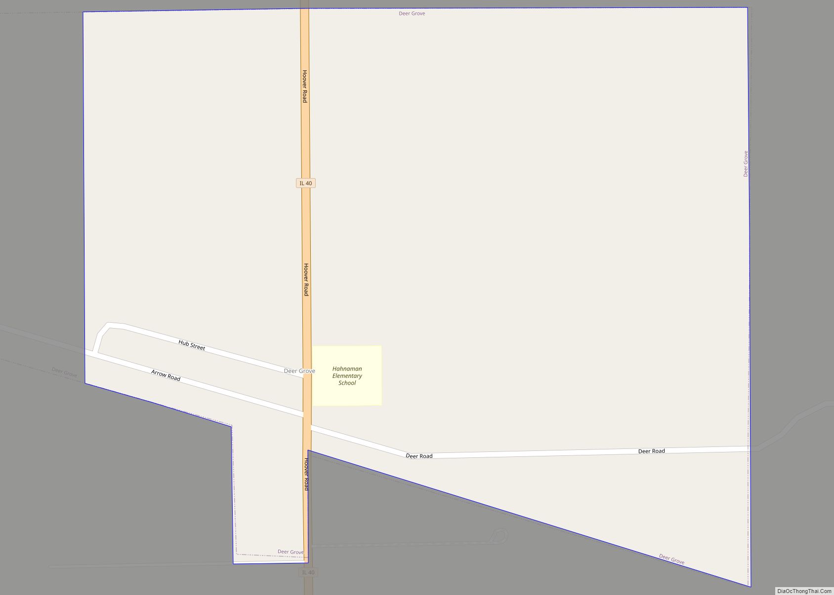
Deer Grove is a village in Whiteside County, Illinois, United States. The population was given as 45 in the 2010 census, down from 48 in 2000. Deer Grove village overview: Name: Deer Grove village LSAD Code: 47 LSAD Description: village (suffix) State: Illinois County: Whiteside County Total Area: 0.41 sq mi (1.07 km²) Land Area: 0.41 sq mi (1.07 km²) Water ... Read more
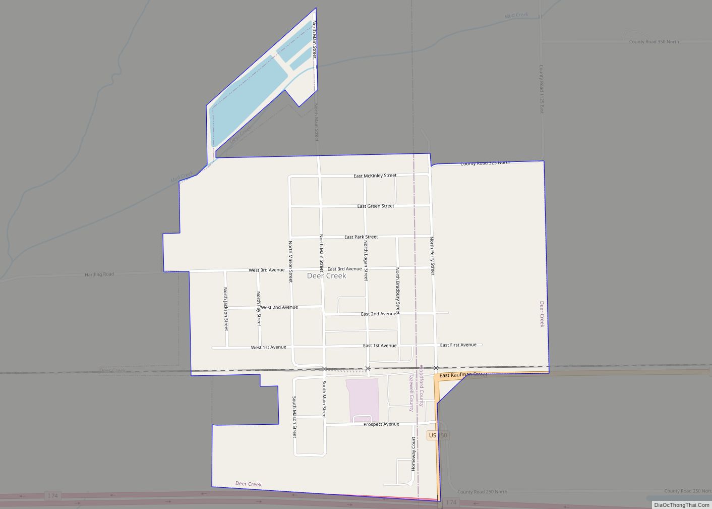
Deer Creek is a village in Tazewell and Woodford counties in the U.S. state of Illinois. The population was 667 at the 2020 census. Deer Creek is part of the Peoria, Illinois Metropolitan Statistical Area. Deer Creek village overview: Name: Deer Creek village LSAD Code: 47 LSAD Description: village (suffix) State: Illinois County: Tazewell County, ... Read more
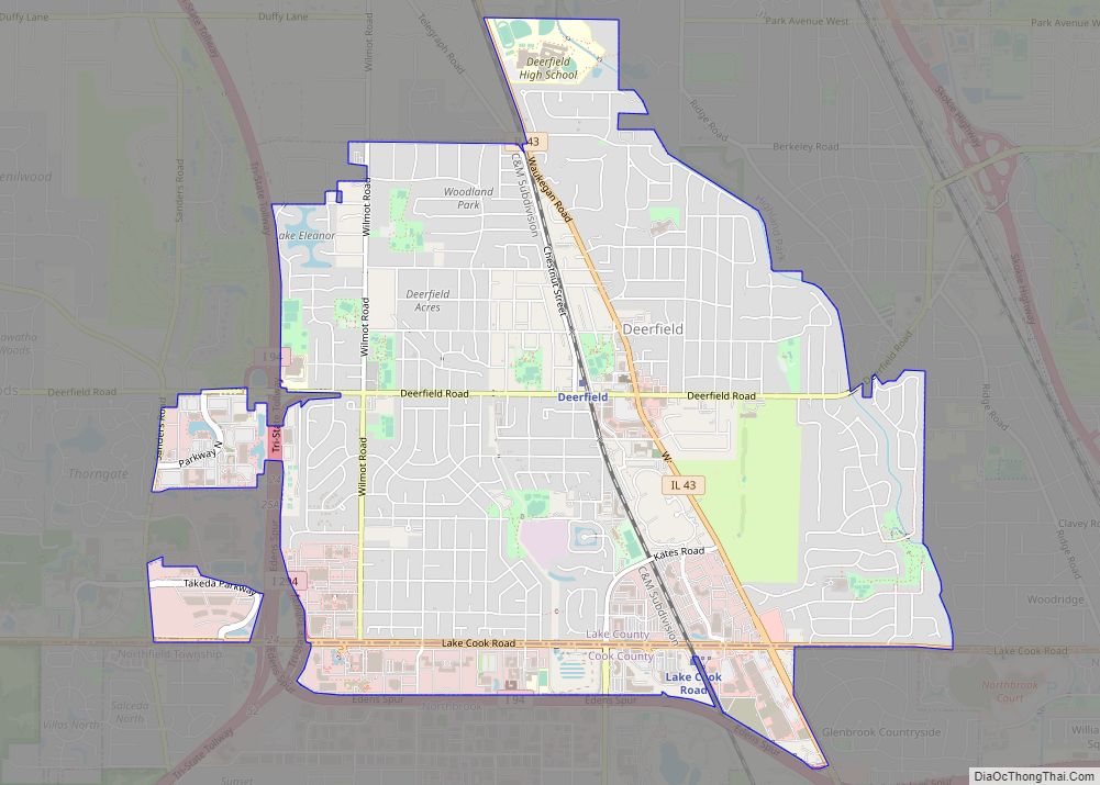
Deerfield is a north shore suburb of Chicago in Lake County, Illinois, United States, with a small portion extending into Cook County, Illinois. The population was 19,196 at the 2020 census. Deerfield is home to the headquarters of Walgreens Boots Alliance, Baxter Healthcare, and Fortune Brands Home & Security. Deerfield is often listed among some ... Read more
Deer Park is a village in Lake and Cook Counties, Illinois. Per the 2020 census, the population was 3,681. The village is one of the few left in the Chicago area that enjoy a green belt which is bordered by two large natural areas providing outdoor recreation and open space. The village is home to ... Read more
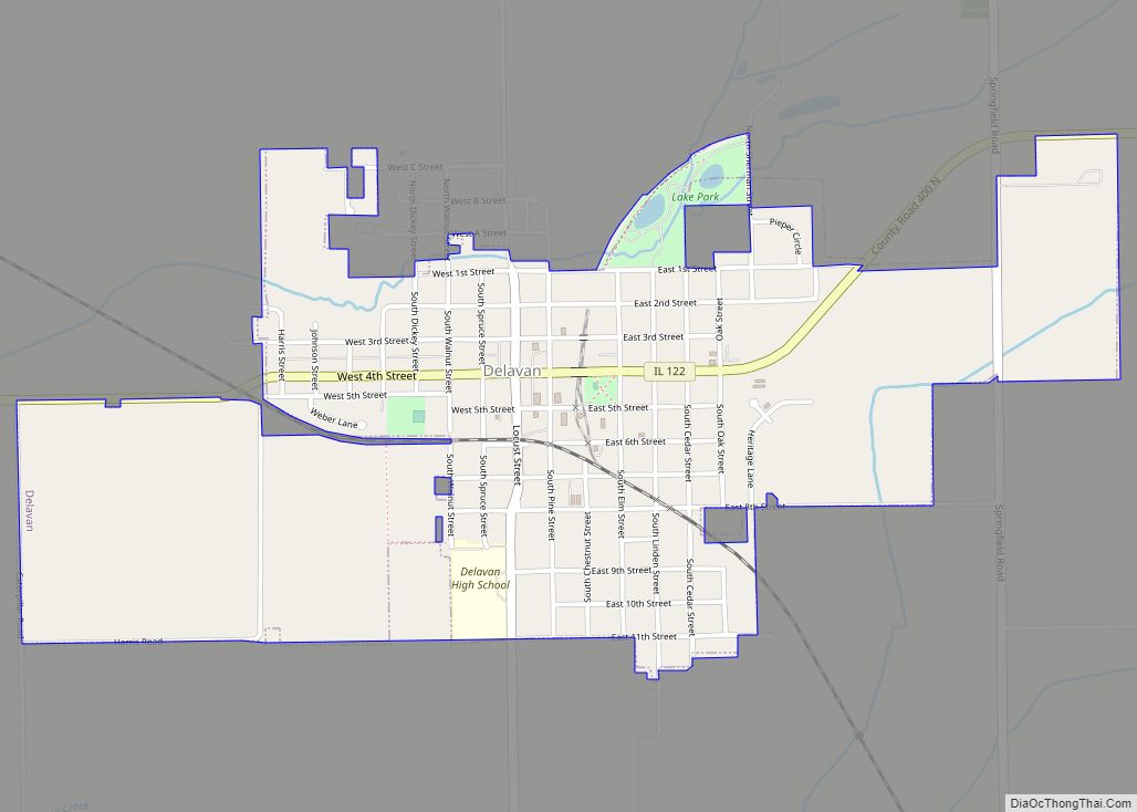
Delavan is a city in Tazewell County, Illinois, United States. Its population was 1,689 in the 2010 census. It is a part of the Peoria, Illinois Metropolitan Statistical Area. Delavan city overview: Name: Delavan city LSAD Code: 25 LSAD Description: city (suffix) State: Illinois County: Tazewell County Elevation: 604 ft (184 m) Total Area: 1.44 sq mi (3.74 km²) Land ... Read more

