De Soto is a village in Jackson County, Illinois, United States. The population was 1,590 at the 2010 census, down from 1,653 at the 2000 census. It is named for Hernando de Soto, the discoverer of the Mississippi River.
| Name: | De Soto village |
|---|---|
| LSAD Code: | 47 |
| LSAD Description: | village (suffix) |
| State: | Illinois |
| County: | Jackson County |
| Elevation: | 404 ft (123 m) |
| Total Area: | 0.92 sq mi (2.39 km²) |
| Land Area: | 0.91 sq mi (2.36 km²) |
| Water Area: | 0.01 sq mi (0.03 km²) |
| Total Population: | 1,407 |
| Population Density: | 1,542.76/sq mi (595.48/km²) |
| Area code: | 618 |
| FIPS code: | 1719616 |
| GNISfeature ID: | 2398695 |
| Website: | villageofdesoto.com |
Online Interactive Map
Click on ![]() to view map in "full screen" mode.
to view map in "full screen" mode.
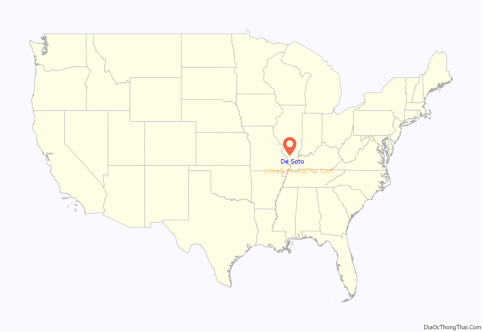
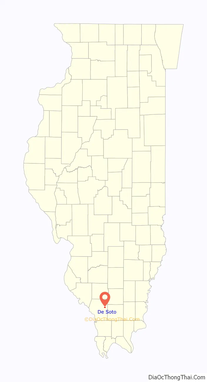
De Soto location map. Where is De Soto village?
History
De Soto was laid out in 1854 when the railroad was extended to that point. The village’s name honors Hernando de Soto (c. 1496/1497–1542), a Spanish conquistador who explored the region in 1541-2. A post office has been in operation at De Soto since 1855.
De Soto was largely destroyed by the Great Tri-State Tornado of 1925. Sixty-nine people died in De Soto when approximately 30% of the town was destroyed, and of this total 33 were children at a local school that collapsed from the winds. The tornado affected Missouri, Illinois, and Indiana, killing 695 and injuring over 2,000.
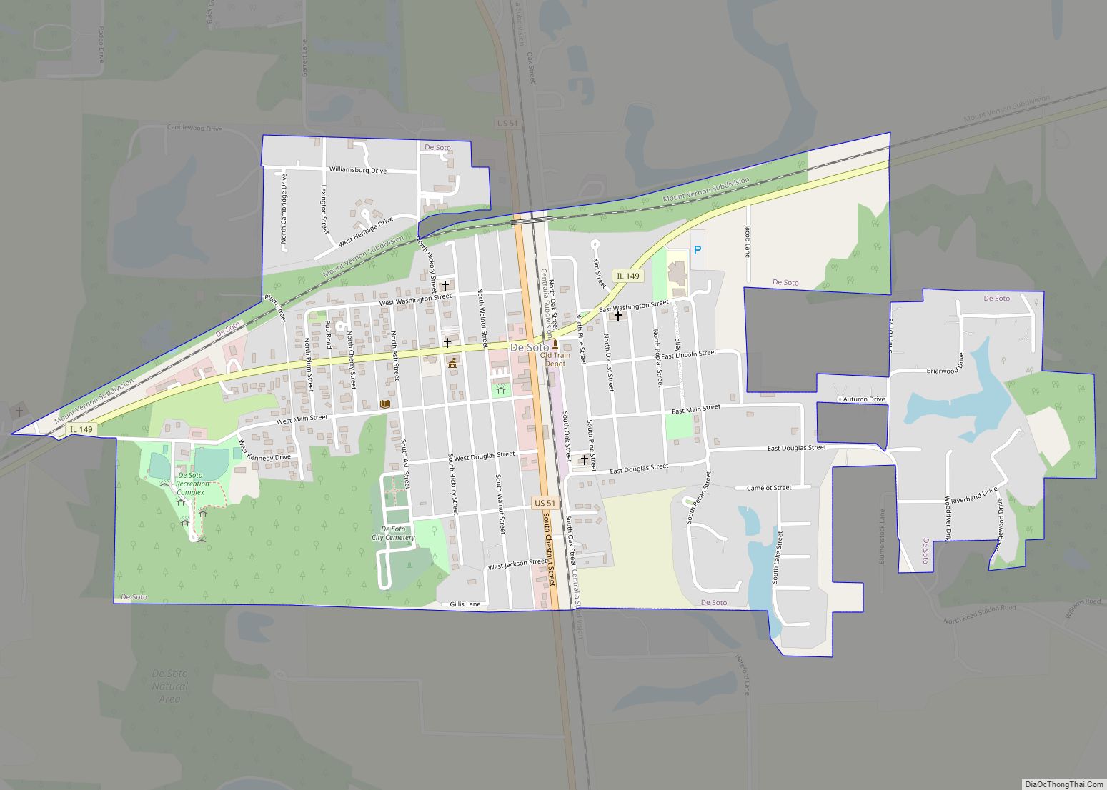
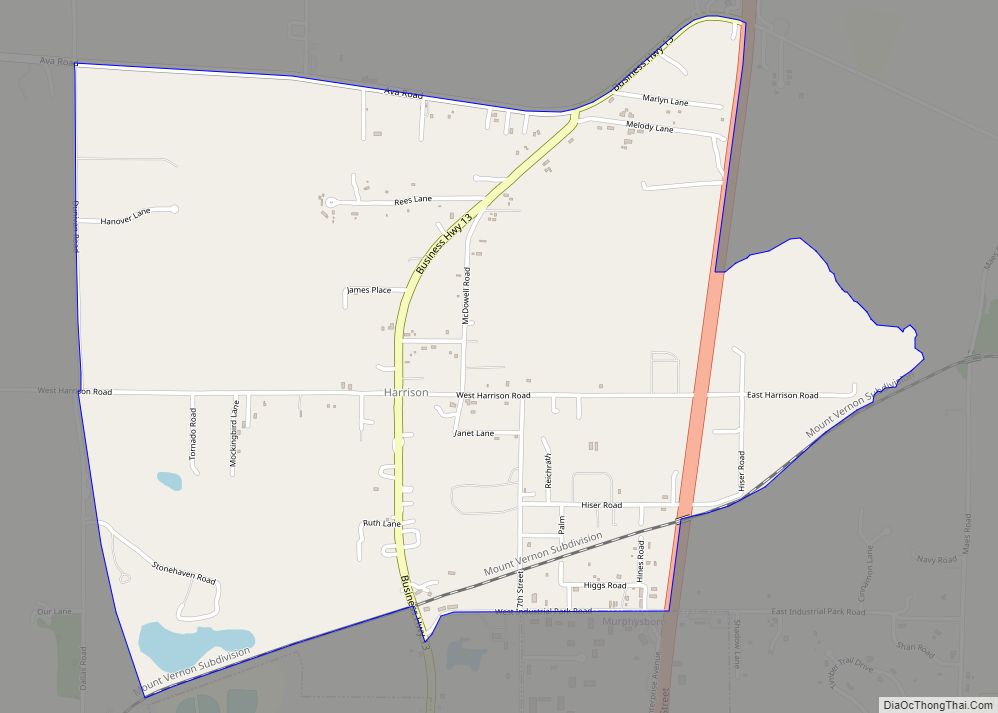
De Soto Road Map
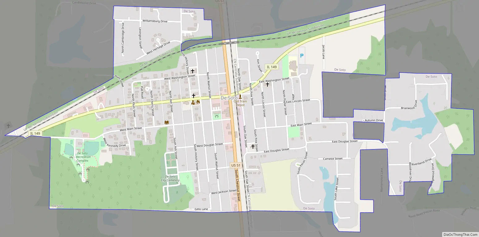
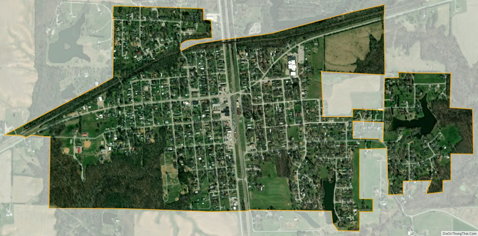
De Soto city Satellite Map
Geography
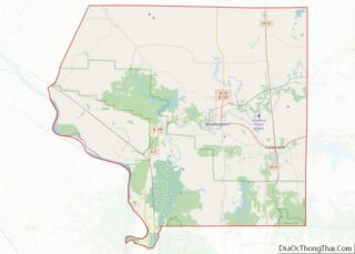
De Soto is located in northeastern Jackson County at 37°48′56″N 89°13′41″W / 37.815660°N 89.228184°W / 37.815660; -89.228184. U.S. Route 51 passes through the center of the village, leading north 13 miles (21 km) to Du Quoin and south 6 miles (10 km) to Carbondale. Illinois Route 149 crosses US-51 in the village center, leading southwest 7 miles (11 km) to Murphysboro, the Jackson county seat, and east 5 miles (8 km) to Hurst.
According to the 2010 census, De Soto has a total area of 0.922 square miles (2.39 km), of which 0.91 square miles (2.36 km) (or 98.7%) is land and 0.012 square miles (0.03 km) (or 1.3%) is water. The Big Muddy River, a tributary of the Mississippi River, flows to the east and south of the village limits.
See also
Map of Illinois State and its subdivision:- Adams
- Alexander
- Bond
- Boone
- Brown
- Bureau
- Calhoun
- Carroll
- Cass
- Champaign
- Christian
- Clark
- Clay
- Clinton
- Coles
- Cook
- Crawford
- Cumberland
- De Kalb
- De Witt
- Douglas
- Dupage
- Edgar
- Edwards
- Effingham
- Fayette
- Ford
- Franklin
- Fulton
- Gallatin
- Greene
- Grundy
- Hamilton
- Hancock
- Hardin
- Henderson
- Henry
- Iroquois
- Jackson
- Jasper
- Jefferson
- Jersey
- Jo Daviess
- Johnson
- Kane
- Kankakee
- Kendall
- Knox
- La Salle
- Lake
- Lake Michigan
- Lawrence
- Lee
- Livingston
- Logan
- Macon
- Macoupin
- Madison
- Marion
- Marshall
- Mason
- Massac
- McDonough
- McHenry
- McLean
- Menard
- Mercer
- Monroe
- Montgomery
- Morgan
- Moultrie
- Ogle
- Peoria
- Perry
- Piatt
- Pike
- Pope
- Pulaski
- Putnam
- Randolph
- Richland
- Rock Island
- Saint Clair
- Saline
- Sangamon
- Schuyler
- Scott
- Shelby
- Stark
- Stephenson
- Tazewell
- Union
- Vermilion
- Wabash
- Warren
- Washington
- Wayne
- White
- Whiteside
- Will
- Williamson
- Winnebago
- Woodford
- Alabama
- Alaska
- Arizona
- Arkansas
- California
- Colorado
- Connecticut
- Delaware
- District of Columbia
- Florida
- Georgia
- Hawaii
- Idaho
- Illinois
- Indiana
- Iowa
- Kansas
- Kentucky
- Louisiana
- Maine
- Maryland
- Massachusetts
- Michigan
- Minnesota
- Mississippi
- Missouri
- Montana
- Nebraska
- Nevada
- New Hampshire
- New Jersey
- New Mexico
- New York
- North Carolina
- North Dakota
- Ohio
- Oklahoma
- Oregon
- Pennsylvania
- Rhode Island
- South Carolina
- South Dakota
- Tennessee
- Texas
- Utah
- Vermont
- Virginia
- Washington
- West Virginia
- Wisconsin
- Wyoming