Map of Essex village, Illinois

Map of Essex village, Illinois

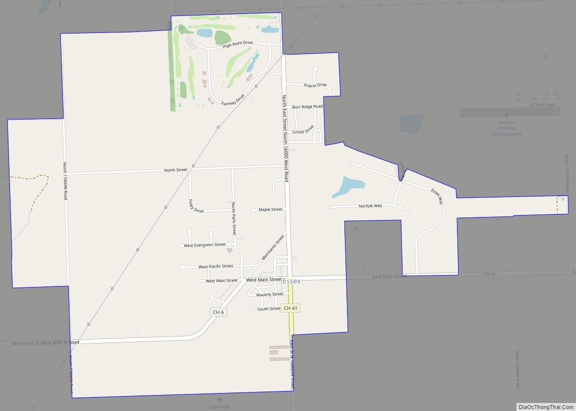
Essex is a village in Kankakee County, Illinois, United States. The population was 802 at the 2010 census, up from 554 at the 2000 census. It is included in the Kankakee–Bradley, Illinois Metropolitan Statistical Area. Essex village overview: Name: Essex village LSAD Code: 47 LSAD Description: village (suffix) State: Illinois County: Kankakee County Elevation: 589 ft … Read more

Map of Evansville village, Illinois

Map of Evansville village, Illinois

Evansville is a village in Randolph County, Illinois, United States. The population was 701 at the 2010 census. Evansville village overview: Name: Evansville village LSAD Code: 47 LSAD Description: village (suffix) State: Illinois County: Randolph County Total Area: 0.82 sq mi (2.11 km²) Land Area: 0.79 sq mi (2.04 km²) Water Area: 0.03 sq mi (0.07 km²) Total Population: 547 Population Density: 694.16/sq mi (267.89/km²) … Read more

Map of Evanston city

Map of Evanston city, Illinois

Evanston (/ˈɛvənstən/ EV-ən-stən) is a city in Cook County, Illinois, situated on the North Shore along Lake Michigan. A suburb of Chicago, Evanston is 12 miles (19 km) north of Downtown Chicago, bordered by Chicago to the south, Skokie to the west, Wilmette to the north, and Lake Michigan to the east. Evanston had a population … Read more

Map of Ewing village

Map of Ewing village, Illinois

Ewing is a village in Franklin County, Illinois, United States. The population was 307 at the 2010 census. Ewing village overview: Name: Ewing village LSAD Code: 47 LSAD Description: village (suffix) State: Illinois County: Franklin County Elevation: 472 ft (144 m) Total Area: 1.01 sq mi (2.62 km²) Land Area: 1.01 sq mi (2.61 km²) Water Area: 0.00 sq mi (0.00 km²) Total Population: 300 Population … Read more

Map of Evergreen Park village

Map of Evergreen Park village

Evergreen Park is a village in Cook County, Illinois, United States. In 2020, the population was 19,943. Evergreen Park village overview: Name: Evergreen Park village LSAD Code: 47 LSAD Description: village (suffix) State: Illinois County: Cook County Incorporated: 1893 Total Area: 3.16 sq mi (8.19 km²) Land Area: 3.16 sq mi (8.19 km²) Water Area: 0.00 sq mi (0.00 km²)  0% Total Population: 19,943 … Read more

Map of Fairbury city

Map of Fairbury city, Illinois

Fairbury is a city in Livingston County, Illinois, United States. The population was 3,757 at the 2010 census. Fairbury is located on U.S. Route 24 11 miles east of Chenoa and six miles west of Forrest. It was founded in 1857. The town has a large population of members of the Apostolic Christian faith, who … Read more

Map of Exeter village, Illinois

Map of Exeter village, Illinois

Exeter is a village in Scott County, Illinois, United States. The population was 70 at the 2000 census. It is part of the Jacksonville Micropolitan Statistical Area. Exeter village overview: Name: Exeter village LSAD Code: 47 LSAD Description: village (suffix) State: Illinois County: Scott County Elevation: 604 ft (184 m) Total Area: 0.69 sq mi (1.79 km²) Land Area: 0.69 sq mi … Read more

Map of Fairmont City village

Map of Fairmont City village

Fairmont City is a village in St. Clair and Madison counties, Illinois, United States. The population was 2,265 at the 2020 census, down from 2,635 in 2010. In the 1990s Fairmont City’s Hispanic population doubled, and as of 2020, over 79% of the population was of Hispanic descent. Fairmont City village overview: Name: Fairmont City … Read more

Map of Fairfield city, Illinois

Map of Fairfield city, Illinois

Fairfield is a city in and the county seat of Wayne County, Illinois, United States, and the location of Frontier Community College. The population was 4,883 at the 2020 census. Fairfield city overview: Name: Fairfield city LSAD Code: 25 LSAD Description: city (suffix) State: Illinois County: Wayne County Elevation: 459 ft (140 m) Total Area: 4.06 sq mi (10.52 km²) … Read more

Map of Fairmount village, Illinois

Map of Fairmount village, Illinois

Fairmount is a village in Vance Township, Vermilion County, Illinois, United States. It is part of the Danville, Illinois Metropolitan Statistical Area. The population was 642 at the 2010 census. Fairmount village overview: Name: Fairmount village LSAD Code: 47 LSAD Description: village (suffix) State: Illinois County: Vermilion County Incorporated: 1863 Elevation: 673 ft (205 m) Total Area: … Read more

Map of Fairmont CDP

Map of Fairmont CDP, Illinois

Fairmont is a census-designated place (CDP) in Will County, Illinois, United States. The population was 2,389 at the 2020 census. Fairmont CDP overview: Name: Fairmont CDP LSAD Code: 57 LSAD Description: CDP (suffix) State: Illinois County: Will County Total Area: 1.39 sq mi (3.60 km²) Land Area: 1.39 sq mi (3.60 km²) Water Area: 0.00 sq mi (0.00 km²) Total Population: 2,389 Population Density: … Read more

Map of Fairview village, Illinois

Map of Fairview village, Illinois

Fairview is a village in Fulton County, Illinois, United States. The population was 426 at the 2020 census. Fairview village overview: Name: Fairview village LSAD Code: 47 LSAD Description: village (suffix) State: Illinois County: Fulton County Elevation: 728 ft (222 m) Total Area: 4.29 sq mi (11.11 km²) Land Area: 4.21 sq mi (10.92 km²) Water Area: 0.07 sq mi (0.19 km²) Total Population: 426 Population … Read more