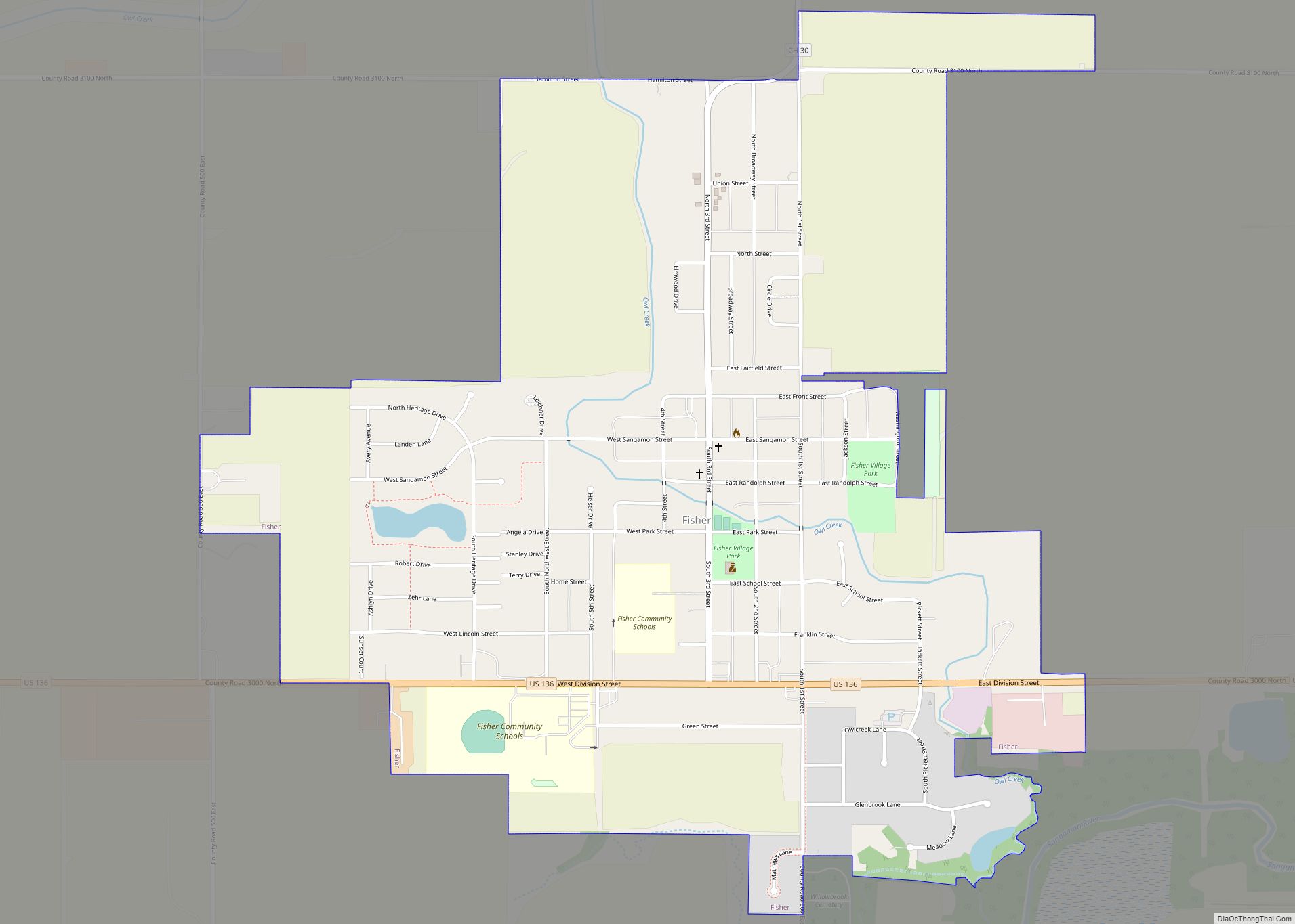
Fisher is a village in Champaign County, Illinois, United States, that was founded in 1875. The population was 1,881 at the 2010 census. Fisher village overview: Name: Fisher village LSAD Code: 47 LSAD Description: village (suffix) State: Illinois County: Champaign County Elevation: 722 ft (220 m) Total Area: 1.33 sq mi (3.44 km²) Land Area: 1.33 sq mi (3.44 km²) Water Area: 0.00 sq mi ... Read more
Illinois Cities and Places
Flat Rock is a village in Crawford County, Illinois, United States. The population was 323 at the 2020 census. Flat Rock village overview: Name: Flat Rock village LSAD Code: 47 LSAD Description: village (suffix) State: Illinois County: Crawford County Elevation: 499 ft (152 m) Total Area: 0.86 sq mi (2.22 km²) Land Area: 0.86 sq mi (2.22 km²) Water Area: 0.00 sq mi (0.00 km²) Total ... Read more
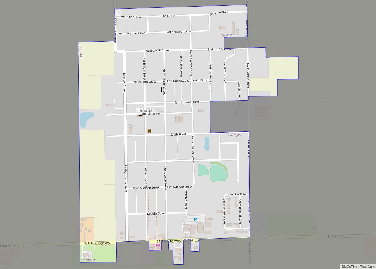
Flanagan is a village in Livingston County, Illinois, United States. The population was 1,110 at the 2010 census. Flanagan village overview: Name: Flanagan village LSAD Code: 47 LSAD Description: village (suffix) State: Illinois County: Livingston County Elevation: 670 ft (200 m) Total Area: 0.58 sq mi (1.49 km²) Land Area: 0.58 sq mi (1.49 km²) Water Area: 0.00 sq mi (0.00 km²) Total Population: 1,010 Population ... Read more
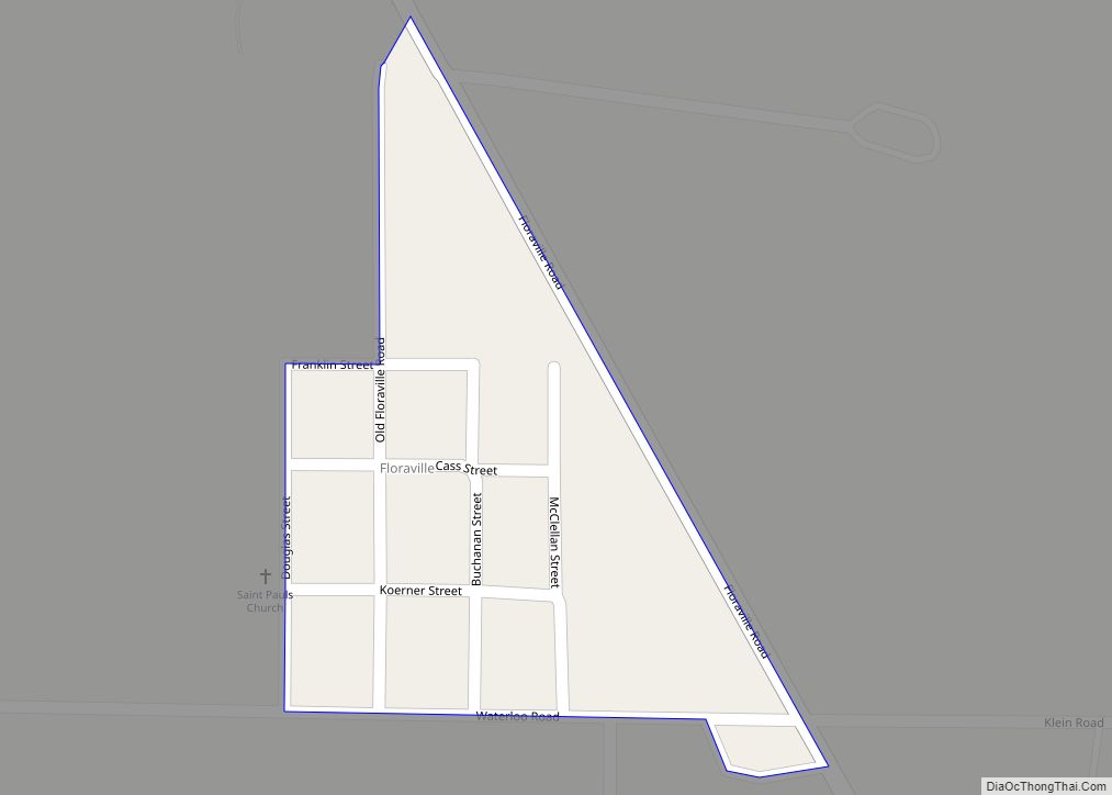
Floraville is a census-designated place in St. Clair County, Illinois, United States. Its population was 53 as of the 2010 census. Floraville CDP overview: Name: Floraville CDP LSAD Code: 57 LSAD Description: CDP (suffix) State: Illinois County: St. Clair County Elevation: 525 ft (160 m) Total Area: 0.08 sq mi (0.20 km²) Land Area: 0.08 sq mi (0.20 km²) Water Area: 0.00 sq mi (0.00 km²) ... Read more
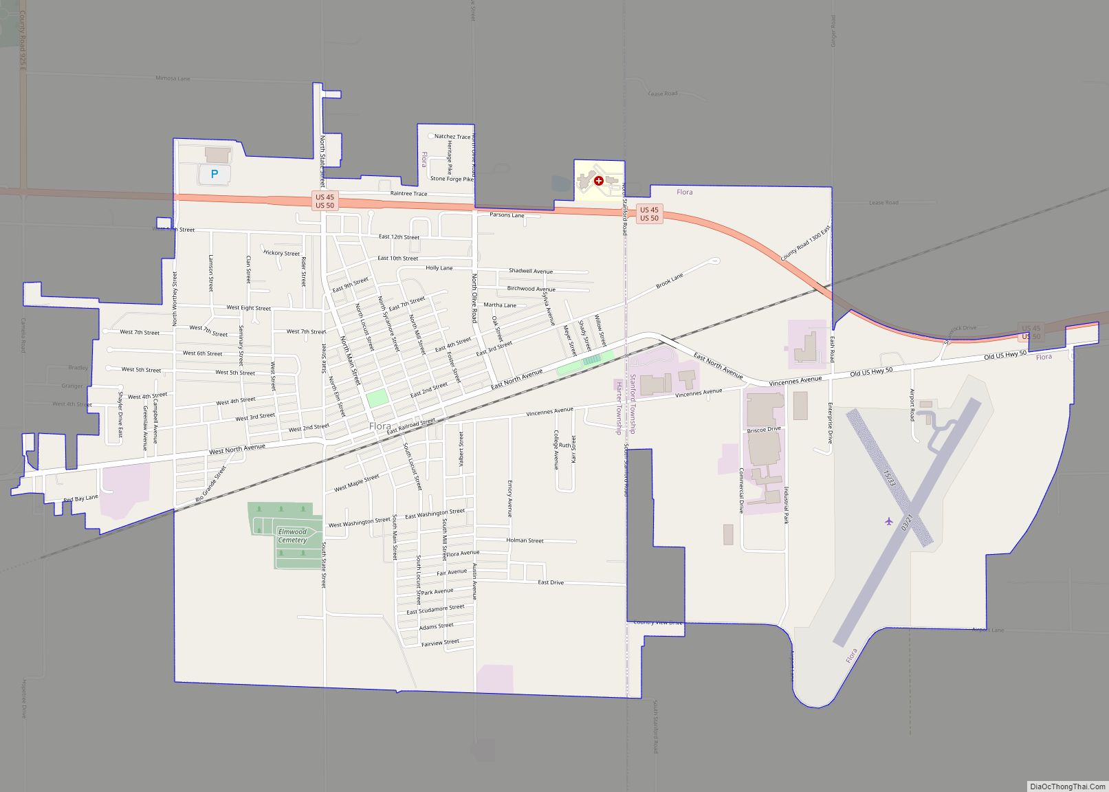
Flora is a city in Clay County, Illinois, United States. The population was 4,803 at the 2020 census. Flora city overview: Name: Flora city LSAD Code: 25 LSAD Description: city (suffix) State: Illinois County: Clay County Total Area: 4.69 sq mi (12.15 km²) Land Area: 4.69 sq mi (12.15 km²) Water Area: 0.00 sq mi (0.00 km²) Total Population: 4,803 Population Density: 1,024.09/sq mi (395.37/km²) ... Read more
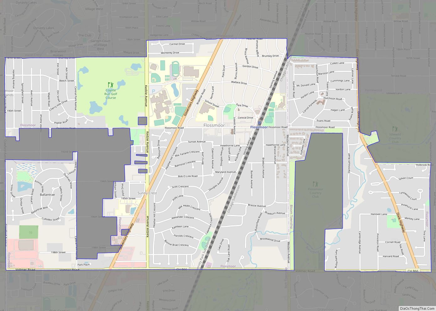
Flossmoor (/ˈflɒsmɔːr/) is a village in Cook County, Illinois, United States. The population was 9,704 at the 2020 census. Flossmoor is approximately 24 miles south of The Loop/Downtown Chicago. It is closely tied to neighboring Homewood, sharing a high school and park district. Flossmoor village overview: Name: Flossmoor village LSAD Code: 47 LSAD Description: village ... Read more
Florence is a village in Pike County, Illinois, United States. The population was 17 at the 2020 census, making Florence the second-least populated municipality in Illinois. Florence village overview: Name: Florence village LSAD Code: 47 LSAD Description: village (suffix) State: Illinois County: Pike County Elevation: 443 ft (135 m) Total Area: 0.36 sq mi (0.93 km²) Land Area: 0.28 sq mi (0.71 km²) ... Read more
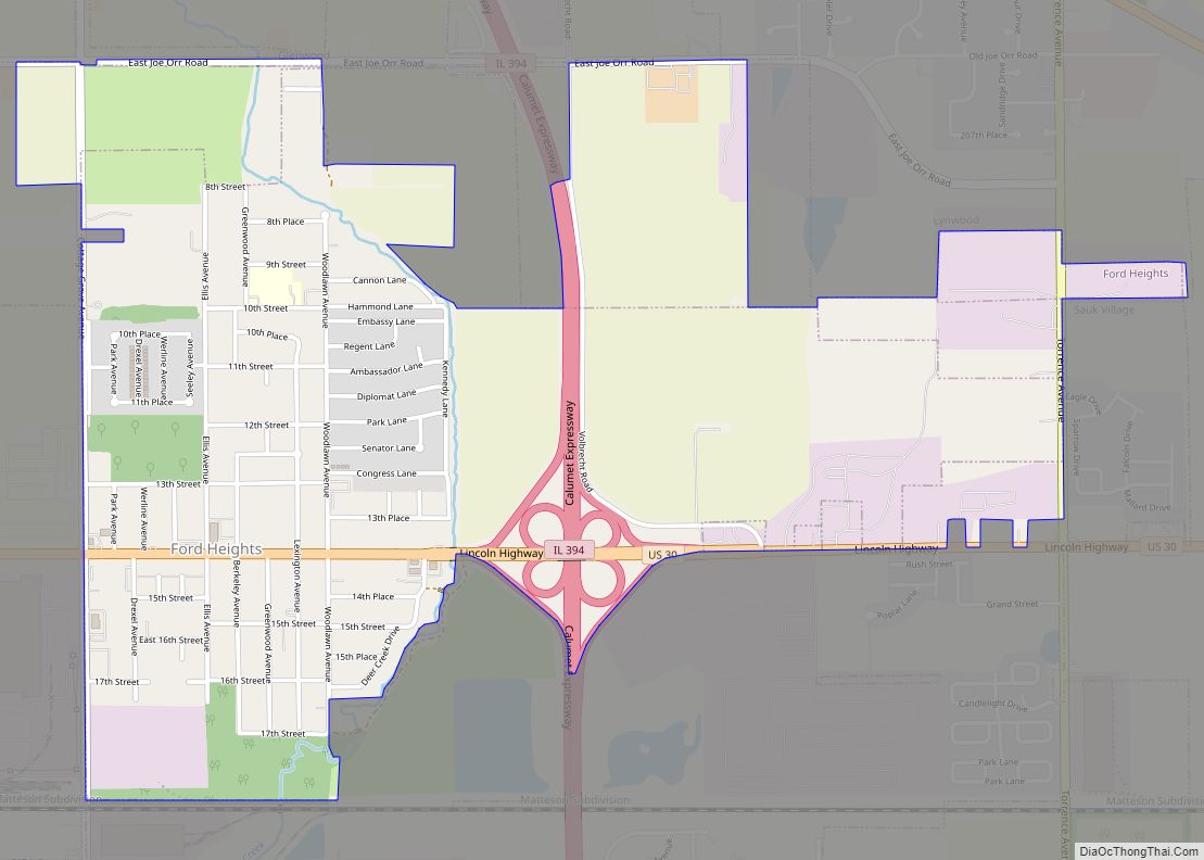
Ford Heights (formerly East Chicago Heights) is a village and a suburb of Chicago in Cook County, Illinois, United States. The population was 1,813 at the 2020 census. Many of the area’s first settlers were African American and since its incorporation in 1949 the village has remained predominantly Black. Due to the lack of commercial ... Read more
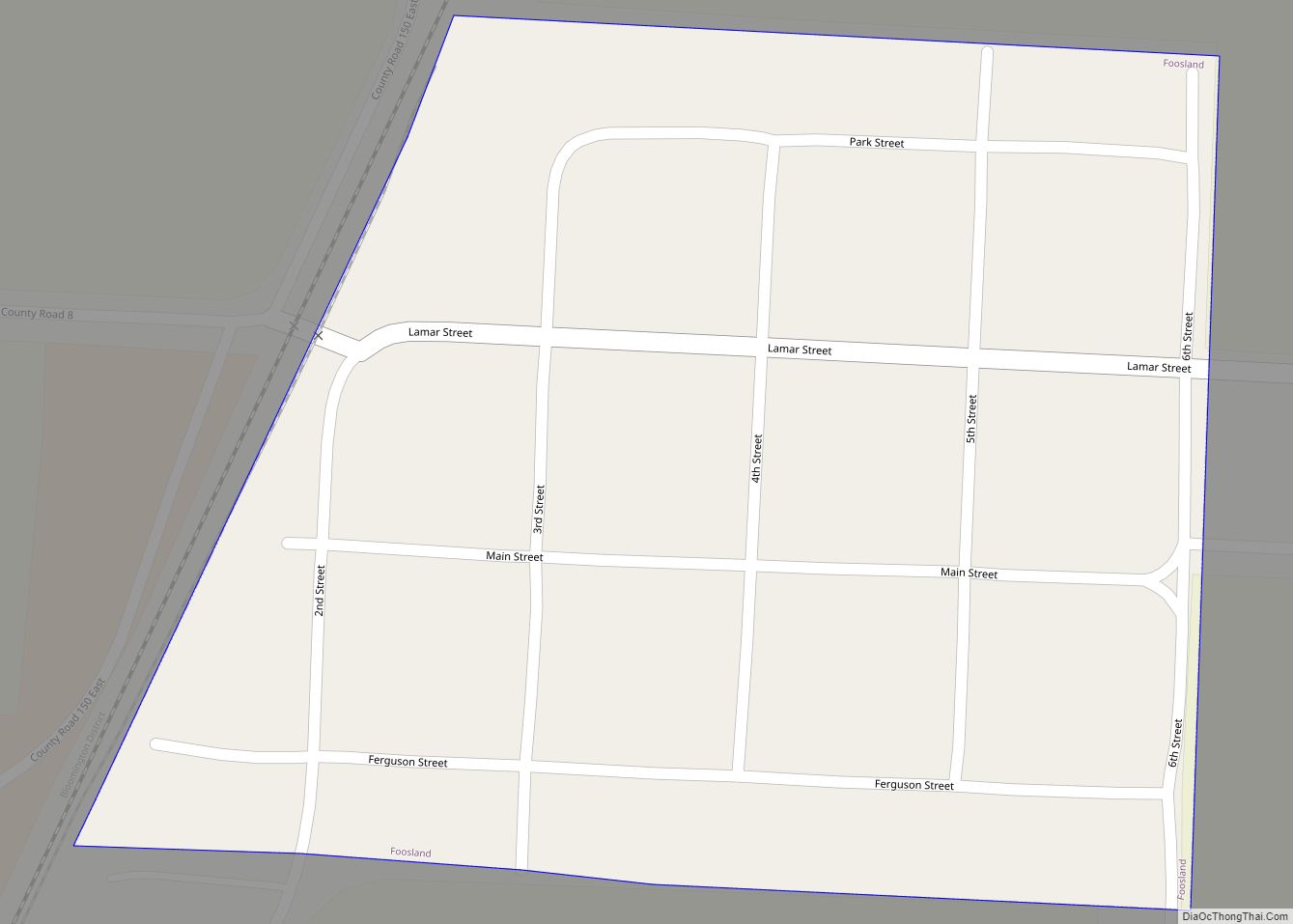
Foosland is a village in Champaign County, Illinois, United States. The population was 75 at the 2020 census. The village is named after William Foos, who owned 3,500 acres in the area in the 1840s. Foosland village overview: Name: Foosland village LSAD Code: 47 LSAD Description: village (suffix) State: Illinois County: Champaign County Elevation: 735 ft ... Read more
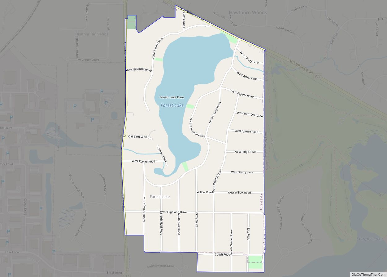
Forest Lake CDP overview: Name: Forest Lake CDP LSAD Code: 57 LSAD Description: CDP (suffix) State: Illinois County: Lake County FIPS code: 1726896 Online Interactive Map Forest Lake online map. Source: Basemap layers from Google Map, Open Street Map (OSM), Arcgisonline, Wmflabs. Boundary Data from Database of Global Administrative Areas. Forest Lake location map. Where ... Read more
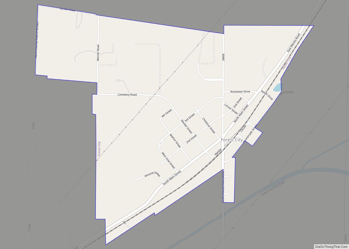
Forest City is a village in Mason County, Illinois, United States. The population was 222 at the 2020 census. Forest City village overview: Name: Forest City village LSAD Code: 47 LSAD Description: village (suffix) State: Illinois County: Mason County Elevation: 492 ft (150 m) Total Area: 0.52 sq mi (1.35 km²) Land Area: 0.52 sq mi (1.35 km²) Water Area: 0.00 sq mi (0.00 km²) Total ... Read more
Forest View is a village in Cook County, Illinois, United States. Per the 2020 census, the population was 792. It is primarily an industrial corridor adjacent to the Chicago neighborhood of Garfield Ridge, which is on the village’s southern border. Forest View village overview: Name: Forest View village LSAD Code: 47 LSAD Description: village (suffix) ... Read more
