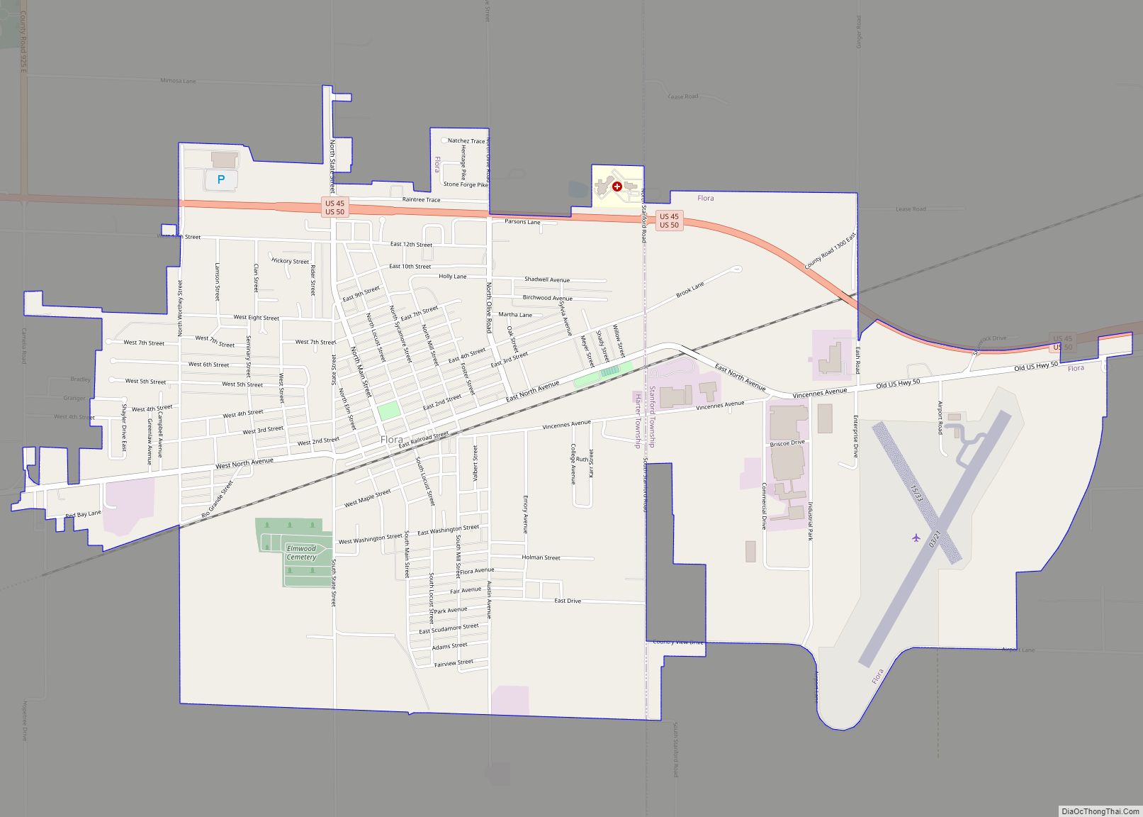
Flora is a city in Clay County, Illinois, United States. The population was 4,803 at the 2020 census.
| Name: | Flora city |
|---|---|
| LSAD Code: | 25 |
| LSAD Description: | city (suffix) |
| State: | Illinois |
| County: | Clay County |
| Total Area: | 4.69 sq mi (12.15 km²) |
| Land Area: | 4.69 sq mi (12.15 km²) |
| Water Area: | 0.00 sq mi (0.00 km²) |
| Total Population: | 4,803 |
| Population Density: | 1,024.09/sq mi (395.37/km²) |
| Area code: | 618 |
| FIPS code: | 1726454 |
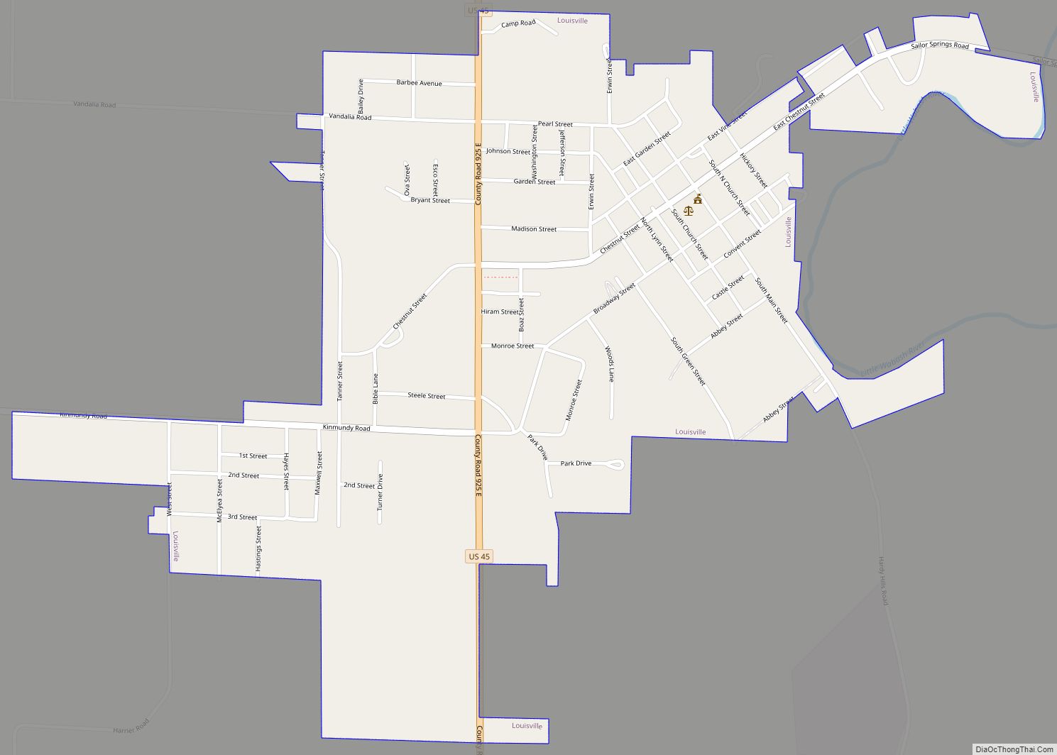
Online Interactive Map
Click on ![]() to view map in "full screen" mode.
to view map in "full screen" mode.
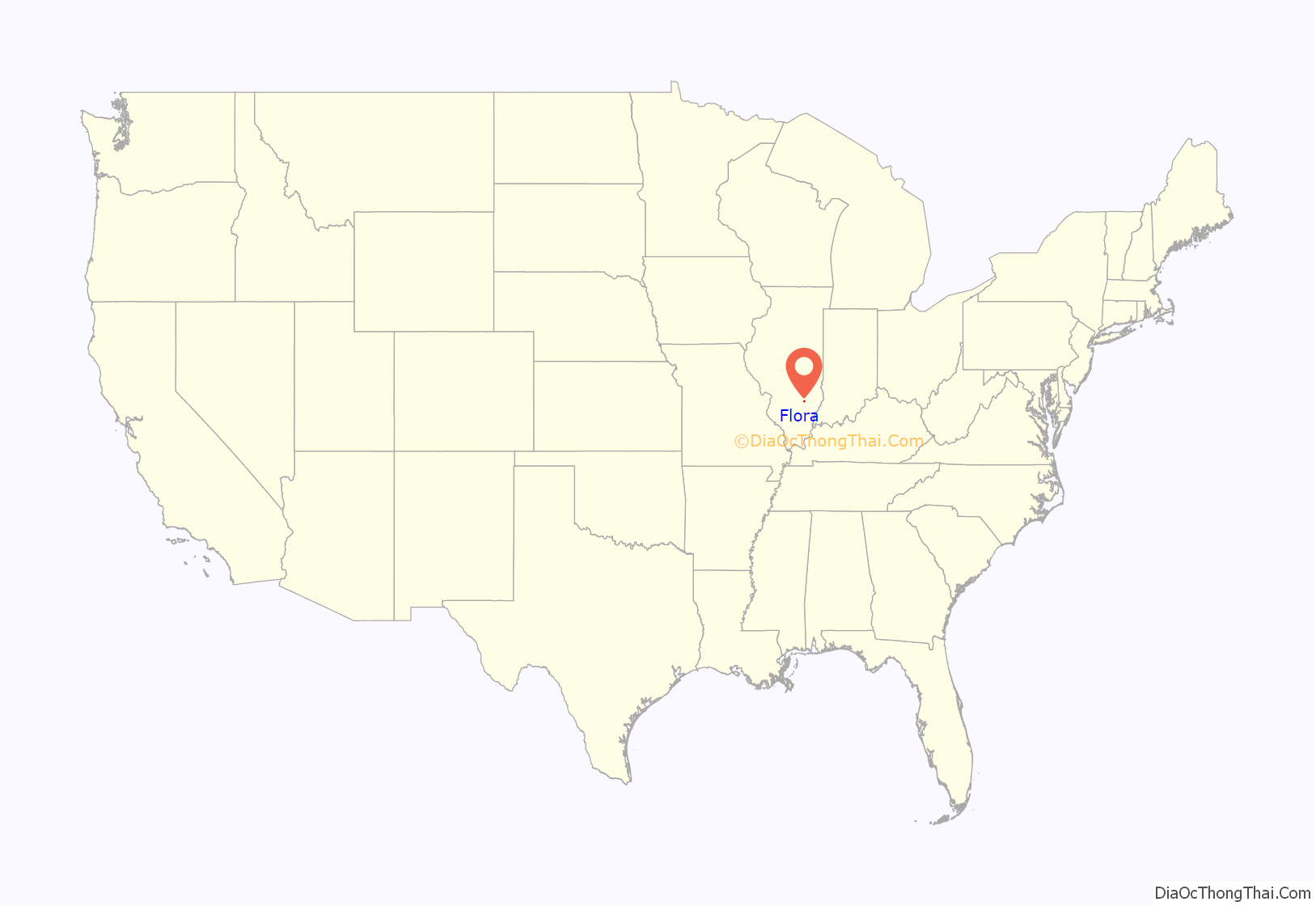
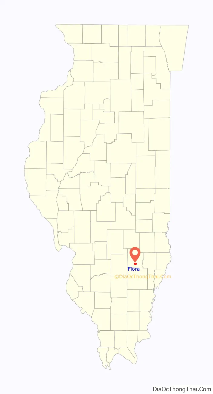
Flora location map. Where is Flora city?
History
Flora was founded by Samuel White. White was born September 10, 1831 in Warren County, Ohio. He and his family came to Clay County in 1852. During that time, he purchased 85 acres (34 ha) of land from the State of Illinois. His first wife, Sarah Ann Wall was born in 1833. Sarah died December 13, 1859 in Flora, and is buried in the family plot in Elmwood Cemetery. In December 1860, White married Helen M. Riggs in Flora.
The original town of Flora was laid out, surveyed and platted in February 1854 by Ethelred Nixon, County Surveyor; John Brown, Trustee for Songer, Camp & Company; and Samuel White. It embraced eighty-five acres of the west half of Section 25, Township 3 north Range 6 east. Samuel White who still owned the land, deeded one-half interest in forty acres to John Brown, Trustee, with a view of securing the town and depot. An effort had already been made to establish a town one mile west called Mooresville, where over 100 lots had been sold and some buildings done. After the collapse of that village, the principal house was moved to Flora, and was then known as the “Commercial House.”
Samuel White also donated land to the City of Flora for several buildings and the city park. The City Park, at that time called the Public Square, is present day Library Park where Flora Public Library is located. White donated land for the 1st schoolhouse, the Baptist Church and parsonage. Land was also donated for streets and alleys of the original town of Flora. The city’s founder died November 15, 1912 in Sterling, Colorado and was returned to Flora for burial in the family plot at Elmwood.
From “Flora, Illinois – Founded 1854” compiled by Flora Resident, Jeanie Briscoe. The book also contains historic information about the B & O railroad, the history of various buildings, and obituaries of some of Flora’s early citizens.
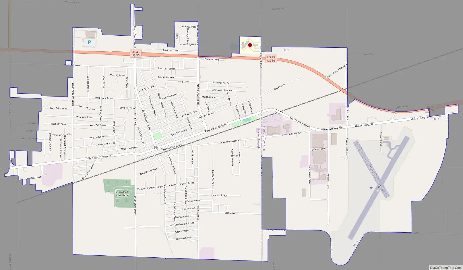
Flora Road Map
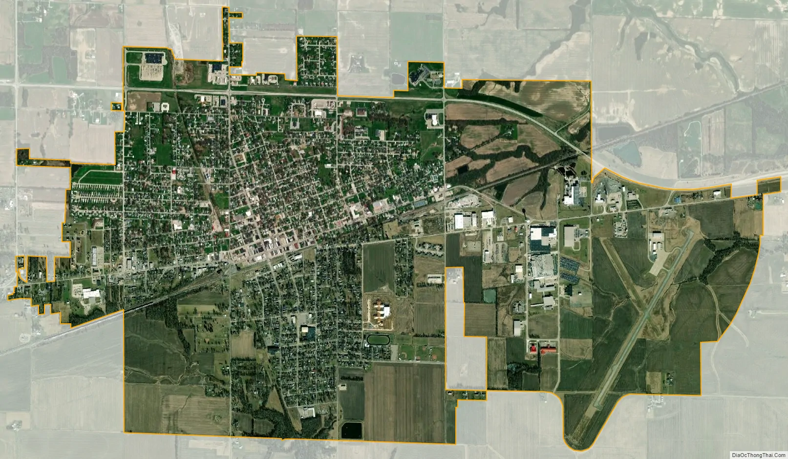
Flora city Satellite Map
Geography
Flora is located at 38°40.2′N 88°28.5′W / 38.6700°N 88.4750°W / 38.6700; -88.4750 (38.6698, -88.4841).
According to the 2021 census gazetteer files, Flora has a total area of 4.69 square miles (12.15 km), all land.
Climate
See also
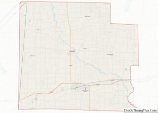
Map of Illinois State and its subdivision:- Adams
- Alexander
- Bond
- Boone
- Brown
- Bureau
- Calhoun
- Carroll
- Cass
- Champaign
- Christian
- Clark
- Clay
- Clinton
- Coles
- Cook
- Crawford
- Cumberland
- De Kalb
- De Witt
- Douglas
- Dupage
- Edgar
- Edwards
- Effingham
- Fayette
- Ford
- Franklin
- Fulton
- Gallatin
- Greene
- Grundy
- Hamilton
- Hancock
- Hardin
- Henderson
- Henry
- Iroquois
- Jackson
- Jasper
- Jefferson
- Jersey
- Jo Daviess
- Johnson
- Kane
- Kankakee
- Kendall
- Knox
- La Salle
- Lake
- Lake Michigan
- Lawrence
- Lee
- Livingston
- Logan
- Macon
- Macoupin
- Madison
- Marion
- Marshall
- Mason
- Massac
- McDonough
- McHenry
- McLean
- Menard
- Mercer
- Monroe
- Montgomery
- Morgan
- Moultrie
- Ogle
- Peoria
- Perry
- Piatt
- Pike
- Pope
- Pulaski
- Putnam
- Randolph
- Richland
- Rock Island
- Saint Clair
- Saline
- Sangamon
- Schuyler
- Scott
- Shelby
- Stark
- Stephenson
- Tazewell
- Union
- Vermilion
- Wabash
- Warren
- Washington
- Wayne
- White
- Whiteside
- Will
- Williamson
- Winnebago
- Woodford
- Alabama
- Alaska
- Arizona
- Arkansas
- California
- Colorado
- Connecticut
- Delaware
- District of Columbia
- Florida
- Georgia
- Hawaii
- Idaho
- Illinois
- Indiana
- Iowa
- Kansas
- Kentucky
- Louisiana
- Maine
- Maryland
- Massachusetts
- Michigan
- Minnesota
- Mississippi
- Missouri
- Montana
- Nebraska
- Nevada
- New Hampshire
- New Jersey
- New Mexico
- New York
- North Carolina
- North Dakota
- Ohio
- Oklahoma
- Oregon
- Pennsylvania
- Rhode Island
- South Carolina
- South Dakota
- Tennessee
- Texas
- Utah
- Vermont
- Virginia
- Washington
- West Virginia
- Wisconsin
- Wyoming