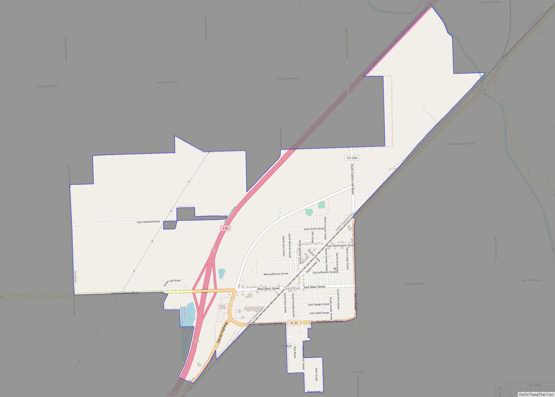
Gardner is a village in Grundy County, Illinois, United States. The population was 1,463 at the 2010 census. Gardner village overview: Name: Gardner village LSAD Code: 47 LSAD Description: village (suffix) State: Illinois County: Grundy County Elevation: 585 ft (178 m) Total Area: 2.94 sq mi (7.62 km²) Land Area: 2.91 sq mi (7.54 km²) Water Area: 0.03 sq mi (0.07 km²) Total Population: 1,366 Population ... Read more
Illinois Cities and Places
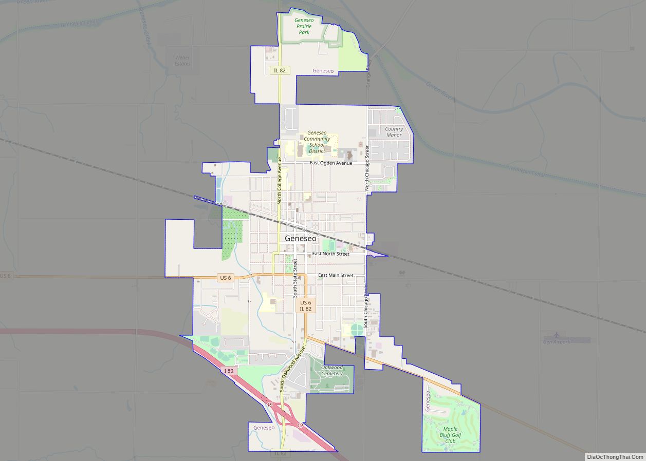
Geneseo is a city in Henry County, Illinois, United States. As of the 2020 census, the population was 6,539. Geneseo is 20 miles east of the Quad Cities, at the intersection of Interstate 80, U.S. Route 6 and Illinois Route 82. Geneseo city overview: Name: Geneseo city LSAD Code: 25 LSAD Description: city (suffix) State: ... Read more
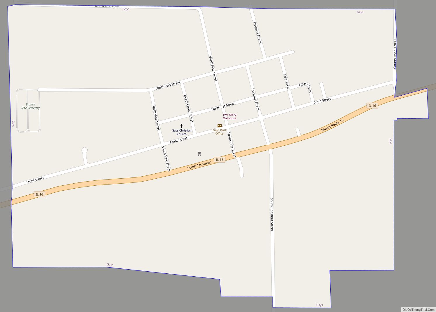
Gays is a village in Moultrie County, Illinois, United States. The population was 218 at the 2020 census, down from 281 in 2010. Gays village overview: Name: Gays village LSAD Code: 47 LSAD Description: village (suffix) State: Illinois County: Moultrie County Elevation: 755 ft (230 m) Total Area: 0.39 sq mi (1.00 km²) Land Area: 0.39 sq mi (1.00 km²) Water Area: 0.00 sq mi ... Read more
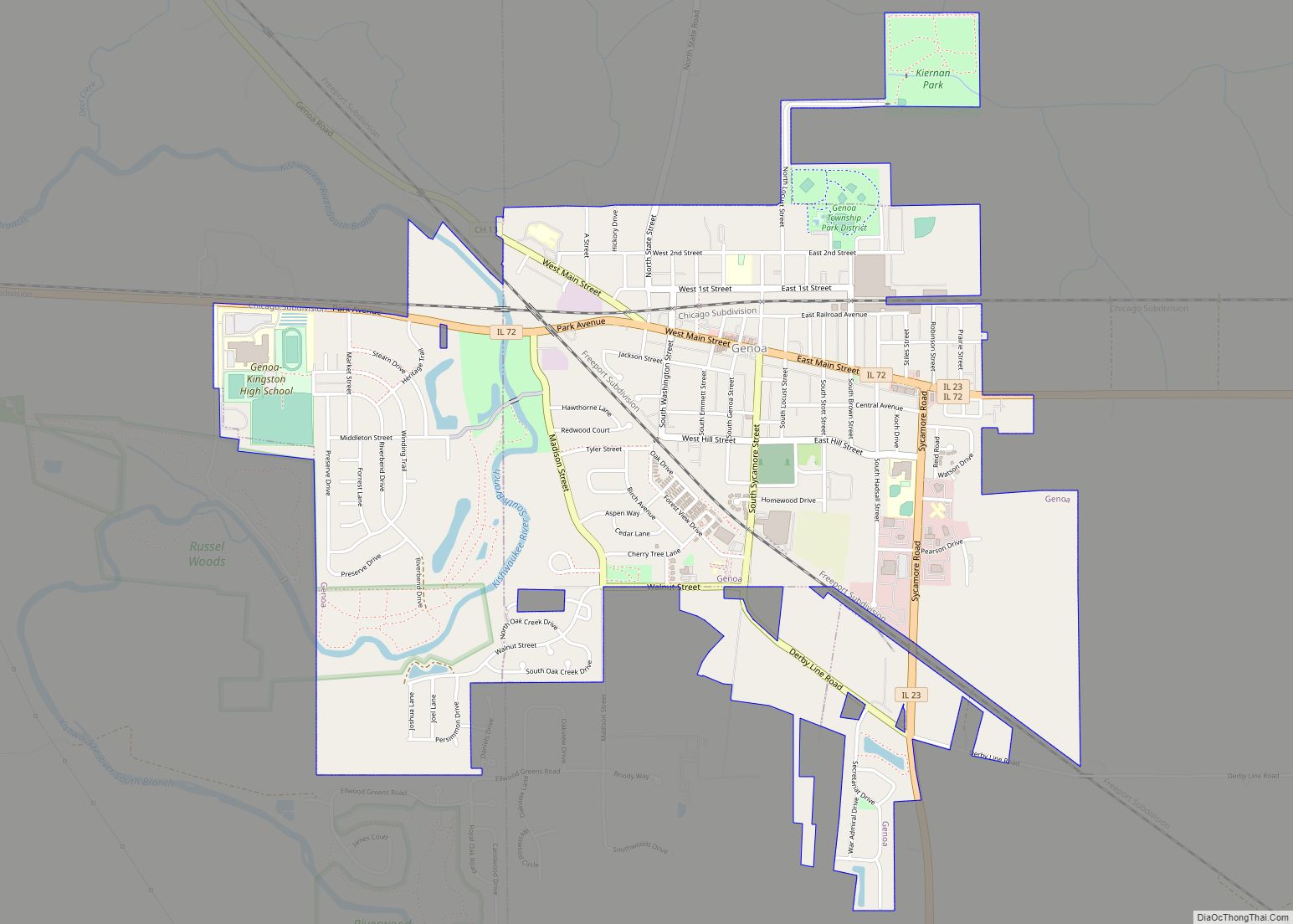
Genoa is a city in the north-east corner of DeKalb County, Illinois, United States. It is located on the historic Galena-Chicago stagecoach route. At the 2020 census the city had a population of 5,298, up from 5,193 in 2010. Genoa city overview: Name: Genoa city LSAD Code: 25 LSAD Description: city (suffix) State: Illinois County: ... Read more
Geneva is a city in and the county seat of Kane County, Illinois, United States. It is located on the western side of the Chicago suburbs. Per the 2020 census, the population was 21,393. Geneva is part of a tri-city area, located between St. Charles and Batavia. The area experienced rapid population growth from the ... Read more
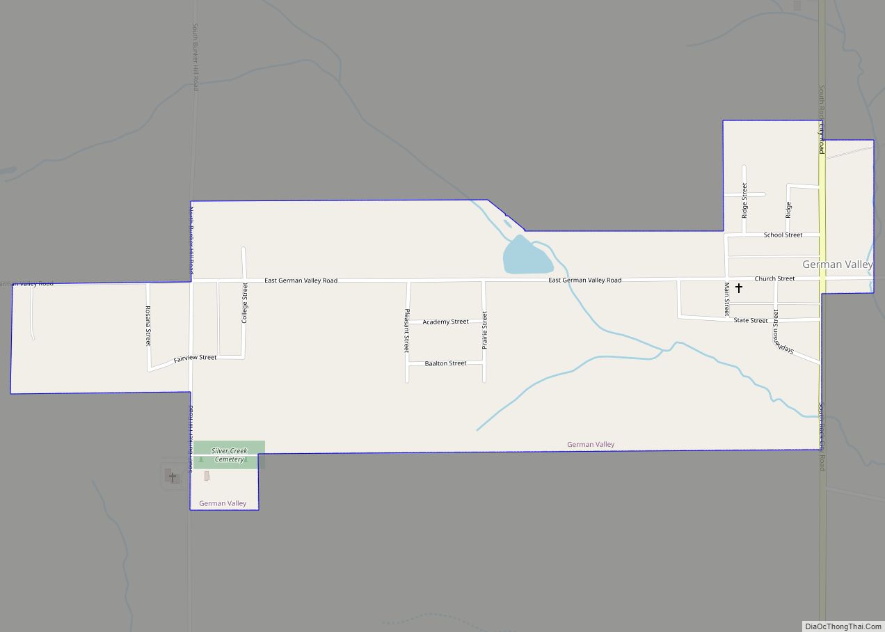
German Valley is a village in Stephenson County, Illinois, United States. German Valley is located four miles south of U.S. Route 20 between Freeport and Rockford. German Valley had a population of 433 at the 2020 census, with a 2023 estimate of 424. German Valley village overview: Name: German Valley village LSAD Code: 47 LSAD ... Read more
Georgetown is an unincorporated community and census-designated place (CDP) in McDonough County, Illinois, United States. Its population was 368 as of the 2020 census. The community is in central McDonough County, on the western border of the city of Macomb, the McDonough county seat. According to the U.S. Census Bureau, the Georgetown CDP has an ... Read more
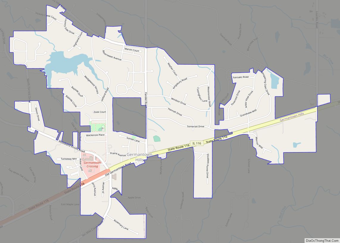
Germantown Hills is a village in Woodford County, Illinois, approximately 8 miles (13 km) northeast of Peoria. Germantown Hills is the only incorporated community in Worth Township. As of the 2010 census, the village had a total population of 3,438. Largely an agricultural community until its incorporation in 1954, Germantown Hills is now a growing bedroom ... Read more
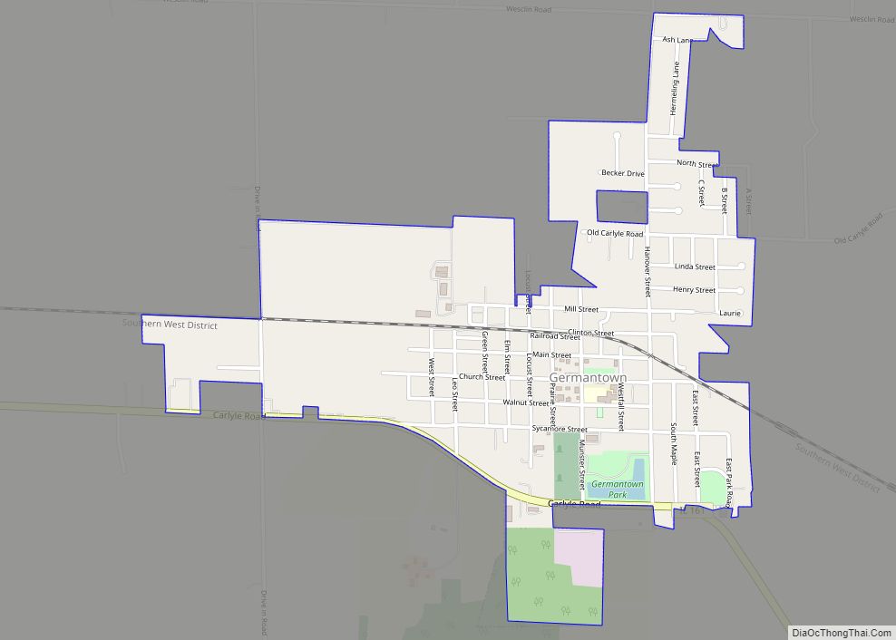
Germantown is a village in Clinton County, Illinois, United States. The population was 1,324 at the 2020 census. Germantown village overview: Name: Germantown village LSAD Code: 47 LSAD Description: village (suffix) State: Illinois County: Clinton County Elevation: 436 ft (133 m) Total Area: 1.01 sq mi (2.63 km²) Land Area: 1.01 sq mi (2.63 km²) Water Area: 0.00 sq mi (0.00 km²) Total Population: 1,324 Population ... Read more
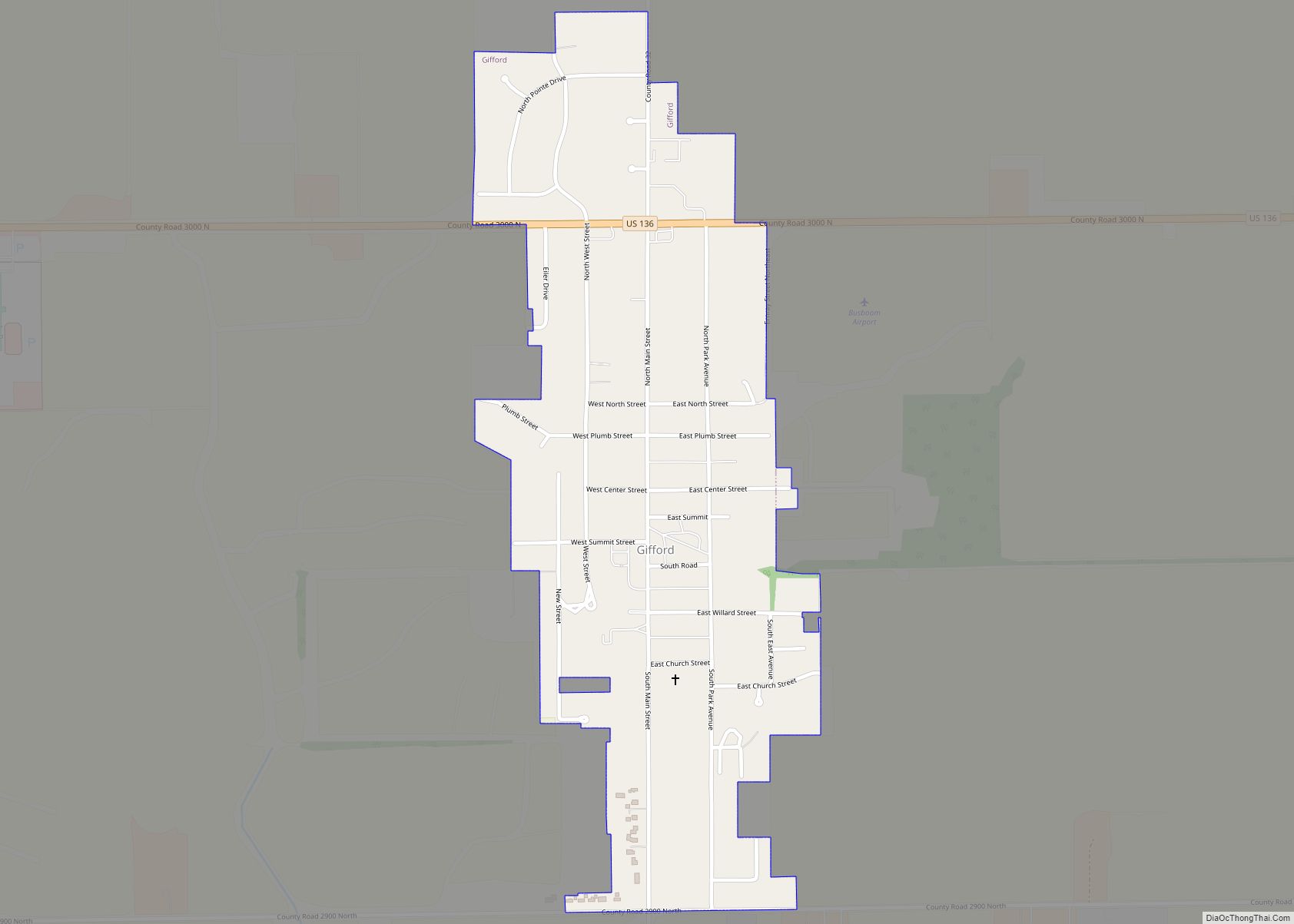
Gifford is a village in Champaign County, Illinois, United States. The population was 911 at the 2020 Census. Gifford village overview: Name: Gifford village LSAD Code: 47 LSAD Description: village (suffix) State: Illinois County: Champaign County Elevation: 799 ft (244 m) Total Area: 0.44 sq mi (1.15 km²) Land Area: 0.44 sq mi (1.15 km²) Water Area: 0.00 sq mi (0.00 km²) Total Population: 8,366 Population ... Read more
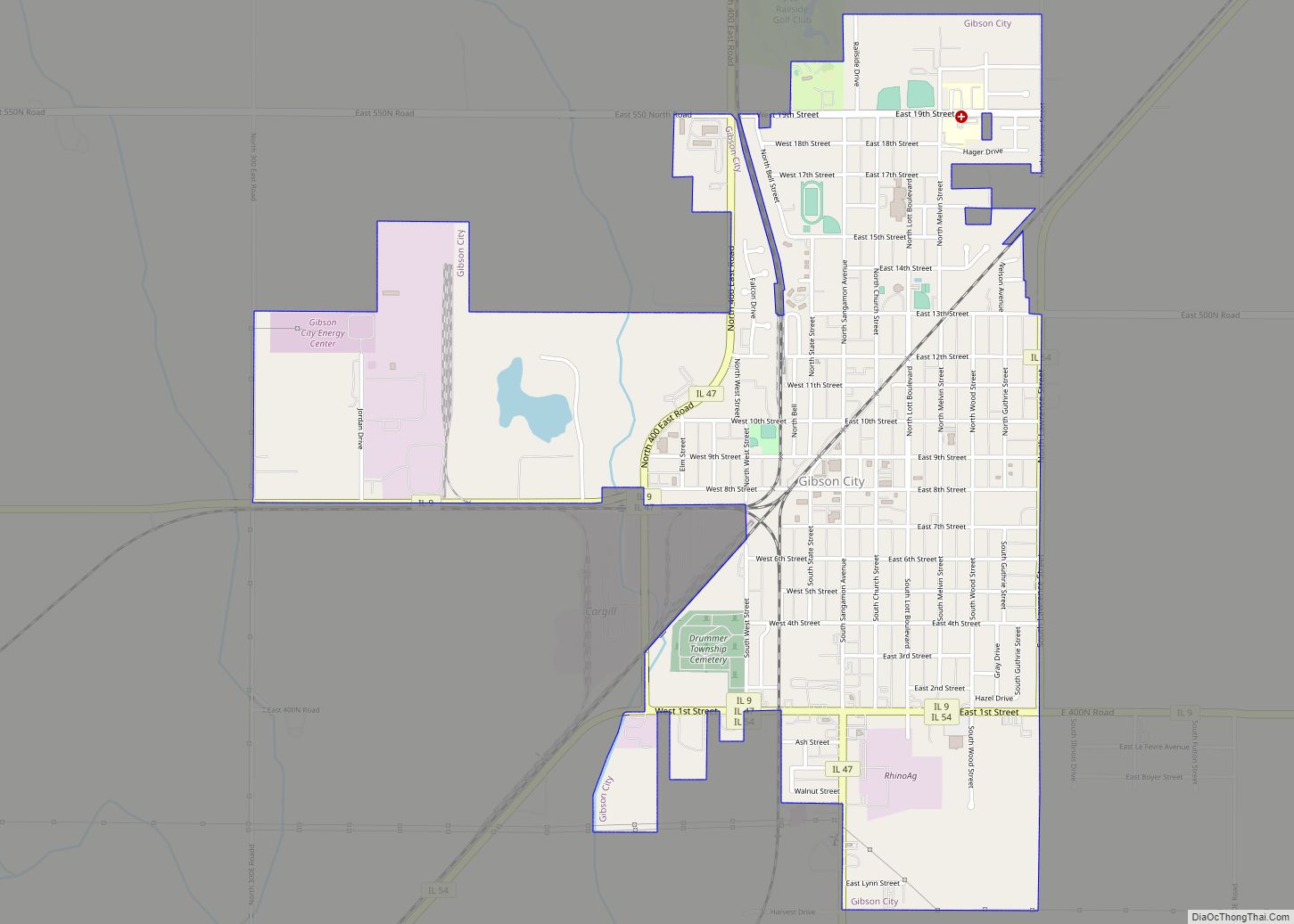
Gibson City is a city in Ford County, Illinois, United States. The population was 3,407 at the 2010 census. Gibson City city overview: Name: Gibson City city LSAD Code: 25 LSAD Description: city (suffix) State: Illinois County: Ford County Elevation: 751 ft (229 m) Total Area: 2.36 sq mi (6.10 km²) Land Area: 2.32 sq mi (6.01 km²) Water Area: 0.04 sq mi (0.09 km²) Total ... Read more
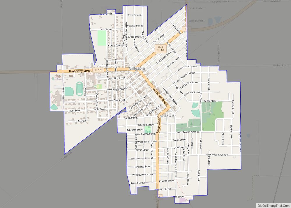
Gillespie is a city in Macoupin County, Illinois, United States, and part of the Metro East region of the St. Louis metropolitan area. The population was 3,168 at the 2020 census. Gillespie city overview: Name: Gillespie city LSAD Code: 25 LSAD Description: city (suffix) State: Illinois County: Macoupin County Incorporated: 1853 Elevation: 659 ft (201 m) Total ... Read more
