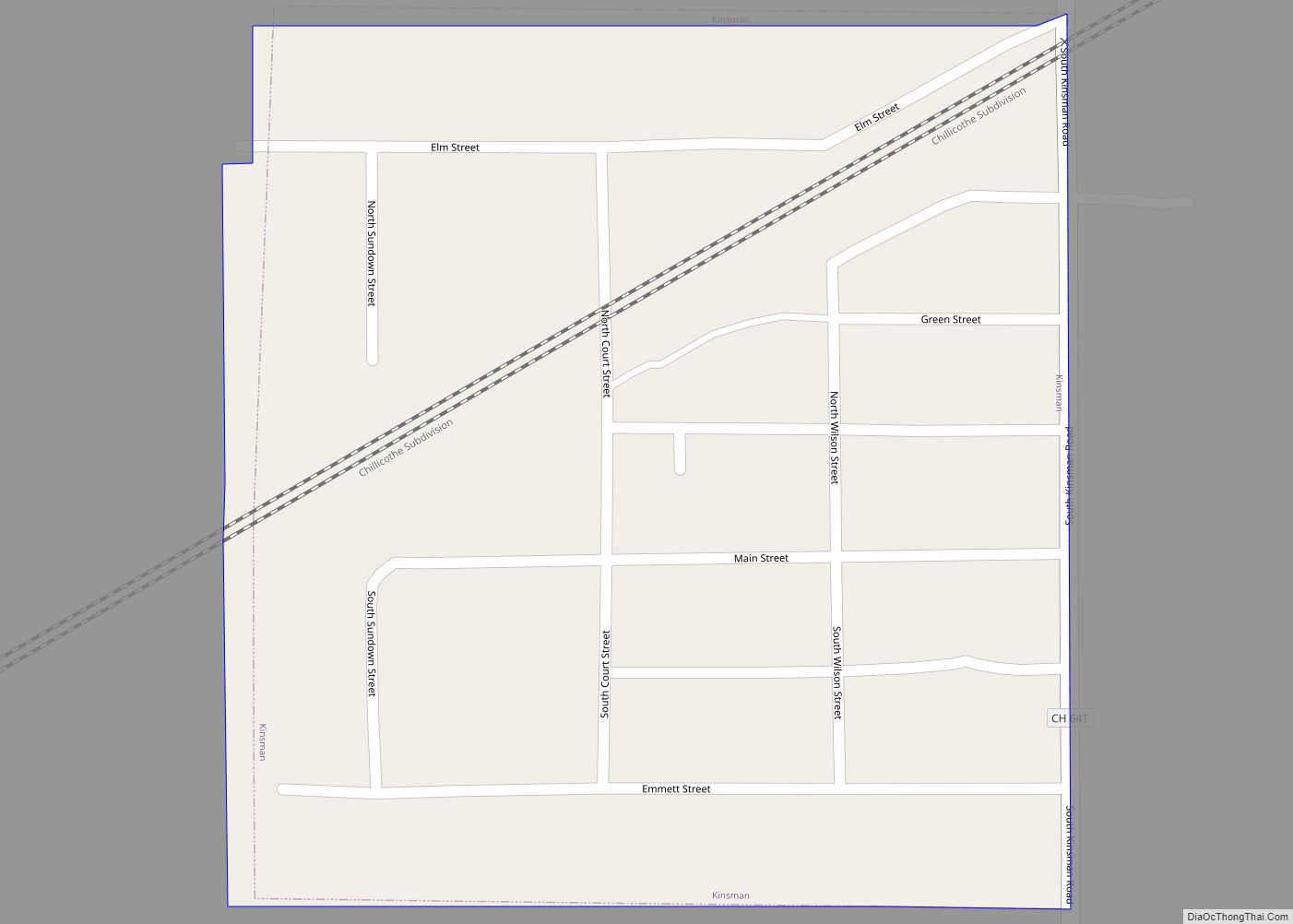
Kinsman is a village in Grundy County, Illinois, United States. The population was 99 at the 2010 census. Kinsman village overview: Name: Kinsman village LSAD Code: 47 LSAD Description: village (suffix) State: Illinois County: Grundy County Elevation: 655 ft (200 m) Total Area: 0.07 sq mi (0.18 km²) Land Area: 0.07 sq mi (0.18 km²) Water Area: 0.00 sq mi (0.00 km²) Total Population: 90 Population ... Read more
Illinois Cities and Places
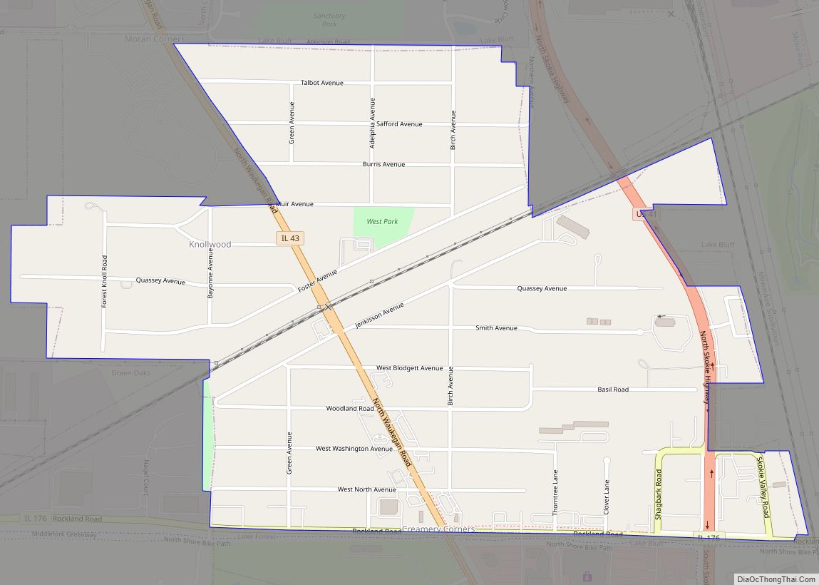
Knollwood is an unincorporated community and census-designated place (CDP) in Lake County, Illinois, United States. Per the 2020 census, the population was 2,221. It is located within Shields Township and Libertyville Township. Knollwood shares a ZIP Code with the neighboring village of Lake Bluff, and children attend Lake Bluff schools. The residents of Knollwood were ... Read more
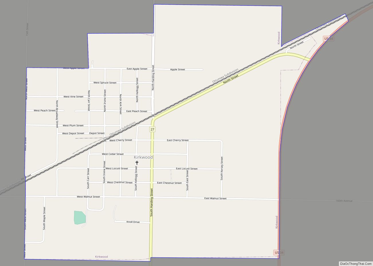
Kirkwood is a village in Warren County, Illinois, United States. The population was 714 at the 2010 census. It is part of the Galesburg Micropolitan Statistical Area. Kirkwood village overview: Name: Kirkwood village LSAD Code: 47 LSAD Description: village (suffix) State: Illinois County: Warren County Elevation: 748 ft (228 m) Total Area: 0.94 sq mi (2.43 km²) Land Area: 0.94 sq mi ... Read more
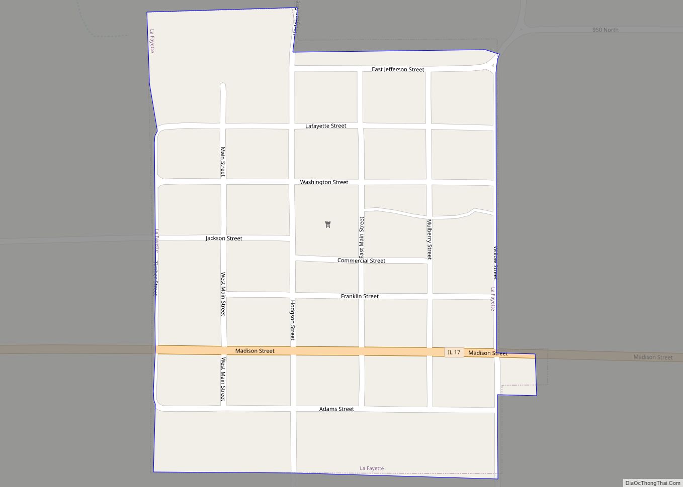
La Fayette (named after Gilbert du Motier, Marquis de Lafayette, pronounced locally “Lay – fay – et”) is a village in Stark County, Illinois. It is located south of Kewanee off Route 78 on Route 17|IL-17 (Madison Street). The population was 223 at the 2010 census, down from 227 in 2000. It is part of ... Read more
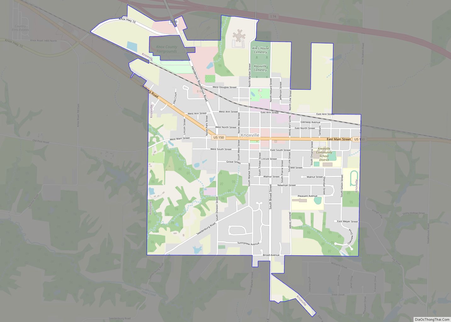
Knoxville is a city in Knox County, Illinois, United States. The population was 2,911 at the 2010 census. It is part of the Galesburg Micropolitan Statistical Area. Knoxville city overview: Name: Knoxville city LSAD Code: 25 LSAD Description: city (suffix) State: Illinois County: Knox County Founded: 1831 Elevation: 764 ft (233 m) Total Area: 2.35 sq mi (6.09 km²) Land ... Read more
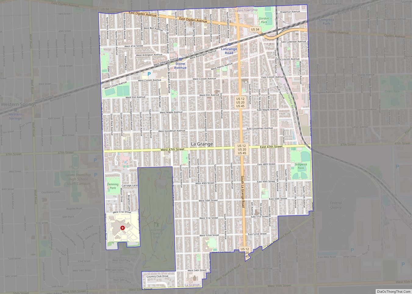
The village of La Grange (/lə ˈɡreɪndʒ/ lə GRAYNJ; often spelled LaGrange), a suburb of Chicago, is a village in Cook County, in the U.S. state of Illinois. The population was 16,321 at the 2020 census. La Grange village overview: Name: La Grange village LSAD Code: 47 LSAD Description: village (suffix) State: Illinois County: Cook ... Read more
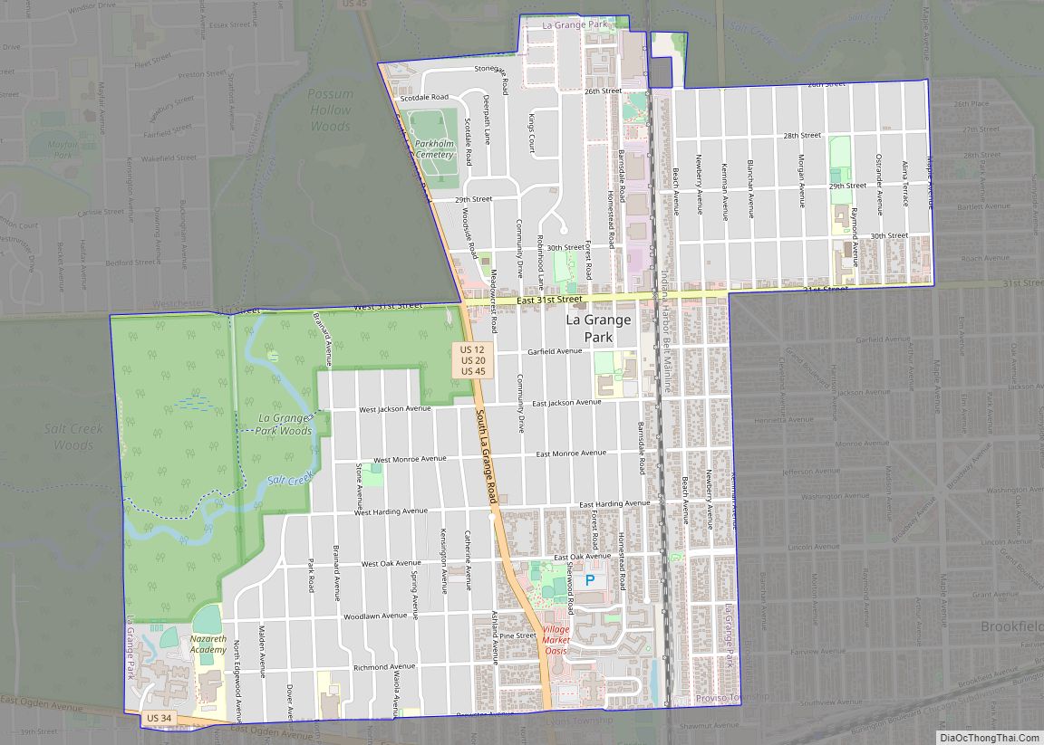
La Grange Park is a village in Cook County, Illinois, United States. Per the 2020 census, the population was 13,475. La Grange Park village overview: Name: La Grange Park village LSAD Code: 47 LSAD Description: village (suffix) State: Illinois County: Cook County Total Area: 2.23 sq mi (5.78 km²) Land Area: 2.23 sq mi (5.78 km²) Water Area: 0.00 sq mi (0.00 km²) Total ... Read more
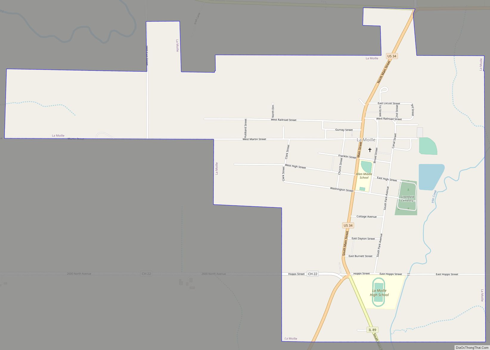
La Moille is a village in Bureau County, Illinois, United States. The population was 679 at the 2020 census. It is part of the Ottawa Micropolitan Statistical Area. La Moille was named after the Lamoille River valley, in Vermont. La Moille village overview: Name: La Moille village LSAD Code: 47 LSAD Description: village (suffix) State: ... Read more
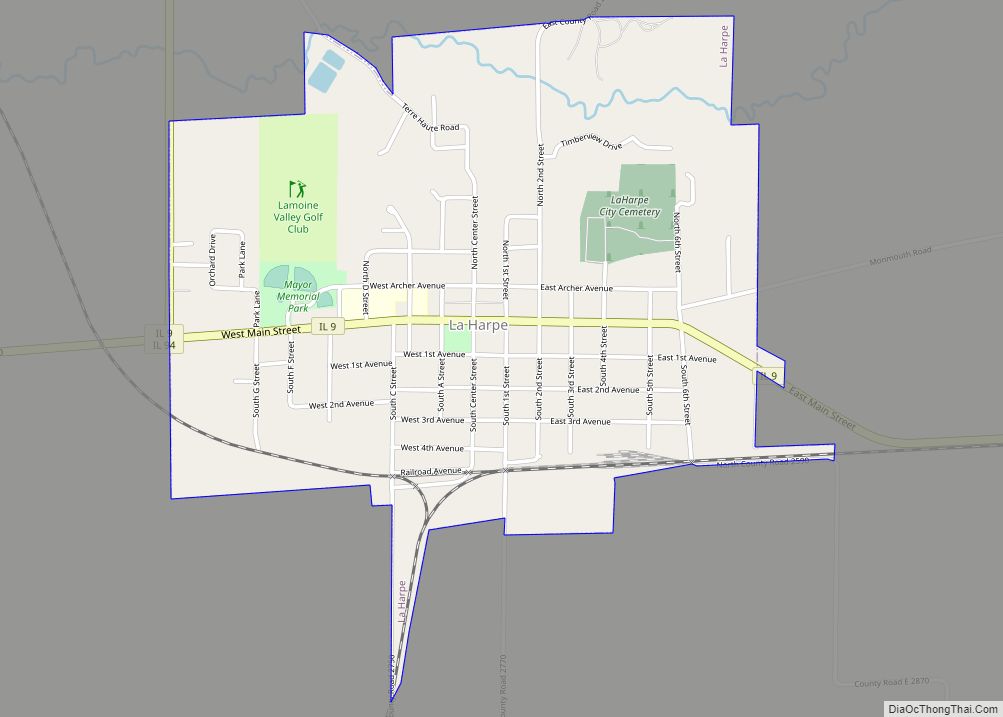
La Harpe is a town in Hancock County, Illinois, United States. The population was 1,235 at the 2010 census, down from 1,385 at the 2000 census. La Harpe city overview: Name: La Harpe city LSAD Code: 25 LSAD Description: city (suffix) State: Illinois County: Hancock County Elevation: 696 ft (212 m) Total Area: 1.36 sq mi (3.53 km²) Land Area: ... Read more
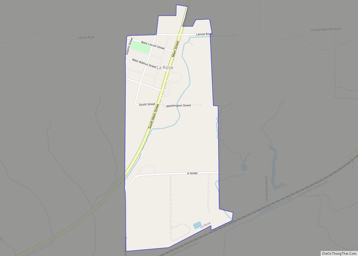
La Rose is a village in Bell Plain Township, Marshall County, Illinois, United States. The population was 98 at the 2020 census, down from 144 in 2010. It is part of the Peoria Metropolitan Statistical Area. La Rose village overview: Name: La Rose village LSAD Code: 47 LSAD Description: village (suffix) State: Illinois County: Marshall ... Read more
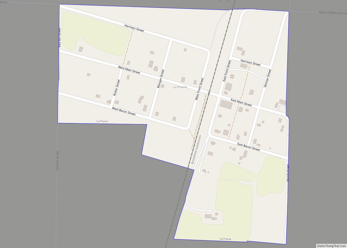
La Prairie is a village in Adams County, Illinois, United States. The population was 42 at the 2020 census. It is part of the Quincy, IL–MO Micropolitan Statistical Area. La Prairie village overview: Name: La Prairie village LSAD Code: 47 LSAD Description: village (suffix) State: Illinois County: Adams County Incorporated: April 15, 1869 (1869-04-15) Elevation: 709 ft (216 m) Total ... Read more
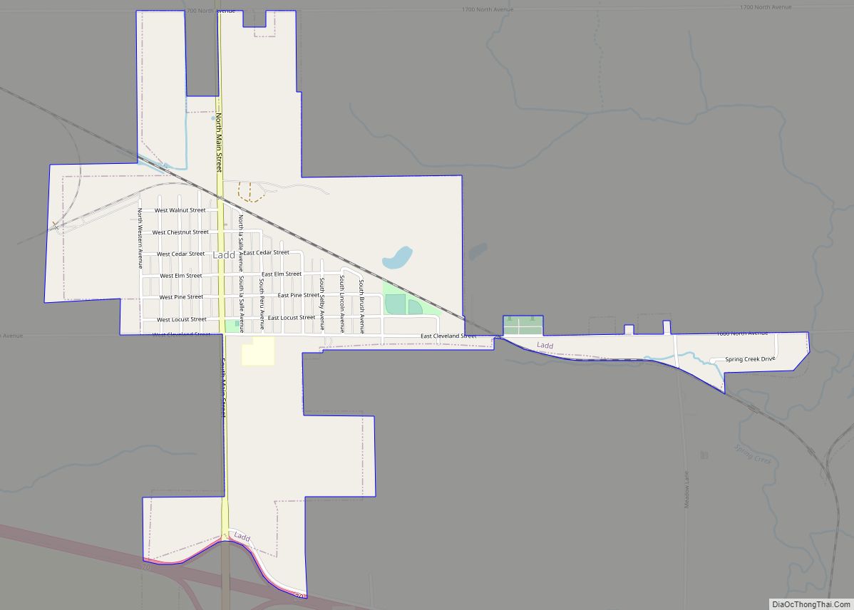
Ladd is a village in Bureau County, Illinois, United States. The population was 1,236 at the 2020 census. It is part of the Ottawa Micropolitan Statistical Area. Ladd is most known for Rip’s Tavern (which serves about 1,200 orders of fried chicken on a busy night), and for a Vietnam War tank located in the ... Read more
