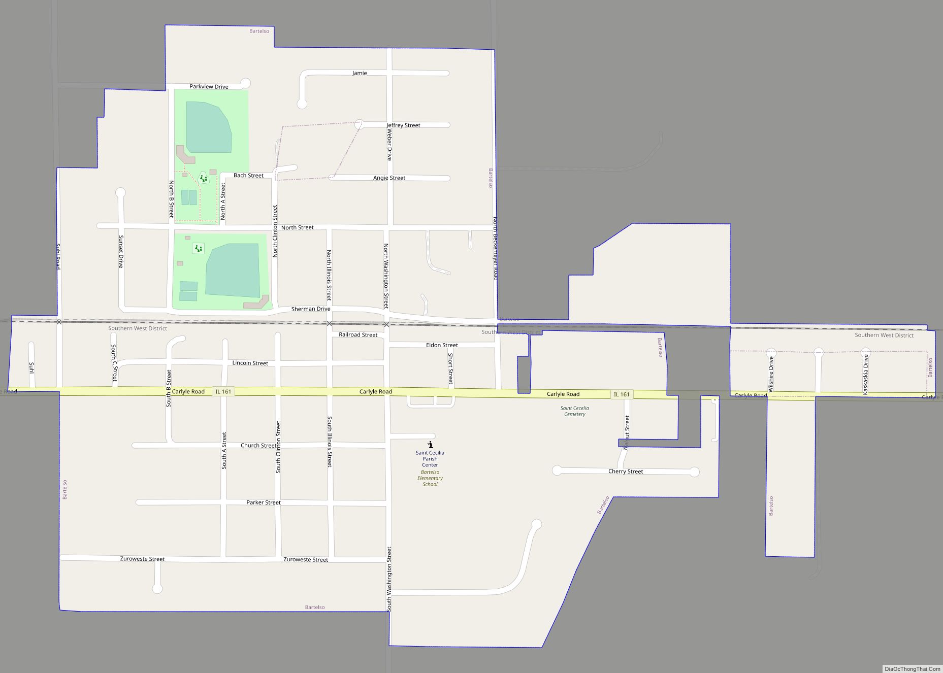
Bartelso is a village in Clinton County, Illinois, United States. The population was 635 at the 2020 census, up from 595 at the 2010 census. Bartelso village overview: Name: Bartelso village LSAD Code: 47 LSAD Description: village (suffix) State: Illinois County: Clinton County Elevation: 449 ft (137 m) Total Area: 0.66 sq mi (1.70 km²) Land Area: 0.66 sq mi (1.70 km²) Water ... Read more
Illinois Cities and Places
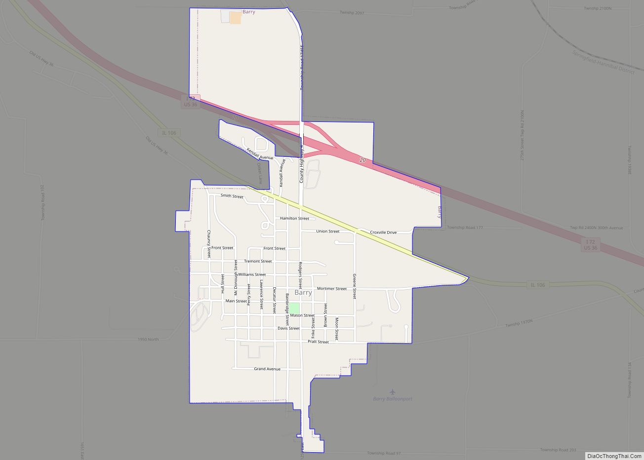
Barry (formerly Worcester) is a city in Pike County, Illinois, United States. The population was 1,318 at the 2010 census, down from 1,368 in 2000. Barry city overview: Name: Barry city LSAD Code: 25 LSAD Description: city (suffix) State: Illinois County: Pike County Elevation: 673 ft (205 m) Total Area: 1.43 sq mi (3.71 km²) Land Area: 1.43 sq mi (3.71 km²) Water ... Read more
Barrington is a village in Cook County and Lake County, Illinois, United States. The population was 10,722 at the 2020 census. A northwest suburb of Chicago, the area features wetlands, forest preserves, parks, and horse trails in a country-suburban setting. Barrington is part of the Chicago metropolitan area and serves as the hub of activity ... Read more
Barrington Hills is a village located about 40 miles (64 km) northwest of Chicago in the U.S. state of Illinois. Per the 2020 census, the population was 4,114. It straddles approximately 29 square miles (75 km) over four counties, Cook, Kane, Lake, and McHenry. The Village of Barrington Hills was incorporated in 1957. The suburban village is ... Read more
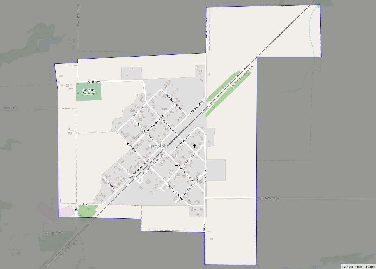
Bardolph is a village in McDonough County, Illinois, United States. The population was 210 at the 2020 census, down from 251 in 2010. Bardolph village overview: Name: Bardolph village LSAD Code: 47 LSAD Description: village (suffix) State: Illinois County: McDonough County Elevation: 672 ft (205 m) Total Area: 0.62 sq mi (1.60 km²) Land Area: 0.62 sq mi (1.60 km²) Water Area: 0.00 sq mi ... Read more
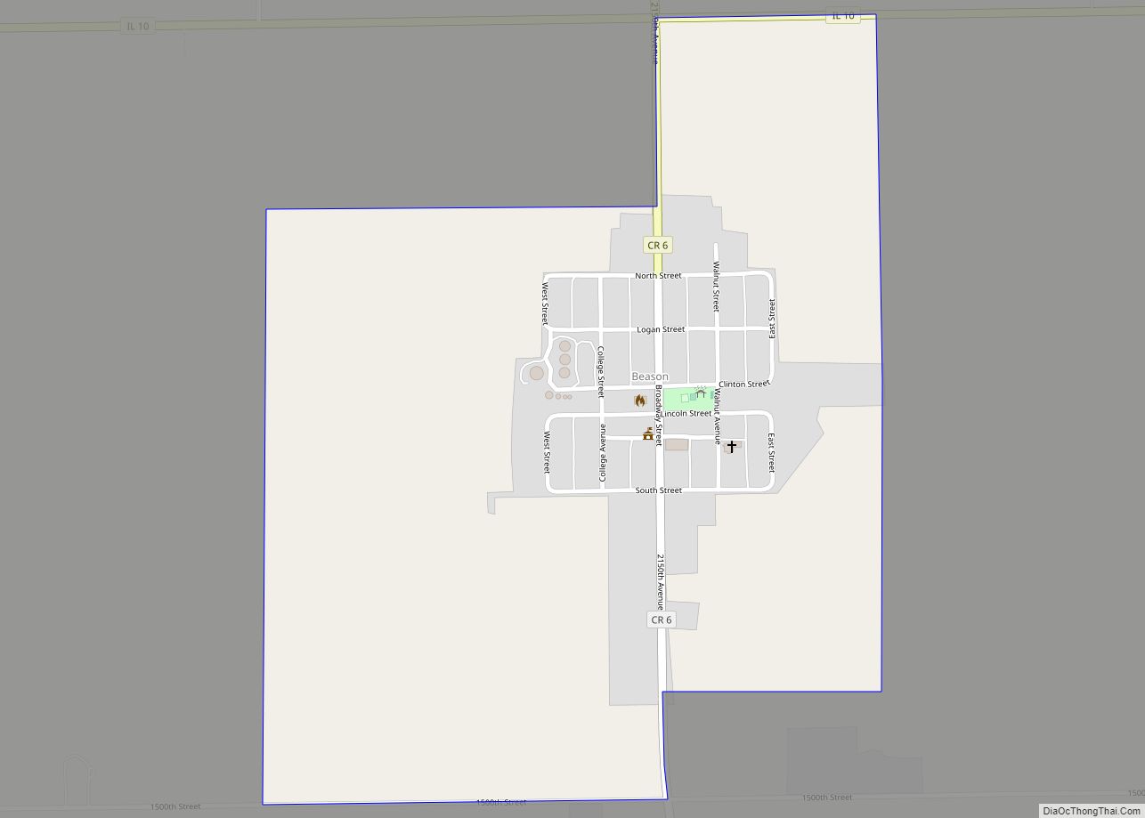
Beason is an unincorporated census-designated place (CDP) in Oran Township, Logan County, Illinois, United States. The town lies one mile (1.6 km) south of Illinois Route 10. At the 2010 census, Beason had a population of 189. Beason has a post office with ZIP code 62512. Beason CDP overview: Name: Beason CDP LSAD Code: 57 LSAD ... Read more
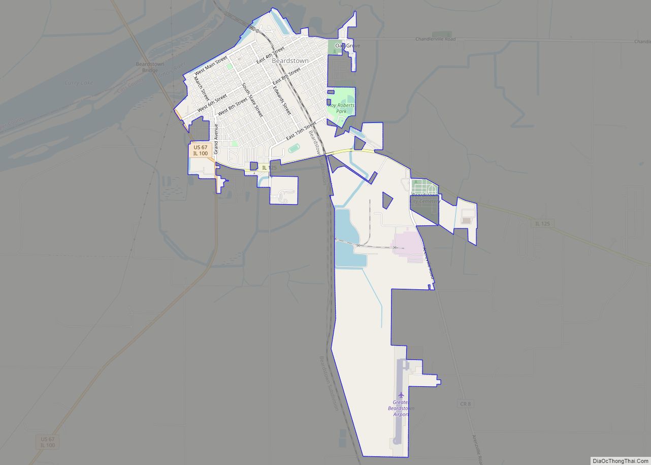
Beardstown is a city in Cass County, Illinois, United States. The population was 5,951 at the 2020 census. The public schools are in Beardstown Community Unit School District 15. Beardstown city overview: Name: Beardstown city LSAD Code: 25 LSAD Description: city (suffix) State: Illinois County: Cass County Elevation: 446 ft (136 m) Total Area: 3.65 sq mi (9.45 km²) Land ... Read more
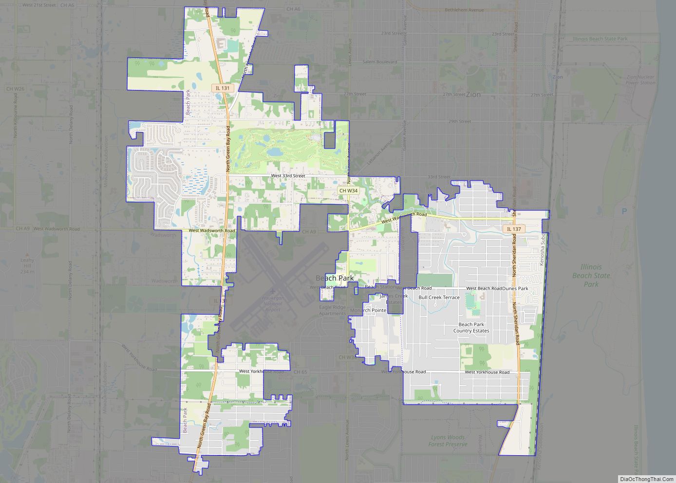
Beach Park is a village in Benton and Waukegan townships of Lake County, Illinois, United States. Per the 2020 census, the population was 14,249. Beach Park village overview: Name: Beach Park village LSAD Code: 47 LSAD Description: village (suffix) State: Illinois County: Lake County Total Area: 7.08 sq mi (18.33 km²) Land Area: 7.08 sq mi (18.33 km²) Water Area: 0.00 sq mi ... Read more
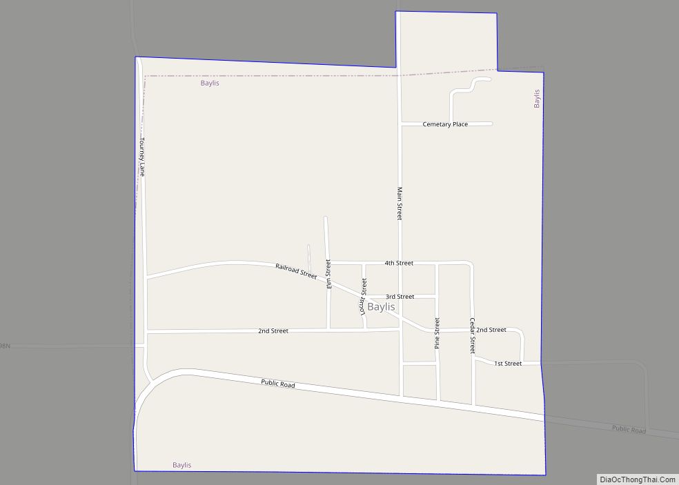
Baylis is a village in Pike County, Illinois, United States. The population was 200 at the 2010 census. Baylis village overview: Name: Baylis village LSAD Code: 47 LSAD Description: village (suffix) State: Illinois County: Pike County Elevation: 869 ft (265 m) Total Area: 0.47 sq mi (1.22 km²) Land Area: 0.47 sq mi (1.22 km²) Water Area: 0.00 sq mi (0.00 km²) Total Population: 172 Population ... Read more
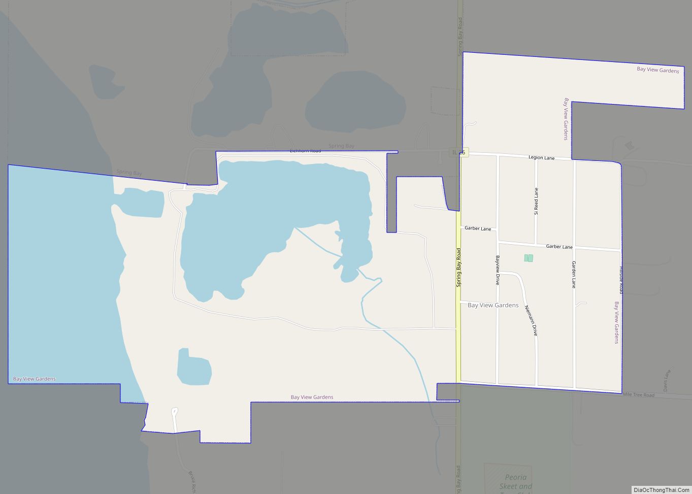
Bay View Gardens is a village in Woodford County, Illinois, United States. The population was 378 at the 2010 census, up from 366 in 2000. The village is part of the Peoria, Illinois Metropolitan Statistical Area. Bay View Gardens village overview: Name: Bay View Gardens village LSAD Code: 47 LSAD Description: village (suffix) State: Illinois ... Read more
Bath is a village in Mason County, Illinois, United States. The population was 279 at the 2020 census. Bath village overview: Name: Bath village LSAD Code: 47 LSAD Description: village (suffix) State: Illinois County: Mason County Elevation: 459 ft (140 m) Total Area: 0.36 sq mi (0.95 km²) Land Area: 0.36 sq mi (0.94 km²) Water Area: 0.00 sq mi (0.00 km²) Total Population: 279 Population ... Read more
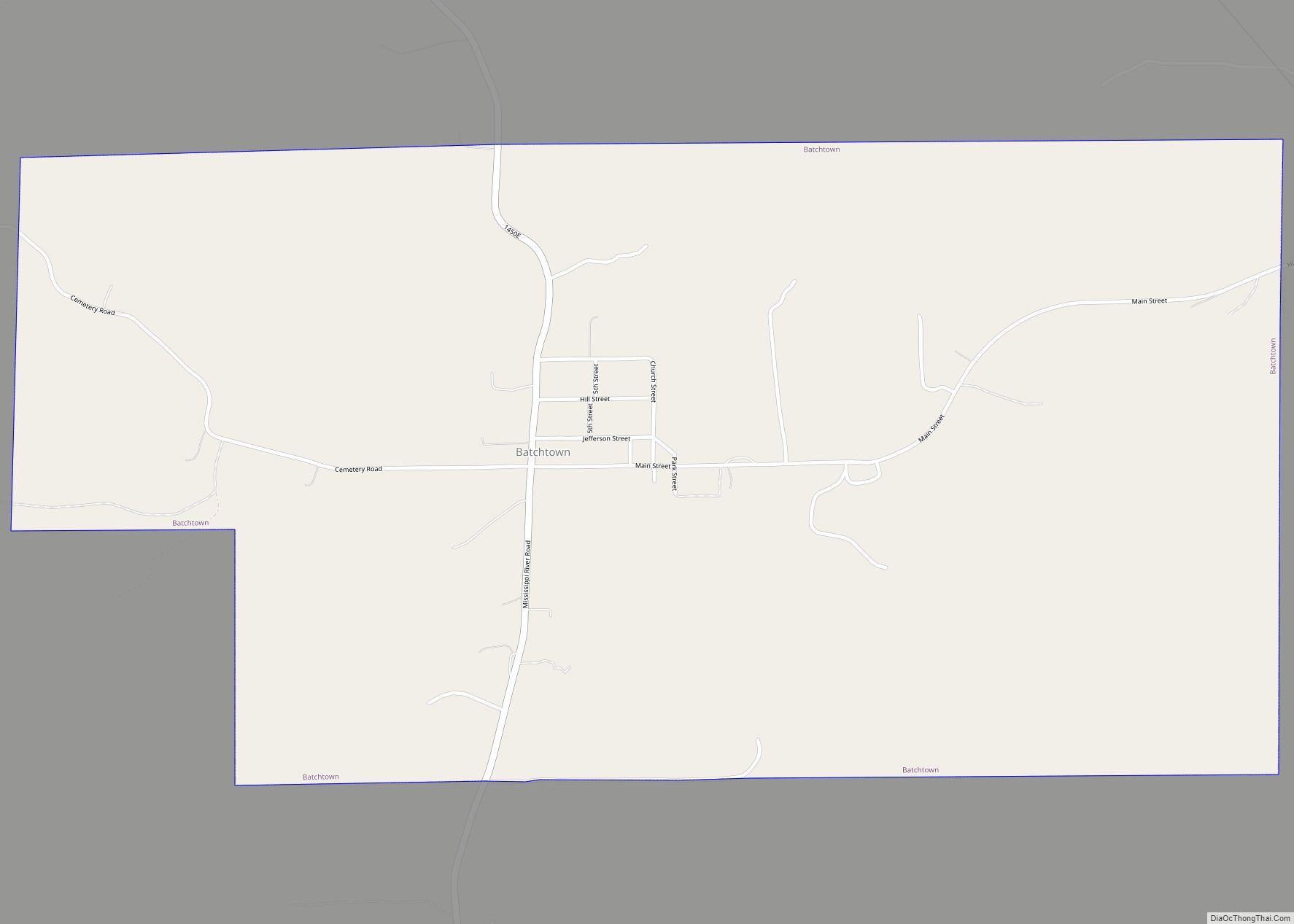
Batchtown is a village in southern Calhoun County, Illinois, United States. The population was 170 at the 2020 census, down from 214 at the 2010 census. As of 2018, the population had decreased to an estimated 199. Batchtown village overview: Name: Batchtown village LSAD Code: 47 LSAD Description: village (suffix) State: Illinois County: Calhoun County ... Read more
