Barrington Hills is a village located about 40 miles (64 km) northwest of Chicago in the U.S. state of Illinois. Per the 2020 census, the population was 4,114. It straddles approximately 29 square miles (75 km) over four counties, Cook, Kane, Lake, and McHenry. The Village of Barrington Hills was incorporated in 1957.
The suburban village is included in the greater Barrington area. Many very affluent residents live on large estates and commute to downtown Chicago. A minimum 5-acre (2.0 ha) zoning restriction has been in effect on new construction since 1963, but the existence of equestrian farms antedates the village by decades. Farming and horse raising are allowed. Barrington Hills includes farms and estates such as Hill ‘N Dale Farms, owned by Richard L. Duchossois, former owner of the Arlington Park racetrack, and the Bank Note Farm. The identification of the area with horses carries over to the names Broncos and Colts for school teams.
| Name: | Barrington Hills village |
|---|---|
| LSAD Code: | 47 |
| LSAD Description: | village (suffix) |
| State: | Illinois |
| County: | Cook County, Kane County, Lake County, McHenry County |
| Incorporated: | July 5, 1957 |
| Elevation: | 774 ft (236 m) |
| Total Area: | 27.62 sq mi (71.54 km²) |
| Land Area: | 27.00 sq mi (69.94 km²) |
| Water Area: | 0.62 sq mi (1.60 km²) |
| Total Population: | 4,114 |
| Population Density: | 152.34/sq mi (58.82/km²) |
| ZIP code: | 60010, 60021, 60102 |
| FIPS code: | 1703883 |
| Website: | barringtonhills-il.gov |
Online Interactive Map
Click on ![]() to view map in "full screen" mode.
to view map in "full screen" mode.
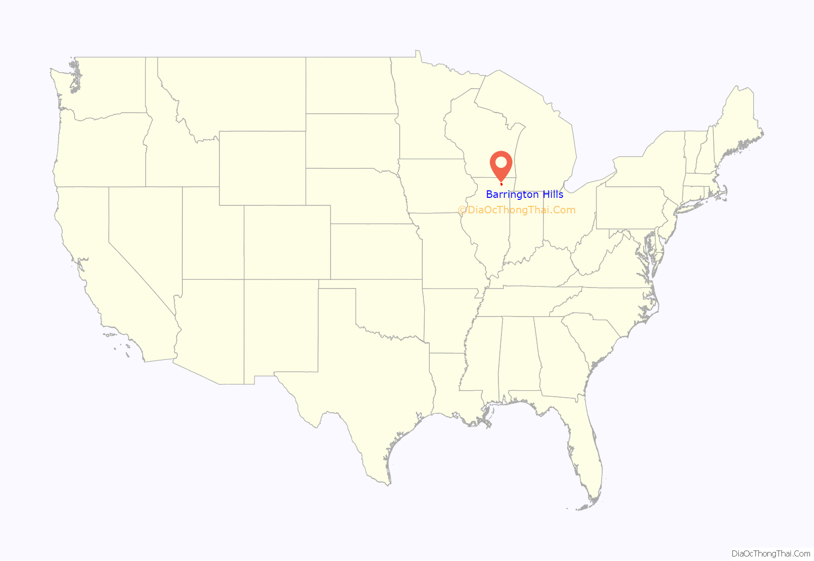
Barrington Hills location map. Where is Barrington Hills village?

History
Barrington Center Church
Barrington Center Church was built in 1853 by the Barrington Methodist Episcopal Society. A memorial plaque outside the church lists 91 area residents – one woman and 90 men – who served in the Civil War. Since the 1980s, the church building has been used by a Korean-American congregation, the New Friends Wesleyan Church.
In 1860, about 18 immigrant families of Czech ancestry settled along the east side of the Fox River, near the future site of Fox River Grove. In 1867, land was purchased at the southwest corner of Church and River – Algonquin roads, and construction was started on St. John Nepomucene Chapel, named after the patron saint of Bohemia. Completed in 1873, the chapel was never served by its own priest, and currently services are scheduled only once a year. The chapel and its cemetery are owned by the St. John Nepomucene Catholic Cemetery Association, making it the only privately owned Catholic chapel and cemetery in the Rockford Diocese.
Railroad and gentleman farms
Starting about 1900, business executives from Chicago, many of whom were tied to the railroad industry, purchased the rolling farms and subdivided them into large summer estates. One such individual was Spencer C. Otis, who by 1910 is credited with purchasing 1,000 acres (405 ha) of farmland along what was then Goose Lake Road but is now known as Otis Road and creating Hawthorne Farm. Otis was a “gentleman farmer” of the era. He worked in Chicago commerce, but his hobby was dairy farming on his large country estate. Several of his business associates, including George E. Van Hagen, also built large estates in the area and ran their summer homes as year-round dairy farms.
Barrington Hills Country Club
In 1921, the Barrington Hills Country Club, with its eighteen-hole golf course, was established on 200 acres (81 ha) of unfarmable land between County Line Road, Oak Knoll Road, and Northwest Highway. The land was donated by three of the club’s early founders: H. Stillson Hart, who owned the farmstead known as Hart Hills just to the east of the club; George E. Van Hagen of Wakefield Farm, who owned the land just to the west of the club; and J.R. Cardwell, whose Oak Knoll Farm swelled along the winding Oak Knoll Road on the club’s northern end. Van Hagen became the club’s first president. Noted Chicago architect Robert Work, who was associated with David Adler, designed the first clubhouse, which was opened in 1926 and burned to the ground in 1930. Work designed the second clubhouse as well, which opened in 1931 and still stands.
Barrington Hills Road Map

Barrington Hills city Satellite Map

Geography
Barrington Hills is located at 42°08′24″N 88°12′12″W / 42.14000°N 88.20333°W / 42.14000; -88.20333 (42.1399063, -88.2034182).
According to the 2021 census gazetteer files, Barrington Hills has a total area of 27.62 square miles (71.54 km), of which 27.01 square miles (69.96 km) (or 97.77%) is land and 0.62 square miles (1.61 km) (or 2.23%) is water. The village is located within the Fox River watershed of the greater Illinois River waterway. There is about 1,700 feet (520 m) of shoreline along the east bank of the Fox River. Locally there are two perennial stream courses known to the west as Spring Creek and to the east as Flint Creek. Over the years, Flint Creek has been impounded such that along its course in the Cook County portion of the village are substantial lakes with such names as Hawley, Hawthorne, and Keene.
Into the 1990s, farmers still worked about 3,000 acres (1,200 ha) of land. Residential properties of over 1-acre (0.40 ha) covered 30 percent. There is no downtown center, but the village has a small shopping strip along Route 14. With a population of 4,209 in 2010, Barrington Hills has kept its rural flavor as industrial and commercial development has sprung up around its borders.
The village is bordered on the west by East Dundee, Carpentersville, and Algonquin; on the north by Fox River Grove, and Lake Barrington; on the east by Barrington and Inverness; and to the south and southeast by South Barrington, and Hoffman Estates. Barrington Hills is one of only three municipalities in Illinois (along with Aurora and Centralia) with land located among four counties.
See also
Map of Illinois State and its subdivision:- Adams
- Alexander
- Bond
- Boone
- Brown
- Bureau
- Calhoun
- Carroll
- Cass
- Champaign
- Christian
- Clark
- Clay
- Clinton
- Coles
- Cook
- Crawford
- Cumberland
- De Kalb
- De Witt
- Douglas
- Dupage
- Edgar
- Edwards
- Effingham
- Fayette
- Ford
- Franklin
- Fulton
- Gallatin
- Greene
- Grundy
- Hamilton
- Hancock
- Hardin
- Henderson
- Henry
- Iroquois
- Jackson
- Jasper
- Jefferson
- Jersey
- Jo Daviess
- Johnson
- Kane
- Kankakee
- Kendall
- Knox
- La Salle
- Lake
- Lake Michigan
- Lawrence
- Lee
- Livingston
- Logan
- Macon
- Macoupin
- Madison
- Marion
- Marshall
- Mason
- Massac
- McDonough
- McHenry
- McLean
- Menard
- Mercer
- Monroe
- Montgomery
- Morgan
- Moultrie
- Ogle
- Peoria
- Perry
- Piatt
- Pike
- Pope
- Pulaski
- Putnam
- Randolph
- Richland
- Rock Island
- Saint Clair
- Saline
- Sangamon
- Schuyler
- Scott
- Shelby
- Stark
- Stephenson
- Tazewell
- Union
- Vermilion
- Wabash
- Warren
- Washington
- Wayne
- White
- Whiteside
- Will
- Williamson
- Winnebago
- Woodford
- Alabama
- Alaska
- Arizona
- Arkansas
- California
- Colorado
- Connecticut
- Delaware
- District of Columbia
- Florida
- Georgia
- Hawaii
- Idaho
- Illinois
- Indiana
- Iowa
- Kansas
- Kentucky
- Louisiana
- Maine
- Maryland
- Massachusetts
- Michigan
- Minnesota
- Mississippi
- Missouri
- Montana
- Nebraska
- Nevada
- New Hampshire
- New Jersey
- New Mexico
- New York
- North Carolina
- North Dakota
- Ohio
- Oklahoma
- Oregon
- Pennsylvania
- Rhode Island
- South Carolina
- South Dakota
- Tennessee
- Texas
- Utah
- Vermont
- Virginia
- Washington
- West Virginia
- Wisconsin
- Wyoming


