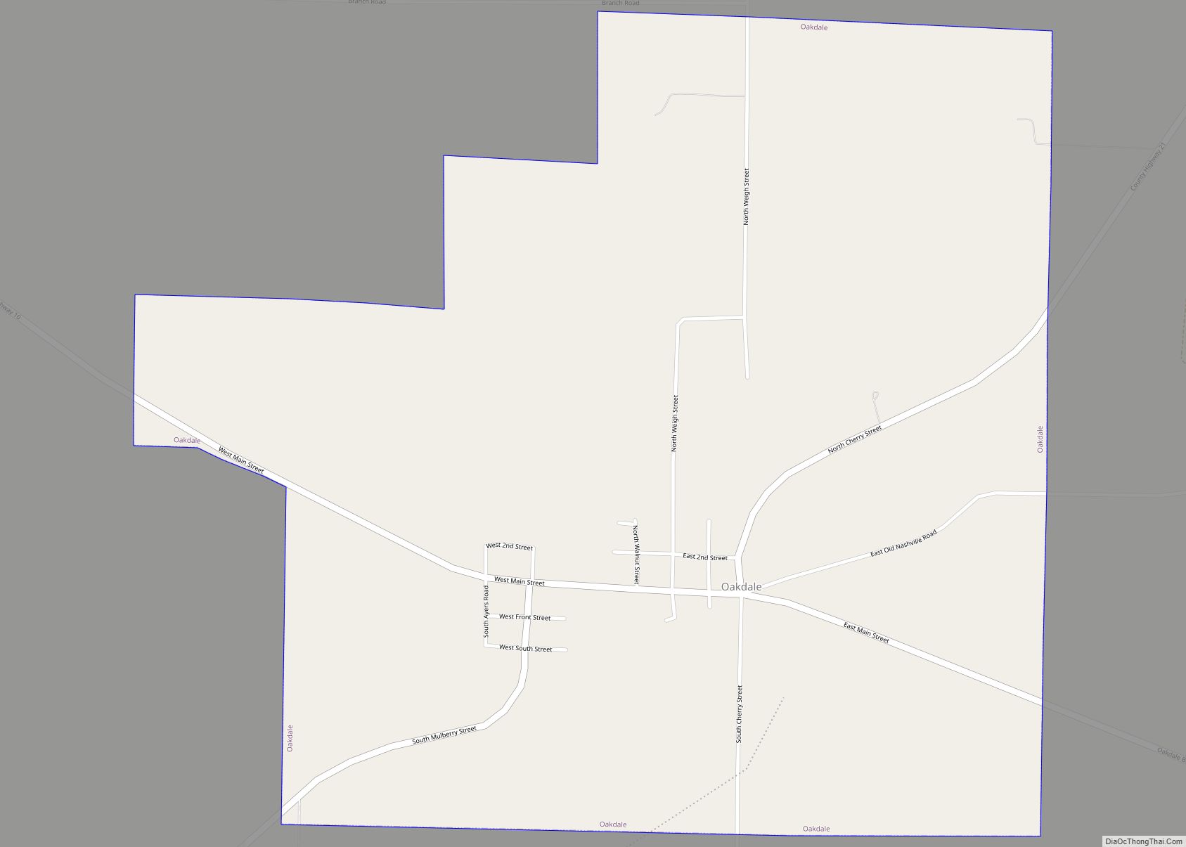
Oakdale is a village in Washington County, Illinois, United States. The population was 221 at the 2010 census. Oakdale village overview: Name: Oakdale village LSAD Code: 47 LSAD Description: village (suffix) State: Illinois County: Washington County Elevation: 518 ft (158 m) Total Area: 1.58 sq mi (4.10 km²) Land Area: 1.58 sq mi (4.10 km²) Water Area: 0.00 sq mi (0.00 km²) Total Population: 199 Population ... Read more
Illinois Cities and Places
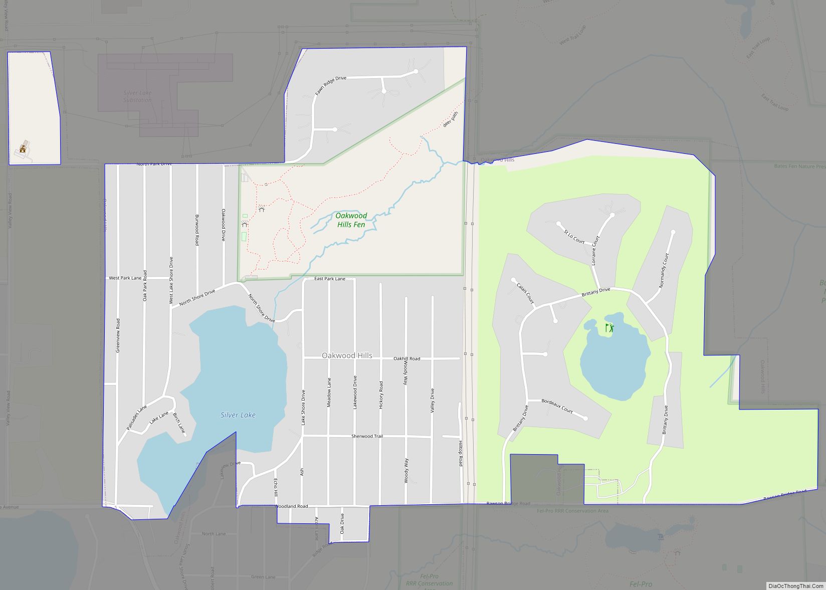
Oakwood Hills is a village in McHenry County, Illinois, United States. It was founded in 1959. The population was 2,076 at the 2020 census. Oakwood Hills village overview: Name: Oakwood Hills village LSAD Code: 47 LSAD Description: village (suffix) State: Illinois County: McHenry County Founded: 1959 Elevation: 825 ft (251 m) Total Area: 1.17 sq mi (3.04 km²) Land Area: ... Read more
Oakland is a city in Coles County, Illinois, United States. The population was 739 at the 2020 census. Oakland city overview: Name: Oakland city LSAD Code: 25 LSAD Description: city (suffix) State: Illinois County: Coles County Elevation: 659 ft (201 m) Total Area: 0.82 sq mi (2.12 km²) Land Area: 0.78 sq mi (2.03 km²) Water Area: 0.04 sq mi (0.09 km²) Total Population: 739 Population ... Read more
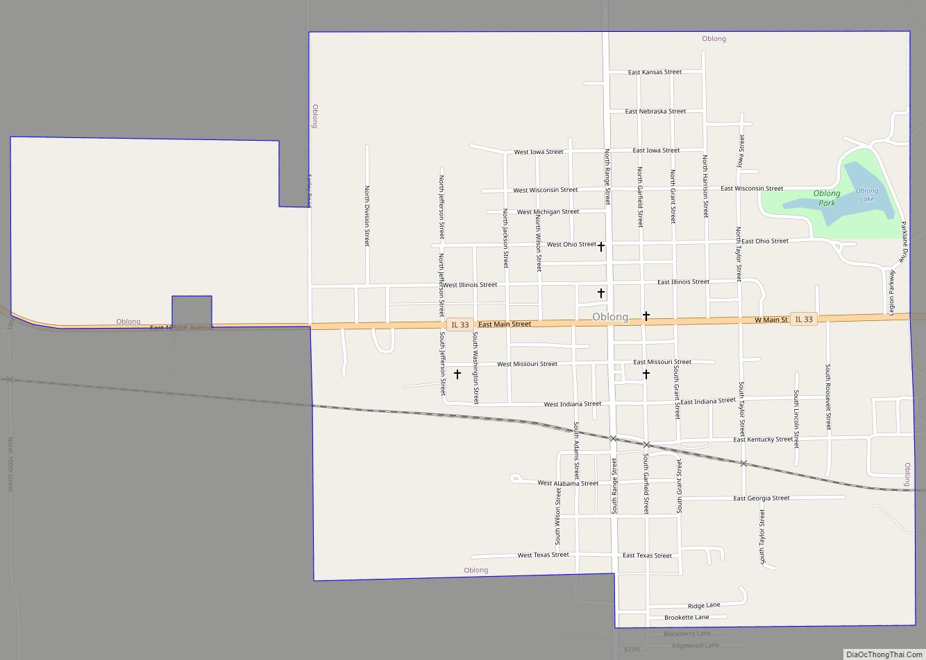
Oblong is a village in Crawford County, Illinois, United States. The population was 1,466 at the 2010 census, and then was later recorded to be 1,371 in the 2020 census. Oblong village overview: Name: Oblong village LSAD Code: 47 LSAD Description: village (suffix) State: Illinois County: Crawford County Elevation: 512 ft (156 m) Total Area: 1.09 sq mi (2.83 km²) ... Read more
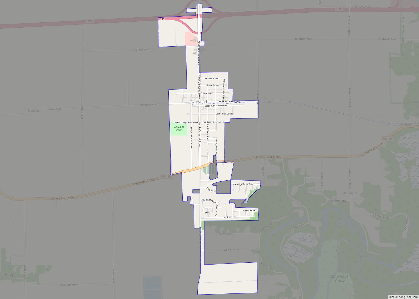
Oakwood is a village in Oakwood Township, Vermilion County, Illinois, United States. It is part of the Danville, Illinois Metropolitan Statistical Area. The population was 1,595 at the 2010 census, and 1,507 in 2018. Oakwood village overview: Name: Oakwood village LSAD Code: 47 LSAD Description: village (suffix) State: Illinois County: Vermilion County Elevation: 640 ft (200 m) ... Read more
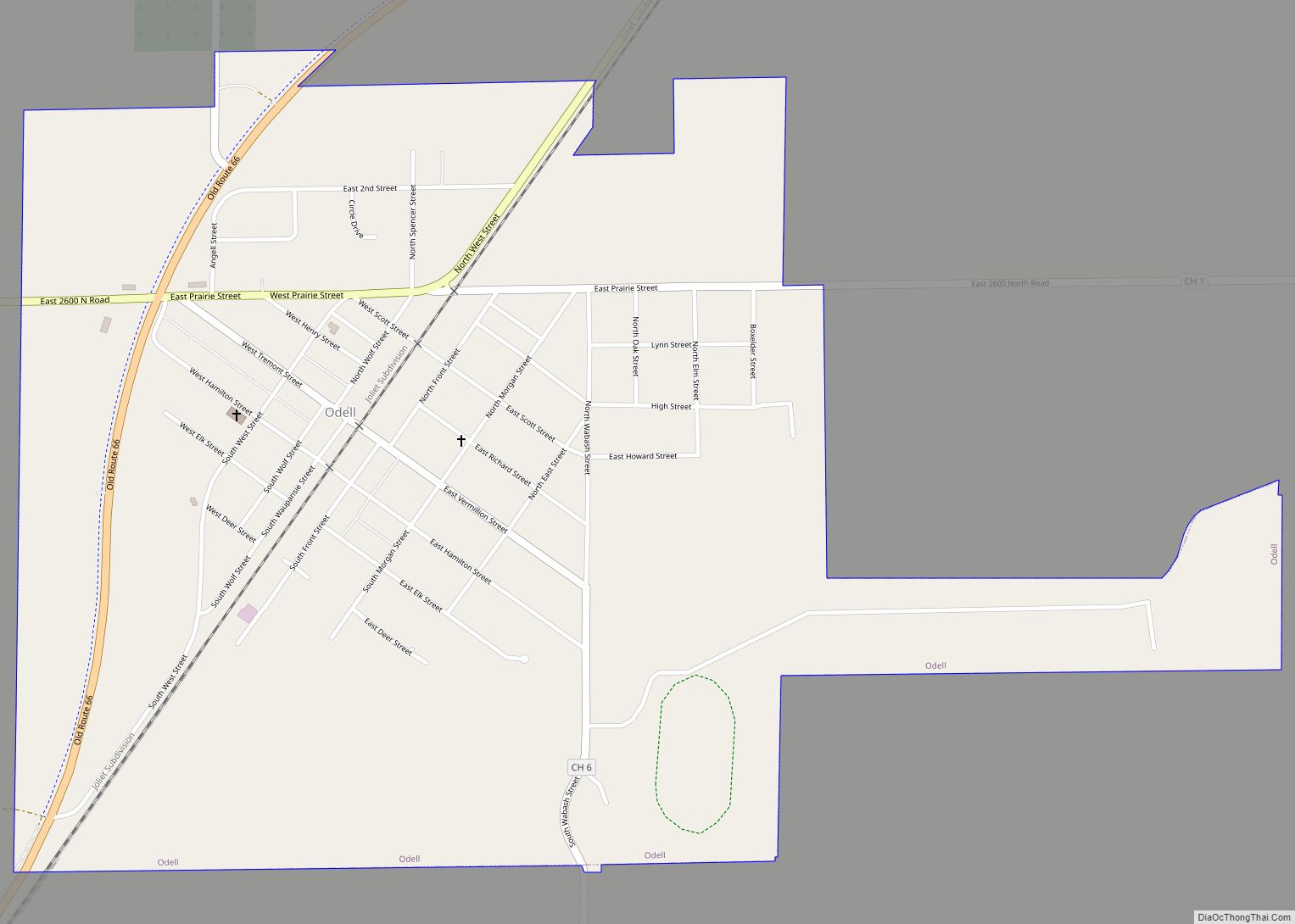
Odell is a village in Livingston County, Illinois, United States. The population was 1,046 at the 2010 census. Odell village overview: Name: Odell village LSAD Code: 47 LSAD Description: village (suffix) State: Illinois County: Livingston County Elevation: 713 ft (217 m) Total Area: 1.09 sq mi (2.83 km²) Land Area: 1.08 sq mi (2.79 km²) Water Area: 0.02 sq mi (0.04 km²) Total Population: 1,003 Population ... Read more
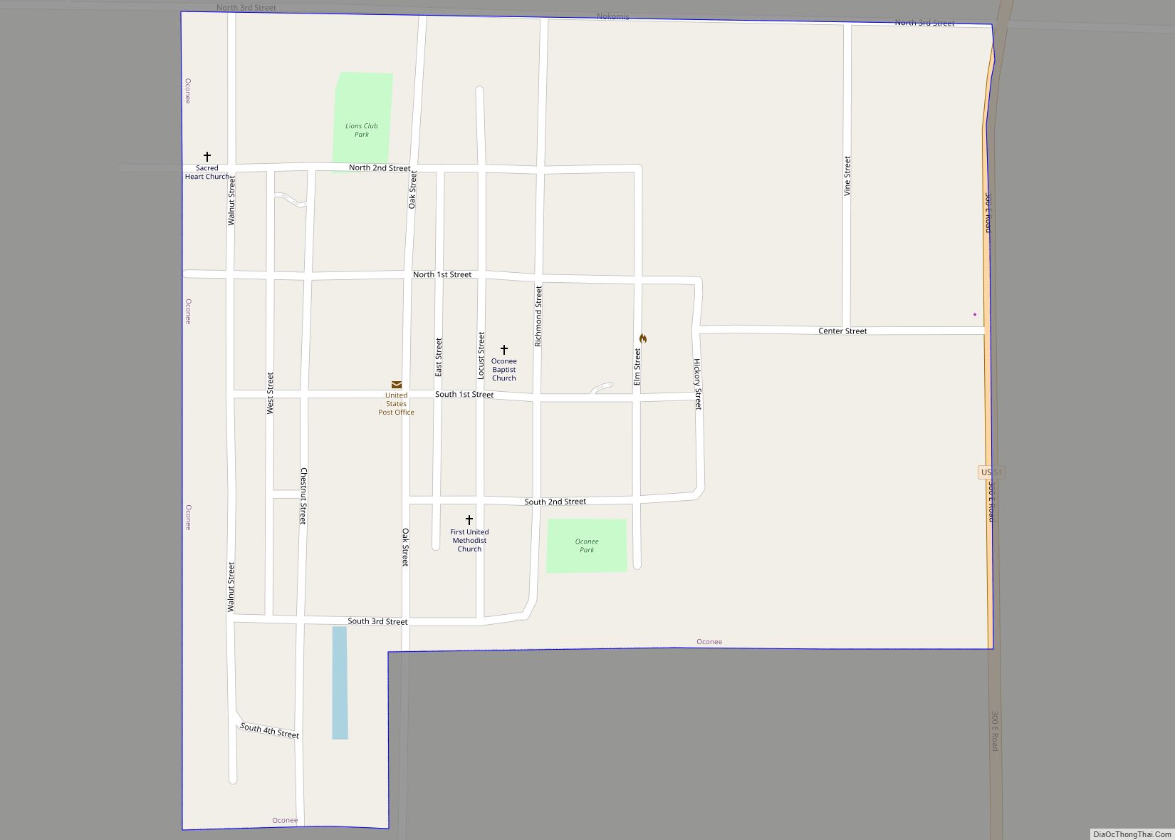
Oconee is a village in Shelby County, Illinois, United States. The population was 777 at the 2010 census. The village was named after the daughter of a local Native American chieftain. Oconee village overview: Name: Oconee village LSAD Code: 47 LSAD Description: village (suffix) State: Illinois County: Shelby County Elevation: 666 ft (203 m) Total Area: 0.36 sq mi ... Read more
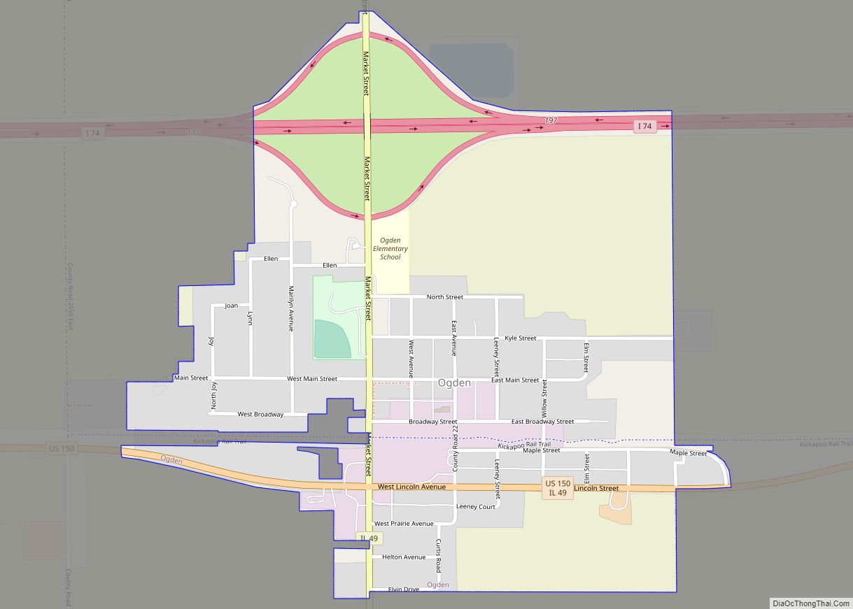
Ogden is a village in Champaign County, Illinois, United States. At the time of the 2020 census, the population was 729. Ogden village overview: Name: Ogden village LSAD Code: 47 LSAD Description: village (suffix) State: Illinois County: Champaign County Founded: 1870 Elevation: 671 ft (205 m) Total Area: 0.59 sq mi (1.52 km²) Land Area: 0.59 sq mi (1.52 km²) Water Area: 0.00 sq mi ... Read more
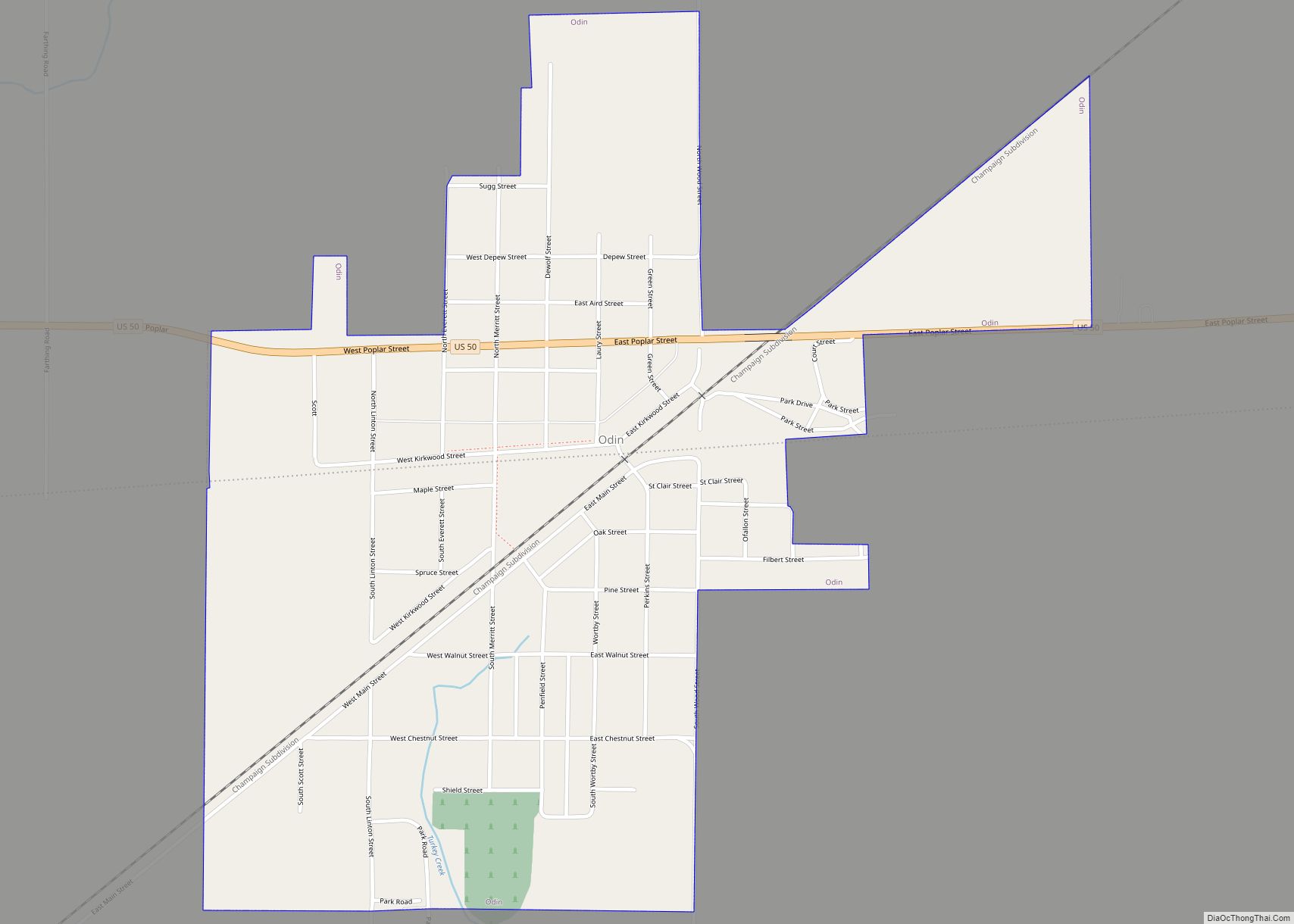
Odin is a village in Marion County, Illinois, United States. The population was 935 at the 2020 census, down from 1,076 in 2010. Odin village overview: Name: Odin village LSAD Code: 47 LSAD Description: village (suffix) State: Illinois County: Marion County Elevation: 525 ft (160 m) Total Area: 1.00 sq mi (2.60 km²) Land Area: 1.00 sq mi (2.60 km²) Water Area: 0.00 sq mi ... Read more
Ohio is a village in Bureau County, Illinois, United States. The population was 465 at the 2020 census. It is part of the Ottawa Micropolitan Statistical Area. Ohio village overview: Name: Ohio village LSAD Code: 47 LSAD Description: village (suffix) State: Illinois County: Bureau County Elevation: 902.23 ft (275.00 m) Total Area: 0.753 sq mi (1.95 km²) Land Area: 0.753 sq mi ... Read more
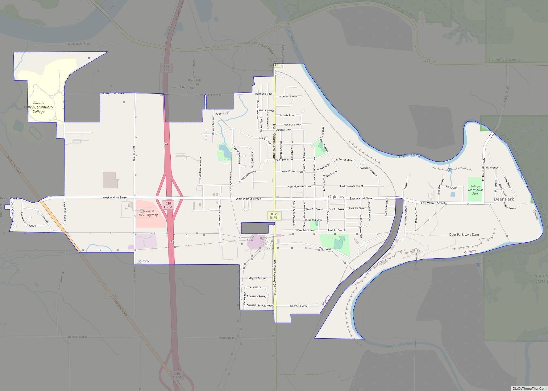
Oglesby is a city in LaSalle County, Illinois, United States. The population was 3,712 at the 2020 census, down from 3,791 at the 2010 census. It is part of the Ottawa Micropolitan Statistical Area. Oglesby city overview: Name: Oglesby city LSAD Code: 25 LSAD Description: city (suffix) State: Illinois County: LaSalle County Elevation: 637 ft (194 m) ... Read more
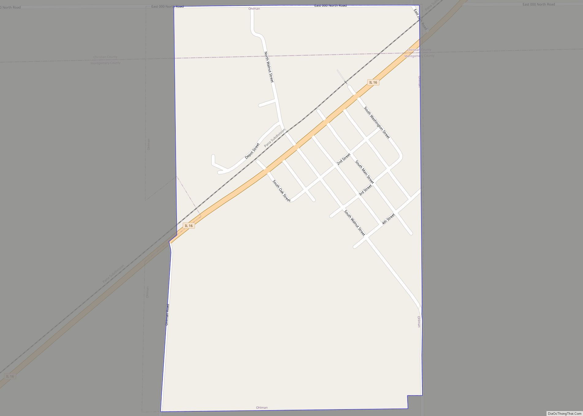
Ohlman is a village in Montgomery County, Illinois, United States. As of the 2020 census, the village had a population of 109, down from 135 in 2010. Ohlman village overview: Name: Ohlman village LSAD Code: 47 LSAD Description: village (suffix) State: Illinois County: Montgomery County Elevation: 686 ft (209 m) Total Area: 0.32 sq mi (0.83 km²) Land Area: 0.32 sq mi ... Read more
