Oakwood is a village in Oakwood Township, Vermilion County, Illinois, United States. It is part of the Danville, Illinois Metropolitan Statistical Area. The population was 1,595 at the 2010 census, and 1,507 in 2018.
| Name: | Oakwood village |
|---|---|
| LSAD Code: | 47 |
| LSAD Description: | village (suffix) |
| State: | Illinois |
| County: | Vermilion County |
| Elevation: | 640 ft (200 m) |
| Total Area: | 0.93 sq mi (2.40 km²) |
| Land Area: | 0.93 sq mi (2.40 km²) |
| Water Area: | 0.00 sq mi (0.00 km²) 0% |
| Total Population: | 1,325 |
| Population Density: | 1,427.80/sq mi (551.11/km²) |
| ZIP code: | 61858 |
| Area code: | 217 |
| FIPS code: | 1755002 |
| Website: | oakwoodil.org |
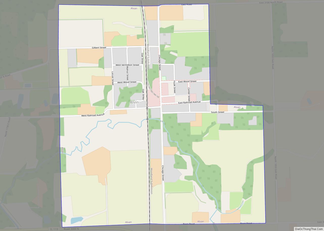
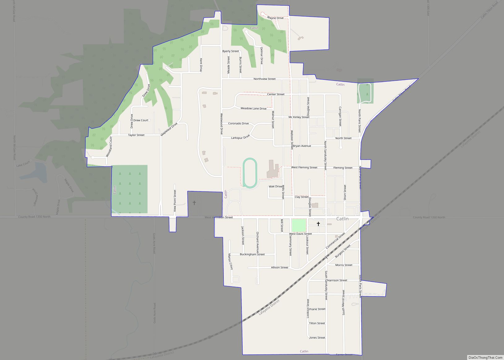
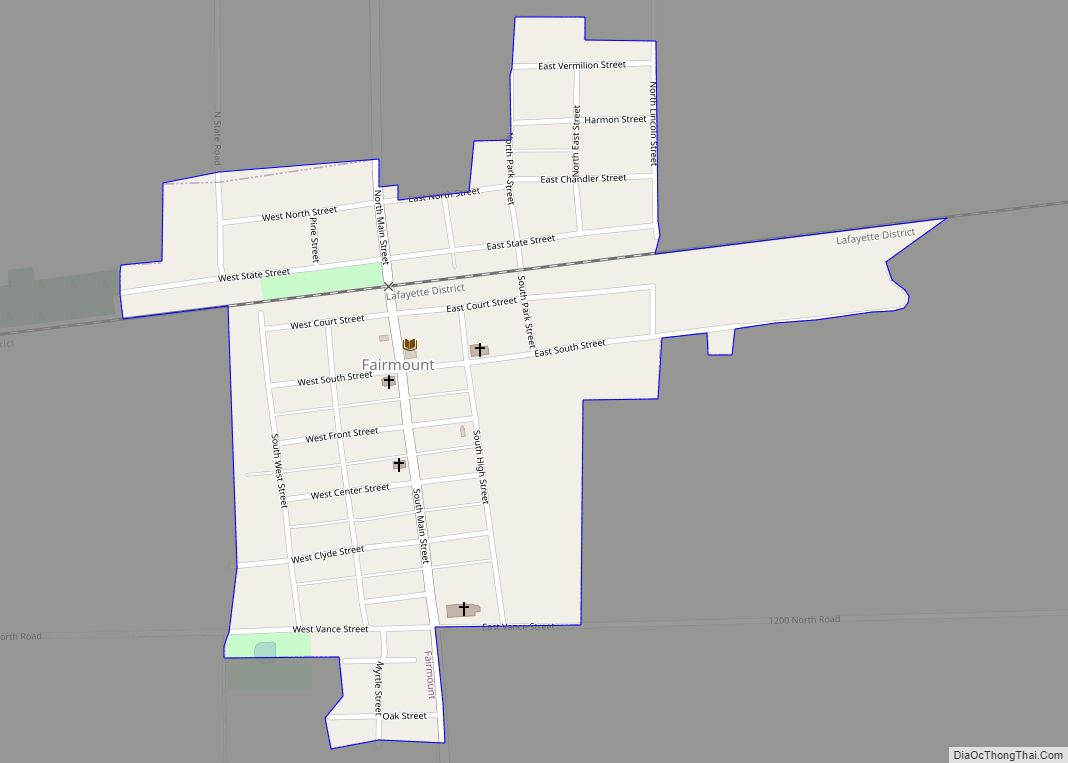
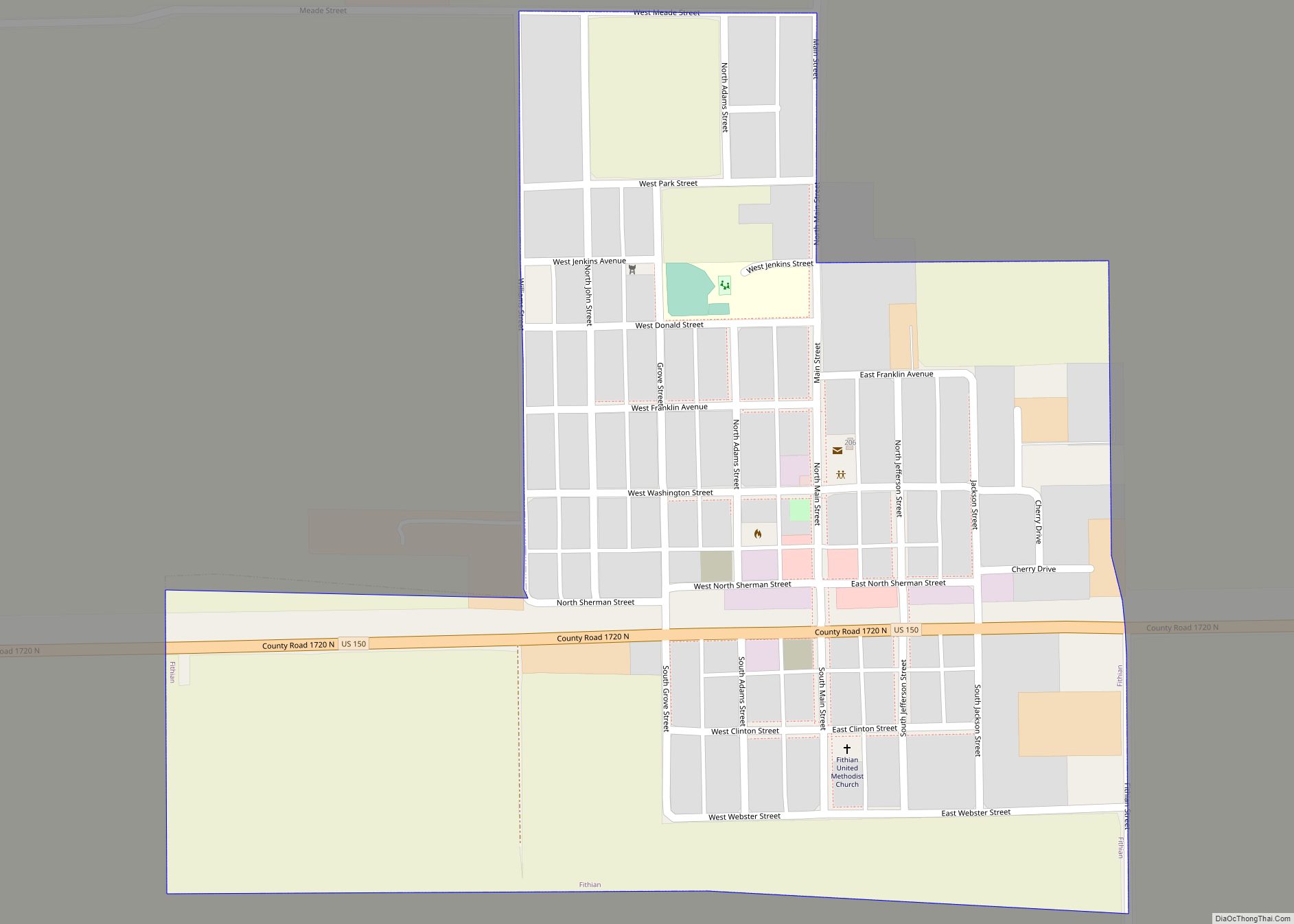
Online Interactive Map
Click on ![]() to view map in "full screen" mode.
to view map in "full screen" mode.
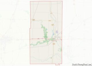
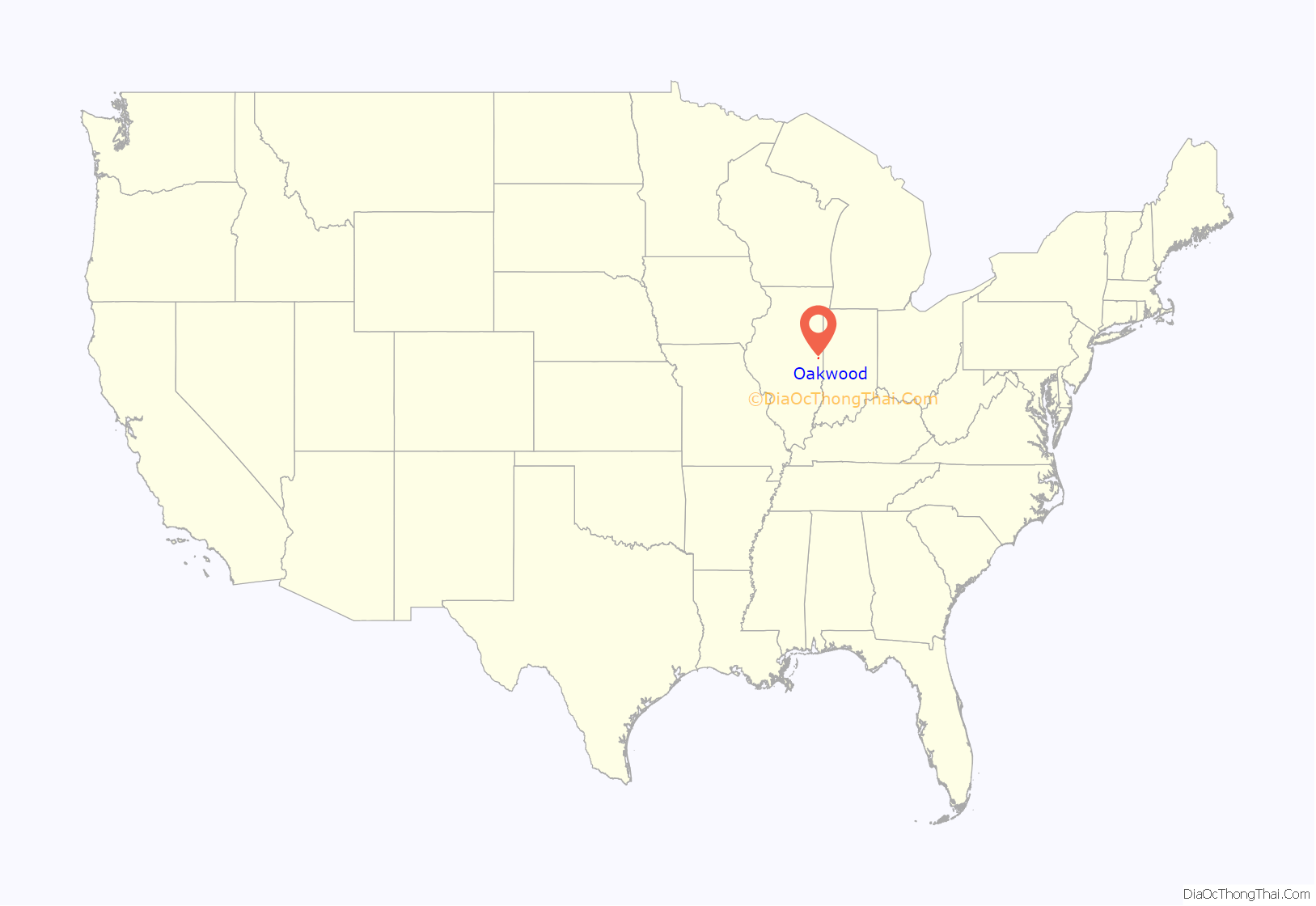
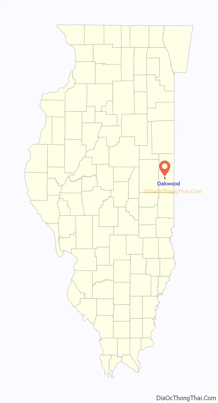
Oakwood location map. Where is Oakwood village?
History
The area where Oakwood currently is built was historically inhabited by Kickapoo and Potawatomi Native American tribe. The Potawatomi’s camp was located on the south side of Oakwood near the modern-day Lake Bluff trailer park. The Native also discovered the salts mines which would later become the start of the town’s economy. In the early 1800s, fur trappers arrived in the area and drove the Native Americans into Missouri.
On 31 October 1819 an army surveyor team arrived in the region, The Team was composed of Captain Blackman, Remember Blackman, George Beckwith, Seymour Treat, Peter Allen, and Francis Whitcomb. The Team set up camp on the north side of Salt Fork Vermilion River on the modern-day southeast corner of Oakwood, where they set up a salt mine boiling off salty water from the ground. In 1824 John W. Vance would gain control of the mine and increase production however due to competition from other mines the mine eventually shut down and people moved out.
Between 1860-1865 a coal mine was opened, the mine was called Glenburn Coal Mine located about one and a half miles to the north, eventually, the mine shut down in 1898 and at least 5 of the house moved to the current city of Oakwood.
On 30 December 1997 a pipe bomb exploded at the United Methodist Church located in the town killing Brian Plawer. The bomber named Richard White would commit another bombing in nearby Danville injuring 34 people. He would die by blowing himself up in the garage to avoid arrest.
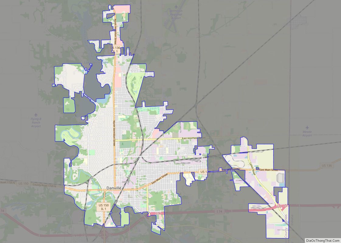
Oakwood Road Map
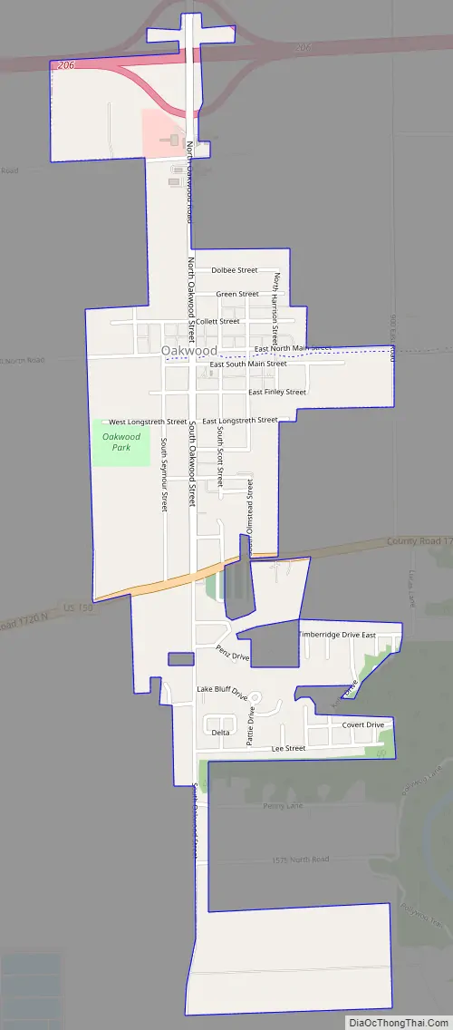
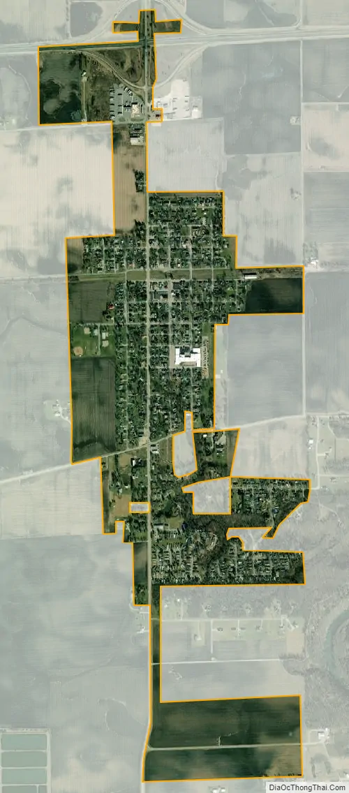
Oakwood city Satellite Map
Geography
According to the 2010 census, Oakwood has a total area of 0.93 square miles (2.41 km), all land.
See also
Map of Illinois State and its subdivision:- Adams
- Alexander
- Bond
- Boone
- Brown
- Bureau
- Calhoun
- Carroll
- Cass
- Champaign
- Christian
- Clark
- Clay
- Clinton
- Coles
- Cook
- Crawford
- Cumberland
- De Kalb
- De Witt
- Douglas
- Dupage
- Edgar
- Edwards
- Effingham
- Fayette
- Ford
- Franklin
- Fulton
- Gallatin
- Greene
- Grundy
- Hamilton
- Hancock
- Hardin
- Henderson
- Henry
- Iroquois
- Jackson
- Jasper
- Jefferson
- Jersey
- Jo Daviess
- Johnson
- Kane
- Kankakee
- Kendall
- Knox
- La Salle
- Lake
- Lake Michigan
- Lawrence
- Lee
- Livingston
- Logan
- Macon
- Macoupin
- Madison
- Marion
- Marshall
- Mason
- Massac
- McDonough
- McHenry
- McLean
- Menard
- Mercer
- Monroe
- Montgomery
- Morgan
- Moultrie
- Ogle
- Peoria
- Perry
- Piatt
- Pike
- Pope
- Pulaski
- Putnam
- Randolph
- Richland
- Rock Island
- Saint Clair
- Saline
- Sangamon
- Schuyler
- Scott
- Shelby
- Stark
- Stephenson
- Tazewell
- Union
- Vermilion
- Wabash
- Warren
- Washington
- Wayne
- White
- Whiteside
- Will
- Williamson
- Winnebago
- Woodford
- Alabama
- Alaska
- Arizona
- Arkansas
- California
- Colorado
- Connecticut
- Delaware
- District of Columbia
- Florida
- Georgia
- Hawaii
- Idaho
- Illinois
- Indiana
- Iowa
- Kansas
- Kentucky
- Louisiana
- Maine
- Maryland
- Massachusetts
- Michigan
- Minnesota
- Mississippi
- Missouri
- Montana
- Nebraska
- Nevada
- New Hampshire
- New Jersey
- New Mexico
- New York
- North Carolina
- North Dakota
- Ohio
- Oklahoma
- Oregon
- Pennsylvania
- Rhode Island
- South Carolina
- South Dakota
- Tennessee
- Texas
- Utah
- Vermont
- Virginia
- Washington
- West Virginia
- Wisconsin
- Wyoming