Ripley is a village in Brown County, Illinois, United States, located along La Moine River. The population was 53 according to the 2020 census. Ripley village overview: Name: Ripley village LSAD Code: 47 LSAD Description: village (suffix) State: Illinois County: Brown County Elevation: 541 ft (165 m) Total Area: 0.38 sq mi (0.98 km²) Land Area: 0.38 sq mi (0.98 km²) Water Area: ... Read more
Illinois Cities and Places
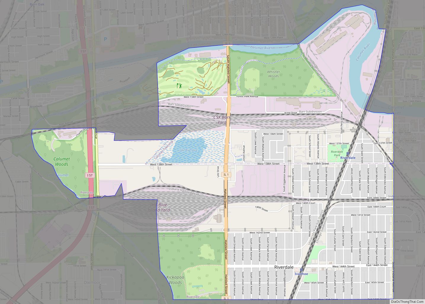
Riverdale is a village in Cook County, Illinois, United States. The population was 10,663 at the 2020 census. The village shares its name with the bordering Riverdale neighborhood in Chicago. Riverdale village overview: Name: Riverdale village LSAD Code: 47 LSAD Description: village (suffix) State: Illinois County: Cook County Total Area: 3.75 sq mi (9.71 km²) Land Area: 3.58 sq mi ... Read more
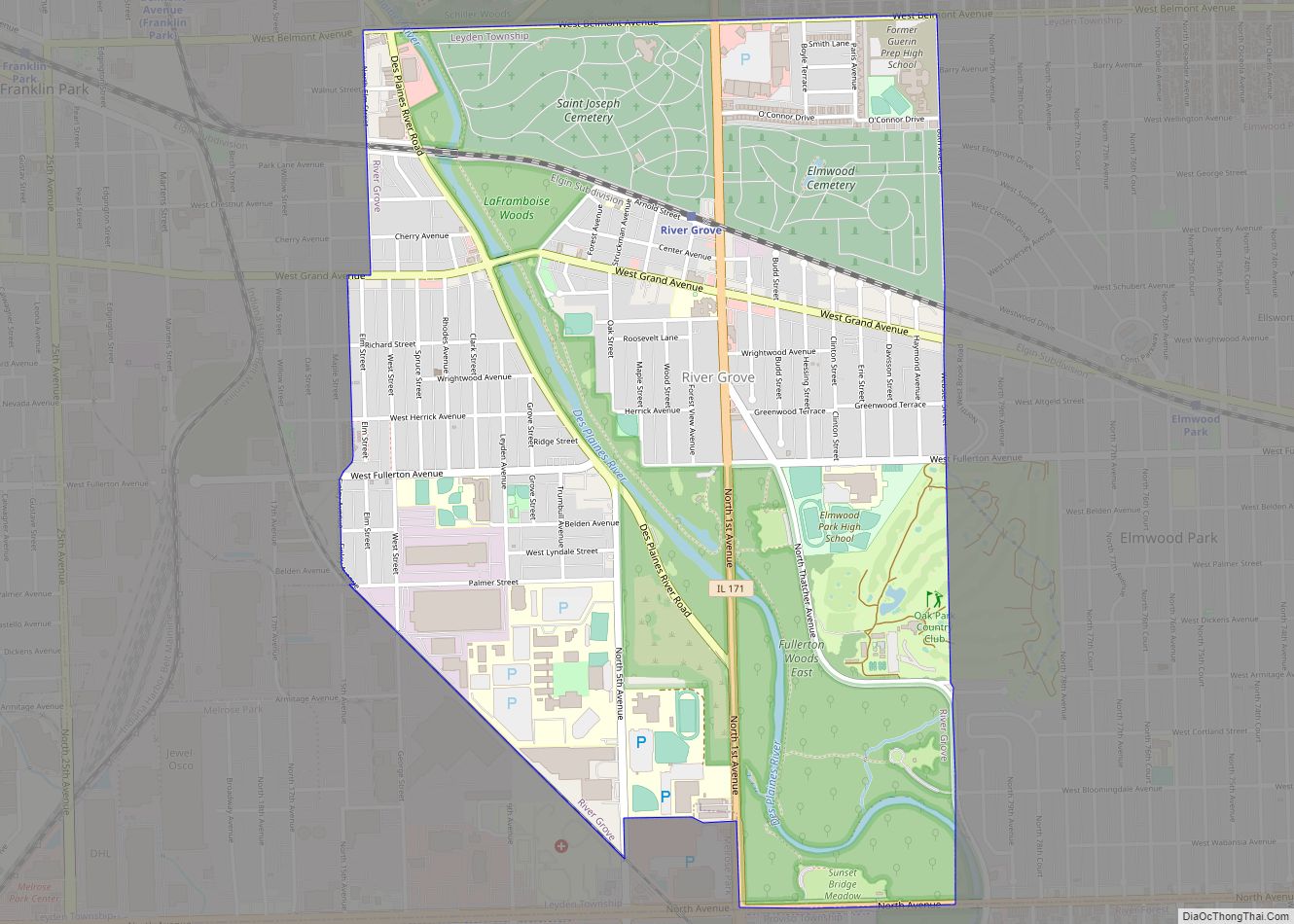
River Grove is a village in Cook County, Illinois, United States. The population was 10,612 at the 2020 census. River Grove village overview: Name: River Grove village LSAD Code: 47 LSAD Description: village (suffix) State: Illinois County: Cook County Total Area: 2.39 sq mi (6.19 km²) Land Area: 2.39 sq mi (6.19 km²) Water Area: 0.00 sq mi (0.00 km²) Total Population: 10,612 Population ... Read more
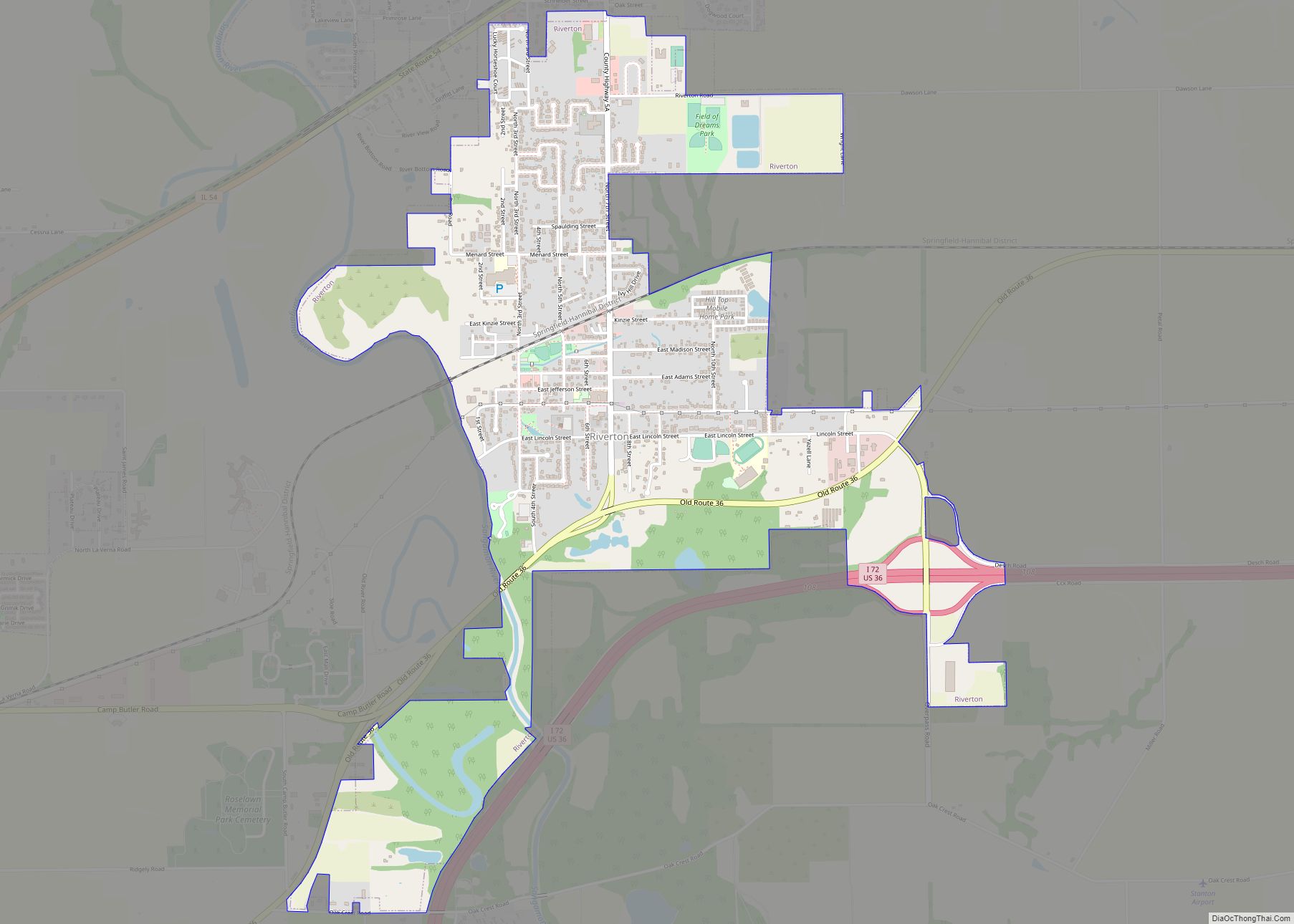
Riverton is a village in Sangamon County, Illinois, United States. The population was 3,455 at the 2010 census, up from 3,062 in 2000. It is part of the Springfield, Illinois Metropolitan Statistical Area. Riverton village overview: Name: Riverton village LSAD Code: 47 LSAD Description: village (suffix) State: Illinois County: Sangamon County Elevation: 583 ft (178 m) Total ... Read more
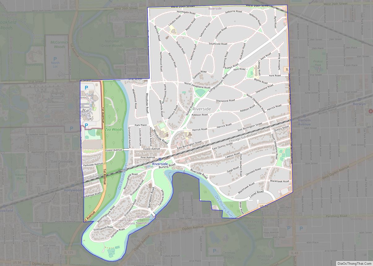
Riverside is a suburban village in Cook County, Illinois, United States. A significant portion of the village is in the Riverside Landscape Architecture District, designated a National Historic Landmark in 1970. The population of the village was 9,298 at the 2020 census, up from 8,875 at the 2010 census. It is a suburb of Chicago, ... Read more
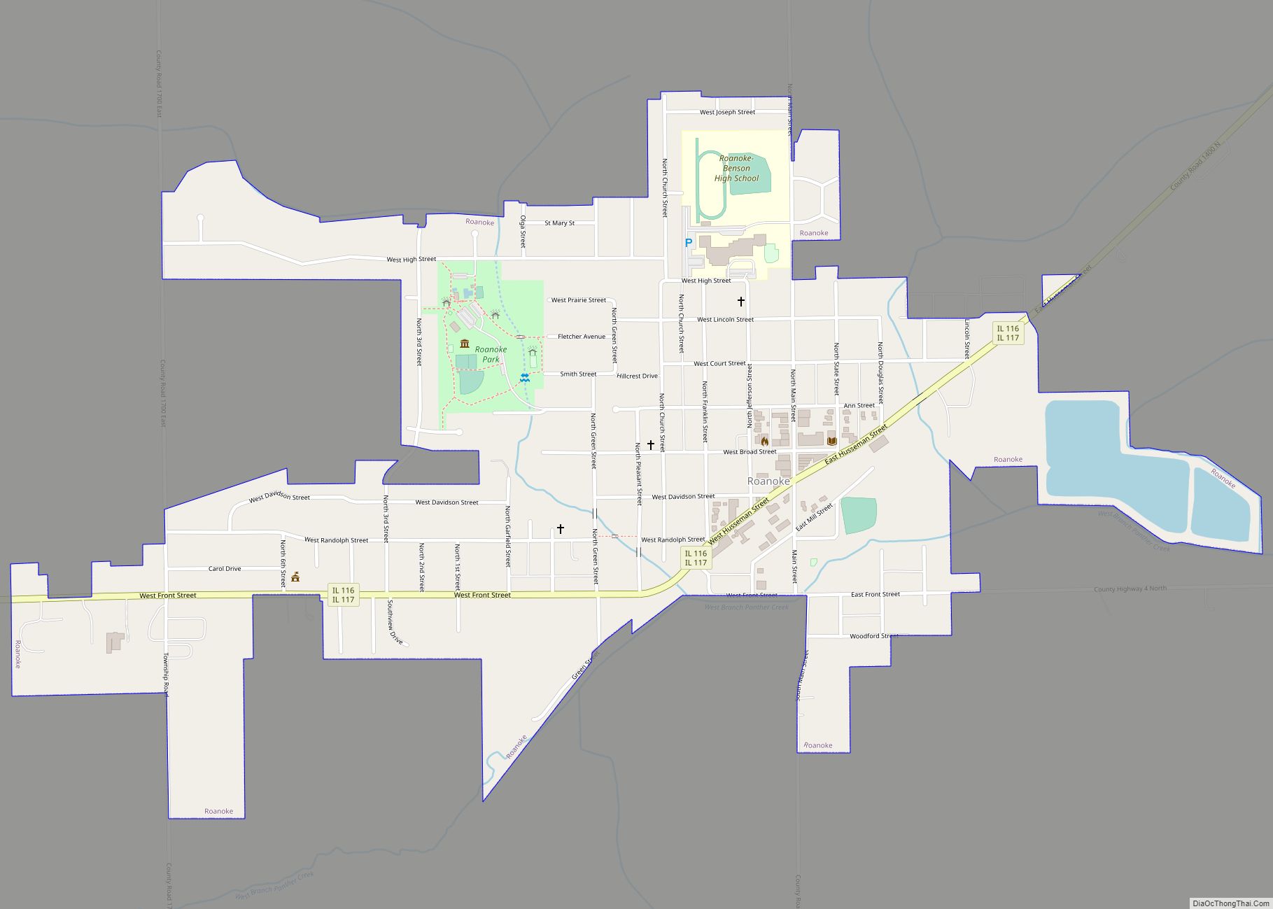
Roanoke is a village in Roanoke Township, Woodford County, Illinois, United States. The population was 2,065 at the 2010 census, up from 1,994 at the 2000 census. It is part of the Peoria, Illinois Metropolitan Statistical Area. Roanoke village overview: Name: Roanoke village LSAD Code: 47 LSAD Description: village (suffix) State: Illinois County: Woodford County ... Read more
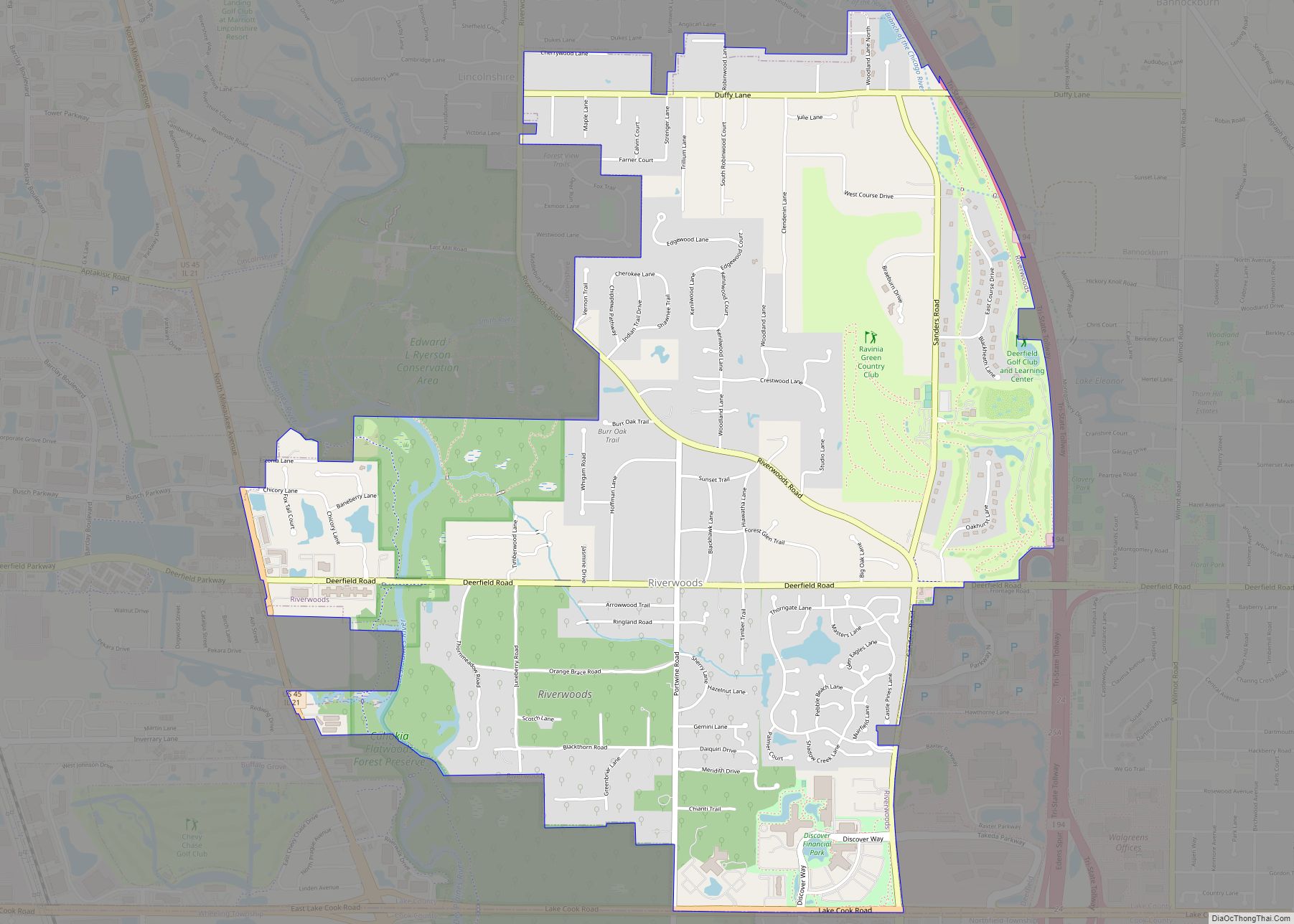
Riverwoods is a village in Lake County, Illinois, United States. It was established on the banks of the Des Plaines River in 1959 by local steel magnate Jay Peterson. Per the 2020 census, the population was 3,790. The corporate headquarters of Discover Financial and CCH are located there, as well as Orphans of the Storm, ... Read more
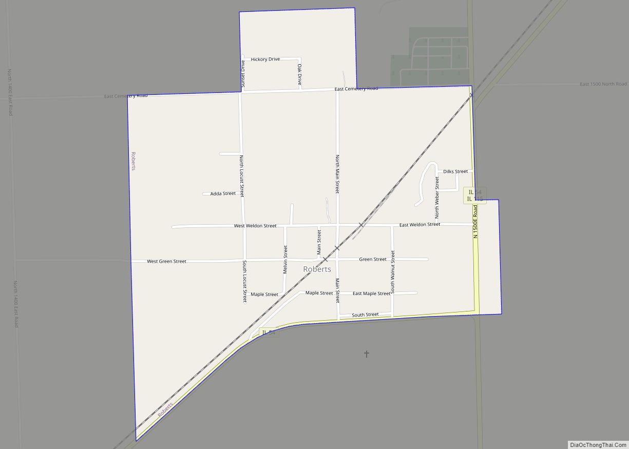
Roberts is a village in Ford County, Illinois, United States. The population was 362 at the 2010 census. Roberts village overview: Name: Roberts village LSAD Code: 47 LSAD Description: village (suffix) State: Illinois County: Ford County Elevation: 784 ft (239 m) Total Area: 0.48 sq mi (1.25 km²) Land Area: 0.48 sq mi (1.25 km²) Water Area: 0.00 sq mi (0.00 km²) Total Population: 345 Population ... Read more
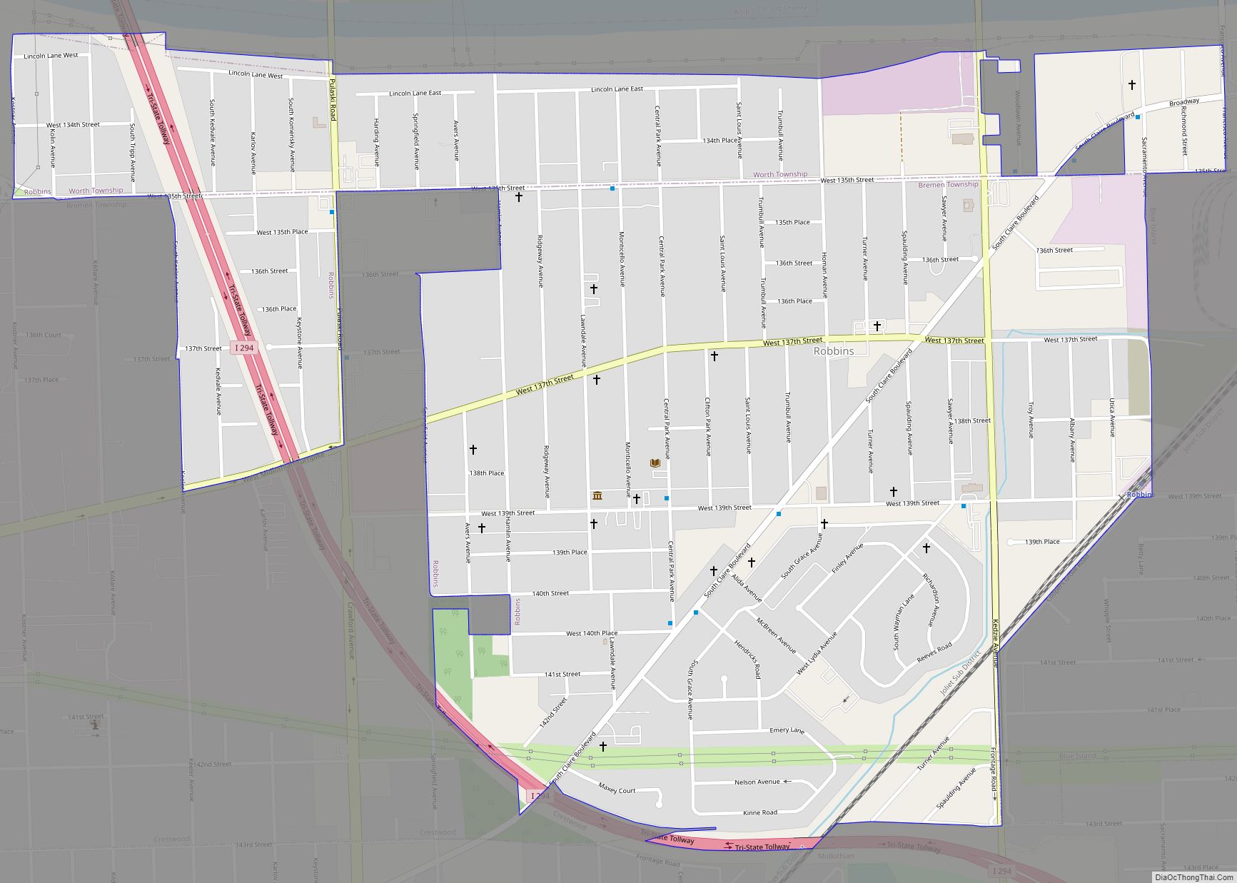
Robbins is a village southwest of Chicago in Cook County, Illinois, United States. The population was 4,629 at the 2020 census. Darren E. Bryant is the current mayor of Robbins. It is the second oldest Black incorporated town in the north following Brooklyn, Illinois and was home to the country’s first black-owned airport. Robbins village ... Read more
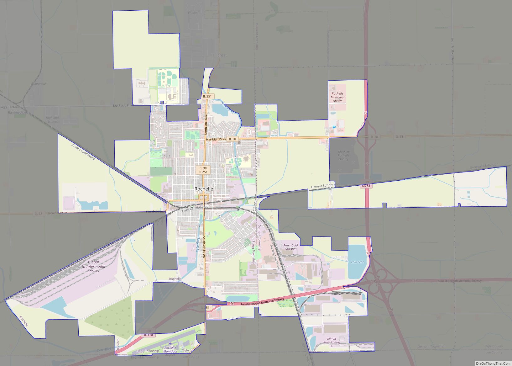
Rochelle is a city in Ogle County, Illinois. The population was 9,446 at the 2020 census. Rochelle is approximately 80 miles (130 km) west of Chicago and 25 miles (40 km) south of Rockford. Rochelle city overview: Name: Rochelle city LSAD Code: 25 LSAD Description: city (suffix) State: Illinois County: Lee County, Ogle County Elevation: 823 ft (251 m) ... Read more
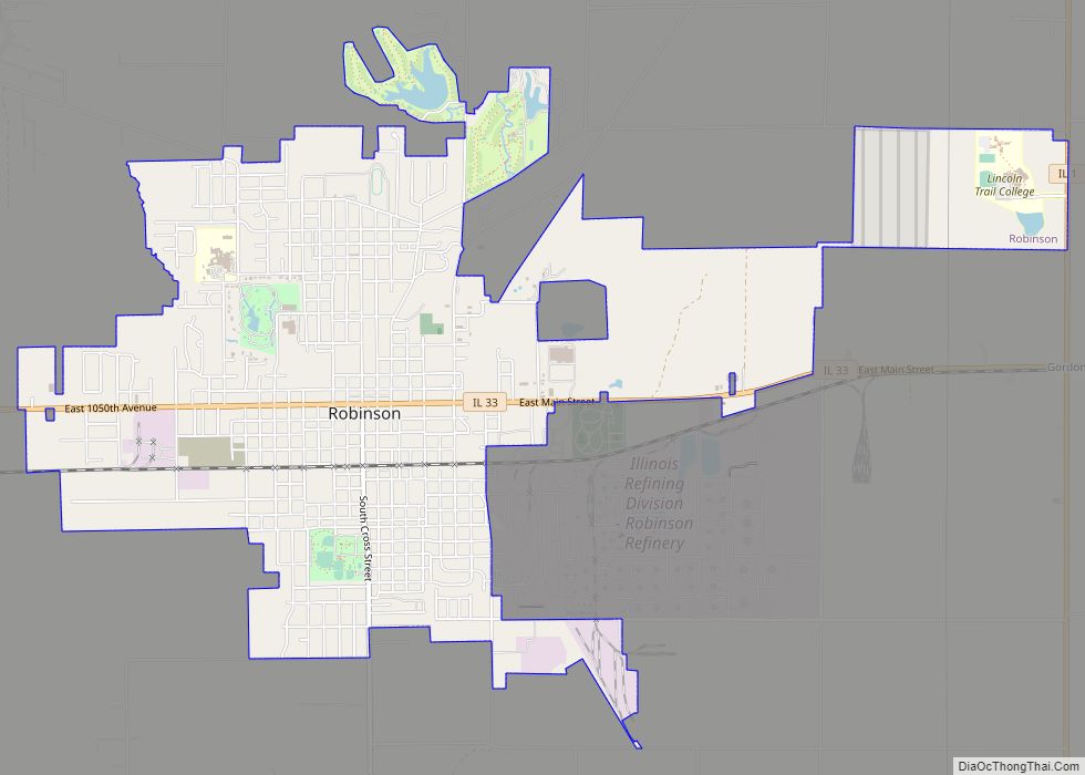
Robinson is a city in and the county seat of Crawford County, Illinois, United States. The population was 7,150 at the 2020 census, down from 7,713 at the 2010 census. Robinson city overview: Name: Robinson city LSAD Code: 25 LSAD Description: city (suffix) State: Illinois County: Crawford County Elevation: 525 ft (160 m) Total Area: 4.76 sq mi (12.33 km²) ... Read more
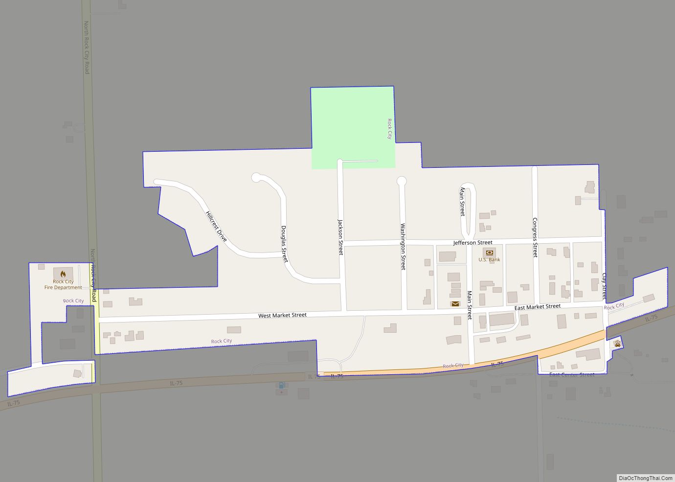
Rock City is a village in Stephenson County, Illinois. The population was 315 at the 2010 census, up from 313 in 2000. Rock City village overview: Name: Rock City village LSAD Code: 47 LSAD Description: village (suffix) State: Illinois County: Stephenson County Founded: 1859 Elevation: 909 ft (277 m) Total Area: 0.13 sq mi (0.35 km²) Land Area: 0.13 sq mi (0.35 km²) ... Read more

