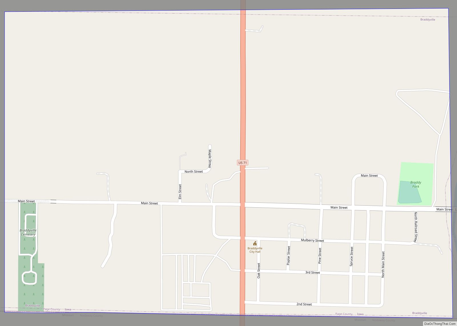
Braddyville is a city in Page County, Iowa, United States. The population was 147 at the 2020 census. Braddyville city overview: Name: Braddyville city LSAD Code: 25 LSAD Description: city (suffix) State: Iowa County: Page County Elevation: 984 ft (300 m) Total Area: 0.56 sq mi (1.45 km²) Land Area: 0.56 sq mi (1.45 km²) Water Area: 0.00 sq mi (0.00 km²) Total Population: 147 Population ... Read more
Iowa Cities and Places
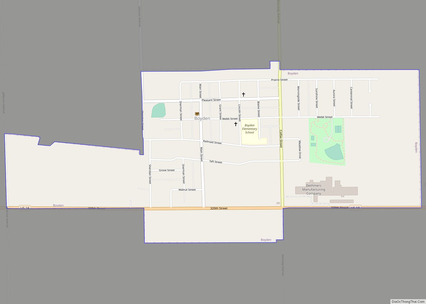
Boyden is a city in Sioux County, Iowa, United States. The population was 701 at the 2020 census. Boyden city overview: Name: Boyden city LSAD Code: 25 LSAD Description: city (suffix) State: Iowa County: Sioux County Incorporated: May 24, 1889 Elevation: 1,421 ft (433 m) Total Area: 0.68 sq mi (1.77 km²) Land Area: 0.68 sq mi (1.77 km²) Water Area: 0.00 sq mi (0.00 km²) ... Read more
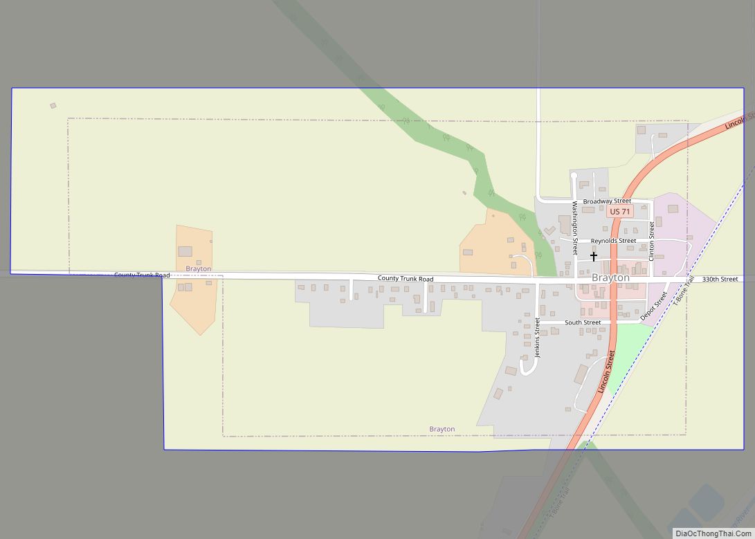
Brayton is a city in Audubon County, Iowa, United States, along the East Nishnabotna River. The population was 143 at the 2020 census. Brayton city overview: Name: Brayton city LSAD Code: 25 LSAD Description: city (suffix) State: Iowa County: Audubon County Elevation: 1,207 ft (368 m) Total Area: 0.43 sq mi (1.13 km²) Land Area: 0.43 sq mi (1.13 km²) Water Area: 0.00 sq mi ... Read more
Brandon is a city in Buchanan County, Iowa, United States. The population was 341 at the 2020 census. Brandon city overview: Name: Brandon city LSAD Code: 25 LSAD Description: city (suffix) State: Iowa County: Buchanan County Elevation: 827 ft (252 m) Total Area: 0.32 sq mi (0.84 km²) Land Area: 0.32 sq mi (0.84 km²) Water Area: 0.00 sq mi (0.00 km²) Total Population: 341 Population ... Read more
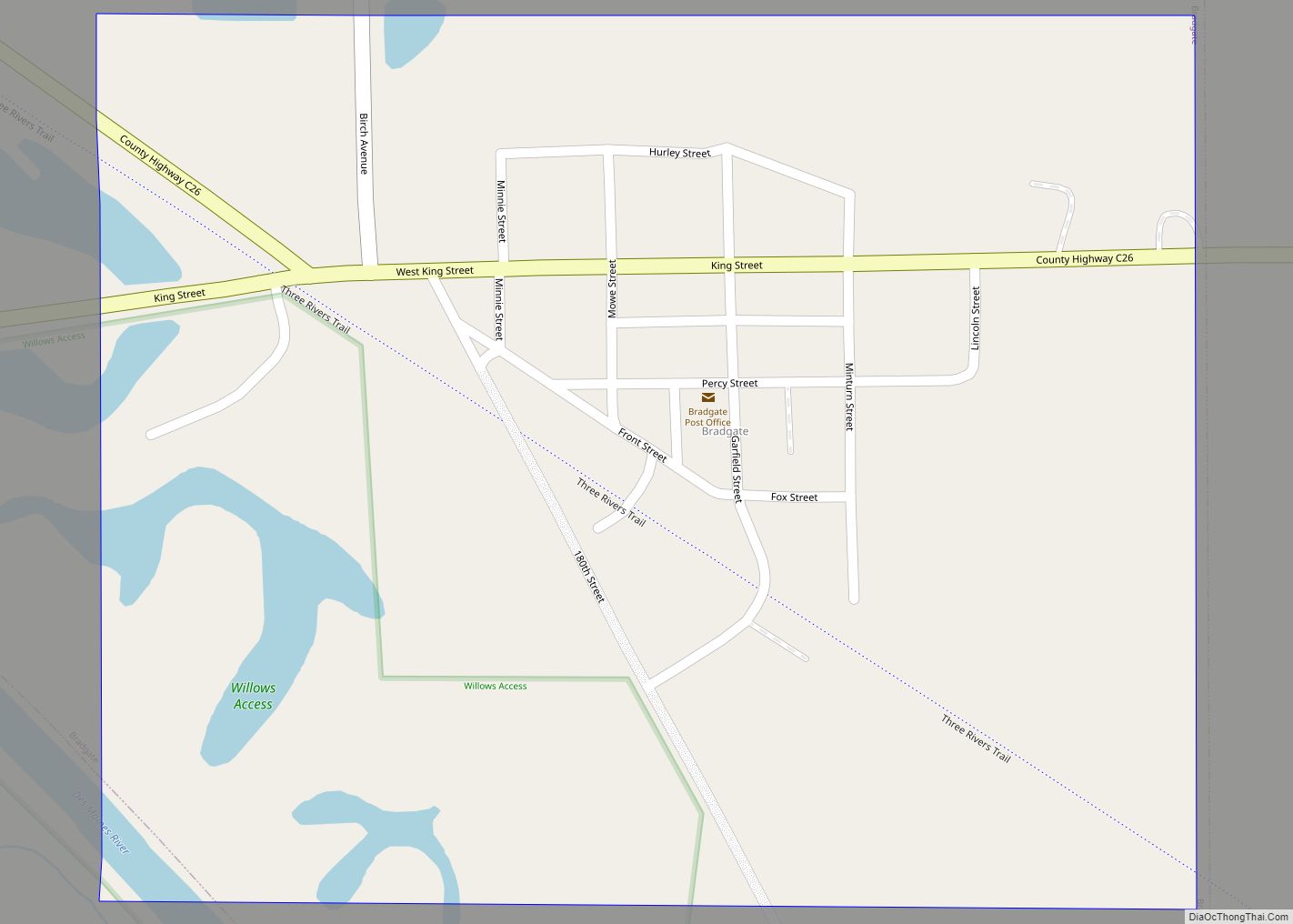
Bradgate is a city in Humboldt County, Iowa, United States, at the conjunction of Sections 5, 6, 7, and 8 of Avery Township, and rests near the banks of the West Fork of the Des Moines River. The population was 75 in the 2020 census, a decline from 101 in 2000. On May 21, 2004, ... Read more
Brighton is a city in Washington County, Iowa, United States. It’s part of the Iowa City, Iowa Metropolitan Statistical Area. The population was 600 at the 2020 census. Brighton city overview: Name: Brighton city LSAD Code: 25 LSAD Description: city (suffix) State: Iowa County: Washington County Elevation: 755 ft (230 m) Total Area: 0.78 sq mi (2.03 km²) Land Area: ... Read more
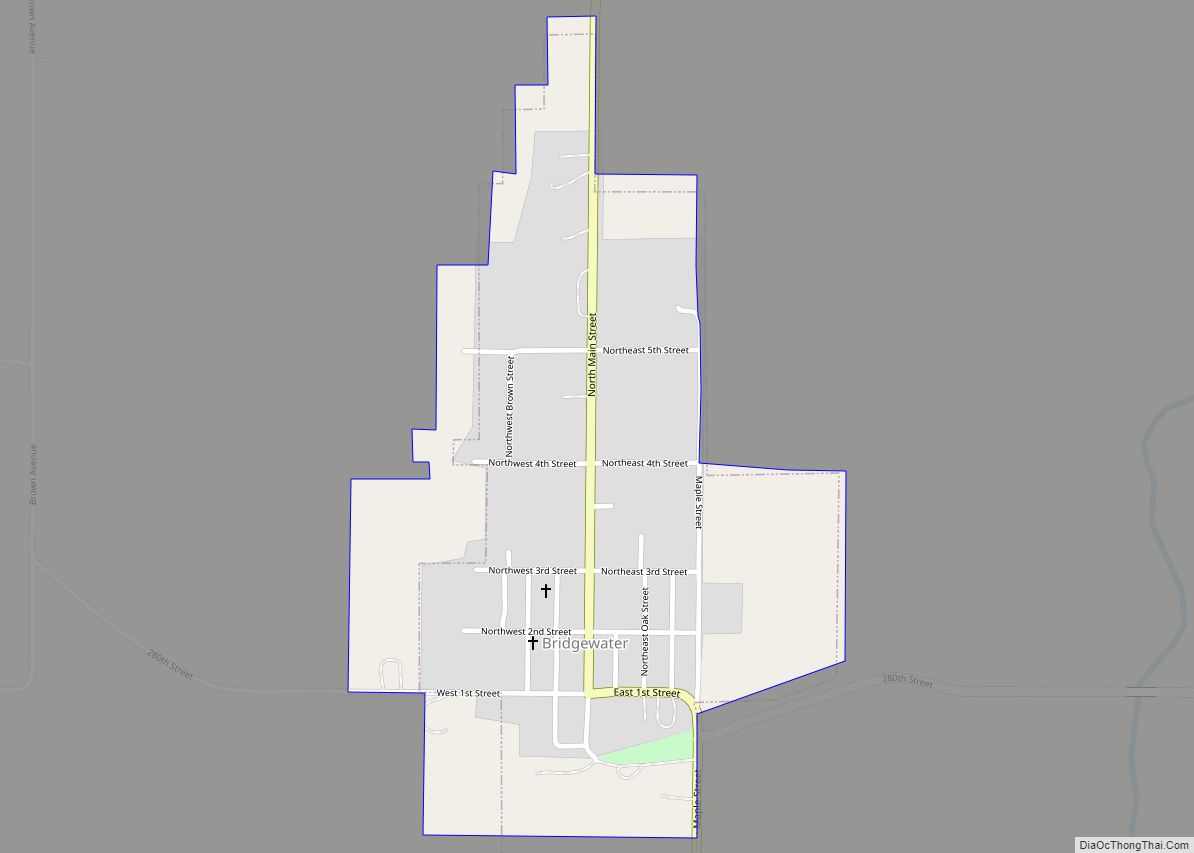
Bridgewater is a city in Jackson Township, Adair County, Iowa, United States. The population was 148 at the time of the 2020 census. Bridgewater was founded in 1885. Bridgewater city overview: Name: Bridgewater city LSAD Code: 25 LSAD Description: city (suffix) State: Iowa County: Adair County Founded: 1885 Elevation: 1,220 ft (372 m) Total Area: 0.29 sq mi (0.75 km²) ... Read more
Breda is a city in Carroll County, Iowa, United States. The population was 500 at the 2020 census. Breda city overview: Name: Breda city LSAD Code: 25 LSAD Description: city (suffix) State: Iowa County: Carroll County Elevation: 1,375 ft (419 m) Total Area: 0.74 sq mi (1.92 km²) Land Area: 0.74 sq mi (1.92 km²) Water Area: 0.00 sq mi (0.00 km²) Total Population: 500 Population ... Read more
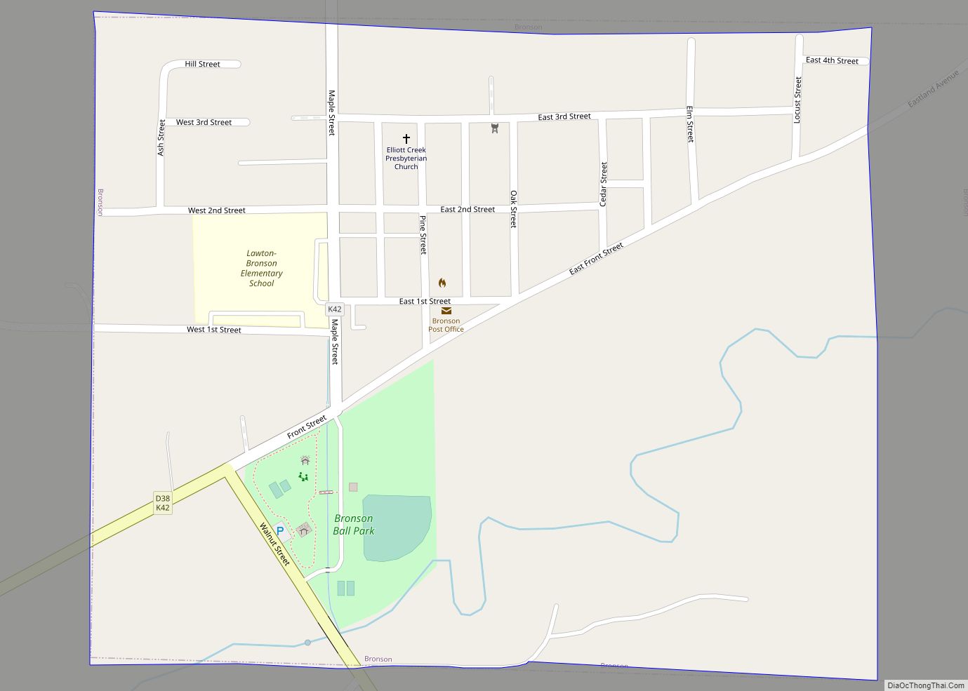
Bronson is a city in Woodbury County, Iowa, United States. It is part of the Sioux City metropolitan area. The population was 294 at the 2020 census. It celebrated its centennial in 2003. A publication was produced with some town history. Bronson city overview: Name: Bronson city LSAD Code: 25 LSAD Description: city (suffix) State: ... Read more
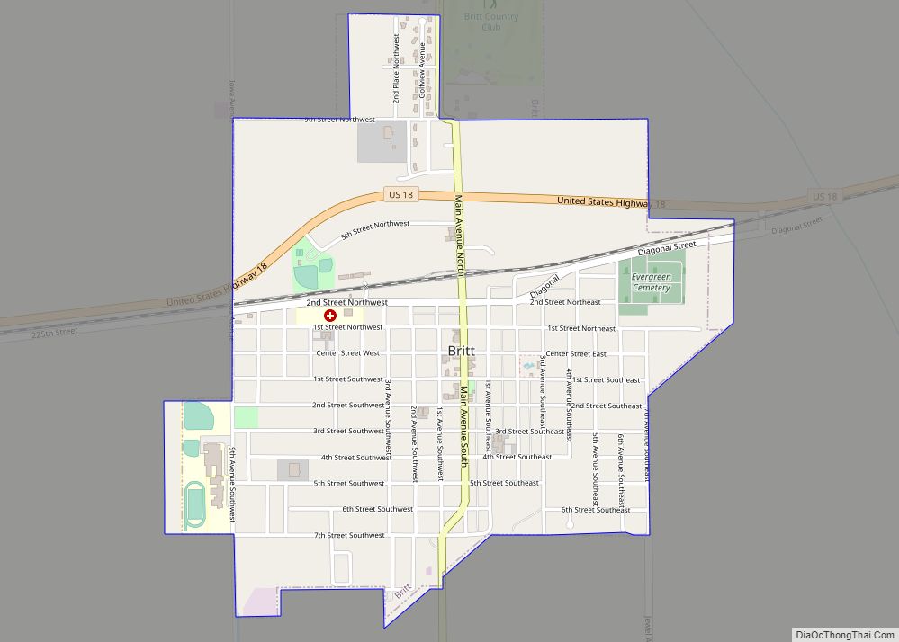
Britt is a city in Hancock County, Iowa, United States, and is the home of the National Hobo Convention and the Hobo Museum. The population was 2,044 at the 2020 census. Britt city overview: Name: Britt city LSAD Code: 25 LSAD Description: city (suffix) State: Iowa County: Hancock County Elevation: 1,227 ft (374 m) Total Area: 1.36 sq mi ... Read more
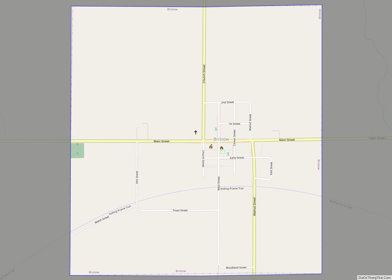
Bristow is a city in Butler County, Iowa, United States. The population was 145 at the 2020 census. Bristow city overview: Name: Bristow city LSAD Code: 25 LSAD Description: city (suffix) State: Iowa County: Butler County Elevation: 1,037 ft (316 m) Total Area: 0.94 sq mi (2.43 km²) Land Area: 0.94 sq mi (2.43 km²) Water Area: 0.00 sq mi (0.00 km²) Total Population: 145 Population ... Read more
Buck Grove is a city in Crawford County, Iowa, United States. The population was 34 at the 2020 census. Buck Grove city overview: Name: Buck Grove city LSAD Code: 25 LSAD Description: city (suffix) State: Iowa County: Crawford County Elevation: 1,263 ft (385 m) Total Area: 0.37 sq mi (0.96 km²) Land Area: 0.37 sq mi (0.96 km²) Water Area: 0.00 sq mi (0.00 km²) Total ... Read more
