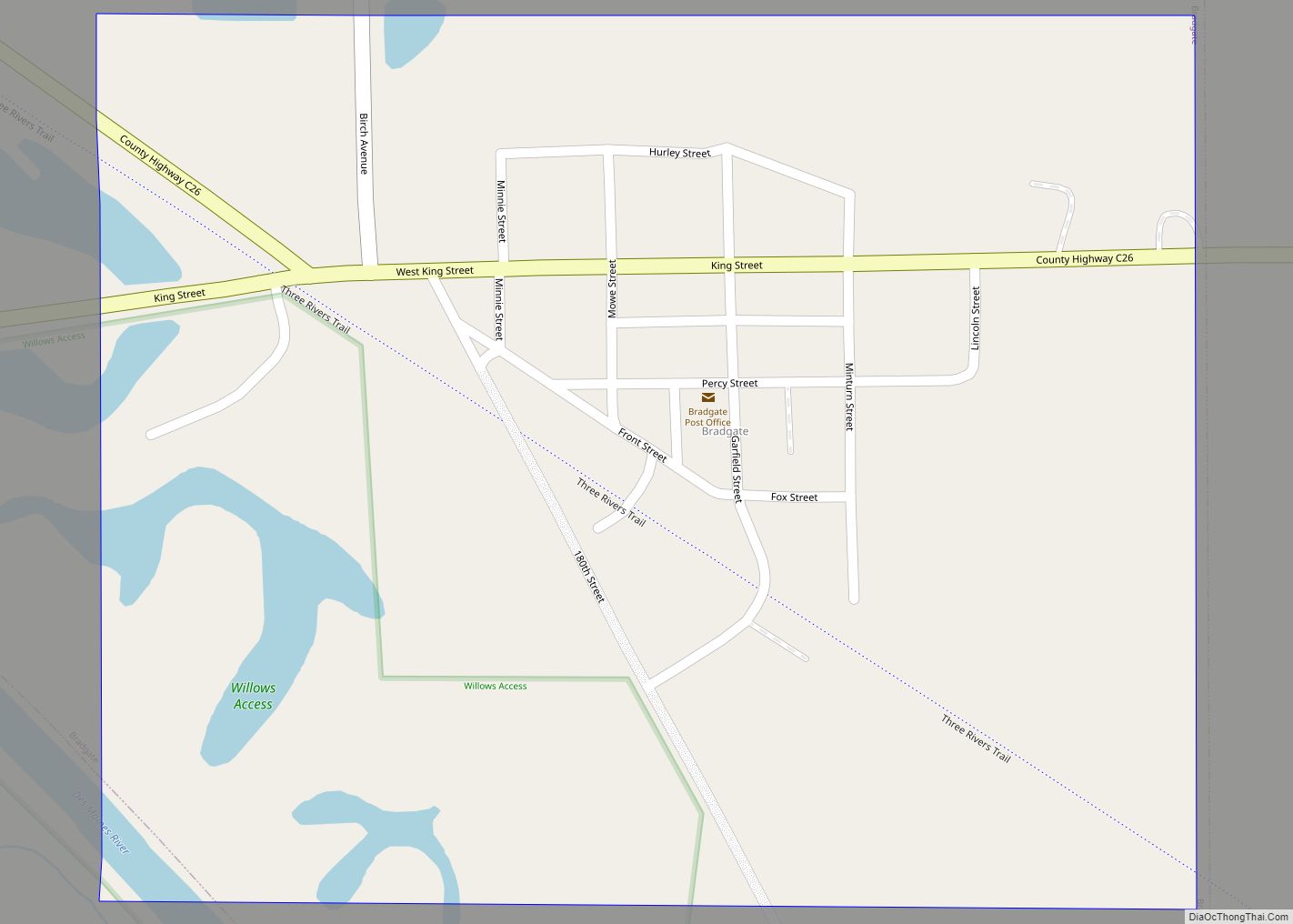
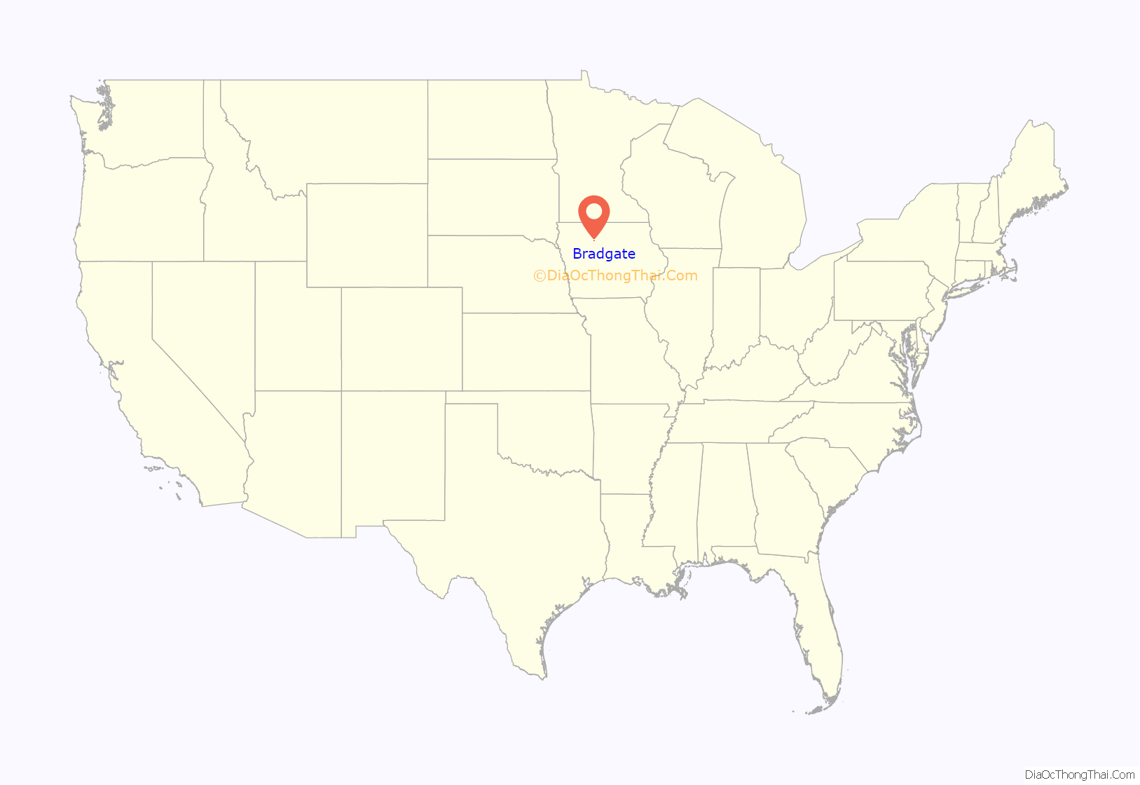
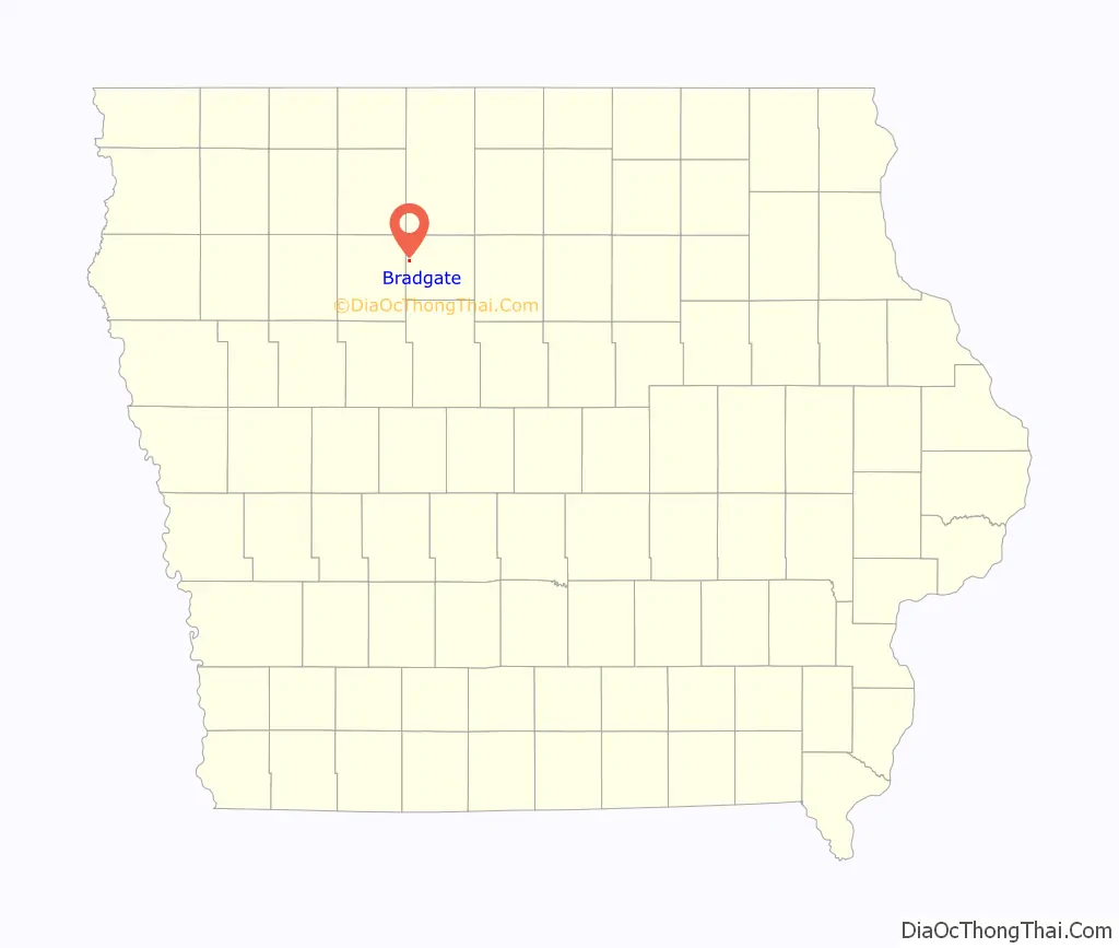
Bradgate is a city in Humboldt County, Iowa, United States, at the conjunction of Sections 5, 6, 7, and 8 of Avery Township, and rests near the banks of the West Fork of the Des Moines River. The population was 75 in the 2020 census, a decline from 101 in 2000.
On May 21, 2004, the town was almost completely destroyed by a tornado.
| Name: | Bradgate city |
|---|---|
| LSAD Code: | 25 |
| LSAD Description: | city (suffix) |
| State: | Iowa |
| County: | Humboldt County |
| Incorporated: | June 20, 1893 |
| Elevation: | 1,125 ft (343 m) |
| Total Area: | 0.53 sq mi (1.37 km²) |
| Land Area: | 0.52 sq mi (1.35 km²) |
| Water Area: | 0.01 sq mi (0.01 km²) |
| Total Population: | 75 |
| Population Density: | 143.40/sq mi (55.36/km²) |
| ZIP code: | 50520 |
| Area code: | 515 |
| FIPS code: | 1908065 |
| GNISfeature ID: | 0454799 |
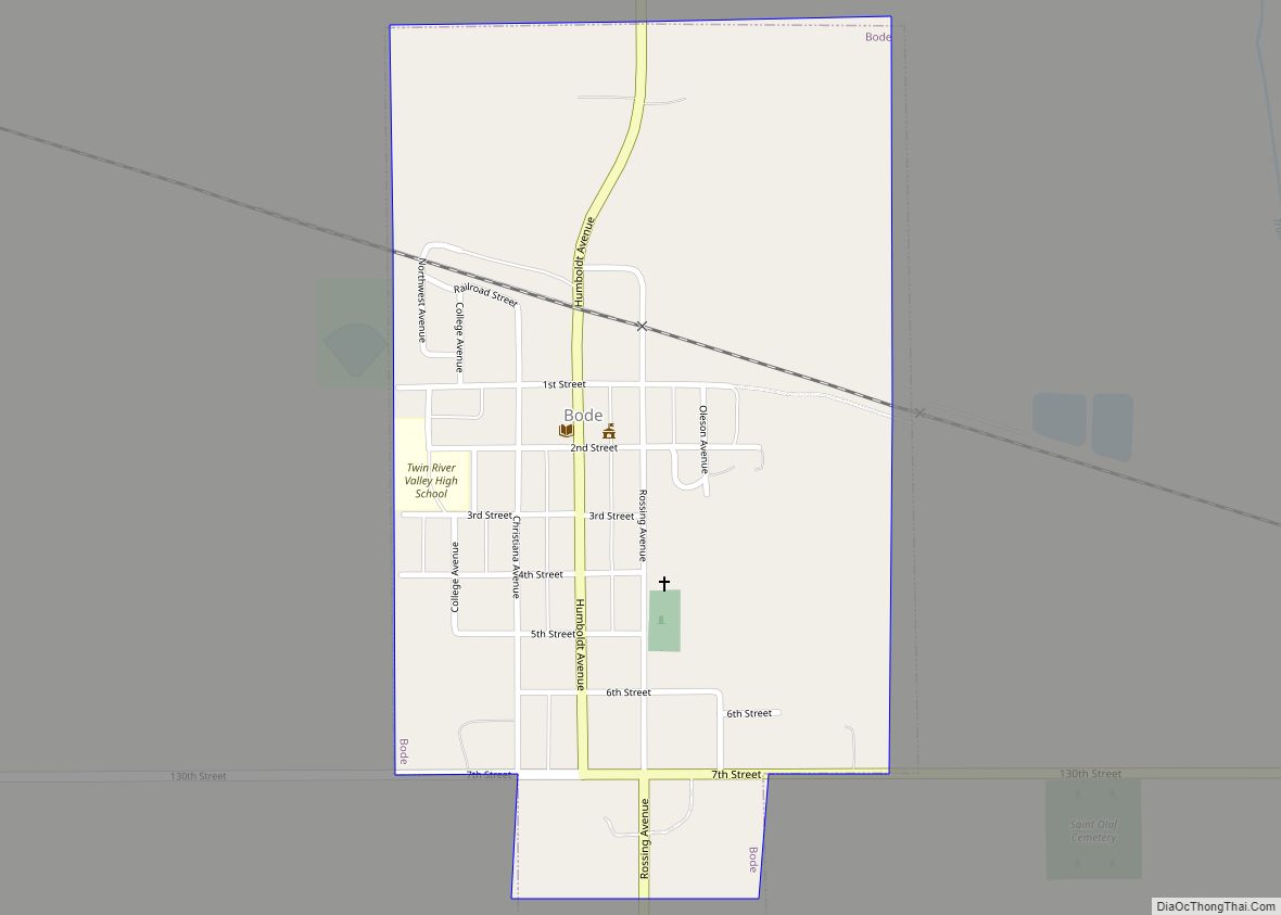
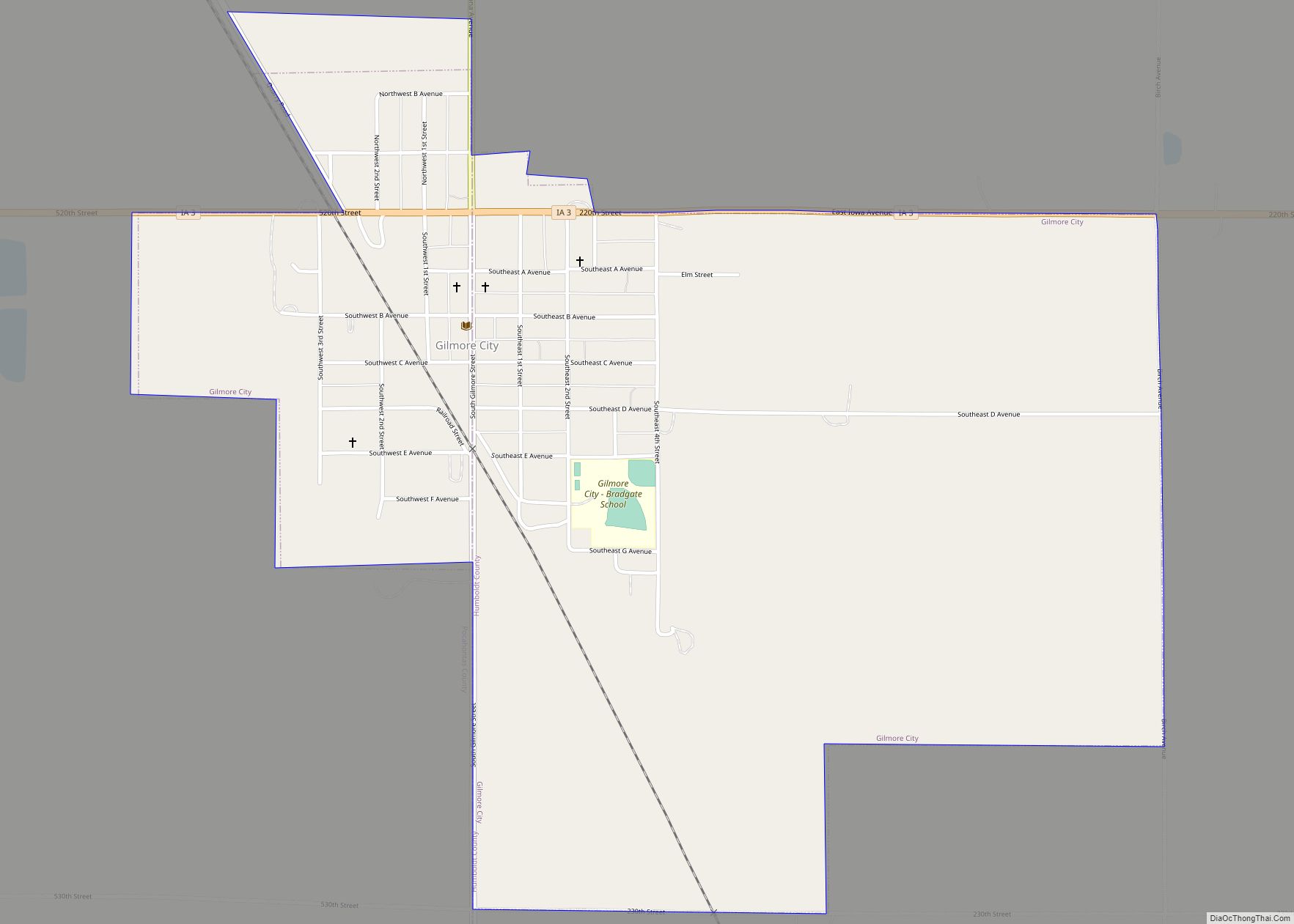
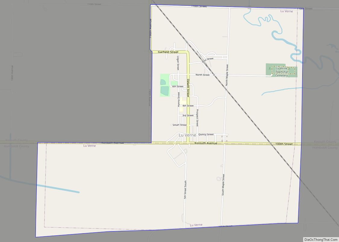
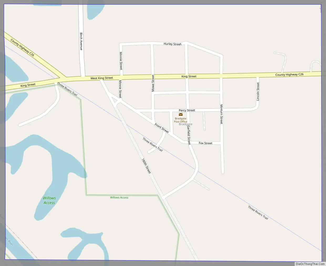
Online Interactive Map
Click on ![]() to view map in "full screen" mode.
to view map in "full screen" mode.
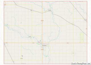
Bradgate location map. Where is Bradgate city?
History
Last battle between two Iowa American Indian tribes
Nearby Avery’s Hill was the site of a significant event in Iowa history. The last battle between two American Indian tribes in Iowa was fought on this hill in 1854 between the Sioux and the Winnebagos.
Some eighteen Sioux warriors under the leadership of Coustawa (Big Tree) surprised the tribe of Winnebago but were driven back after the death of Coustawa. One of the Sioux warriors was reported to be Inkpaduta, who later led a band of Sioux in the famed Spirit Lake Massacre. The Pocahontas County Historical Society has marked the battle spot on the former Clarence Stearns farm with a flag pole and plaque memorial.
A few area residents of Bradgate and surrounding community have acquired large collections of American Indian artifacts, including arrowheads, discovered during walks along the river and on Avery’s Hill.
The early days and origin of name
The first settlement just east of present Bradgate (Section 8) was named Willow Glen with no record of why this name was chosen. However, when the town was platted, the name was changed to Bradgate. Several theories are given as to why this name was chosen but the one accepted by most is that Bradgate was named after Bradgate Park at Newtown Linford, six miles northwest of Leicester in Leicestershire County, England. Likewise, just as Leicestershire County is located just west of Rutland County in England, the town of Bradgate, Iowa, is similarly located just six miles to the northwest of the town of Rutland in Humboldt County, Iowa. There were at least seven English families who left England and moved directly to the Bradgate, Iowa, area.
Bradgate was platted by the Western Town Lot Company in 1881–1882 on the Toledo branch of the Chicago and Northwestern Railroad in Avery Township of Humboldt County. The plat was filed for record on March 7, 1882. The post office was established April 7, 1882.
Cord N. King came to Avery Township in 1864 and purchased 247 acres. He farmed this land and operated a grocery store. Much of the land was donated to the railroad by Cord N. King. It was hoped that the terminal would be built at this spot, but after the entire valley of the Des Moines River flooded on July 7, 1881, it was decided to move the terminal to Eagle Grove.
John Wesley King built a house near the post office and became the town’s first postmaster.
“The town that wouldn’t die”
In the summer of 1950, three people from Life Magazine spent a number of days in Bradgate taking numerous pictures and interviewing nearly everyone for a special profile on a small Iowa town. When the article came to be published, residents were anxious to read the story which profiled their farm community. But when the August 1950 issue appeared, all were disappointed. Bradgate was pictured as a dying town.
This has remained a sore spot in the years since and in 1976, the motto “The town that wouldn’t die” was chosen to commemorate the community’s resolve to withstand the dire premonition and continue forward.
2004 Tornado
On May 21, 2004, a tornado rated F2 struck the town of Bradgate causing widespread damage. The National Weather Service reported that a tornado struck near Rolfe at 6:10 p.m. and hit Bradgate at 6:23 p.m. The tornado severely damaged 30 of the 42 homes in Bradgate. The only building in town that did not receive damage was the new fire station. Though fifteen people sustained minor injuries from flying debris, residents were grateful there were no fatalities.
The tornado that started near Rolfe continued on a 16-mile journey, damaging farm houses, trees, and power lines along the way. MidAmerican Energy power lines and poles, from Rutland north to the Bradgate blacktop, were toppled over the roadway. A storm damage survey team from the National Weather Service in Des Moines rated the tornado F2 in strength. A tornado rated F2 has estimated winds of 113-157 mph, based upon estimates in the Fujita Scale.
Bradgate Road Map
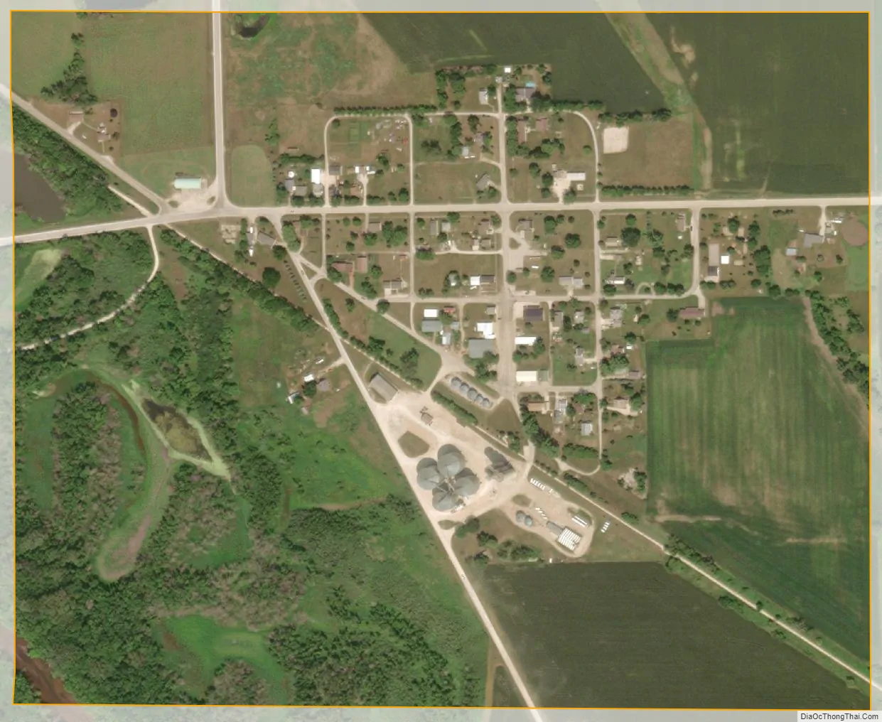
Bradgate city Satellite Map
Geography
Bradgate’s longitude and latitude coordinates in decimal form are 42.803434, -94.420405.
According to the United States Census Bureau, the city has a total area of 0.35 square miles (0.91 km), all land.
See also
Map of Iowa State and its subdivision:- Adair
- Adams
- Allamakee
- Appanoose
- Audubon
- Benton
- Black Hawk
- Boone
- Bremer
- Buchanan
- Buena Vista
- Butler
- Calhoun
- Carroll
- Cass
- Cedar
- Cerro Gordo
- Cherokee
- Chickasaw
- Clarke
- Clay
- Clayton
- Clinton
- Crawford
- Dallas
- Davis
- Decatur
- Delaware
- Des Moines
- Dickinson
- Dubuque
- Emmet
- Fayette
- Floyd
- Franklin
- Fremont
- Greene
- Grundy
- Guthrie
- Hamilton
- Hancock
- Hardin
- Harrison
- Henry
- Howard
- Humboldt
- Ida
- Iowa
- Jackson
- Jasper
- Jefferson
- Johnson
- Jones
- Keokuk
- Kossuth
- Lee
- Linn
- Louisa
- Lucas
- Lyon
- Madison
- Mahaska
- Marion
- Marshall
- Mills
- Mitchell
- Monona
- Monroe
- Montgomery
- Muscatine
- O'Brien
- Osceola
- Page
- Palo Alto
- Plymouth
- Pocahontas
- Polk
- Pottawattamie
- Poweshiek
- Ringgold
- Sac
- Scott
- Shelby
- Sioux
- Story
- Tama
- Taylor
- Union
- Van Buren
- Wapello
- Warren
- Washington
- Wayne
- Webster
- Winnebago
- Winneshiek
- Woodbury
- Worth
- Wright
- Alabama
- Alaska
- Arizona
- Arkansas
- California
- Colorado
- Connecticut
- Delaware
- District of Columbia
- Florida
- Georgia
- Hawaii
- Idaho
- Illinois
- Indiana
- Iowa
- Kansas
- Kentucky
- Louisiana
- Maine
- Maryland
- Massachusetts
- Michigan
- Minnesota
- Mississippi
- Missouri
- Montana
- Nebraska
- Nevada
- New Hampshire
- New Jersey
- New Mexico
- New York
- North Carolina
- North Dakota
- Ohio
- Oklahoma
- Oregon
- Pennsylvania
- Rhode Island
- South Carolina
- South Dakota
- Tennessee
- Texas
- Utah
- Vermont
- Virginia
- Washington
- West Virginia
- Wisconsin
- Wyoming