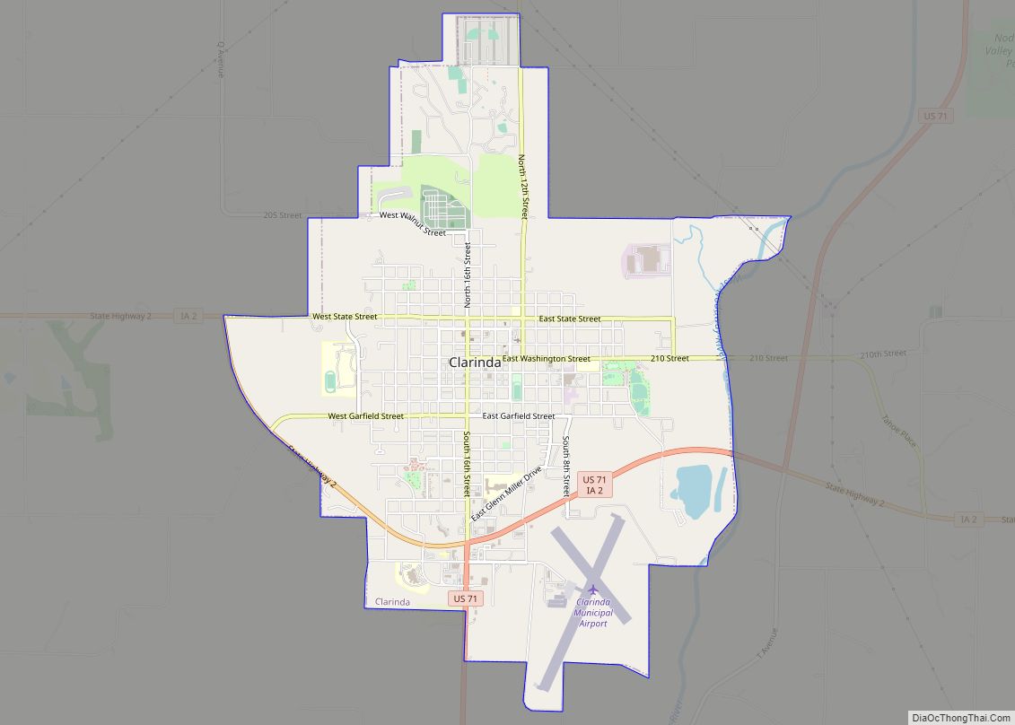
Clarinda is a city in and the county seat of Page County, Iowa. It is located in Nodaway Township. The population was 5,369 at the time of the 2020 census. Clarinda city overview: Name: Clarinda city LSAD Code: 25 LSAD Description: city (suffix) State: Iowa County: Page County Elevation: 1,043 ft (318 m) Total Area: 5.13 sq mi (13.29 km²) ... Read more
Iowa Cities and Places
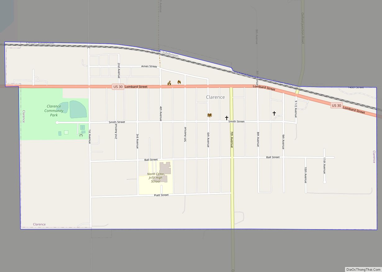
Clarence is a city in Cedar County, Iowa, United States. The population was 1,039 at the time of the 2020 census. Clarence city overview: Name: Clarence city LSAD Code: 25 LSAD Description: city (suffix) State: Iowa County: Cedar County Elevation: 837 ft (255 m) Total Area: 0.76 sq mi (1.97 km²) Land Area: 0.76 sq mi (1.97 km²) Water Area: 0.00 sq mi (0.00 km²) Total ... Read more
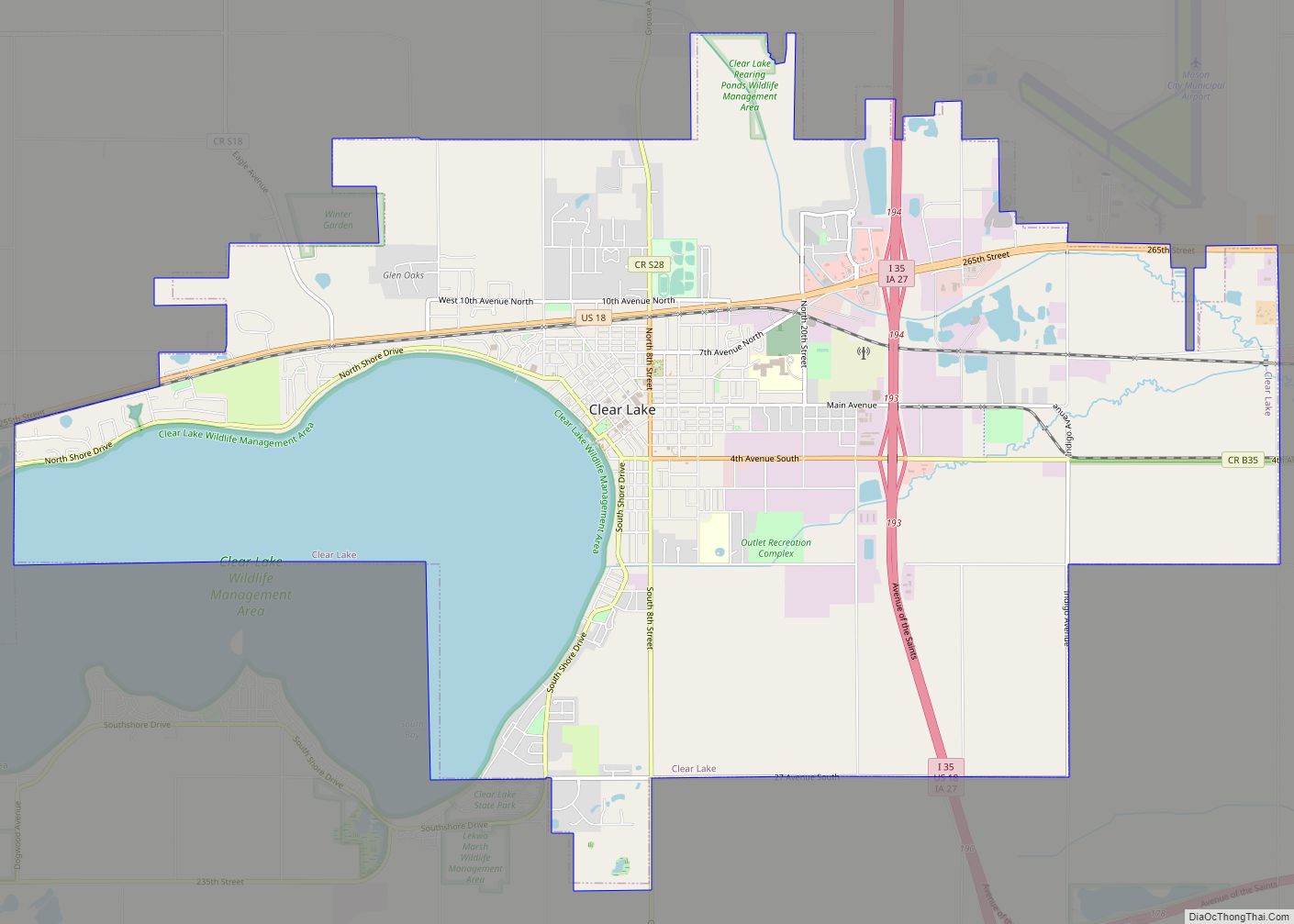
Clear Lake is a city in Cerro Gordo County, Iowa, United States. The population was 7,687 at the 2020 census. The city is named for the large lake on which it is located. It is the home of a number of marinas, state parks and tourism-related businesses. Clear Lake is also a major stop on ... Read more
Clayton is a city in Clayton County, Iowa, United States. The population was 45 at the 2020 census, down from 55 in 2000. Clayton is located directly on the Mississippi River and is only accessible via a very steep road. Clayton city overview: Name: Clayton city LSAD Code: 25 LSAD Description: city (suffix) State: Iowa ... Read more
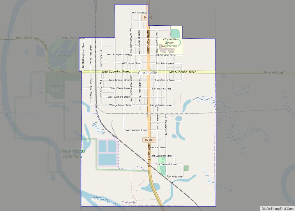
Clarksville is a city in Butler County, Iowa, United States, along the Shell Rock River. The population was 1,264 at the 2020 census. Clarksville city overview: Name: Clarksville city LSAD Code: 25 LSAD Description: city (suffix) State: Iowa County: Butler County Elevation: 942 ft (287 m) Total Area: 1.35 sq mi (3.49 km²) Land Area: 1.31 sq mi (3.39 km²) Water Area: 0.04 sq mi ... Read more
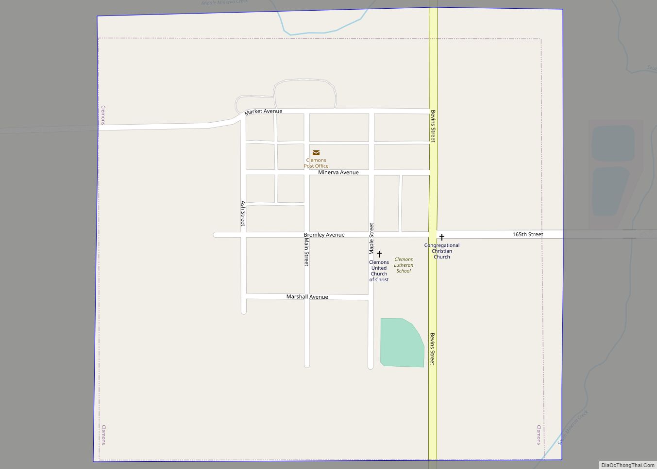
Clemons is a city in Marshall County, Iowa, United States. The population was 140 at the 2020 census. Clemons city overview: Name: Clemons city LSAD Code: 25 LSAD Description: city (suffix) State: Iowa County: Marshall County Elevation: 951 ft (290 m) Total Area: 0.25 sq mi (0.65 km²) Land Area: 0.25 sq mi (0.65 km²) Water Area: 0.00 sq mi (0.00 km²) Total Population: 140 Population ... Read more
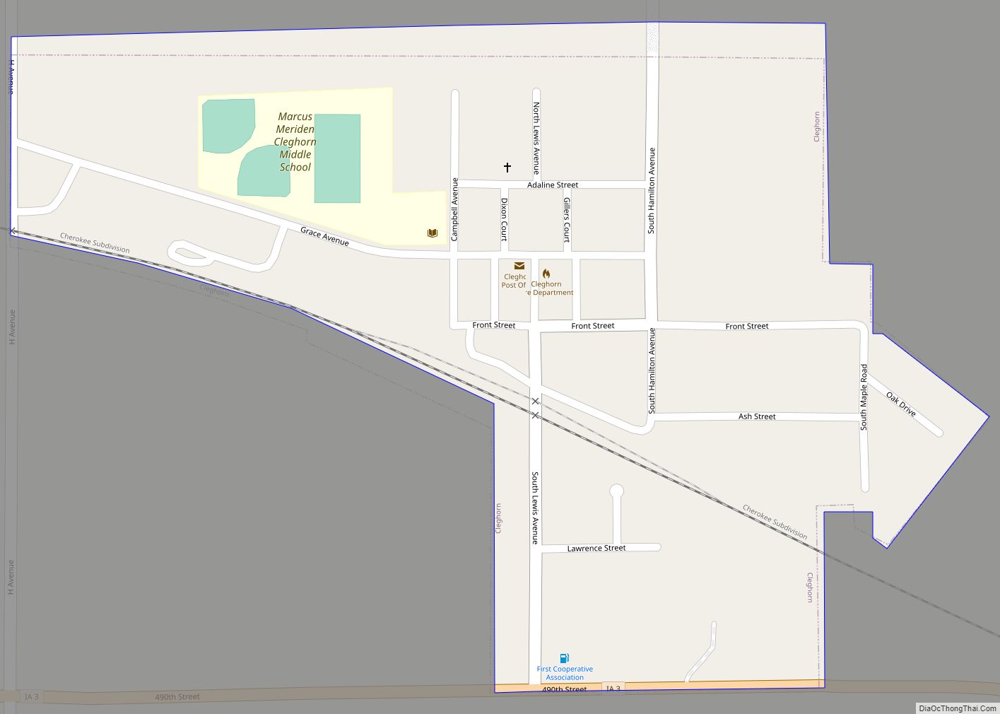
Cleghorn is a city in Cherokee County, Iowa, United States. The population was 240 at the 2020 census. Cleghorn city overview: Name: Cleghorn city LSAD Code: 25 LSAD Description: city (suffix) State: Iowa County: Cherokee County Elevation: 1,460 ft (445 m) Total Area: 0.23 sq mi (0.59 km²) Land Area: 0.23 sq mi (0.59 km²) Water Area: 0.00 sq mi (0.00 km²) Total Population: 240 Population ... Read more
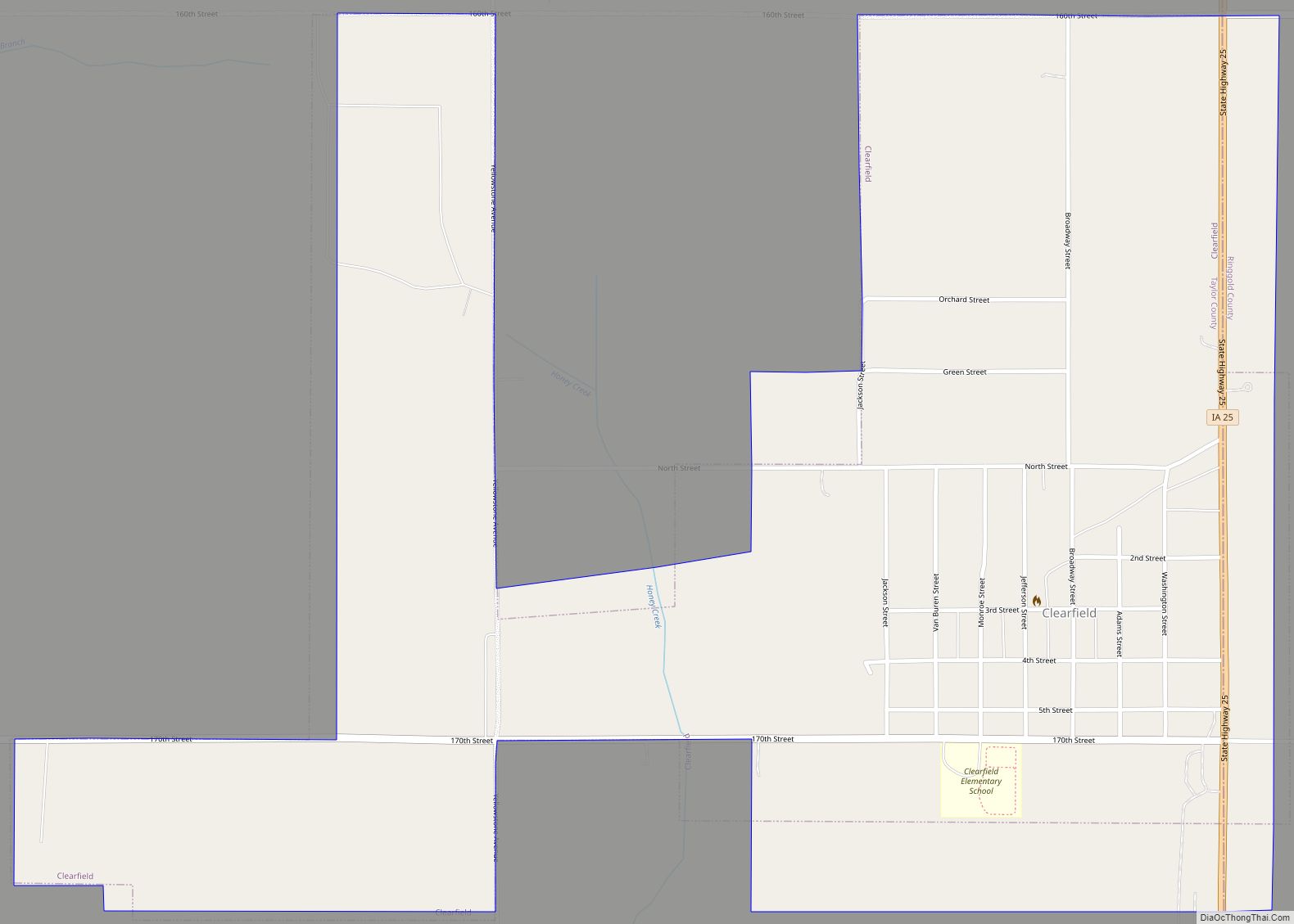
Clearfield is a city in Taylor and Ringgold counties in the U.S. state of Iowa. The population was 278 at the time of the 2020 census. Clearfield city overview: Name: Clearfield city LSAD Code: 25 LSAD Description: city (suffix) State: Iowa County: Ringgold County, Taylor County Elevation: 1,263 ft (385 m) Total Area: 1.19 sq mi (3.08 km²) Land Area: ... Read more
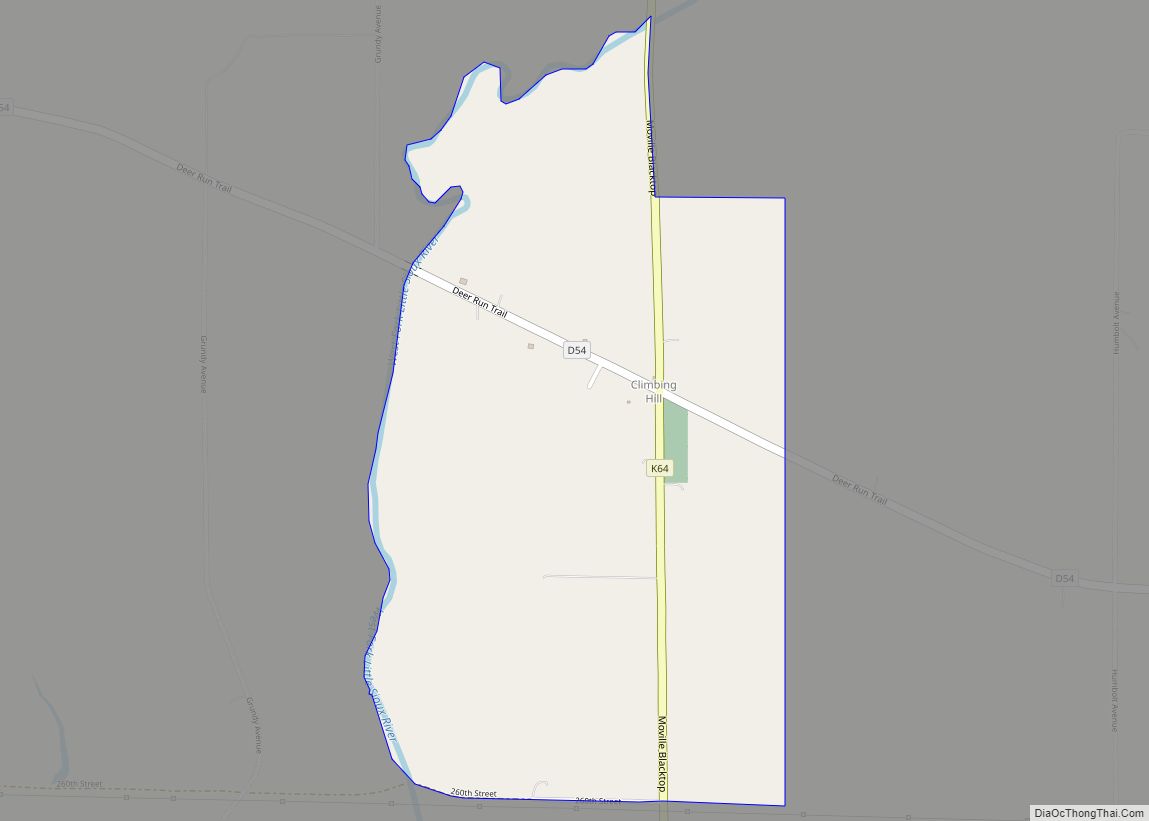
Climbing Hill is an unincorporated community in Woodbury County, Iowa, United States. Its elevation is 1,135 feet (346 m). The community is part of the Sioux City, IA–NE–SD Metropolitan Statistical Area. It has a post office with the ZIP code 51015. Climbing Hill CDP overview: Name: Climbing Hill CDP LSAD Code: 57 LSAD Description: CDP (suffix) State: ... Read more
Clermont is a city in Fayette County, Iowa, United States. The population was 586 at the 2020 census. Clermont is home to Montauk, the mansion of former Iowa governor William Larrabee, along with much historic architecture. Scenes for the movie The Straight Story were filmed here. Clermont city overview: Name: Clermont city LSAD Code: 25 ... Read more
Clinton is a city in and the county seat of Clinton County, Iowa, United States. The population was 24,469 as of 2020. Clinton, along with DeWitt (also located in Clinton County), was named in honor of the sixth governor of New York, DeWitt Clinton. Clinton is the principal city of the Clinton Micropolitan Statistical Area, ... Read more
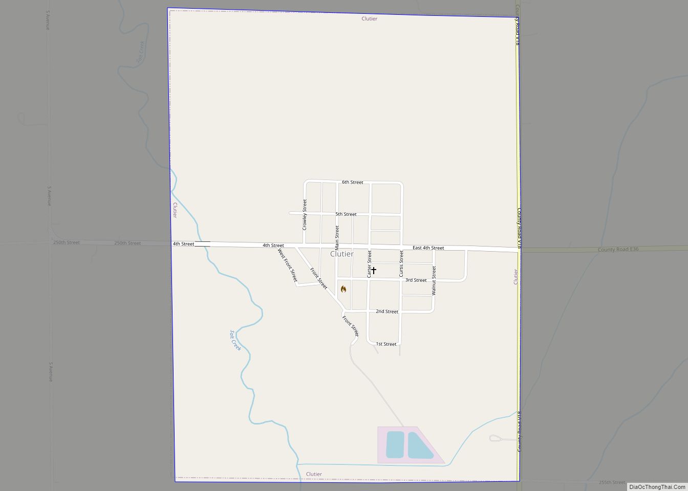
Clutier (/ˈkluːtɪər/) is a city in Tama County, Iowa, United States. The population was 213 at the 2020 census. Clutier city overview: Name: Clutier city LSAD Code: 25 LSAD Description: city (suffix) State: Iowa County: Tama County Elevation: 886 ft (270 m) Total Area: 0.75 sq mi (1.94 km²) Land Area: 0.75 sq mi (1.94 km²) Water Area: 0.00 sq mi (0.00 km²) Total Population: 213 ... Read more
