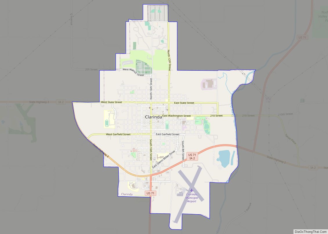
Clarinda is a city in and the county seat of Page County, Iowa. It is located in Nodaway Township. The population was 5,369 at the time of the 2020 census.
| Name: | Clarinda city |
|---|---|
| LSAD Code: | 25 |
| LSAD Description: | city (suffix) |
| State: | Iowa |
| County: | Page County |
| Elevation: | 1,043 ft (318 m) |
| Total Area: | 5.13 sq mi (13.29 km²) |
| Land Area: | 5.10 sq mi (13.21 km²) |
| Water Area: | 0.03 sq mi (0.09 km²) |
| Total Population: | 5,369 |
| Population Density: | 1,052.75/sq mi (406.46/km²) |
| ZIP code: | 51632 |
| Area code: | 712 |
| FIPS code: | 1913575 |
| Website: | bestiowatown.com |
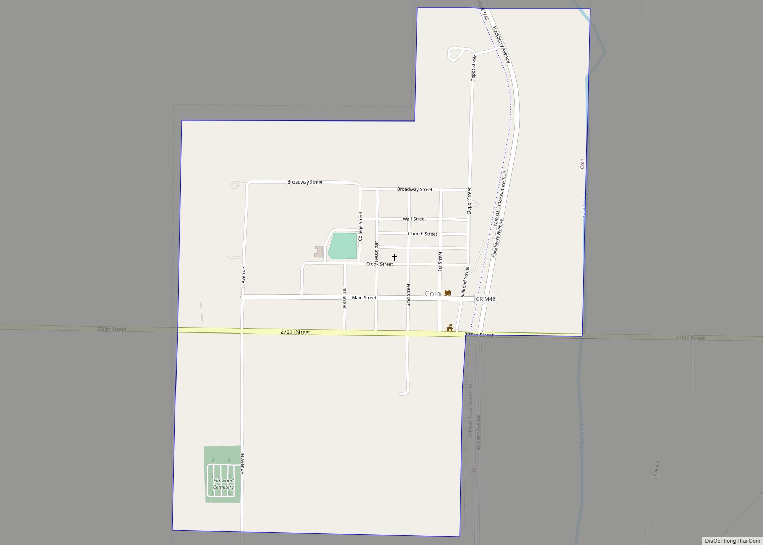
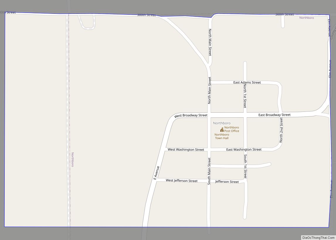
Online Interactive Map
Click on ![]() to view map in "full screen" mode.
to view map in "full screen" mode.
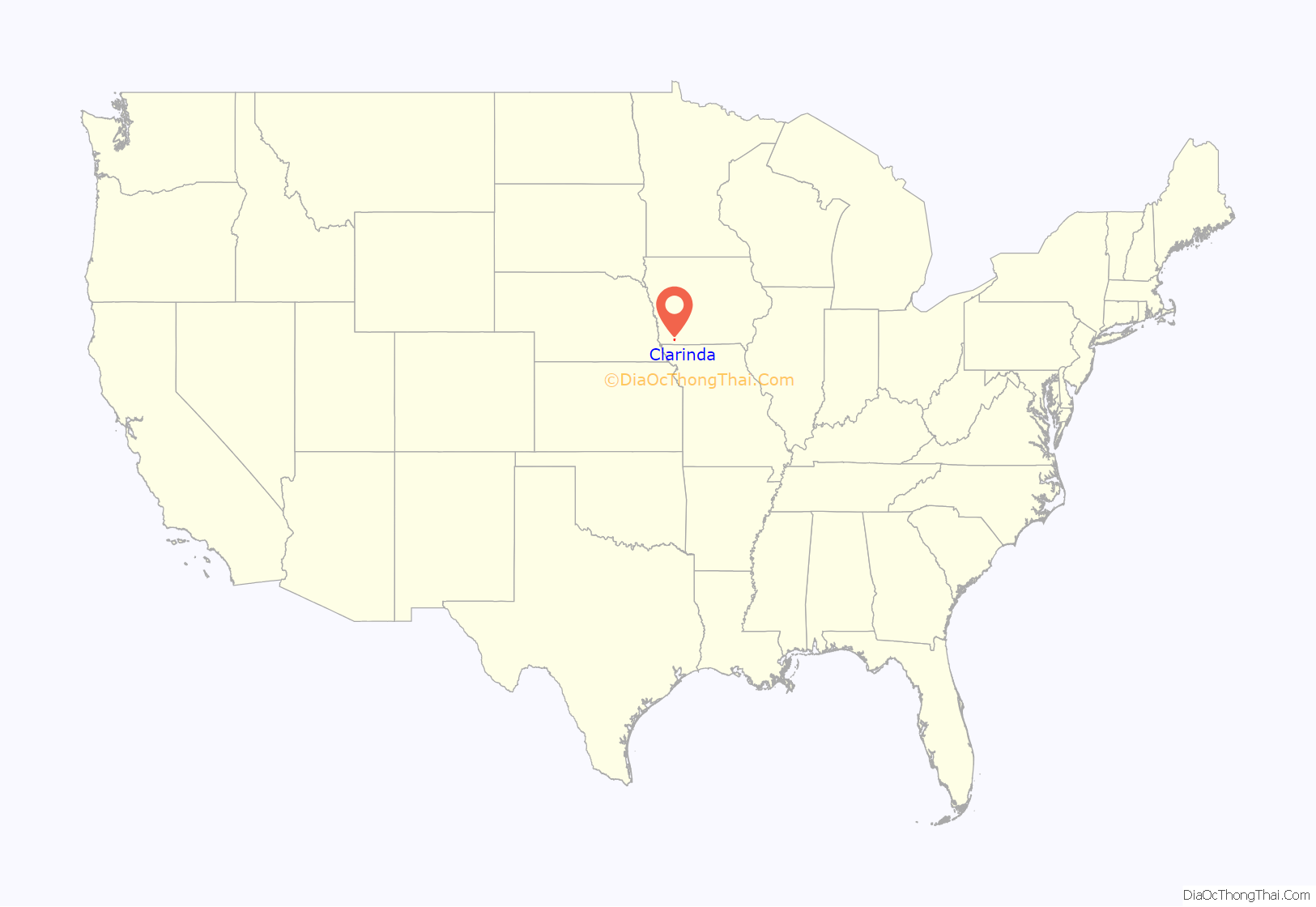
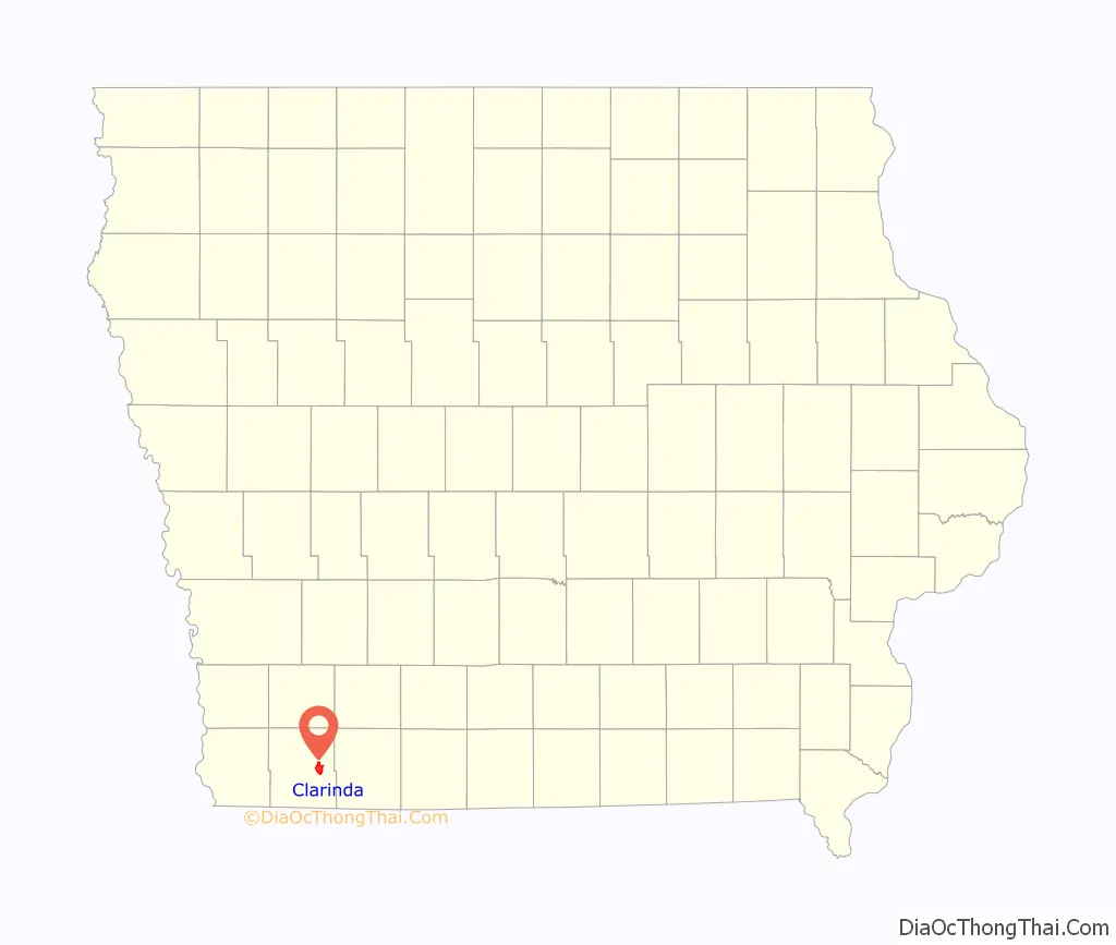
Clarinda location map. Where is Clarinda city?
History
Clarinda was founded in 1851, and incorporated on December 8, 1866. Many stories are told of such notables as Jesse James frequently passing through.
The town is named for Clarinda Buck, who according to legend carried water to the surveyors while Page County was first being surveyed.
The best known national firm in Clarinda for many decades was Berry’s Seed Company, a mail order farm seed distribution business founded in 1885 at Clarinda by A. A. Berry. Berry’s Seed Company diversified into retail stores in the 1950s, but the stores were sold off over the following decade, and today the company, known as Berry’s Garden Center, operates from its one remaining retail outlet in Danville, Illinois.
In 1943, during World War II, an internment camp designed for 3,000 prisoners of war with sixty barracks and a 150-bed hospital was built in Clarinda. German prisoners were the first to arrive at Camp Clarinda, followed in 1945 by Italian and Japanese POWs.
The southeast area of Clarinda was once dubbed “Gun Town” and remains known by that name today. A noted author wrote, “In the twenties and thirties, Clarinda seemed to be two separate towns: Guntown and Uptown. In the middle of the square was, and remains, the courthouse. The four blocks surrounding the square are filled with businesses. Guntown was a town all its own. The 700 block of East Garfield was a solid block of businesses–grocery stores, barber, a Chinese restaurant, another restaurant on a corner, a rug factory, a large grocery, the Swifts packing plant, and railroad tracks with freight depot and roundhouse to turn trains around.”
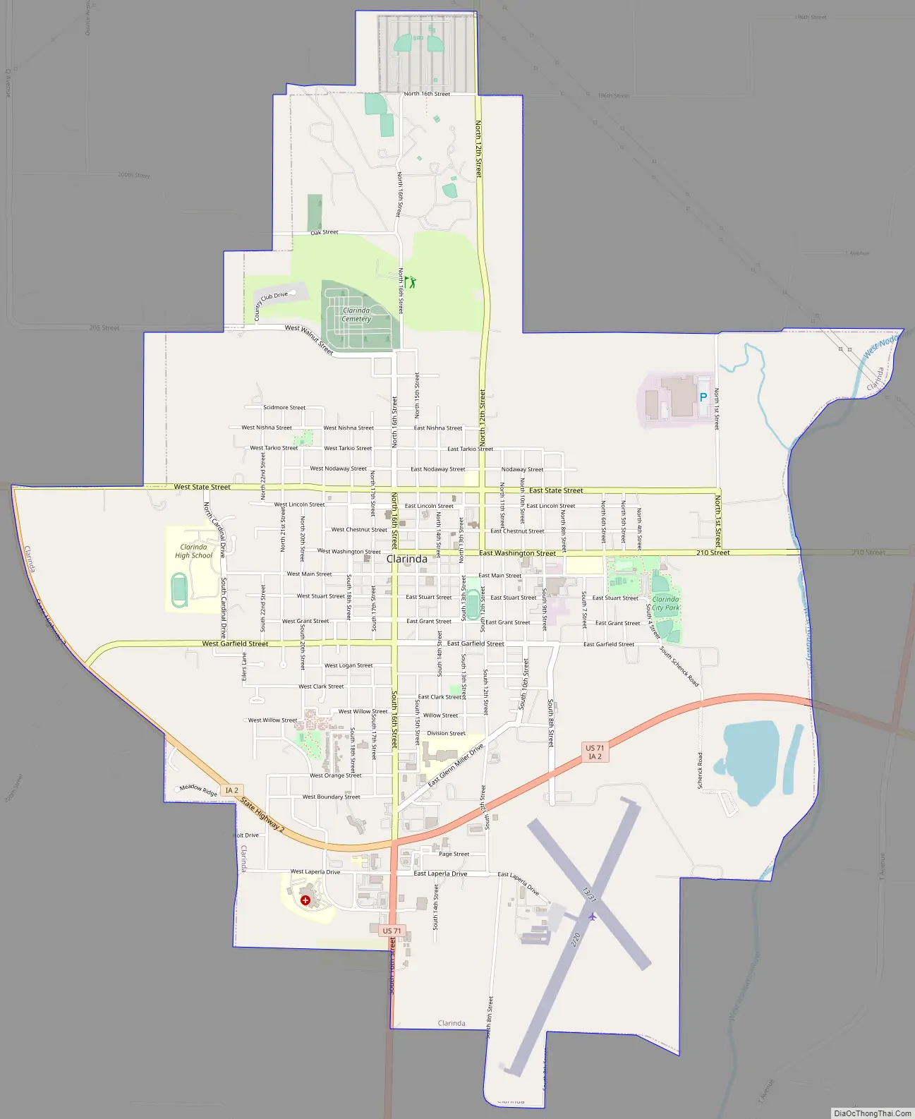
Clarinda Road Map
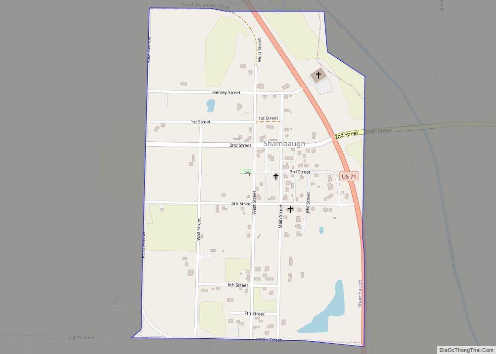
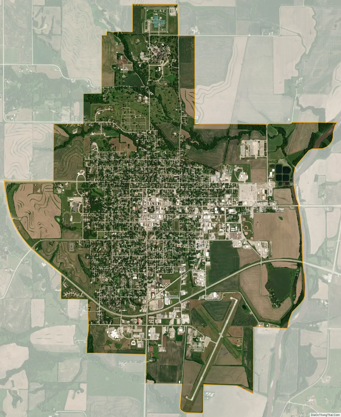
Clarinda city Satellite Map
Geography
Clarinda is located at 40°44′15″N 95°2′9″W / 40.73750°N 95.03583°W / 40.73750; -95.03583 (40.737599, -95.035928) along the West Nodaway River, just north of its confluence with the East Nodaway River.
According to the United States Census Bureau, the city has a total area of 5.22 square miles (13.52 km), of which 5.19 square miles (13.44 km) is land and 0.03 square miles (0.08 km) is water.
Climate
See also
Map of Iowa State and its subdivision:- Adair
- Adams
- Allamakee
- Appanoose
- Audubon
- Benton
- Black Hawk
- Boone
- Bremer
- Buchanan
- Buena Vista
- Butler
- Calhoun
- Carroll
- Cass
- Cedar
- Cerro Gordo
- Cherokee
- Chickasaw
- Clarke
- Clay
- Clayton
- Clinton
- Crawford
- Dallas
- Davis
- Decatur
- Delaware
- Des Moines
- Dickinson
- Dubuque
- Emmet
- Fayette
- Floyd
- Franklin
- Fremont
- Greene
- Grundy
- Guthrie
- Hamilton
- Hancock
- Hardin
- Harrison
- Henry
- Howard
- Humboldt
- Ida
- Iowa
- Jackson
- Jasper
- Jefferson
- Johnson
- Jones
- Keokuk
- Kossuth
- Lee
- Linn
- Louisa
- Lucas
- Lyon
- Madison
- Mahaska
- Marion
- Marshall
- Mills
- Mitchell
- Monona
- Monroe
- Montgomery
- Muscatine
- O'Brien
- Osceola
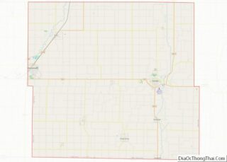
- Page
- Palo Alto
- Plymouth
- Pocahontas
- Polk
- Pottawattamie
- Poweshiek
- Ringgold
- Sac
- Scott
- Shelby
- Sioux
- Story
- Tama
- Taylor
- Union
- Van Buren
- Wapello
- Warren
- Washington
- Wayne
- Webster
- Winnebago
- Winneshiek
- Woodbury
- Worth
- Wright
- Alabama
- Alaska
- Arizona
- Arkansas
- California
- Colorado
- Connecticut
- Delaware
- District of Columbia
- Florida
- Georgia
- Hawaii
- Idaho
- Illinois
- Indiana
- Iowa
- Kansas
- Kentucky
- Louisiana
- Maine
- Maryland
- Massachusetts
- Michigan
- Minnesota
- Mississippi
- Missouri
- Montana
- Nebraska
- Nevada
- New Hampshire
- New Jersey
- New Mexico
- New York
- North Carolina
- North Dakota
- Ohio
- Oklahoma
- Oregon
- Pennsylvania
- Rhode Island
- South Carolina
- South Dakota
- Tennessee
- Texas
- Utah
- Vermont
- Virginia
- Washington
- West Virginia
- Wisconsin
- Wyoming