Cumberland is a city in Cass County, Iowa, United States that was founded in 1884. The population was 251 at the time of the 2020 census. Cumberland’s sister community is Massena, Iowa. Cumberland city overview: Name: Cumberland city LSAD Code: 25 LSAD Description: city (suffix) State: Iowa County: Cass County Elevation: 1,302 ft (397 m) Total Area: ... Read more
Iowa Cities and Places
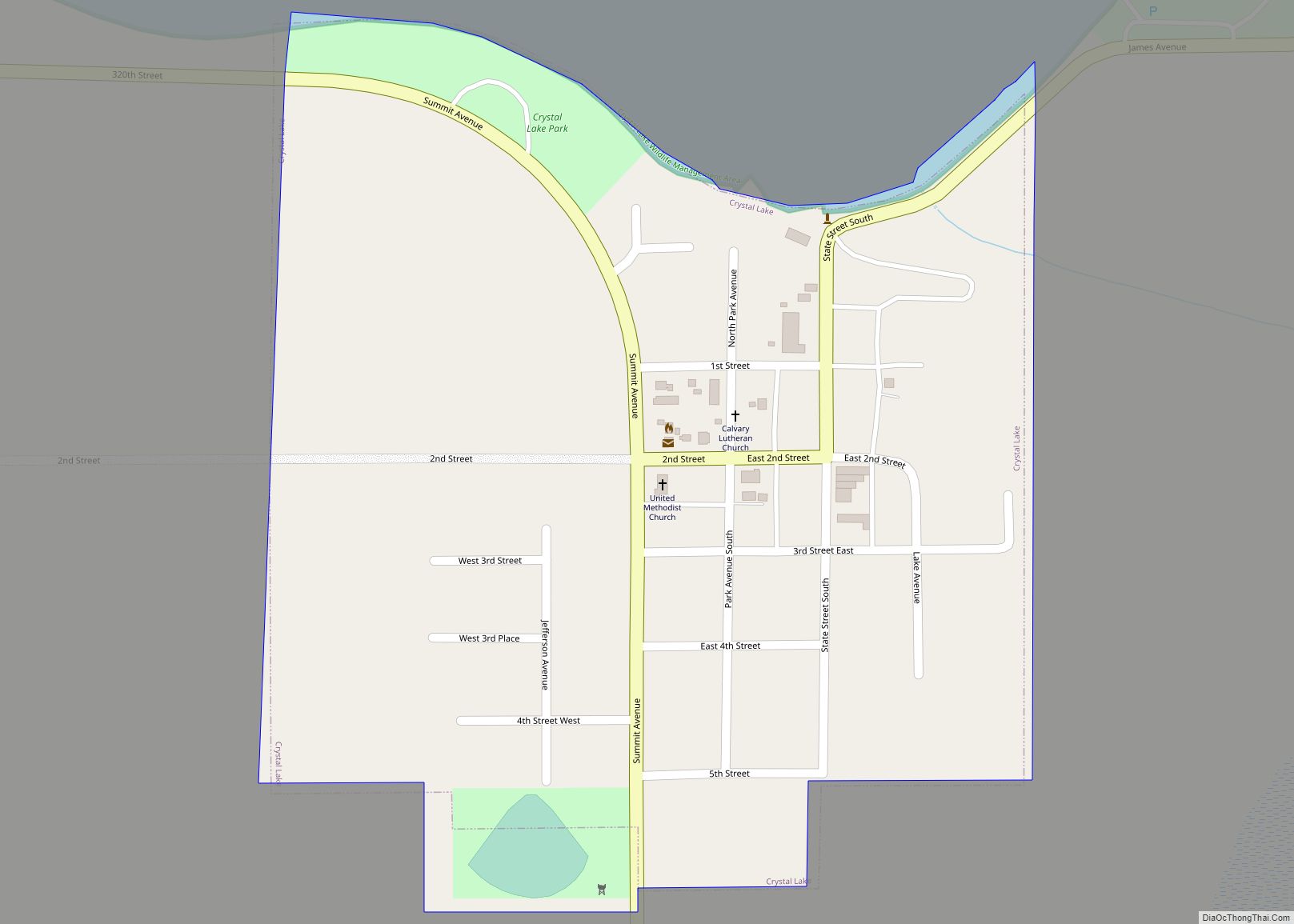
Crystal Lake is a city in Hancock County, Iowa, United States. The population was 253 at the 2020 census. Crystal Lake city overview: Name: Crystal Lake city LSAD Code: 25 LSAD Description: city (suffix) State: Iowa County: Hancock County Elevation: 1,273 ft (388 m) Total Area: 0.25 sq mi (0.64 km²) Land Area: 0.25 sq mi (0.64 km²) Water Area: 0.00 sq mi (0.00 km²) Total ... Read more
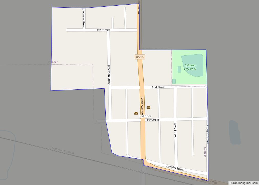
Cylinder is a city in Palo Alto County, Iowa, United States. The population was 87 at the time of the 2020 census. Cylinder city overview: Name: Cylinder city LSAD Code: 25 LSAD Description: city (suffix) State: Iowa County: Palo Alto County Elevation: 1,191 ft (363 m) Total Area: 0.09 sq mi (0.24 km²) Land Area: 0.09 sq mi (0.24 km²) Water Area: 0.00 sq mi ... Read more
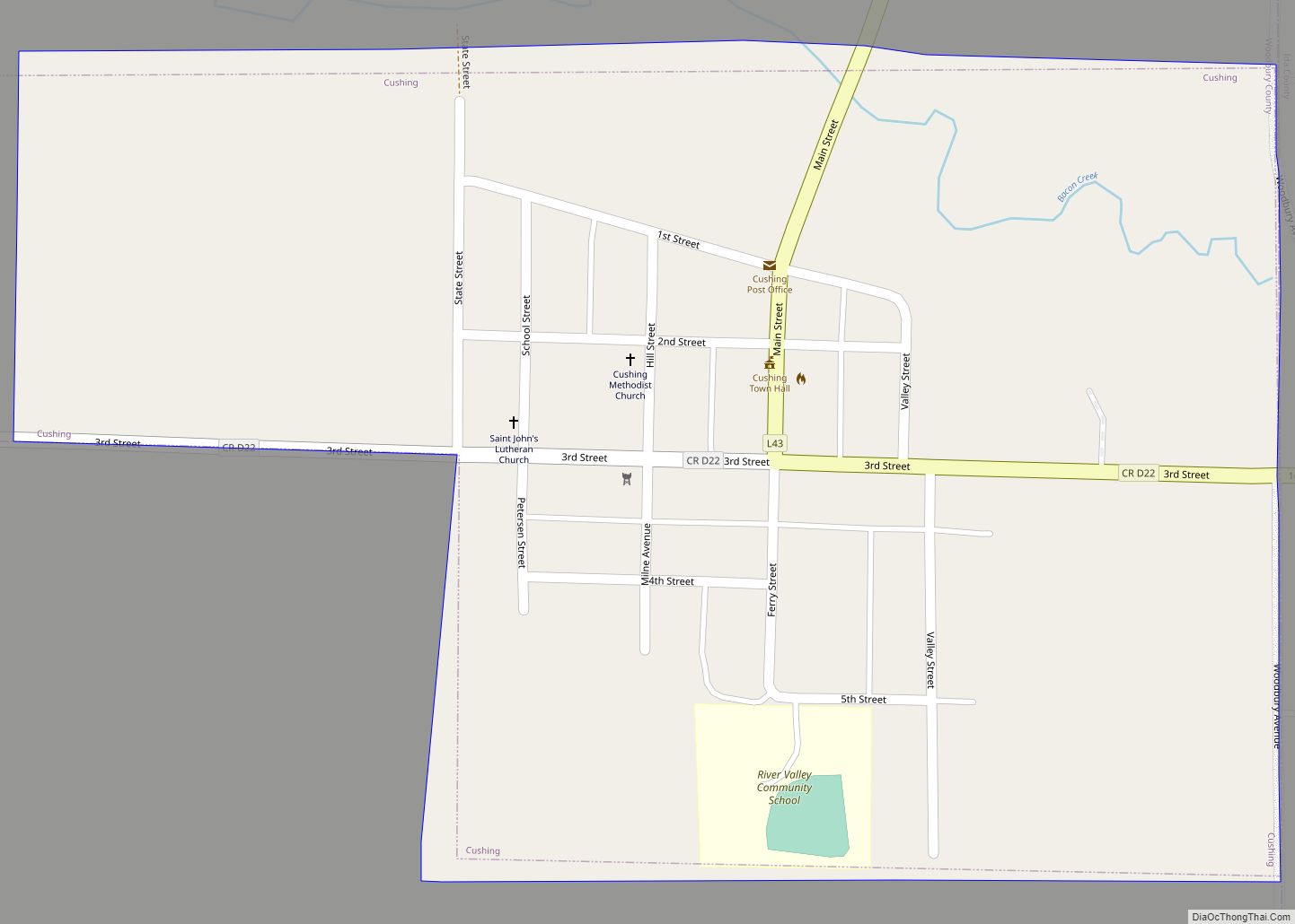
Cushing is a city in Woodbury County, Iowa, United States. It is part of the Sioux City, IA–NE–SD Metropolitan Statistical Area. The population was 230 at the time of the 2020 census. Cushing city overview: Name: Cushing city LSAD Code: 25 LSAD Description: city (suffix) State: Iowa County: Woodbury County Elevation: 1,296 ft (395 m) Total Area: ... Read more
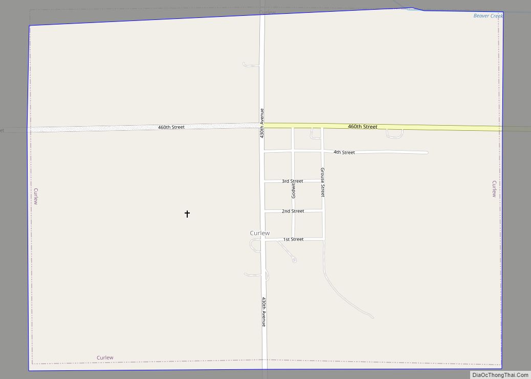
Curlew is a city in Palo Alto County, Iowa, United States. The population was 37 at the time of the 2020 census. Curlew city overview: Name: Curlew city LSAD Code: 25 LSAD Description: city (suffix) State: Iowa County: Palo Alto County Elevation: 1,240 ft (378 m) Total Area: 0.75 sq mi (1.94 km²) Land Area: 0.75 sq mi (1.94 km²) Water Area: 0.00 sq mi ... Read more
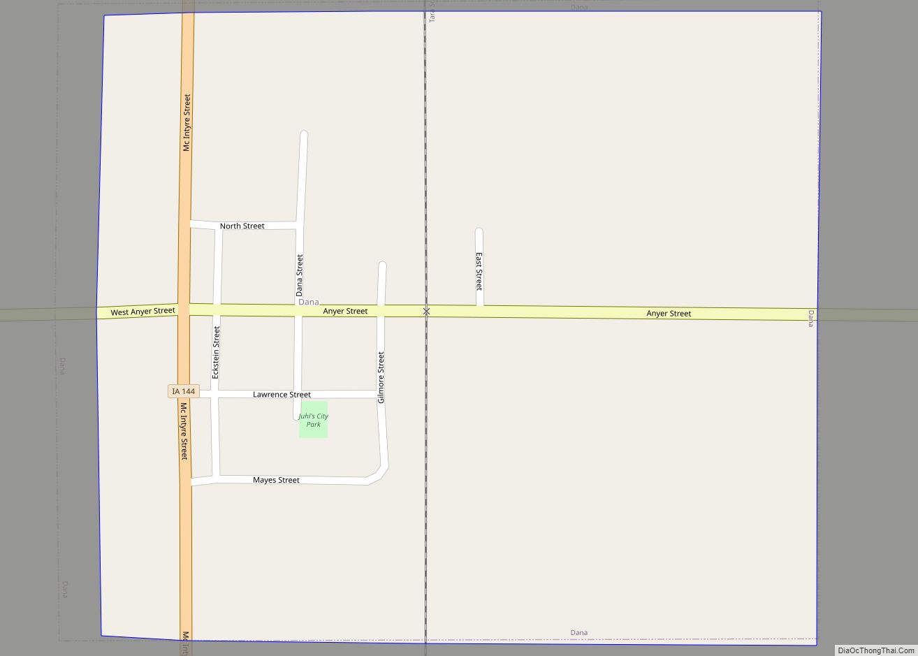
Dana is a city in Greene County, Iowa, United States. The population was 38 at the time of the 2020 census. Dana city overview: Name: Dana city LSAD Code: 25 LSAD Description: city (suffix) State: Iowa County: Greene County Elevation: 1,125 ft (343 m) Total Area: 0.28 sq mi (0.73 km²) Land Area: 0.28 sq mi (0.73 km²) Water Area: 0.00 sq mi (0.00 km²) Total ... Read more
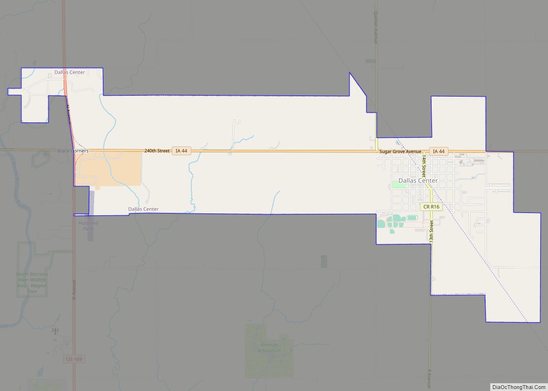
Dallas Center is a city in Dallas County, Iowa, United States. The population was 1,901 during the 2020 census. It is part of the Des Moines–West Des Moines Metropolitan Statistical Area. Dallas Center city overview: Name: Dallas Center city LSAD Code: 25 LSAD Description: city (suffix) State: Iowa County: Dallas County Elevation: 1,070 ft (326 m) Total ... Read more
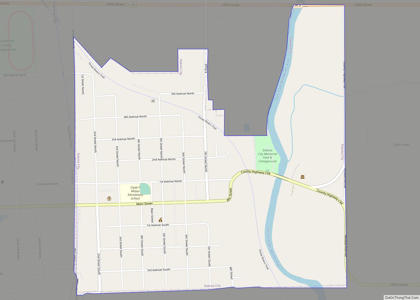
Dakota City is a city in and the county seat of Humboldt County, Iowa, United States. The population was 759 at the time of the 2020 census. Dakota City shares its western border with the much larger city of Humboldt. It is the least populous county seat in Iowa. Dakota City city overview: Name: Dakota ... Read more
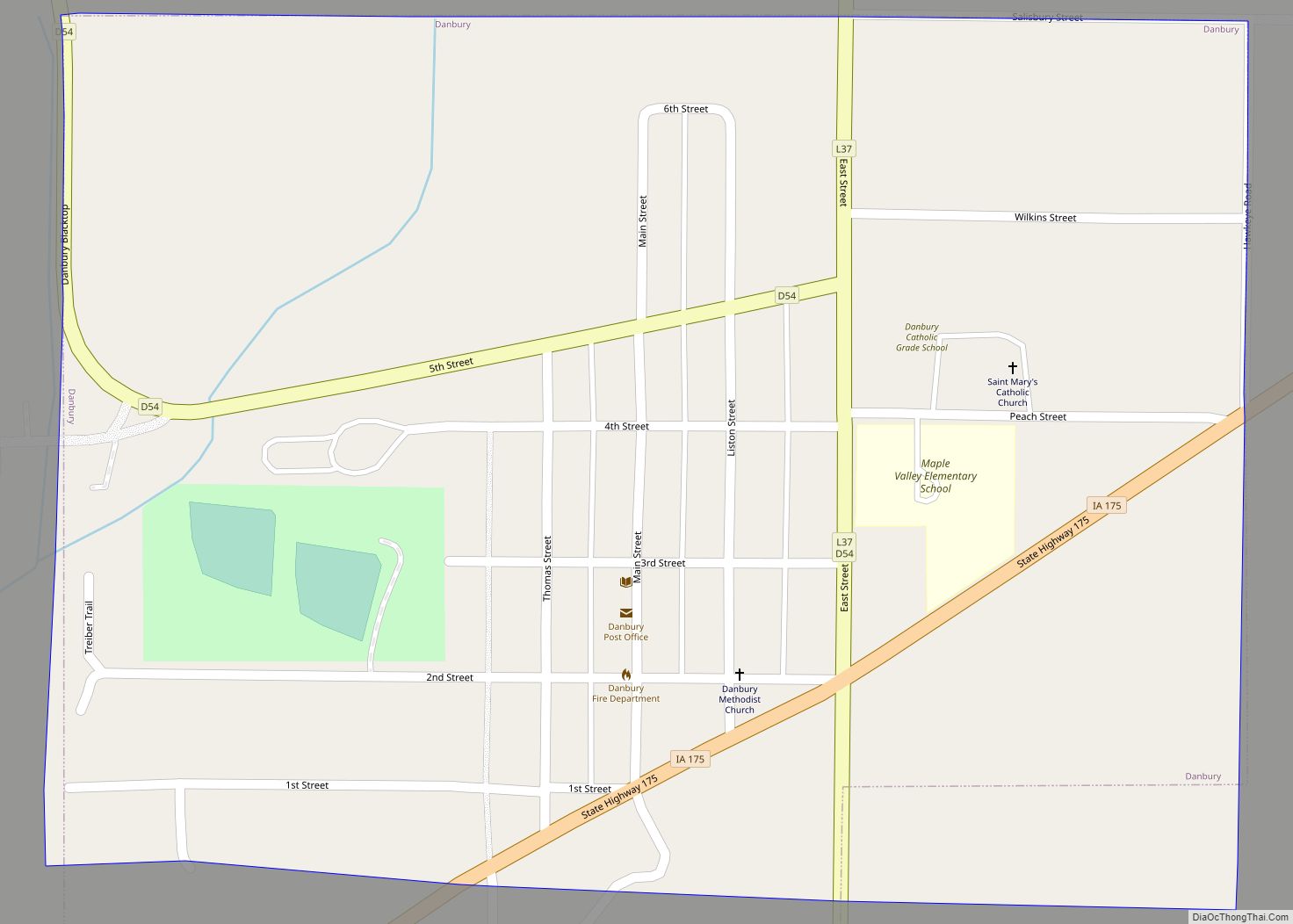
Danbury is a city in Woodbury County, Iowa, United States. It is part of the Sioux City, IA–NE–SD Metropolitan Statistical Area. The population was 320 at the time of the 2020 census. Danbury has two churches, St. Mary’s Catholic Church and the United Methodist Church. Danbury holds a fall celebration called Corn Days during harvest. ... Read more
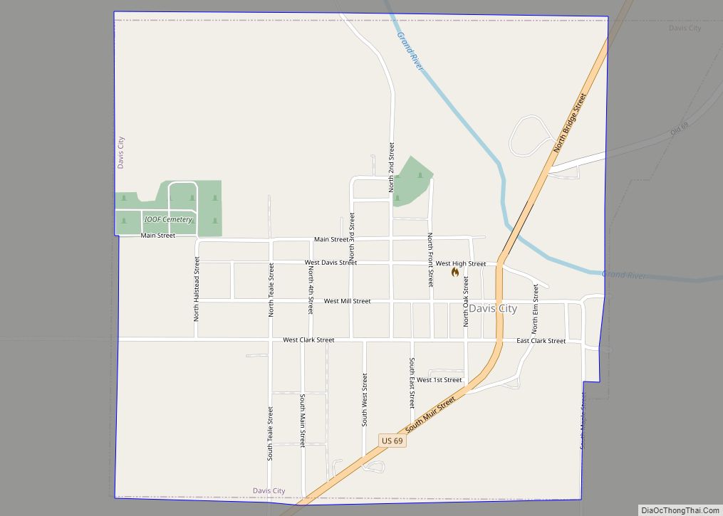
Davis City is a city in Decatur County, Iowa, United States. The population was 179 at the time of the 2020 census. Davis City city overview: Name: Davis City city LSAD Code: 25 LSAD Description: city (suffix) State: Iowa County: Decatur County Elevation: 938 ft (286 m) Total Area: 0.58 sq mi (1.50 km²) Land Area: 0.58 sq mi (1.50 km²) Water Area: ... Read more
Danville is a city in Des Moines County, Iowa, United States. The population was 927 at the time of the 2020 census. It is part of the Burlington, IA–IL Micropolitan Statistical Area. Danville city overview: Name: Danville city LSAD Code: 25 LSAD Description: city (suffix) State: Iowa County: Des Moines County Elevation: 722 ft (220 m) Total ... Read more
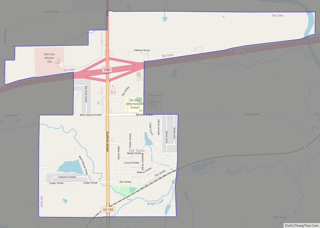
De Soto is a city in Dallas County, Iowa, United States. The population was 915 at the time of the 2020 census. It is part of the Des Moines–West Des Moines Metropolitan Statistical Area. De Soto city overview: Name: De Soto city LSAD Code: 25 LSAD Description: city (suffix) State: Iowa County: Dallas County Elevation: ... Read more

