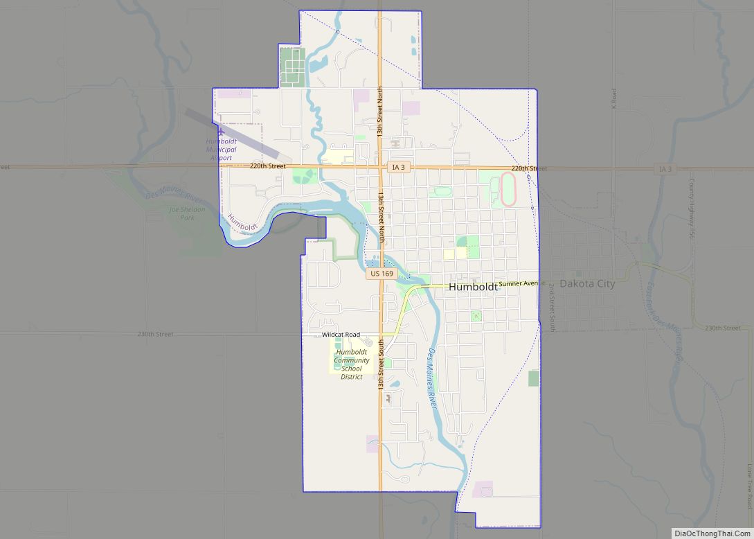
Dakota City is a city in and the county seat of Humboldt County, Iowa, United States. The population was 759 at the time of the 2020 census. Dakota City shares its western border with the much larger city of Humboldt. It is the least populous county seat in Iowa.
| Name: | Dakota City city |
|---|---|
| LSAD Code: | 25 |
| LSAD Description: | city (suffix) |
| State: | Iowa |
| County: | Humboldt County |
| Elevation: | 1,125 ft (343 m) |
| Total Area: | 0.77 sq mi (1.99 km²) |
| Land Area: | 0.73 sq mi (1.89 km²) |
| Water Area: | 0.04 sq mi (0.10 km²) |
| Total Population: | 759 |
| Population Density: | 1,039.73/sq mi (401.40/km²) |
| ZIP code: | 50529 |
| Area code: | 515 |
| FIPS code: | 1918075 |
| GNISfeature ID: | 1690853 |
| Website: | dakotacityiowa.com |
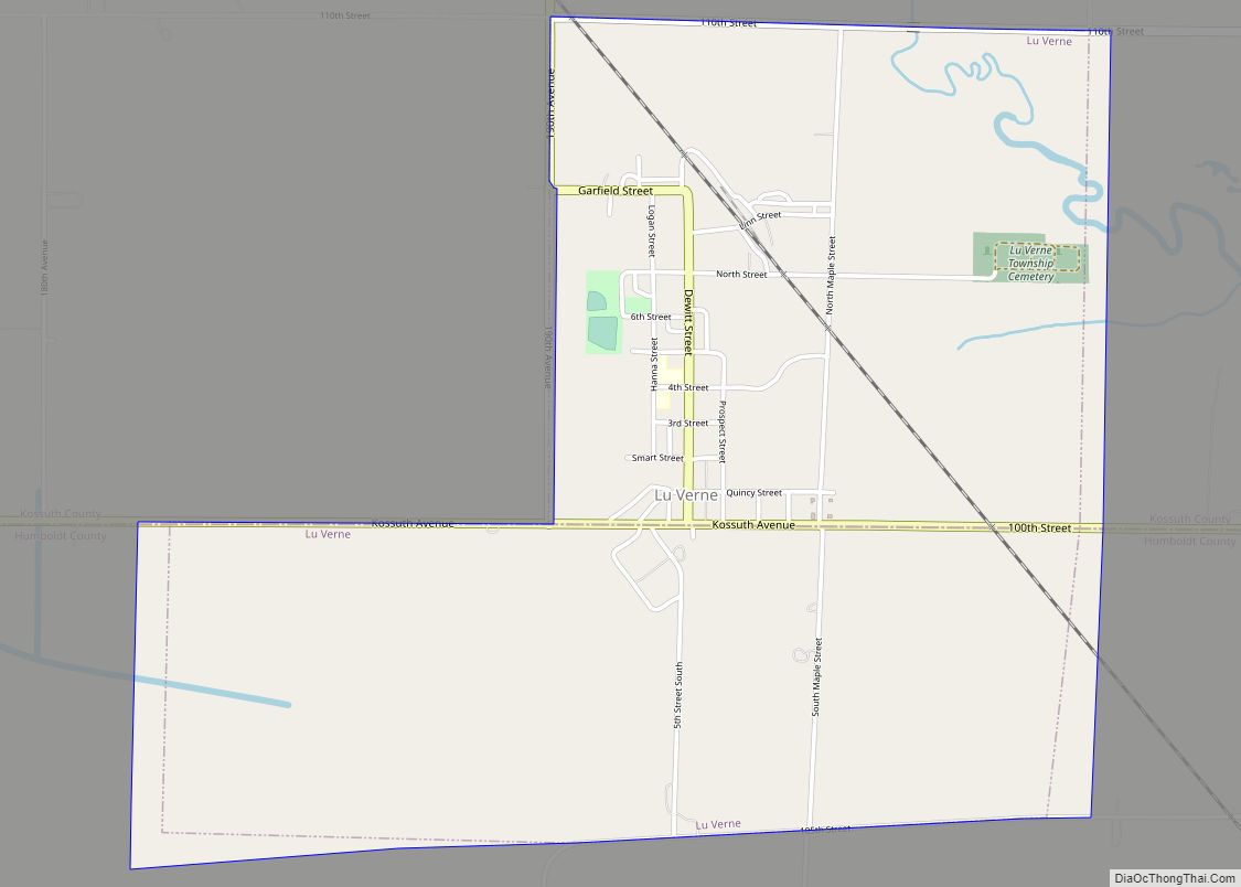
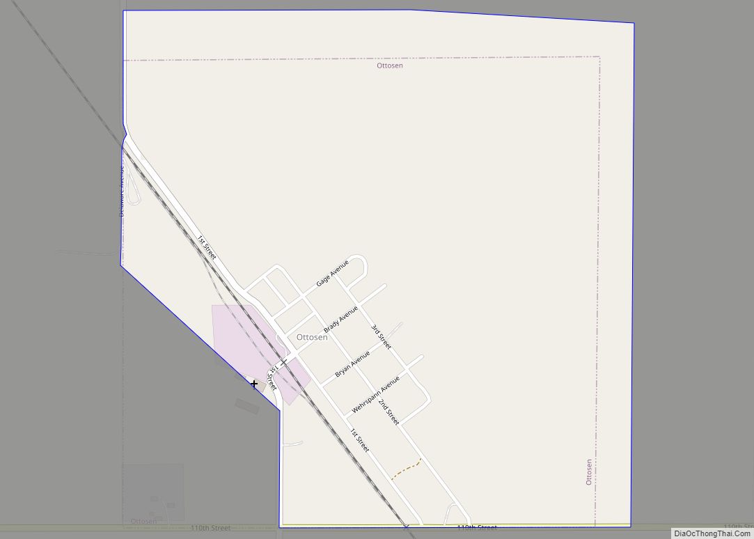
Online Interactive Map
Click on ![]() to view map in "full screen" mode.
to view map in "full screen" mode.
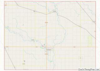
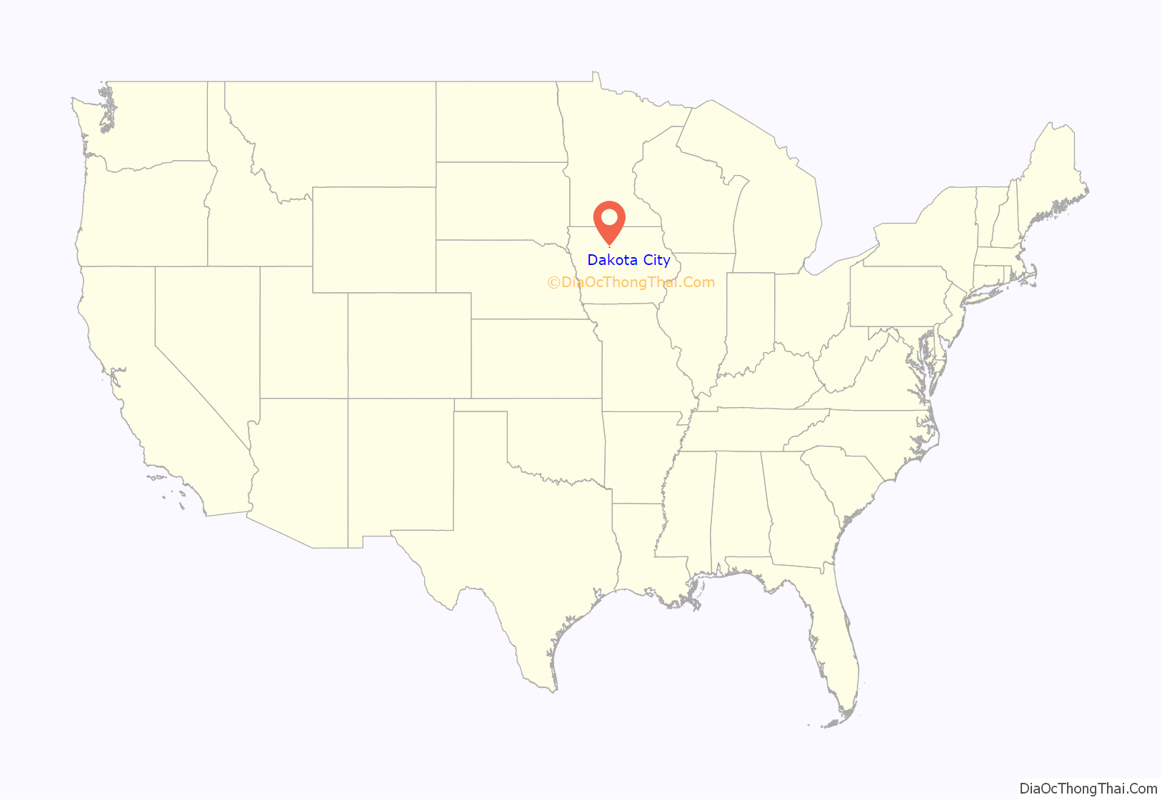
Dakota City location map. Where is Dakota City city?
History
Dakota City was laid out in 1855 and was named after the Dakota people. A post office was established as Dakotah in 1856, and renamed Dakota City in 1924.
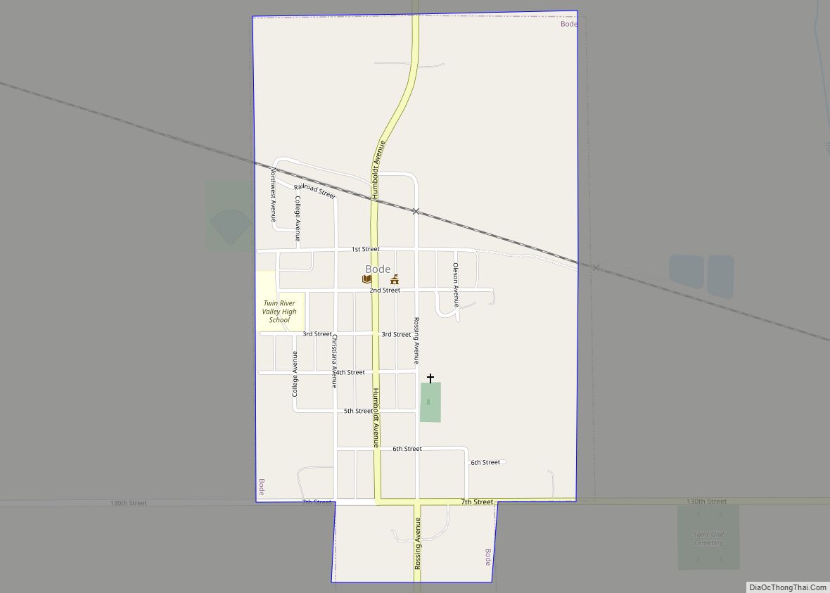
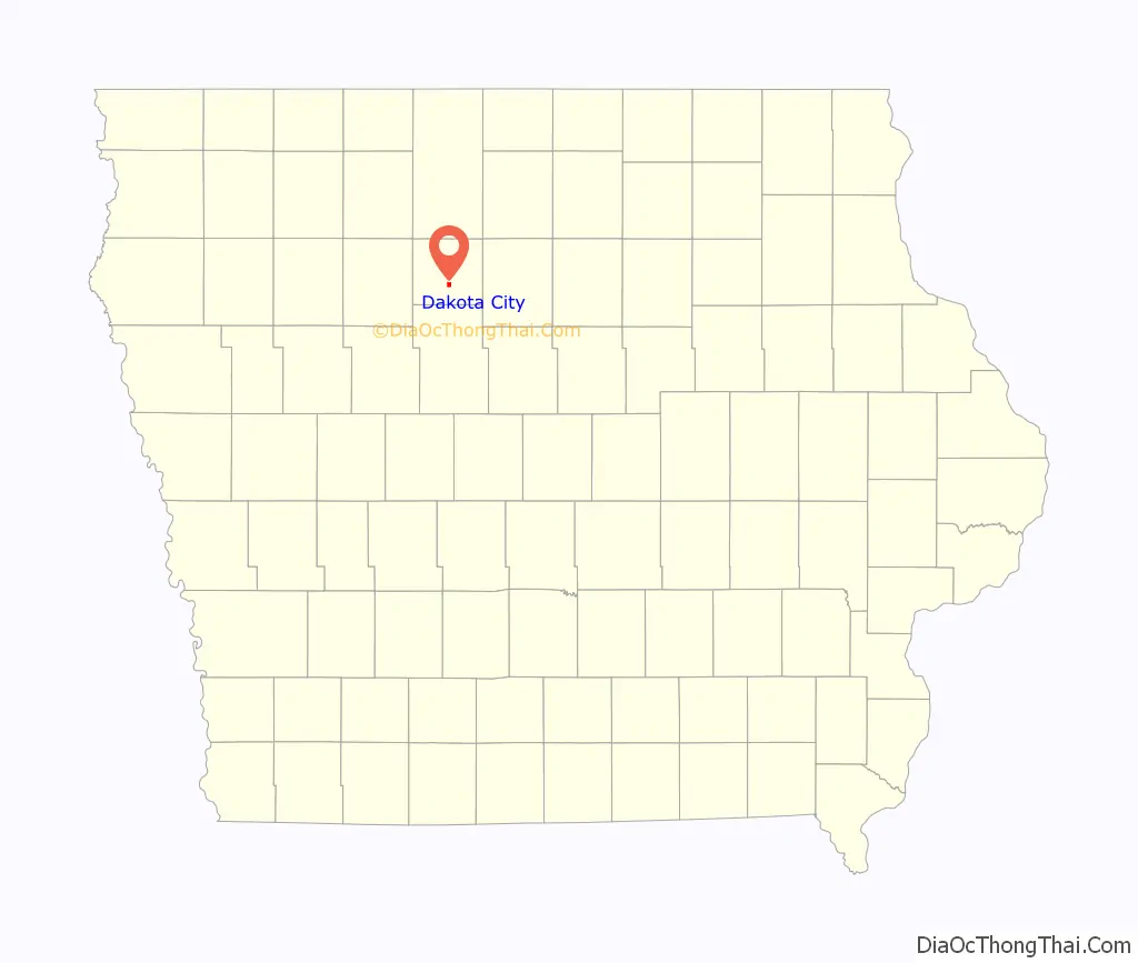
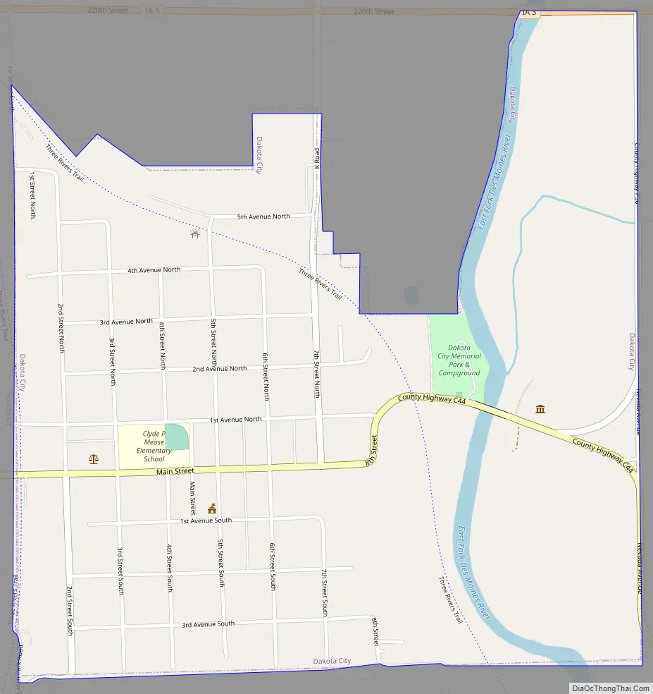
Dakota City Road Map
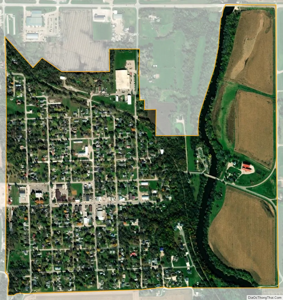
Dakota City city Satellite Map
Geography
Dakota City’s longitude and latitude coordinates in decimal form are 42.721944, -94.200317.
According to the United States Census Bureau, the city has a total area of 0.78 square miles (2.02 km), of which 0.74 square miles (1.92 km) is land and 0.04 square miles (0.10 km) is water.
See also
Map of Iowa State and its subdivision:- Adair
- Adams
- Allamakee
- Appanoose
- Audubon
- Benton
- Black Hawk
- Boone
- Bremer
- Buchanan
- Buena Vista
- Butler
- Calhoun
- Carroll
- Cass
- Cedar
- Cerro Gordo
- Cherokee
- Chickasaw
- Clarke
- Clay
- Clayton
- Clinton
- Crawford
- Dallas
- Davis
- Decatur
- Delaware
- Des Moines
- Dickinson
- Dubuque
- Emmet
- Fayette
- Floyd
- Franklin
- Fremont
- Greene
- Grundy
- Guthrie
- Hamilton
- Hancock
- Hardin
- Harrison
- Henry
- Howard
- Humboldt
- Ida
- Iowa
- Jackson
- Jasper
- Jefferson
- Johnson
- Jones
- Keokuk
- Kossuth
- Lee
- Linn
- Louisa
- Lucas
- Lyon
- Madison
- Mahaska
- Marion
- Marshall
- Mills
- Mitchell
- Monona
- Monroe
- Montgomery
- Muscatine
- O'Brien
- Osceola
- Page
- Palo Alto
- Plymouth
- Pocahontas
- Polk
- Pottawattamie
- Poweshiek
- Ringgold
- Sac
- Scott
- Shelby
- Sioux
- Story
- Tama
- Taylor
- Union
- Van Buren
- Wapello
- Warren
- Washington
- Wayne
- Webster
- Winnebago
- Winneshiek
- Woodbury
- Worth
- Wright
- Alabama
- Alaska
- Arizona
- Arkansas
- California
- Colorado
- Connecticut
- Delaware
- District of Columbia
- Florida
- Georgia
- Hawaii
- Idaho
- Illinois
- Indiana
- Iowa
- Kansas
- Kentucky
- Louisiana
- Maine
- Maryland
- Massachusetts
- Michigan
- Minnesota
- Mississippi
- Missouri
- Montana
- Nebraska
- Nevada
- New Hampshire
- New Jersey
- New Mexico
- New York
- North Carolina
- North Dakota
- Ohio
- Oklahoma
- Oregon
- Pennsylvania
- Rhode Island
- South Carolina
- South Dakota
- Tennessee
- Texas
- Utah
- Vermont
- Virginia
- Washington
- West Virginia
- Wisconsin
- Wyoming