Delta is a city in Keokuk County, Iowa, United States. The population was 264 at the 2020 census. Delta city overview: Name: Delta city LSAD Code: 25 LSAD Description: city (suffix) State: Iowa County: Keokuk County Elevation: 801 ft (244 m) Total Area: 0.96 sq mi (2.48 km²) Land Area: 0.96 sq mi (2.48 km²) Water Area: 0.00 sq mi (0.00 km²) Total Population: 264 Population ... Read more
Iowa Cities and Places
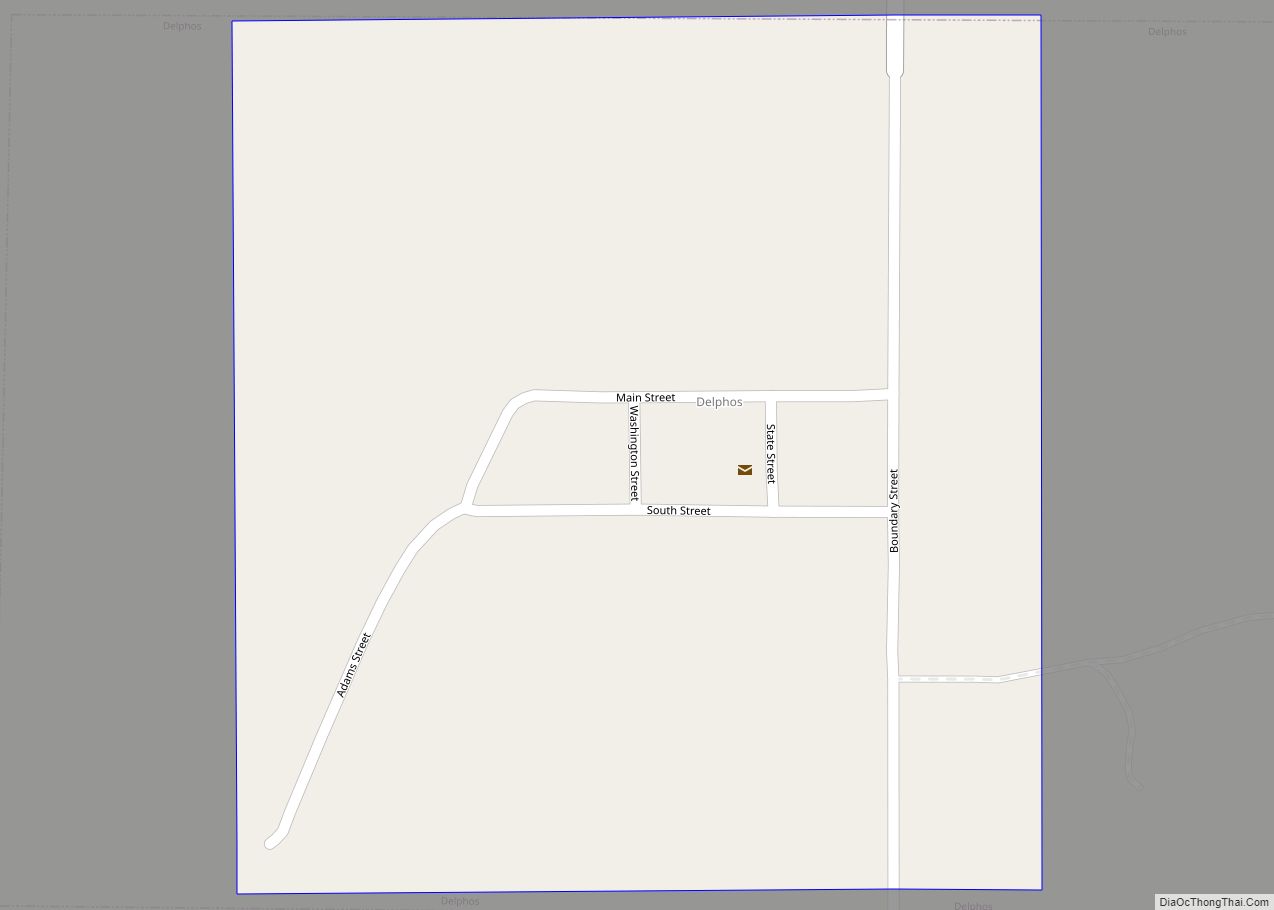
Delphos is a city in Ringgold County, Iowa, United States. The population was 26 at the 2020 census. Delphos city overview: Name: Delphos city LSAD Code: 25 LSAD Description: city (suffix) State: Iowa County: Ringgold County Elevation: 1,138 ft (347 m) Total Area: 0.22 sq mi (0.58 km²) Land Area: 0.22 sq mi (0.58 km²) Water Area: 0.00 sq mi (0.00 km²) Total Population: 26 Population ... Read more
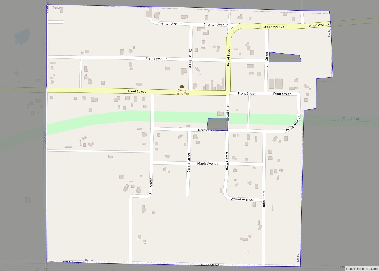
Derby is a city in Lucas County, Iowa, United States. The population was 90 at the time of the 2020 census. Derby city overview: Name: Derby city LSAD Code: 25 LSAD Description: city (suffix) State: Iowa County: Lucas County Elevation: 1,079 ft (329 m) Total Area: 0.26 sq mi (0.66 km²) Land Area: 0.26 sq mi (0.66 km²) Water Area: 0.00 sq mi (0.00 km²) Total ... Read more
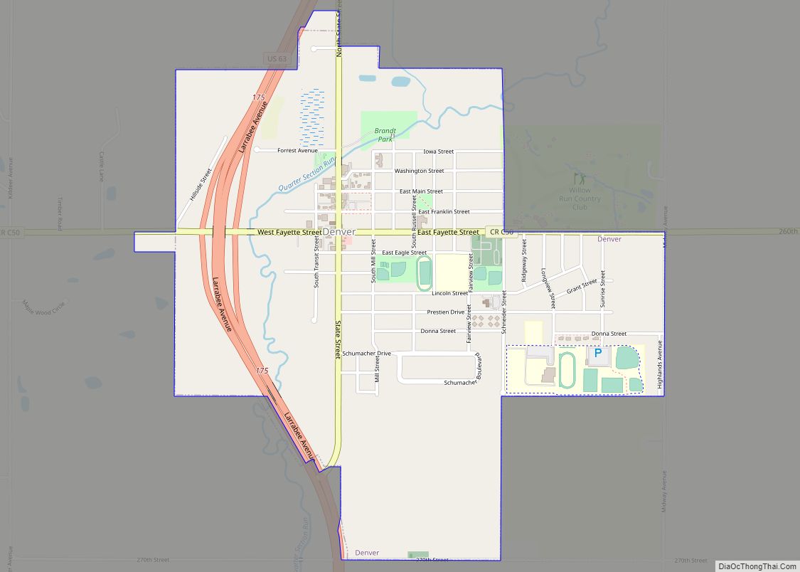
Denver is a city in Bremer County in the U.S. state of Iowa. The population was 1,919 at the time of the 2020 census. It is part of the Waterloo–Cedar Falls Metropolitan Statistical Area. Denver city overview: Name: Denver city LSAD Code: 25 LSAD Description: city (suffix) State: Iowa County: Bremer County Elevation: 948 ft (289 m) ... Read more
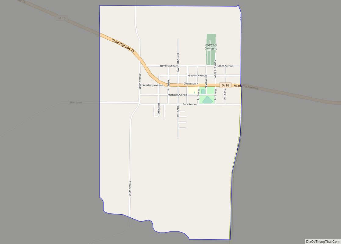
Denmark is an unincorporated community and census-designated place in northeastern Lee County, Iowa, United States. It lies along Iowa Highway 16, north of the city of Fort Madison, the county seat of Lee County. Its elevation is 722 feet (220 m) above sea level. Although Denmark is unincorporated, it has a post office with the ZIP ... Read more
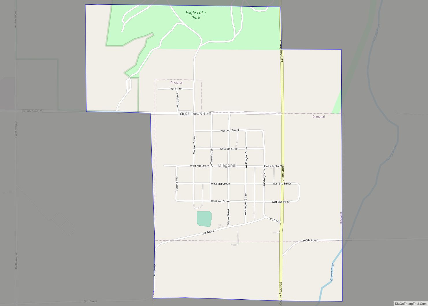
Diagonal is a city in northwest Ringgold County, Iowa, United States. The population was 344 at the time of the 2020 census. The community was named for the fact that two railroads intersected diagonally near the town site. Diagonal city overview: Name: Diagonal city LSAD Code: 25 LSAD Description: city (suffix) State: Iowa County: Ringgold ... Read more
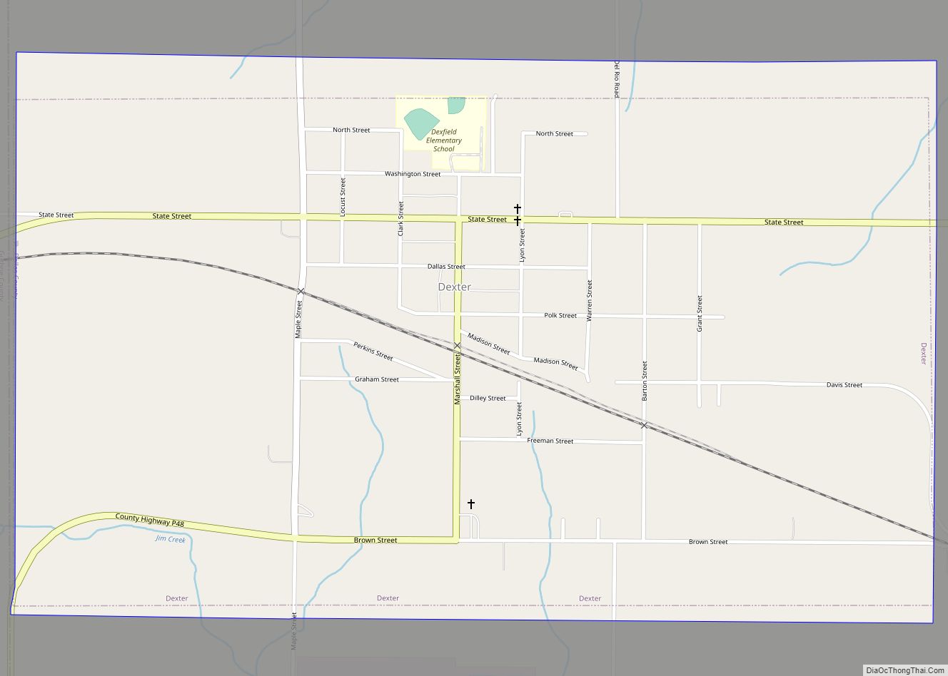
Dexter is a city in Dallas County, Iowa, United States. The population was 640 at the time of the 2020 census. It is part of the Des Moines–West Des Moines Metropolitan Statistical Area. Dexter city overview: Name: Dexter city LSAD Code: 25 LSAD Description: city (suffix) State: Iowa County: Dallas County Elevation: 1,142 ft (348 m) Total ... Read more
DeWitt is a city in Clinton County, Iowa, United States. The population was 5,215 at the time of the 2020 census, which represented a 9.2% increase over that of 2000, making it the fastest growing city in Clinton County. DeWitt city overview: Name: DeWitt city LSAD Code: 25 LSAD Description: city (suffix) State: Iowa County: ... Read more
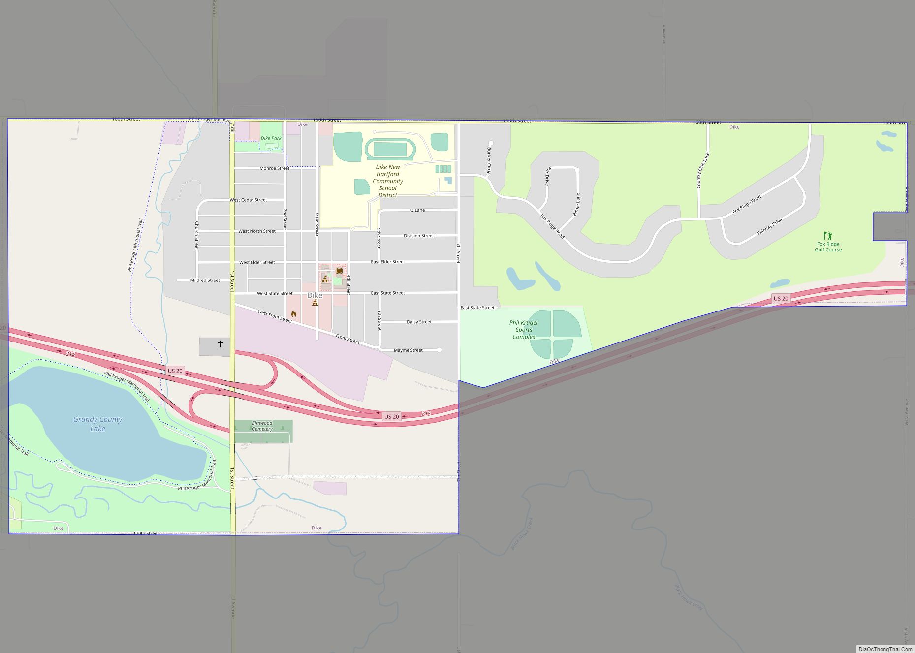
Dike is a city in Grundy County, Iowa, United States. The population was 1,304 at the 2020 census, an increase of 38% over the total of 944 residents in 2000. It is part of the Waterloo–Cedar Falls Metropolitan Statistical Area. Dike city overview: Name: Dike city LSAD Code: 25 LSAD Description: city (suffix) State: Iowa ... Read more
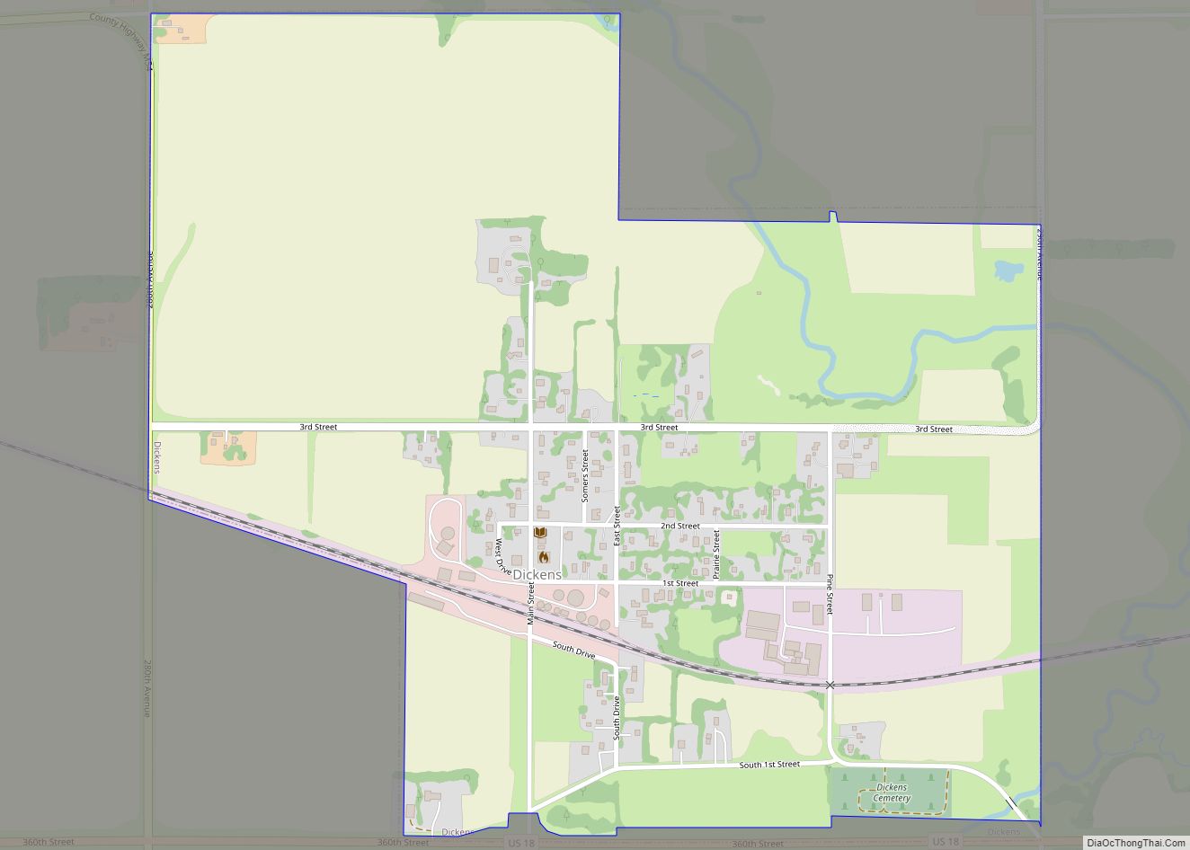
Dickens is a city in Clay County, Iowa, United States. The population was 146 in the 2020 census, a decline from 202 in 2000. Dickens city overview: Name: Dickens city LSAD Code: 25 LSAD Description: city (suffix) State: Iowa County: Clay County Elevation: 1,335 ft (407 m) Total Area: 0.83 sq mi (2.16 km²) Land Area: 0.83 sq mi (2.16 km²) Water Area: ... Read more
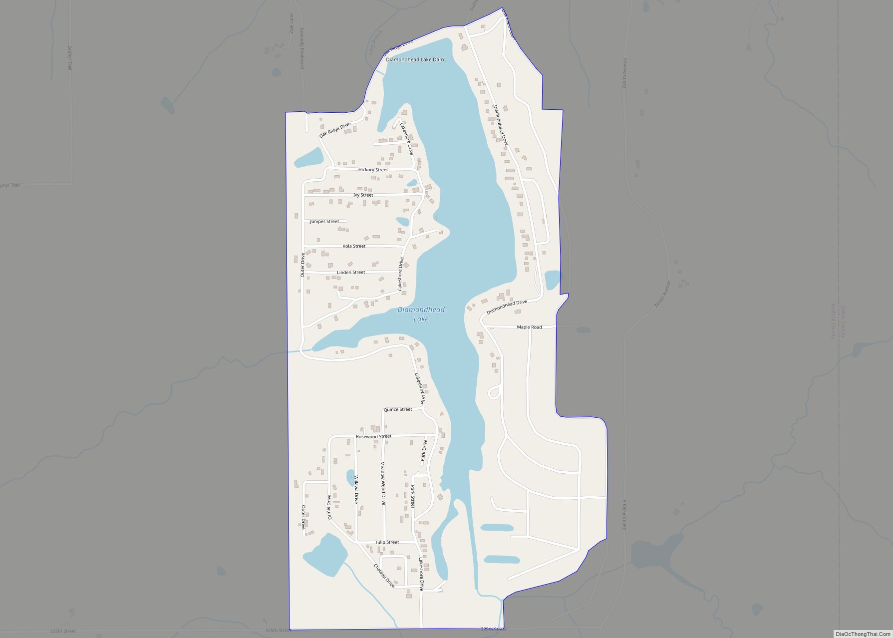
Diamondhead Lake is an unincorporated community and census-designated place in Penn Township, Guthrie County, Iowa, United States. As of the 2010 census the population was 366. The CDP consists of a residential community that surrounds Diamondhead Lake, an artificial impoundment just south of the South Raccoon River. The community is located in the southeast corner ... Read more
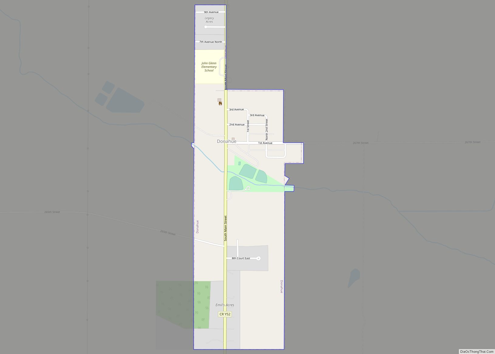
Donahue is a city in Scott County, Iowa, United States. The population was 335 at the 2020 census. The city has a mayor-council form of government. Donahue city overview: Name: Donahue city LSAD Code: 25 LSAD Description: city (suffix) State: Iowa County: Scott County Elevation: 709 ft (216 m) Land Area: 0.35 sq mi (0.92 km²) Water Area: 0.00 sq mi (0.00 km²) ... Read more

