DeWitt is a city in Clinton County, Iowa, United States. The population was 5,215 at the time of the 2020 census, which represented a 9.2% increase over that of 2000, making it the fastest growing city in Clinton County.
| Name: | DeWitt city |
|---|---|
| LSAD Code: | 25 |
| LSAD Description: | city (suffix) |
| State: | Iowa |
| County: | Clinton County |
| Elevation: | 709 ft (216 m) |
| Total Area: | 6.23 sq mi (16.12 km²) |
| Land Area: | 6.22 sq mi (16.11 km²) |
| Water Area: | 0.00 sq mi (0.01 km²) |
| Total Population: | 5,514 |
| Population Density: | 886.21/sq mi (342.17/km²) |
| ZIP code: | 52742 |
| Area code: | 563 |
| FIPS code: | 1921180 |
| GNISfeature ID: | 0455826 |
| Website: | www.cityofdewittiowa.org |
Online Interactive Map
Click on ![]() to view map in "full screen" mode.
to view map in "full screen" mode.
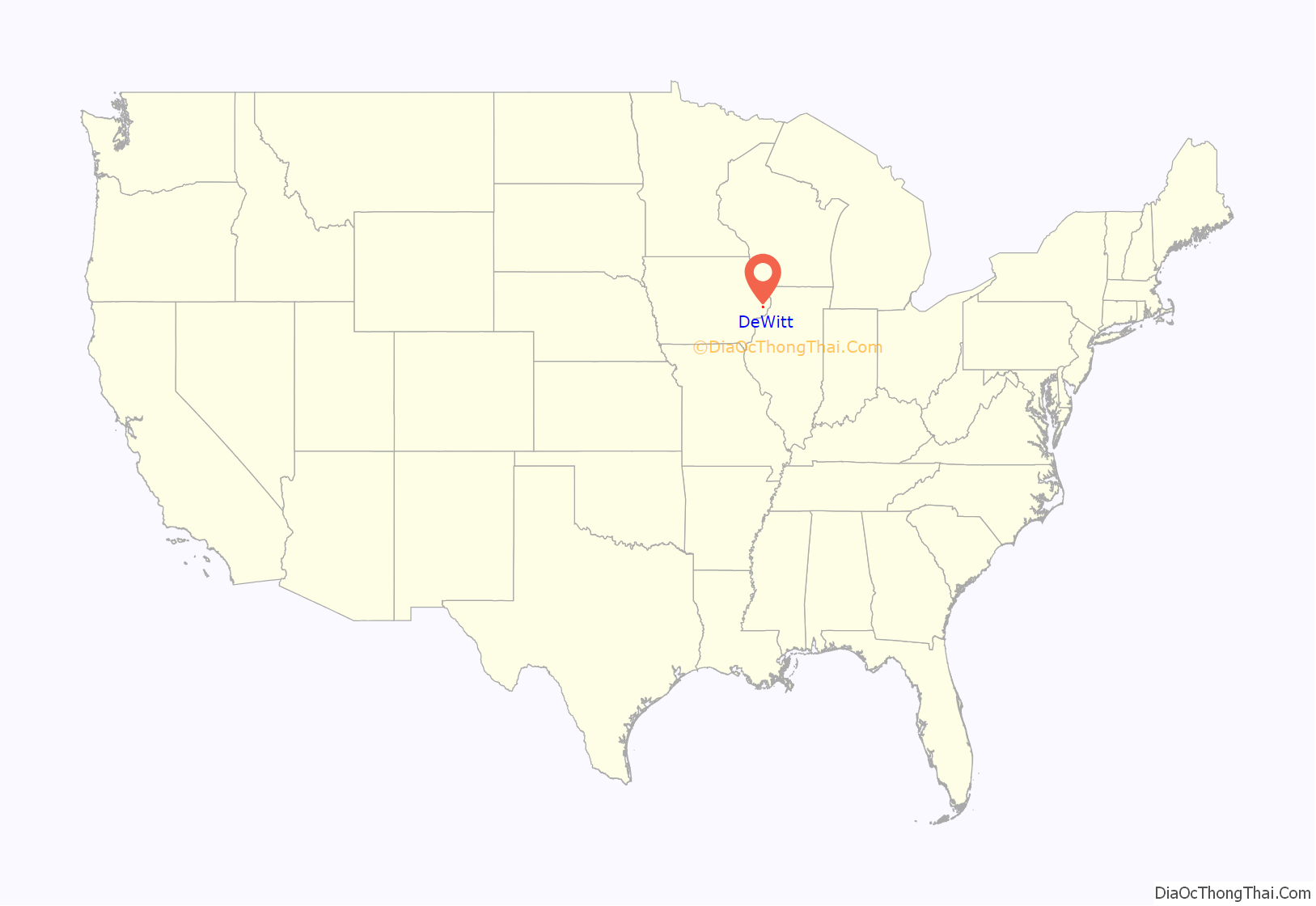
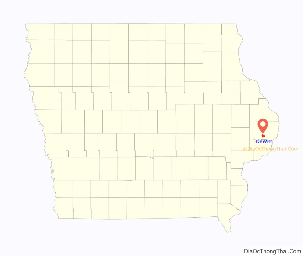
DeWitt location map. Where is DeWitt city?
History
DeWitt was platted in 1836. The city started under the name Vandenburg, but was later named after DeWitt Clinton (1769–1828), an early American politician who served as United States Senator and seventh Governor of New York.
Ralph Waldo Emerson gave a lyceum lecture at DeWitt in January 1866.
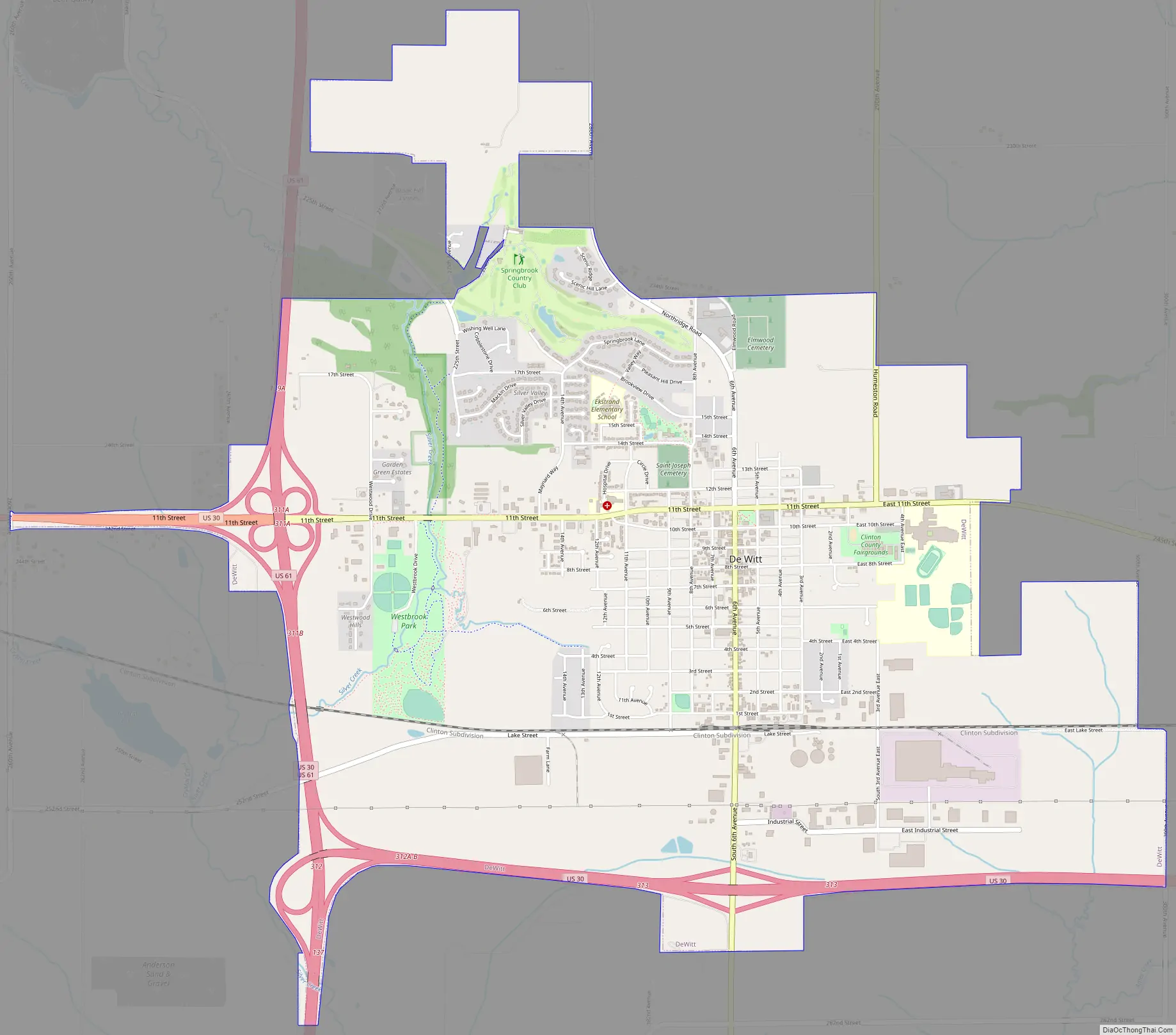
DeWitt Road Map
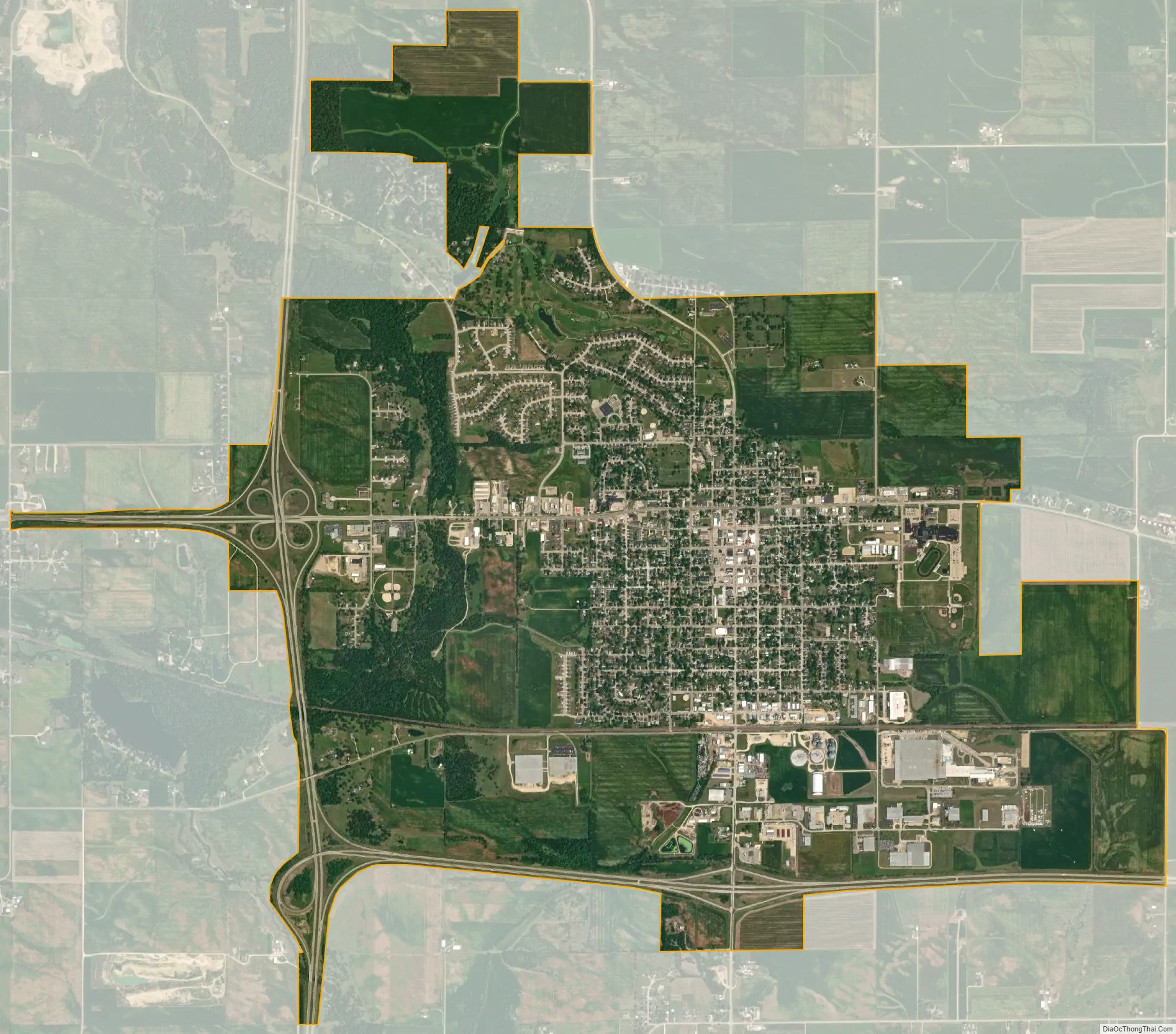
DeWitt city Satellite Map
Geography
DeWitt is located at 41°49′22″N 90°32′34″W / 41.82278°N 90.54278°W / 41.82278; -90.54278 (41.822684, -90.542643).
According to the United States Census Bureau, the city has a total area of 5.98 square miles (15.49 km), all land.
See also
Map of Iowa State and its subdivision:- Adair
- Adams
- Allamakee
- Appanoose
- Audubon
- Benton
- Black Hawk
- Boone
- Bremer
- Buchanan
- Buena Vista
- Butler
- Calhoun
- Carroll
- Cass
- Cedar
- Cerro Gordo
- Cherokee
- Chickasaw
- Clarke
- Clay
- Clayton
- Clinton
- Crawford
- Dallas
- Davis
- Decatur
- Delaware
- Des Moines
- Dickinson
- Dubuque
- Emmet
- Fayette
- Floyd
- Franklin
- Fremont
- Greene
- Grundy
- Guthrie
- Hamilton
- Hancock
- Hardin
- Harrison
- Henry
- Howard
- Humboldt
- Ida
- Iowa
- Jackson
- Jasper
- Jefferson
- Johnson
- Jones
- Keokuk
- Kossuth
- Lee
- Linn
- Louisa
- Lucas
- Lyon
- Madison
- Mahaska
- Marion
- Marshall
- Mills
- Mitchell
- Monona
- Monroe
- Montgomery
- Muscatine
- O'Brien
- Osceola
- Page
- Palo Alto
- Plymouth
- Pocahontas
- Polk
- Pottawattamie
- Poweshiek
- Ringgold
- Sac
- Scott
- Shelby
- Sioux
- Story
- Tama
- Taylor
- Union
- Van Buren
- Wapello
- Warren
- Washington
- Wayne
- Webster
- Winnebago
- Winneshiek
- Woodbury
- Worth
- Wright
- Alabama
- Alaska
- Arizona
- Arkansas
- California
- Colorado
- Connecticut
- Delaware
- District of Columbia
- Florida
- Georgia
- Hawaii
- Idaho
- Illinois
- Indiana
- Iowa
- Kansas
- Kentucky
- Louisiana
- Maine
- Maryland
- Massachusetts
- Michigan
- Minnesota
- Mississippi
- Missouri
- Montana
- Nebraska
- Nevada
- New Hampshire
- New Jersey
- New Mexico
- New York
- North Carolina
- North Dakota
- Ohio
- Oklahoma
- Oregon
- Pennsylvania
- Rhode Island
- South Carolina
- South Dakota
- Tennessee
- Texas
- Utah
- Vermont
- Virginia
- Washington
- West Virginia
- Wisconsin
- Wyoming


