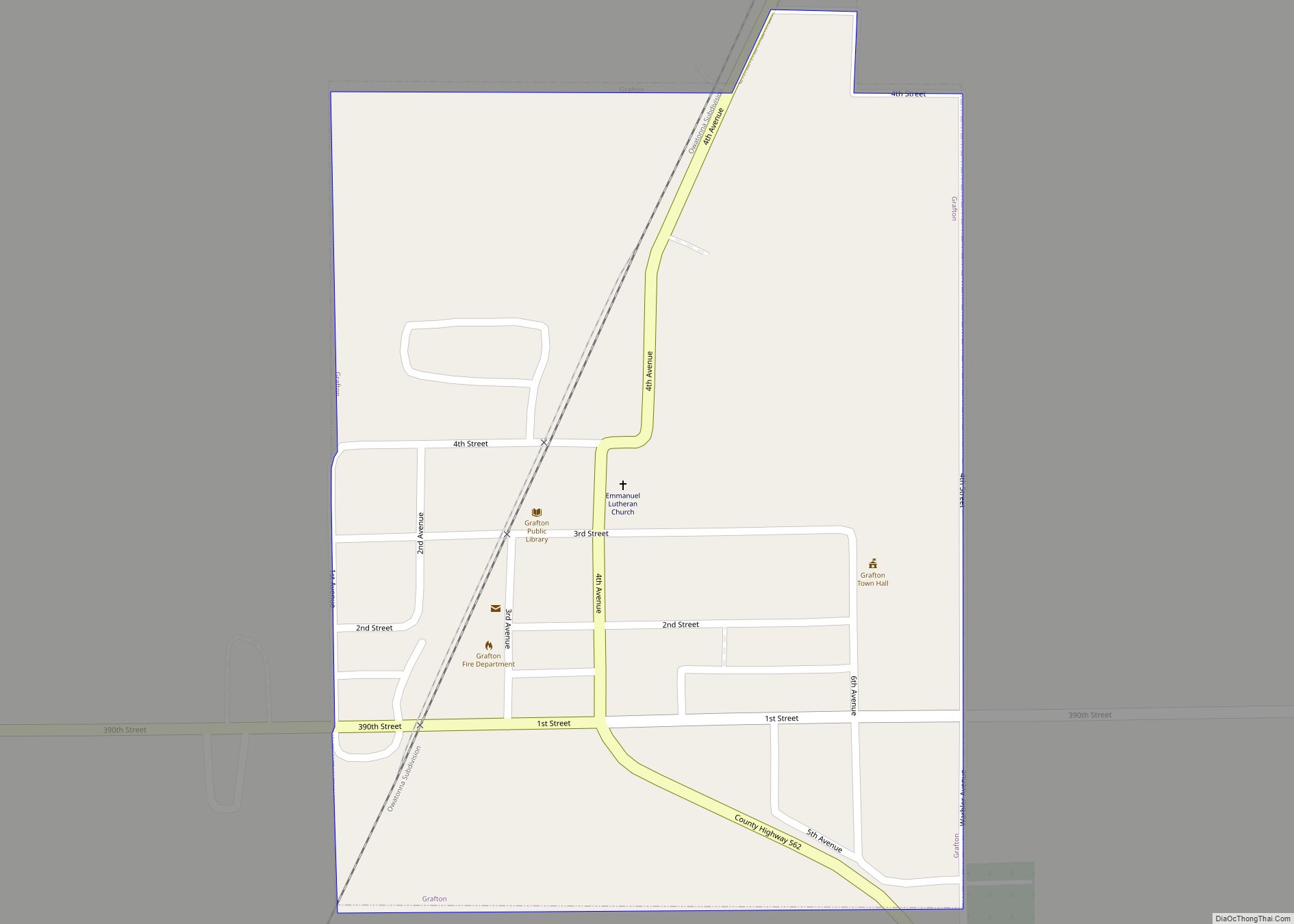
Grafton is a city in Worth County, Iowa, United States. The population was 216 in the 2020 census, a decrease of 13.1% from the 290 population in the 2000 census. It is part of the Mason City Micropolitan Statistical Area. Grafton city overview: Name: Grafton city LSAD Code: 25 LSAD Description: city (suffix) State: Iowa ... Read more
Iowa Cities and Places
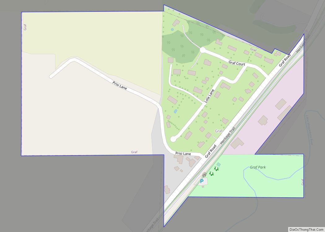
Graf is a city in Dubuque County, Iowa, United States. It is part of the ‘Dubuque, Iowa Metropolitan Statistical Area’. The population was 76 at the time of the 2020 census, up from 73 in 2000. Graf city overview: Name: Graf city LSAD Code: 25 LSAD Description: city (suffix) State: Iowa County: Dubuque County Elevation: ... Read more
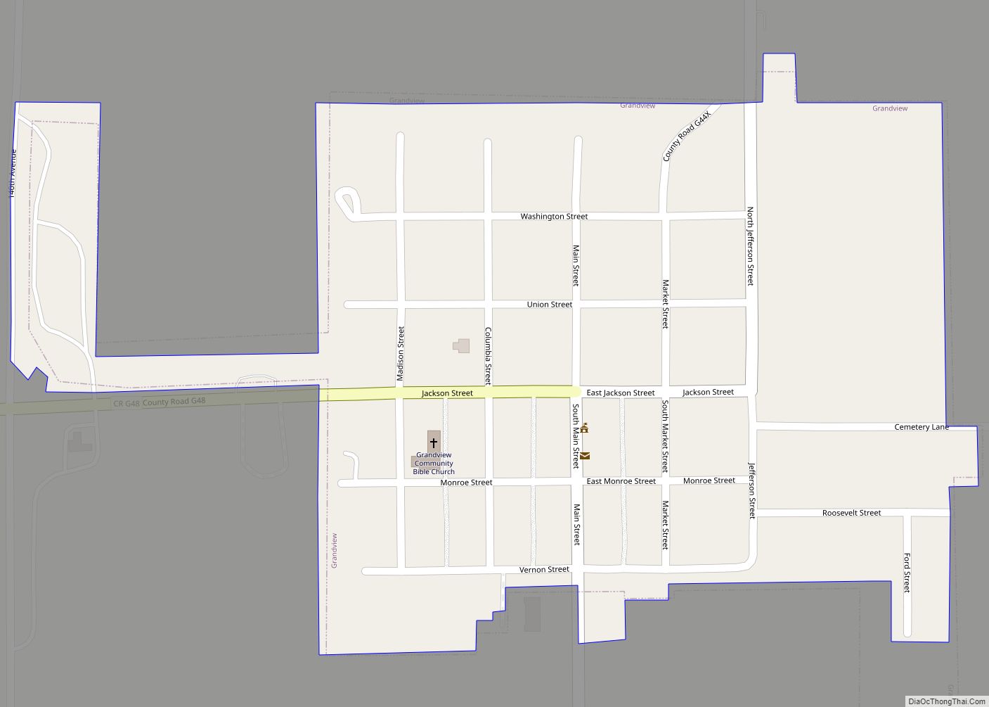
Grandview is a city in Louisa County, Iowa, United States. The population was 437 at the time of the 2020 census. It is part of the Muscatine Micropolitan Statistical Area. Grandview city overview: Name: Grandview city LSAD Code: 25 LSAD Description: city (suffix) State: Iowa County: Louisa County Elevation: 715 ft (218 m) Total Area: 0.23 sq mi (0.59 km²) ... Read more
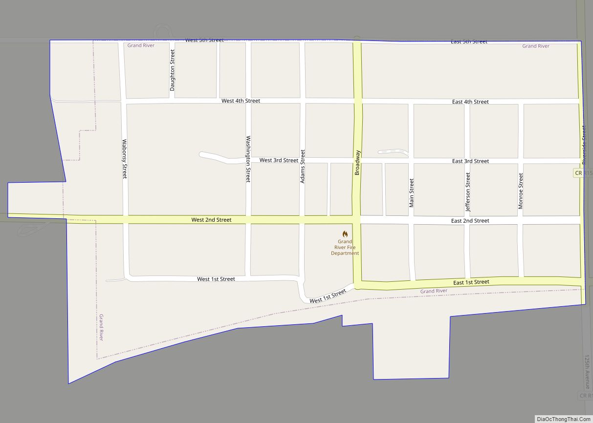
Grand River is a city in northwest Decatur County, Iowa, United States. The population was 196 at the time of the 2020 census. Grand River city overview: Name: Grand River city LSAD Code: 25 LSAD Description: city (suffix) State: Iowa County: Decatur County Elevation: 1,014 ft (309 m) Total Area: 0.19 sq mi (0.49 km²) Land Area: 0.19 sq mi (0.49 km²) Water ... Read more
Grand Mound is a city in Clinton County, Iowa, United States. The population was 615 at the time of the 2020 census. Grand Mound city overview: Name: Grand Mound city LSAD Code: 25 LSAD Description: city (suffix) State: Iowa County: Clinton County Elevation: 725 ft (221 m) Total Area: 1.87 sq mi (4.85 km²) Land Area: 1.87 sq mi (4.85 km²) Water Area: ... Read more
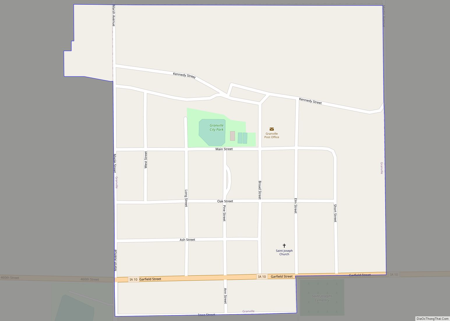
Granville is a city in Sioux County, Iowa, United States. The population was 310 at the time of the 2020 census. Granville city overview: Name: Granville city LSAD Code: 25 LSAD Description: city (suffix) State: Iowa County: Sioux County Incorporated: June 22, 1891 Elevation: 1,450 ft (442 m) Total Area: 0.29 sq mi (0.75 km²) Land Area: 0.29 sq mi (0.75 km²) Water ... Read more
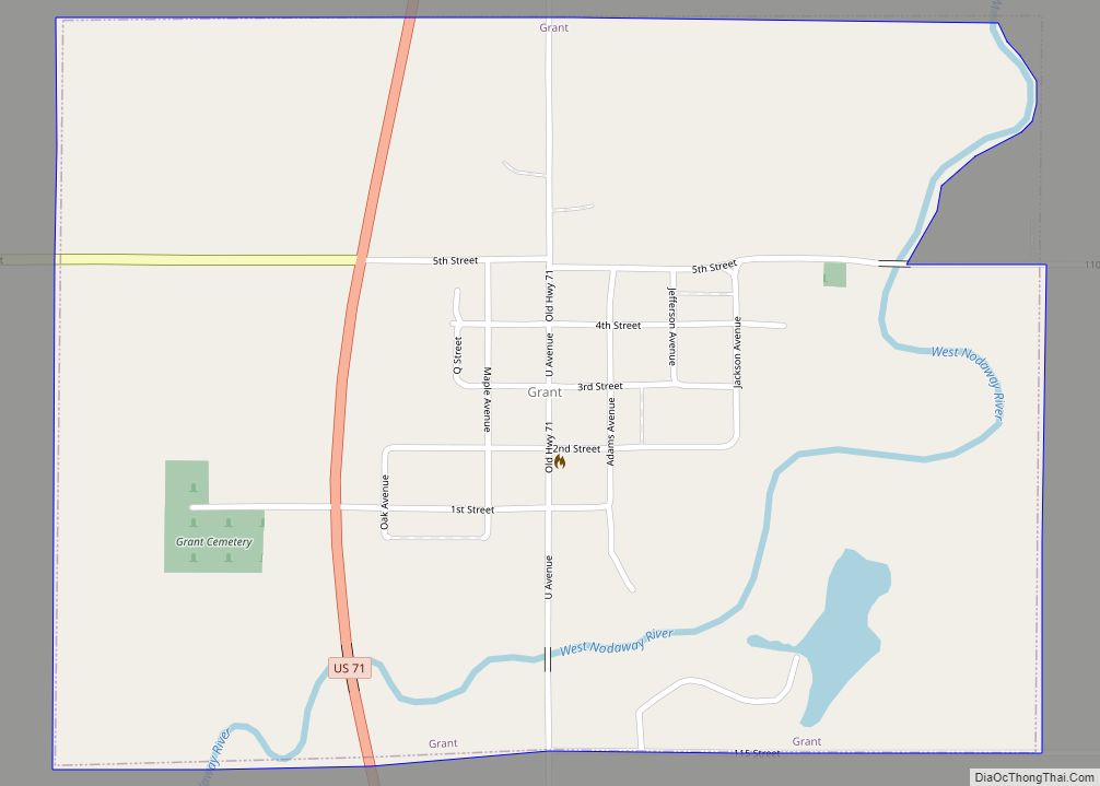
Grant is a city in Montgomery County, Iowa, United States. The population was 86 at the time of the 2020 census. Grant city overview: Name: Grant city LSAD Code: 25 LSAD Description: city (suffix) State: Iowa County: Montgomery County Elevation: 1,145 ft (349 m) Total Area: 0.74 sq mi (1.93 km²) Land Area: 0.73 sq mi (1.90 km²) Water Area: 0.01 sq mi (0.03 km²) Total ... Read more
Granger is a city in Dallas and Polk counties in the U.S. state of Iowa. The population was 1,654 at the time of the 2020 census, up 184% from 583 in 2000. It is part of the Des Moines–West Des Moines Metropolitan Statistical Area. Granger city overview: Name: Granger city LSAD Code: 25 LSAD Description: ... Read more
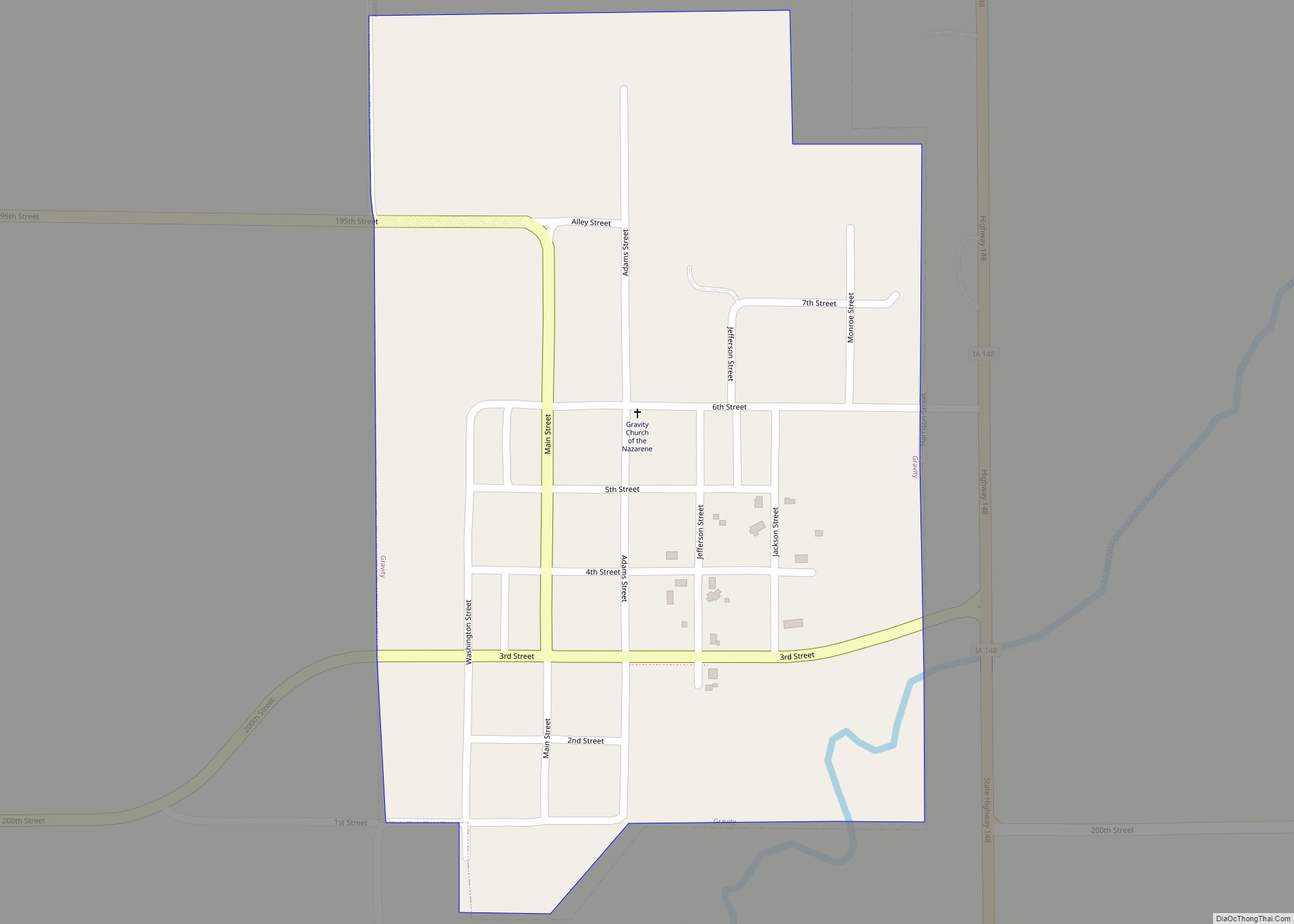
Gravity is a city in Taylor County, Iowa, United States. The population was 154 at the time of the 2020 census. Gravity city overview: Name: Gravity city LSAD Code: 25 LSAD Description: city (suffix) State: Iowa County: Taylor County Elevation: 1,201 ft (366 m) Total Area: 0.34 sq mi (0.87 km²) Land Area: 0.34 sq mi (0.87 km²) Water Area: 0.00 sq mi (0.00 km²) Total ... Read more
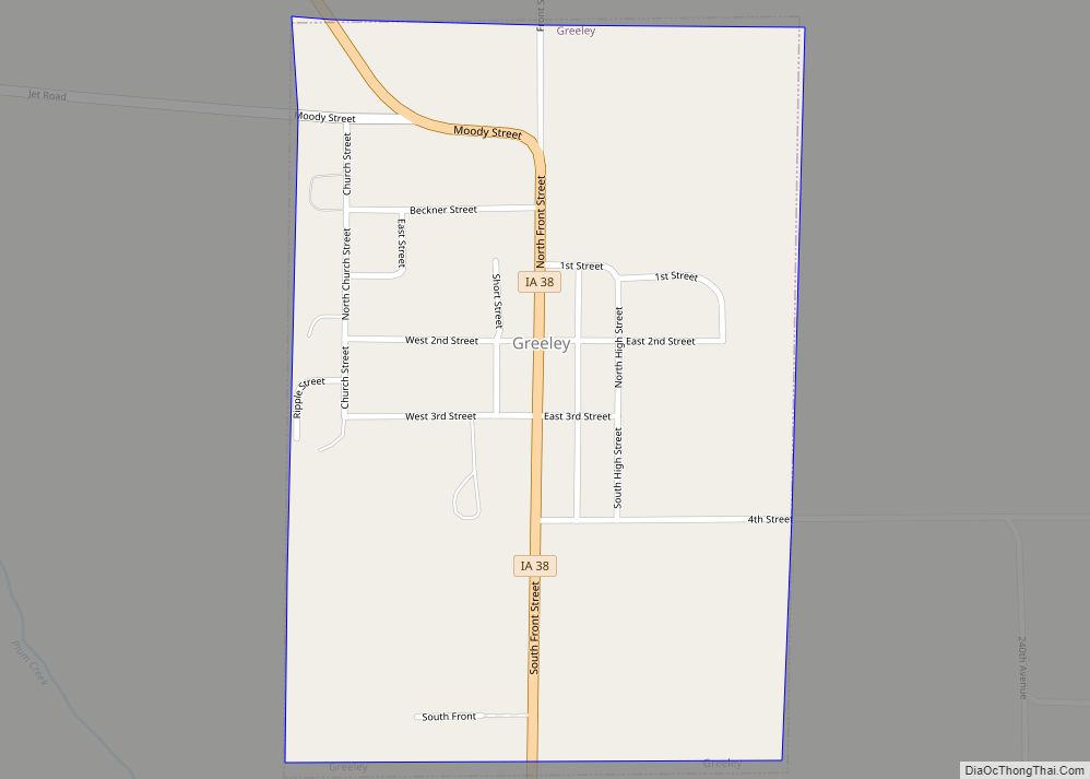
Greeley is a city in Delaware County, Iowa, United States. The population was 217 at the time of the 2020 census. Greeley city overview: Name: Greeley city LSAD Code: 25 LSAD Description: city (suffix) State: Iowa County: Delaware County Elevation: 1,152 ft (351 m) Total Area: 0.38 sq mi (0.97 km²) Land Area: 0.38 sq mi (0.97 km²) Water Area: 0.00 sq mi (0.00 km²) Total ... Read more
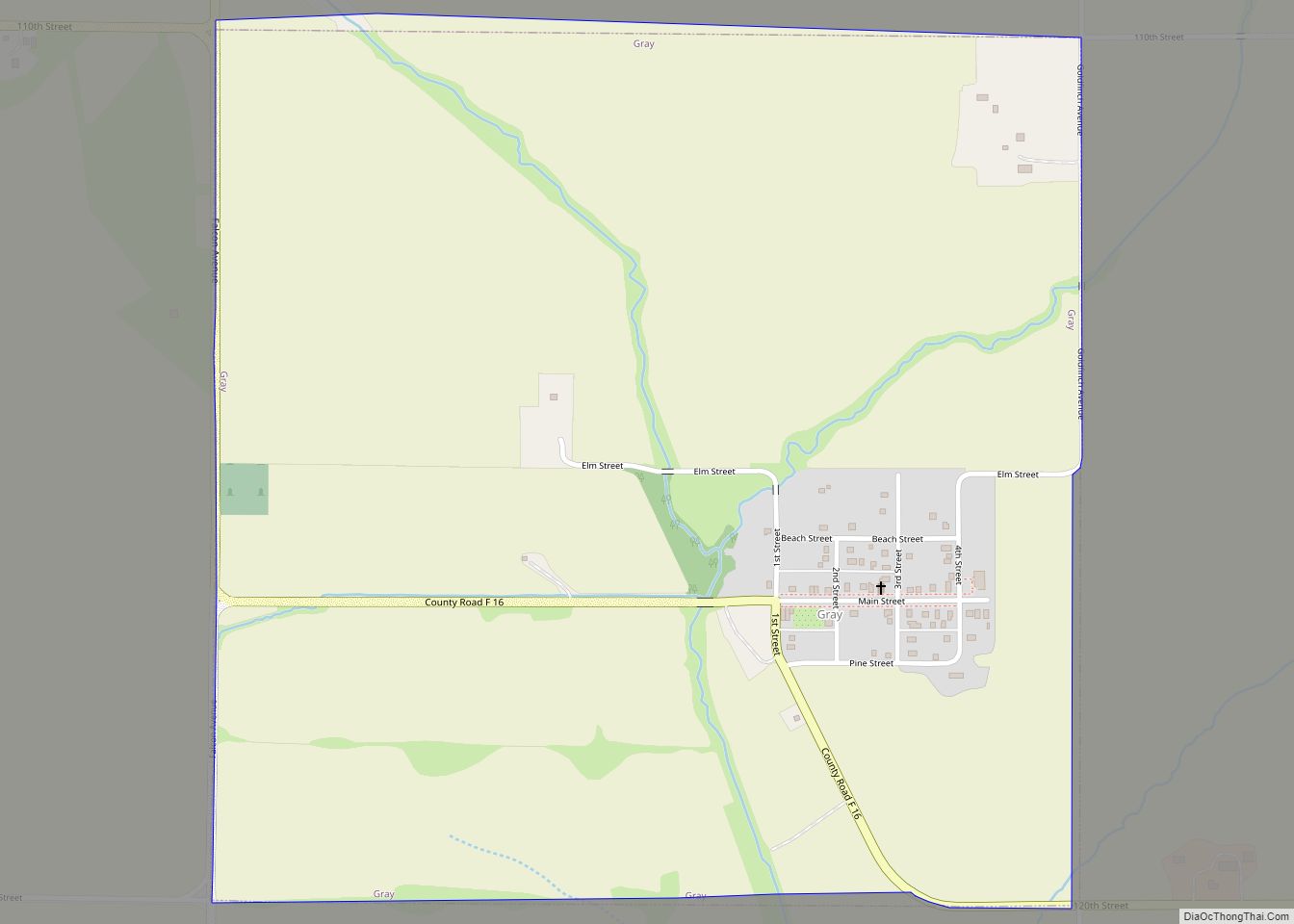
Gray is a city in Audubon County, Iowa, United States, along the East Branch of the West Nishnabotna River. The population was 61 at the time of the 2020 census. Gray city overview: Name: Gray city LSAD Code: 25 LSAD Description: city (suffix) State: Iowa County: Audubon County Elevation: 1,365 ft (416 m) Total Area: 1.00 sq mi (2.58 km²) ... Read more
Greenfield is a city and county seat of Adair County, Iowa, United States. As of the 2020 census, the city population was 2,062. Greenfield city overview: Name: Greenfield city LSAD Code: 25 LSAD Description: city (suffix) State: Iowa County: Adair County Elevation: 1,371 ft (418 m) Total Area: 1.78 sq mi (4.62 km²) Land Area: 1.78 sq mi (4.62 km²) Water Area: 0.00 sq mi ... Read more
