Greenfield is a city and county seat of Adair County, Iowa, United States. As of the 2020 census, the city population was 2,062.
| Name: | Greenfield city |
|---|---|
| LSAD Code: | 25 |
| LSAD Description: | city (suffix) |
| State: | Iowa |
| County: | Adair County |
| Elevation: | 1,371 ft (418 m) |
| Total Area: | 1.78 sq mi (4.62 km²) |
| Land Area: | 1.78 sq mi (4.62 km²) |
| Water Area: | 0.00 sq mi (0.00 km²) |
| Total Population: | 2,062 |
| Population Density: | 1,155.18/sq mi (446.11/km²) |
| ZIP code: | 50849 |
| Area code: | 641 |
| FIPS code: | 1932790 |
| GNISfeature ID: | 0457121 |
| Website: | greenfieldiowa.com |
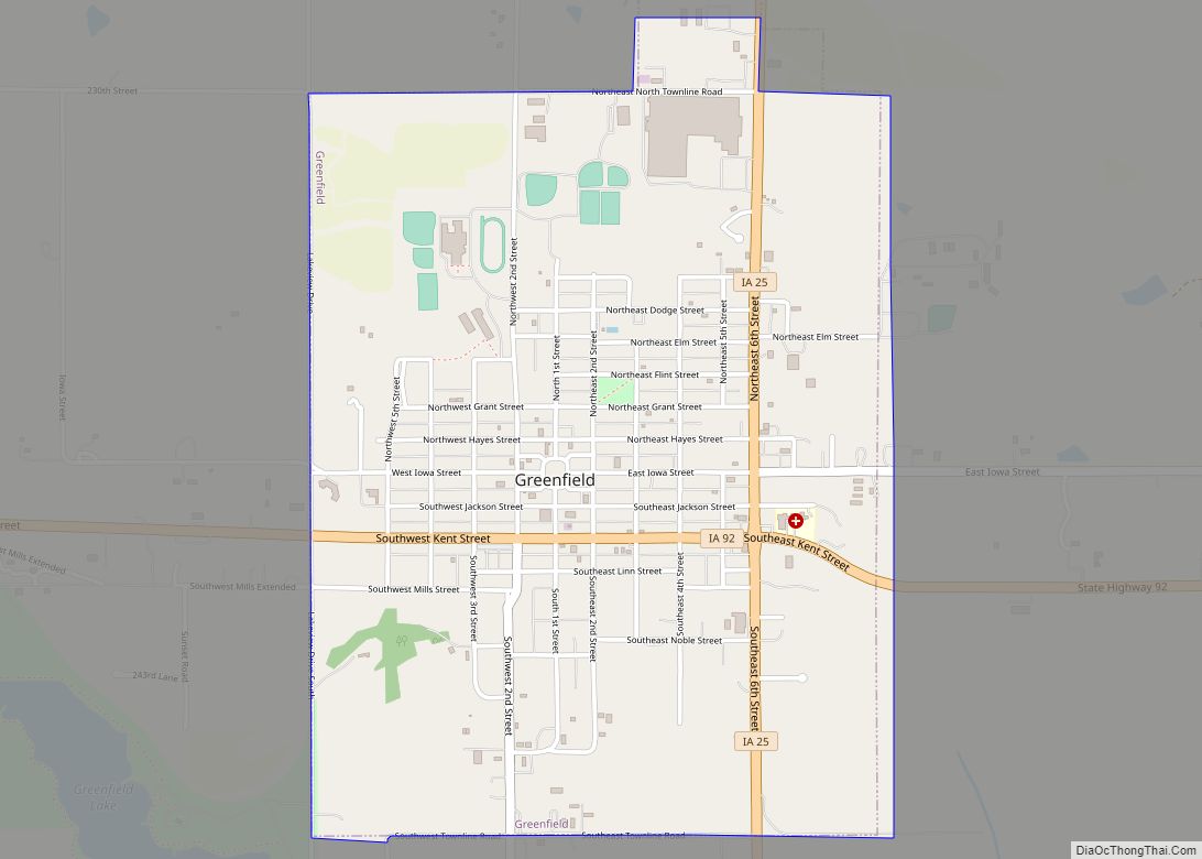
Online Interactive Map
Click on ![]() to view map in "full screen" mode.
to view map in "full screen" mode.
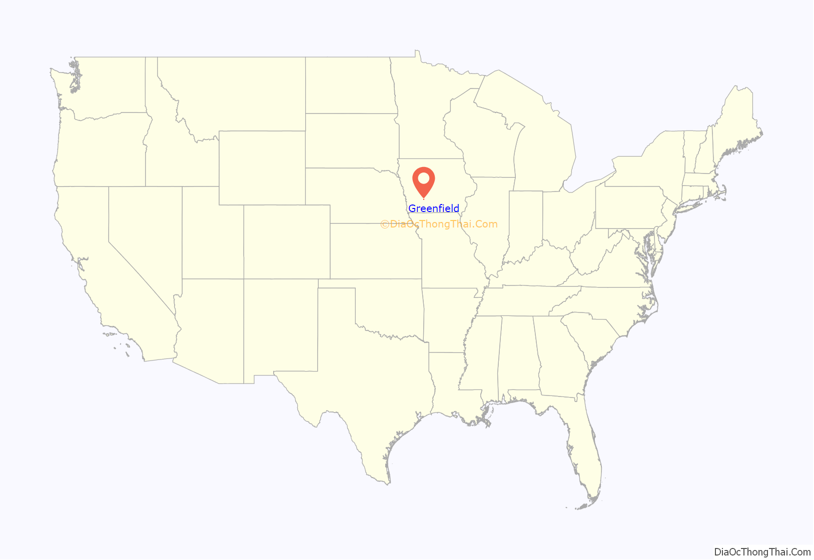
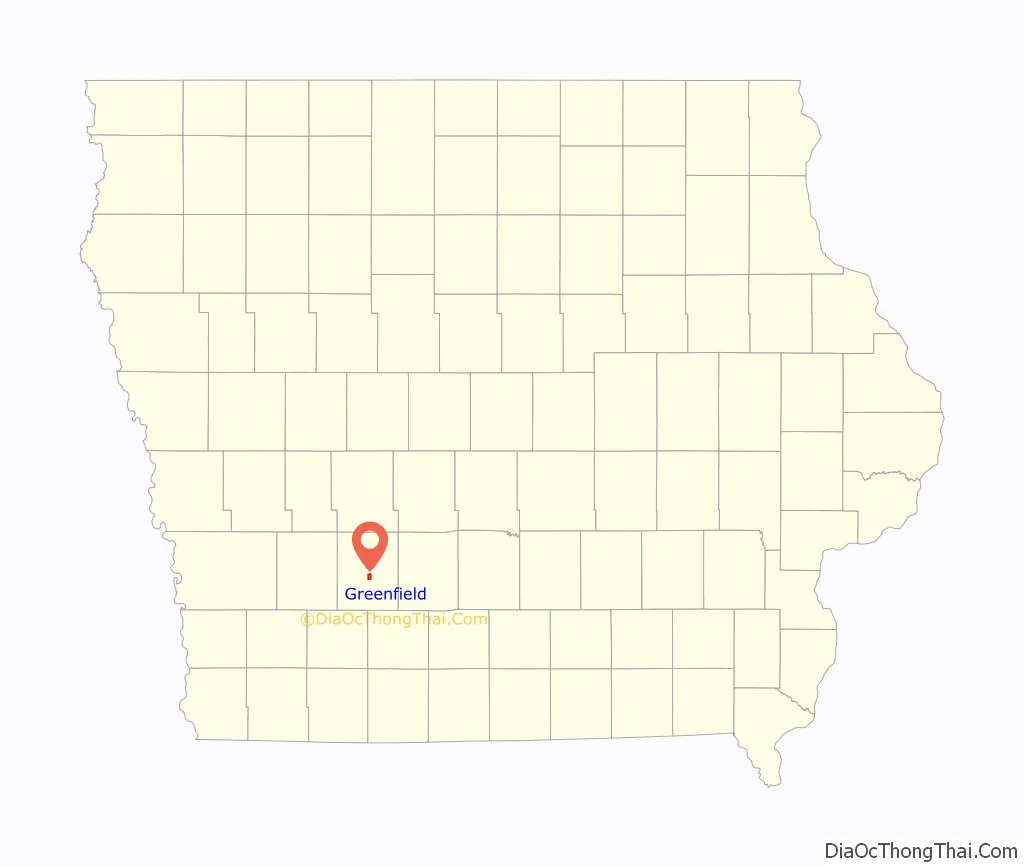
Greenfield location map. Where is Greenfield city?
History
The area around Greenfield was settled in 1854. The plan for the town of Greenfield was created in 1856 when the land was purchased by Milton C. Munger. Munger is responsible for the design of Greenfield’s unique Lancaster-style town square, and the city park located at Grant and NE Second Street was also included in the original plat. Greenfield is named after Greenfield, Massachusetts. Greenfield became the county seat in 1875, after battling out nearby Fontanelle for the title. The city was incorporated on May 22, 1876.
Greenfield is home to four entries on the National Register of Historic Places, the E. E. Warren Opera House listed in 1970; the Adair County Courthouse, listed in 1981; the Adair County Democrat/Adair County Free Press building, listed 2012; and Hotel Greenfield, listed 2012.
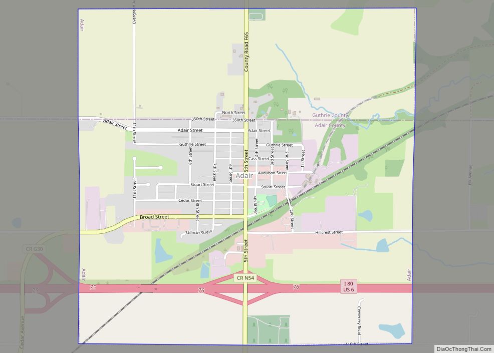
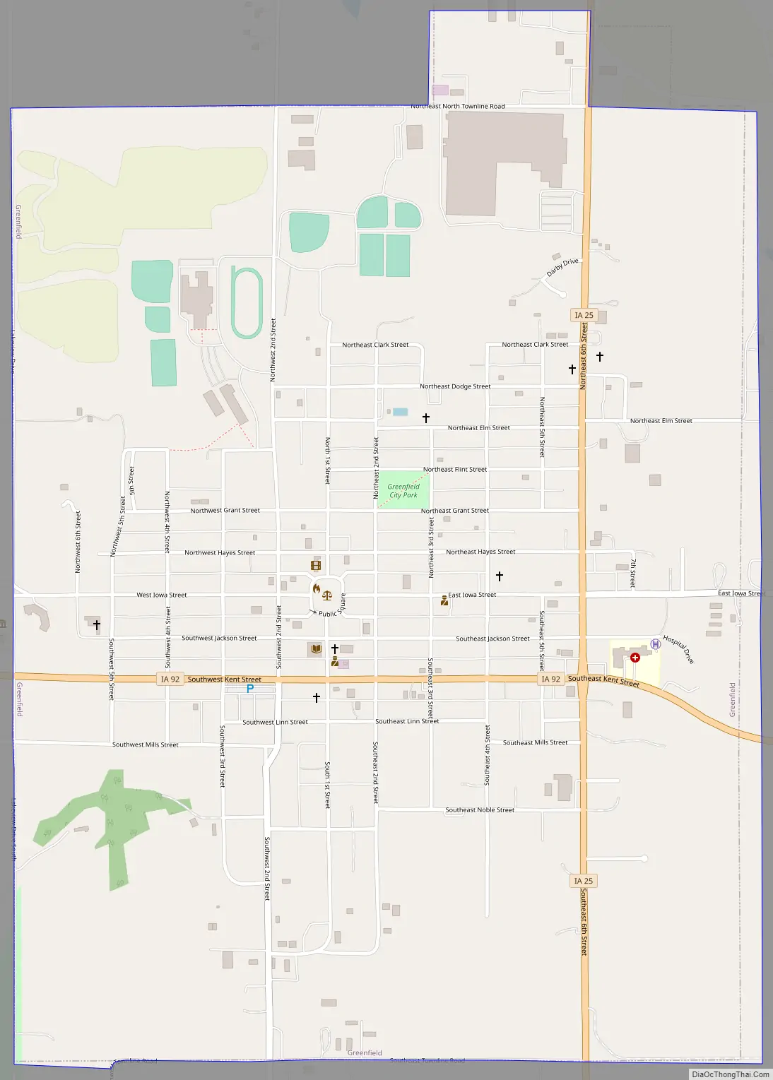
Greenfield Road Map
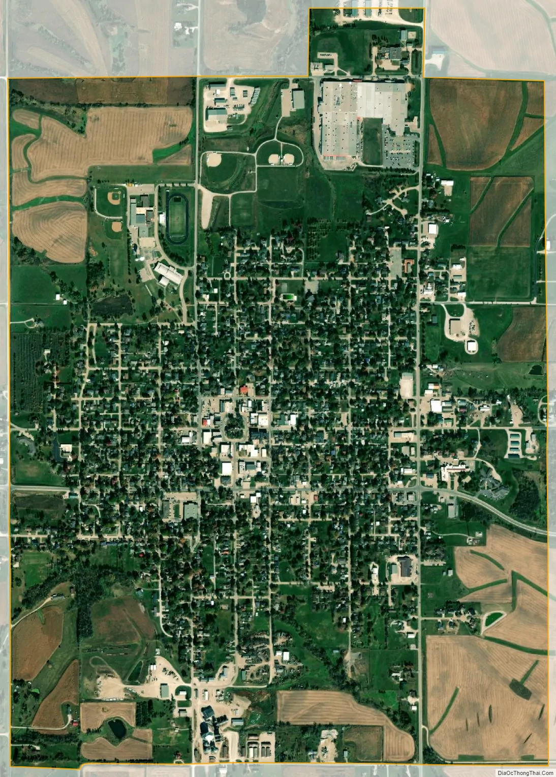
Greenfield city Satellite Map
Geography
Greenfield is located at 41°18′20″N 94°27′31″W / 41.30556°N 94.45861°W / 41.30556; -94.45861 (41.305491, -94.458726). According to the United States Census Bureau, the city has a total area of 1.81 square miles (4.69 km), all land.
See also
Map of Iowa State and its subdivision:- Adair
- Adams
- Allamakee
- Appanoose
- Audubon
- Benton
- Black Hawk
- Boone
- Bremer
- Buchanan
- Buena Vista
- Butler
- Calhoun
- Carroll
- Cass
- Cedar
- Cerro Gordo
- Cherokee
- Chickasaw
- Clarke
- Clay
- Clayton
- Clinton
- Crawford
- Dallas
- Davis
- Decatur
- Delaware
- Des Moines
- Dickinson
- Dubuque
- Emmet
- Fayette
- Floyd
- Franklin
- Fremont
- Greene
- Grundy
- Guthrie
- Hamilton
- Hancock
- Hardin
- Harrison
- Henry
- Howard
- Humboldt
- Ida
- Iowa
- Jackson
- Jasper
- Jefferson
- Johnson
- Jones
- Keokuk
- Kossuth
- Lee
- Linn
- Louisa
- Lucas
- Lyon
- Madison
- Mahaska
- Marion
- Marshall
- Mills
- Mitchell
- Monona
- Monroe
- Montgomery
- Muscatine
- O'Brien
- Osceola
- Page
- Palo Alto
- Plymouth
- Pocahontas
- Polk
- Pottawattamie
- Poweshiek
- Ringgold
- Sac
- Scott
- Shelby
- Sioux
- Story
- Tama
- Taylor
- Union
- Van Buren
- Wapello
- Warren
- Washington
- Wayne
- Webster
- Winnebago
- Winneshiek
- Woodbury
- Worth
- Wright
- Alabama
- Alaska
- Arizona
- Arkansas
- California
- Colorado
- Connecticut
- Delaware
- District of Columbia
- Florida
- Georgia
- Hawaii
- Idaho
- Illinois
- Indiana
- Iowa
- Kansas
- Kentucky
- Louisiana
- Maine
- Maryland
- Massachusetts
- Michigan
- Minnesota
- Mississippi
- Missouri
- Montana
- Nebraska
- Nevada
- New Hampshire
- New Jersey
- New Mexico
- New York
- North Carolina
- North Dakota
- Ohio
- Oklahoma
- Oregon
- Pennsylvania
- Rhode Island
- South Carolina
- South Dakota
- Tennessee
- Texas
- Utah
- Vermont
- Virginia
- Washington
- West Virginia
- Wisconsin
- Wyoming