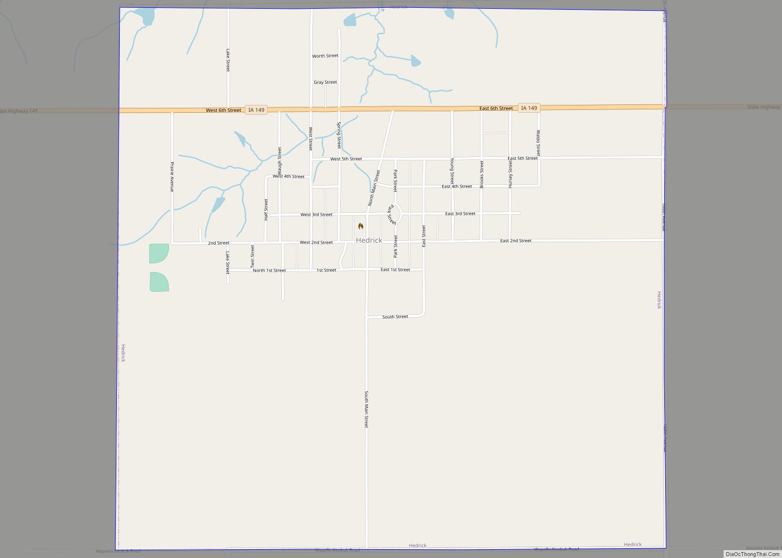
Hedrick is a city in Keokuk County, Iowa, United States. The population was 728 at the time of the 2020 census. Hedrick city overview: Name: Hedrick city LSAD Code: 25 LSAD Description: city (suffix) State: Iowa County: Keokuk County Elevation: 820 ft (250 m) Total Area: 1.56 sq mi (4.03 km²) Land Area: 1.56 sq mi (4.03 km²) Water Area: 0.00 sq mi (0.00 km²) Total ... Read more
Iowa Cities and Places
Hazleton is a city in Buchanan County, Iowa, United States. The population was 713 at the time of the 2020 census. Hazleton city overview: Name: Hazleton city LSAD Code: 25 LSAD Description: city (suffix) State: Iowa County: Buchanan County Elevation: 1,010 ft (308 m) Total Area: 0.84 sq mi (2.17 km²) Land Area: 0.80 sq mi (2.07 km²) Water Area: 0.04 sq mi (0.10 km²) Total ... Read more
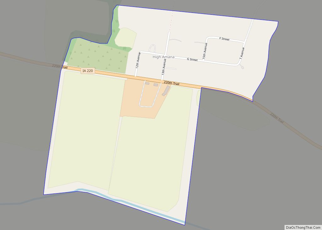
High Amana is an unincorporated community and census-designated place (CDP) in Iowa County, Iowa, United States, and is part of the “seven villages” of the Amana Colonies. As of the 2010 Census, the population of High Amana was 115. High Amana CDP overview: Name: High Amana CDP LSAD Code: 57 LSAD Description: CDP (suffix) State: ... Read more
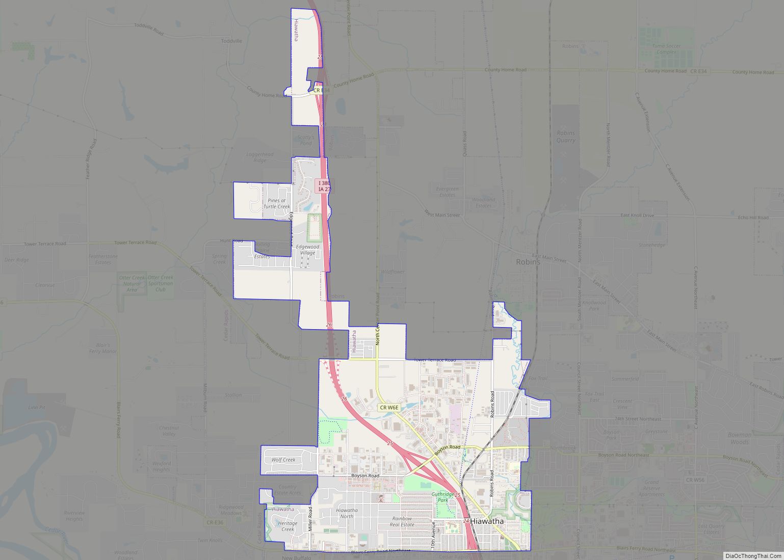
Hiawatha is a city in Linn County, Iowa, United States. It is a suburb located in the northwestern side of Cedar Rapids and is part of the Cedar Rapids Metropolitan Statistical Area. The population was 7,183 at the time of the 2020 census, an increase from 6,480 in 2000. Hiawatha city overview: Name: Hiawatha city ... Read more
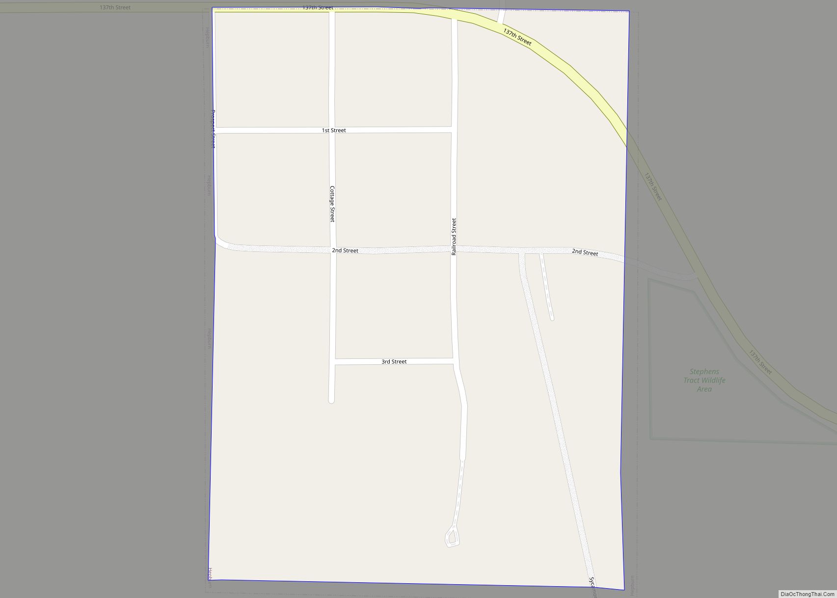
Hepburn is a city in Page County, Iowa, United States. The population was 26 at the time of the 2020 census. Hepburn city overview: Name: Hepburn city LSAD Code: 25 LSAD Description: city (suffix) State: Iowa County: Page County Elevation: 1,027 ft (313 m) Total Area: 0.08 sq mi (0.21 km²) Land Area: 0.08 sq mi (0.21 km²) Water Area: 0.00 sq mi (0.00 km²) Total ... Read more
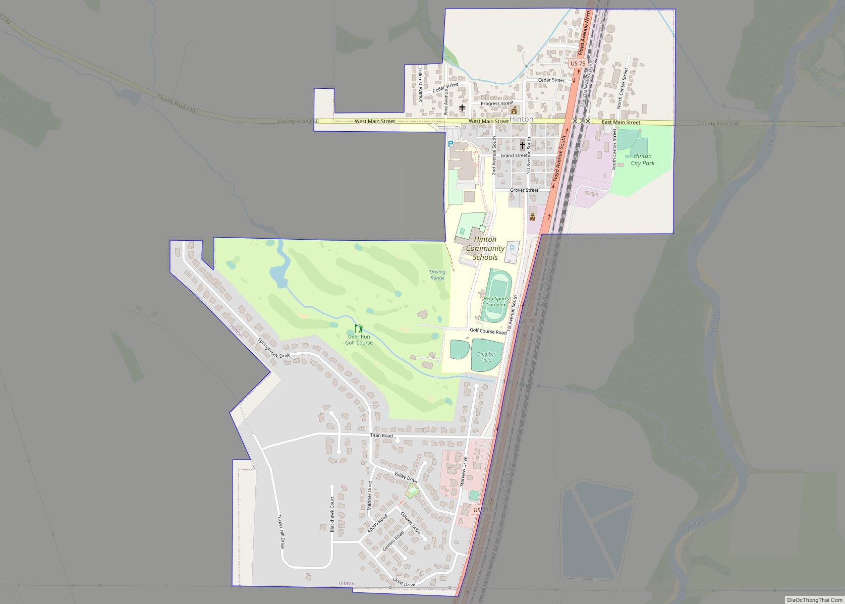
Hinton is a city in Plymouth County, Iowa, United States. The population was 935 at the time of the 2020 census. Hinton city overview: Name: Hinton city LSAD Code: 25 LSAD Description: city (suffix) State: Iowa County: Plymouth County Elevation: 1,148 ft (350 m) Total Area: 0.71 sq mi (1.85 km²) Land Area: 0.71 sq mi (1.85 km²) Water Area: 0.00 sq mi (0.00 km²) Total ... Read more
Hillsboro is a city in Henry County, Iowa, United States. The population was 163 at the time of the 2020 census. Hillsboro city overview: Name: Hillsboro city LSAD Code: 25 LSAD Description: city (suffix) State: Iowa County: Henry County Elevation: 732 ft (223 m) Total Area: 0.58 sq mi (1.50 km²) Land Area: 0.58 sq mi (1.50 km²) Water Area: 0.00 sq mi (0.00 km²) Total ... Read more
Hills is a city in Johnson County, Iowa, United States. It is part of the Iowa City, Iowa Metropolitan Statistical Area. The population was 863 at the time of the 2020 census. It is part of the Iowa City Community School District. Hills city overview: Name: Hills city LSAD Code: 25 LSAD Description: city (suffix) ... Read more
Holstein is a city in Ida County, Iowa, United States. The population was 1,501 in the 2020 census, a 2% increase from 1,470 in 2000. Holstein city overview: Name: Holstein city LSAD Code: 25 LSAD Description: city (suffix) State: Iowa County: Ida County Elevation: 1,450 ft (442 m) Total Area: 1.58 sq mi (4.10 km²) Land Area: 1.58 sq mi (4.08 km²) Water ... Read more
Holland is a city in Grundy County, Iowa, United States. The population was 269 at the time of the 2020 census. It is part of the Waterloo–Cedar Falls Metropolitan Statistical Area. Holland city overview: Name: Holland city LSAD Code: 25 LSAD Description: city (suffix) State: Iowa County: Grundy County Elevation: 1,001 ft (306 m) Total Area: 0.25 sq mi ... Read more
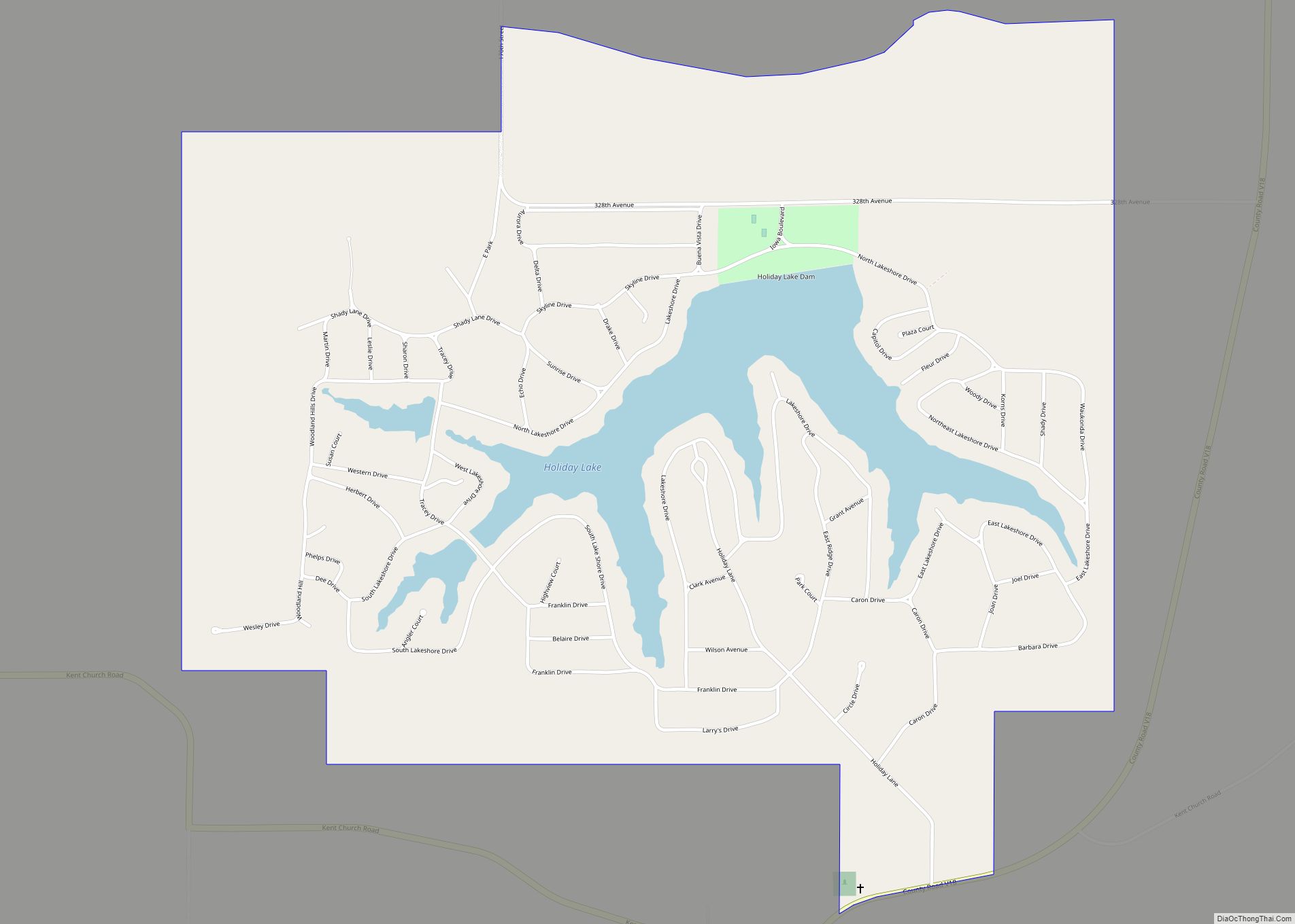
Holiday Lake is a census-designated place located in Brooklyn Township in Poweshiek County in the state of Iowa, United States. As of the 2010 census the population was 433. Holiday Lake is located 8 miles (13 km) north of the city of Brooklyn. The community surrounds a lake of the same name. Holiday Lake CDP overview: ... Read more
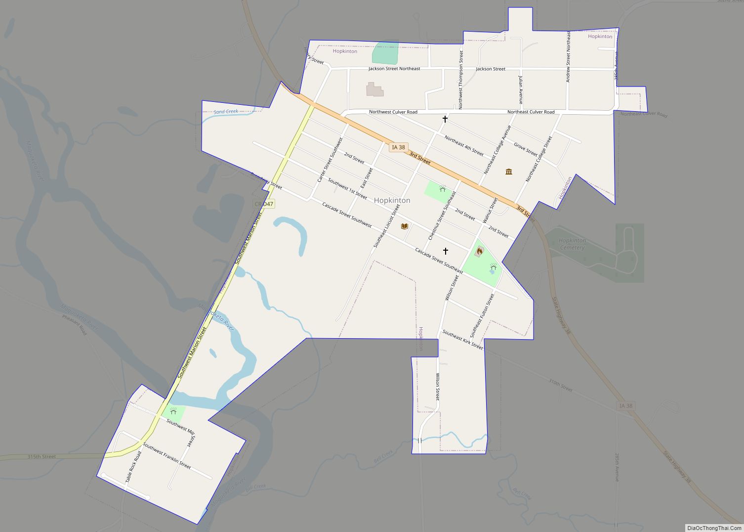
Hopkinton is a city in Delaware County, Iowa, United States. The population was 622 at the time of the 2020 census. Hopkinton city overview: Name: Hopkinton city LSAD Code: 25 LSAD Description: city (suffix) State: Iowa County: Delaware County Incorporated: March 3, 1874 Elevation: 860 ft (260 m) Total Area: 0.64 sq mi (1.66 km²) Land Area: 0.64 sq mi (1.66 km²) Water ... Read more
