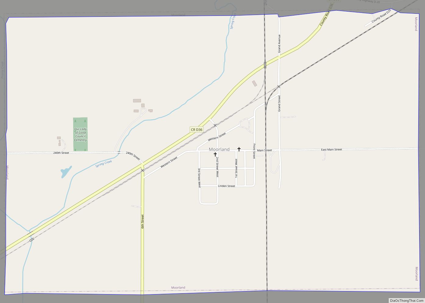
Moorland is a small town in Webster County, Iowa, United States. The population was 168 at the time of the 2020 census. Moorland city overview: Name: Moorland city LSAD Code: 25 LSAD Description: city (suffix) State: Iowa County: Webster County Elevation: 1,152 ft (351 m) Total Area: 1.49 sq mi (3.86 km²) Land Area: 1.49 sq mi (3.86 km²) Water Area: 0.00 sq mi (0.00 km²) ... Read more
Iowa Cities and Places
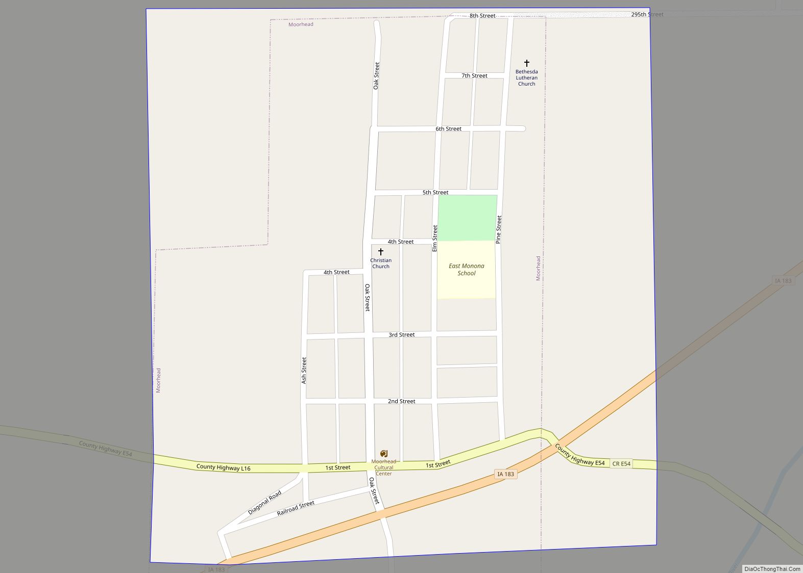
Moorhead is a city in Monona County, Iowa, United States. Moorhead stands along the Soldier River. The population was 199 at the time of the 2020 census. Moorhead city overview: Name: Moorhead city LSAD Code: 25 LSAD Description: city (suffix) State: Iowa County: Monona County Elevation: 1,125 ft (343 m) Total Area: 0.23 sq mi (0.61 km²) Land Area: 0.23 sq mi ... Read more
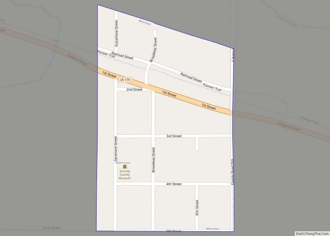
Morrison is a city in Grundy County, Iowa, United States. The population was 98 at the time of the 2020 census. It is part of the Waterloo–Cedar Falls Metropolitan Statistical Area. In the 2019 city election, the city of Morrison reelected The Honorable David Hach as Mayor to his third term. He has brought significant ... Read more
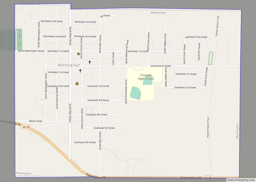
Morning Sun is a city in Morning Sun Township, Louisa County, Iowa, United States. The population was 752 at the time of the 2020 census. It is part of the Muscatine Micropolitan Statistical Area. Morning Sun city overview: Name: Morning Sun city LSAD Code: 25 LSAD Description: city (suffix) State: Iowa County: Louisa County Elevation: ... Read more
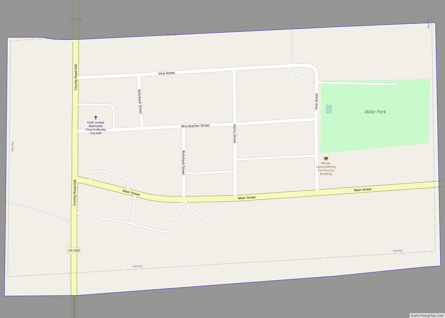
Morley is a city in Jones County, Iowa, United States. The population was 96 at the time of the 2020 census. It is part of the Cedar Rapids Metropolitan Statistical Area. Morley city overview: Name: Morley city LSAD Code: 25 LSAD Description: city (suffix) State: Iowa County: Jones County Elevation: 797 ft (243 m) Total Area: 0.09 sq mi ... Read more
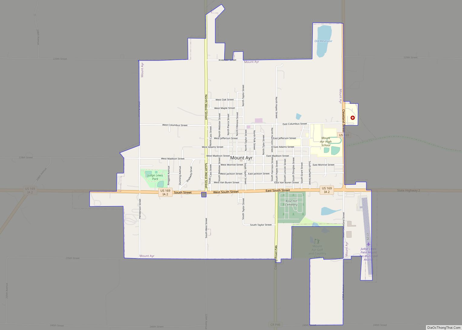
Mount Ayr is a city in Ringgold County, Iowa, United States. The population was 1,988 at the time of the 2020 census. It is the county seat of Ringgold County. Mount Ayr is a rural community in southwestern Iowa, 22 miles west of Interstate 35 on State Highway 2. Mount Ayr was founded in 1875 ... Read more
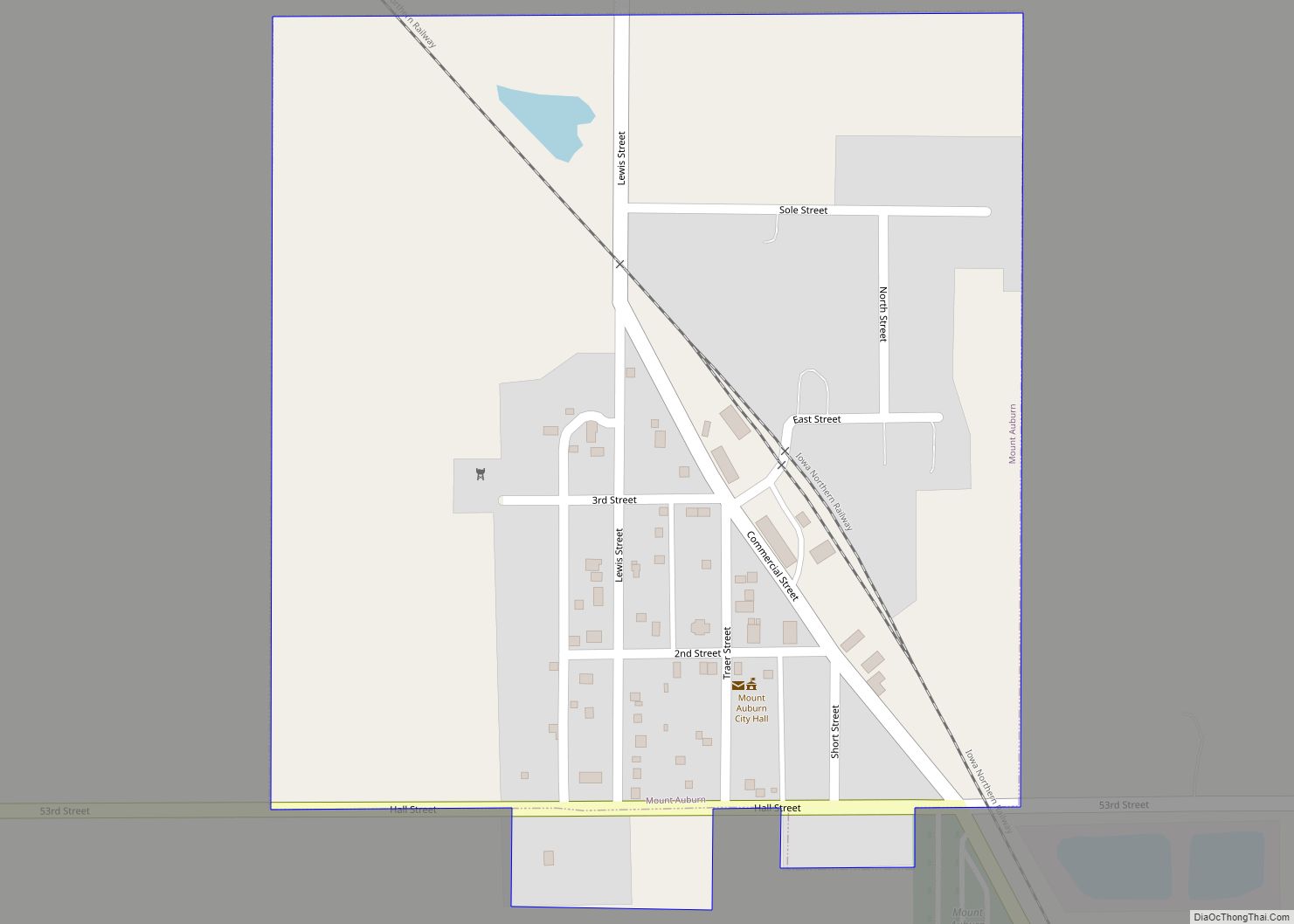
Mount Auburn is a city in Benton County, Iowa, United States. The population was 162 at the time of the 2020 census. It is part of the Cedar Rapids Metropolitan Statistical Area. Mount Auburn city overview: Name: Mount Auburn city LSAD Code: 25 LSAD Description: city (suffix) State: Iowa County: Benton County Elevation: 879 ft (268 m) ... Read more
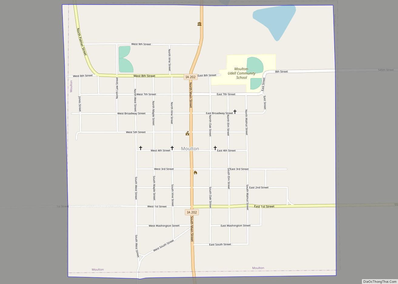
Moulton is a city in Appanoose County, Iowa, United States. The population was 607 at the time of the 2020 census. Moulton city overview: Name: Moulton city LSAD Code: 25 LSAD Description: city (suffix) State: Iowa County: Appanoose County Elevation: 991 ft (302 m) Total Area: 1.00 sq mi (2.58 km²) Land Area: 1.00 sq mi (2.58 km²) Water Area: 0.00 sq mi (0.00 km²) Total ... Read more
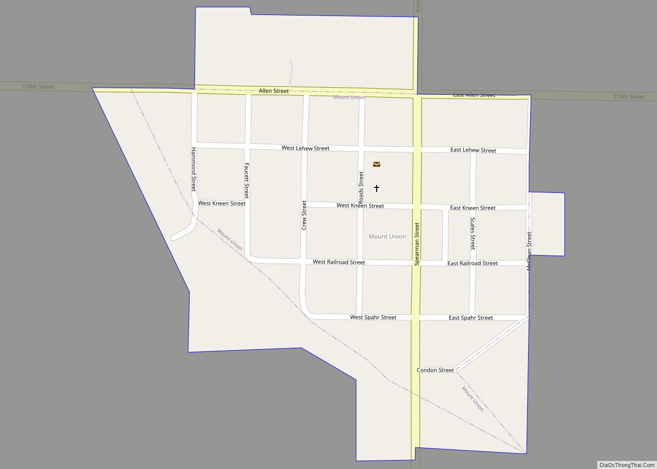
Mount Union is an unincorporated community and census-designated place (CDP) in Henry County, Iowa, United States. It was formerly a city, but in a November 2016 referendum residents voted 32 to 31 to unincorporate. The 2010 census reported the city population to be 107. Mount Union CDP overview: Name: Mount Union CDP LSAD Code: 57 ... Read more
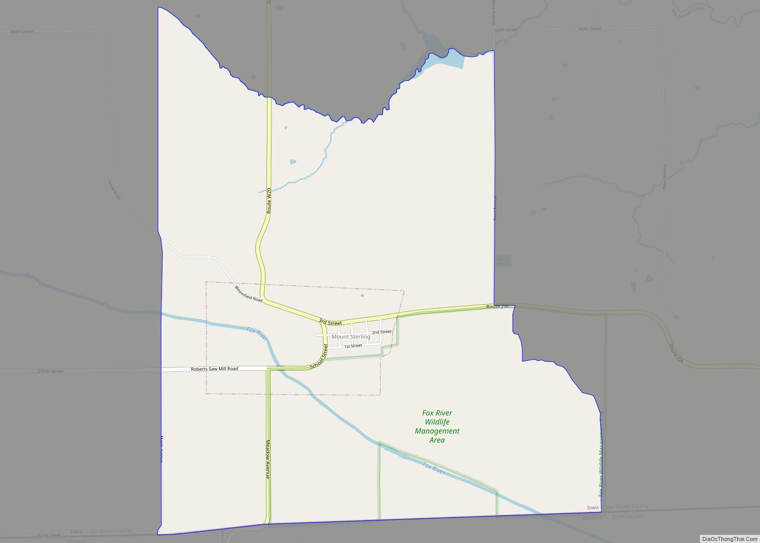
Mount Sterling is a census-designated place in Van Buren County, Iowa, United States. The population was 36 at the 2010 census. Mount Sterling CDP overview: Name: Mount Sterling CDP LSAD Code: 57 LSAD Description: CDP (suffix) State: Iowa County: Van Buren County Elevation: 676 ft (206 m) Total Area: 0.32 sq mi (0.82 km²) Land Area: 0.32 sq mi (0.82 km²) Water Area: ... Read more
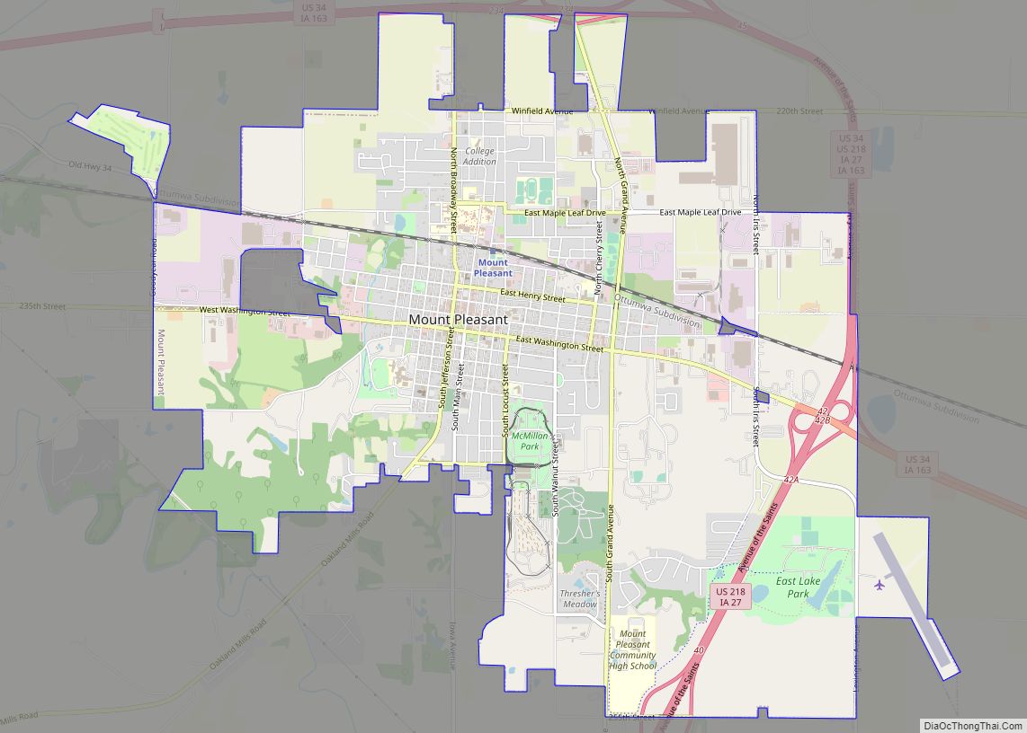
Mount Pleasant is a city in and the county seat of Henry County, Iowa. The population was 9,274 in the 2020 census, an increase from 8,668 in the 2010 census. It was founded in 1835 by pioneer Presley Saunders. Mount Pleasant city overview: Name: Mount Pleasant city LSAD Code: 25 LSAD Description: city (suffix) State: ... Read more
Mount Vernon is a city in Linn County, Iowa, United States, adjacent to the city of Lisbon. The population was 4,527 at the time of the 2020 census. Mount Vernon is part of the Cedar Rapids Metropolitan Statistical Area. Mount Vernon city overview: Name: Mount Vernon city LSAD Code: 25 LSAD Description: city (suffix) State: ... Read more
