Mount Pleasant is a city in and the county seat of Henry County, Iowa. The population was 9,274 in the 2020 census, an increase from 8,668 in the 2010 census. It was founded in 1835 by pioneer Presley Saunders.
| Name: | Mount Pleasant city |
|---|---|
| LSAD Code: | 25 |
| LSAD Description: | city (suffix) |
| State: | Iowa |
| County: | Henry County |
| Incorporated: | July 15, 1856 |
| Elevation: | 719 ft (219 m) |
| Total Area: | 8.64 sq mi (22.39 km²) |
| Land Area: | 8.63 sq mi (22.35 km²) |
| Water Area: | 0.01 sq mi (0.04 km²) |
| Total Population: | 9,274 |
| Population Density: | 1,074.87/sq mi (415.00/km²) |
| ZIP code: | 52641 |
| Area code: | 319 |
| FIPS code: | 1954705 |
| GNISfeature ID: | 0459328 |
| Website: | cityofmountpleasantiowa.org |
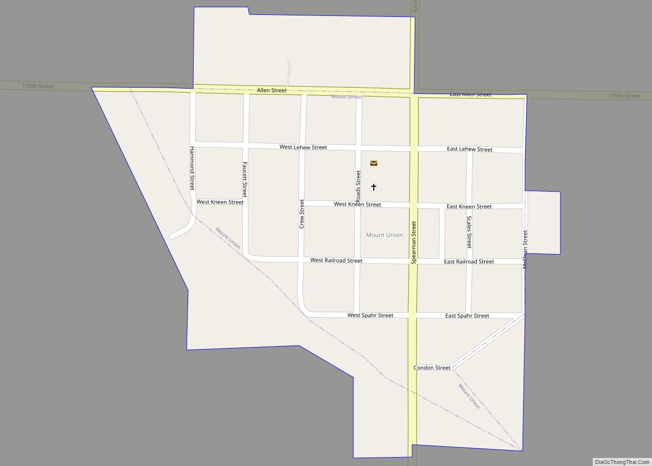
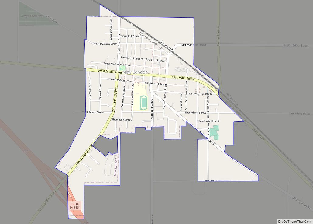
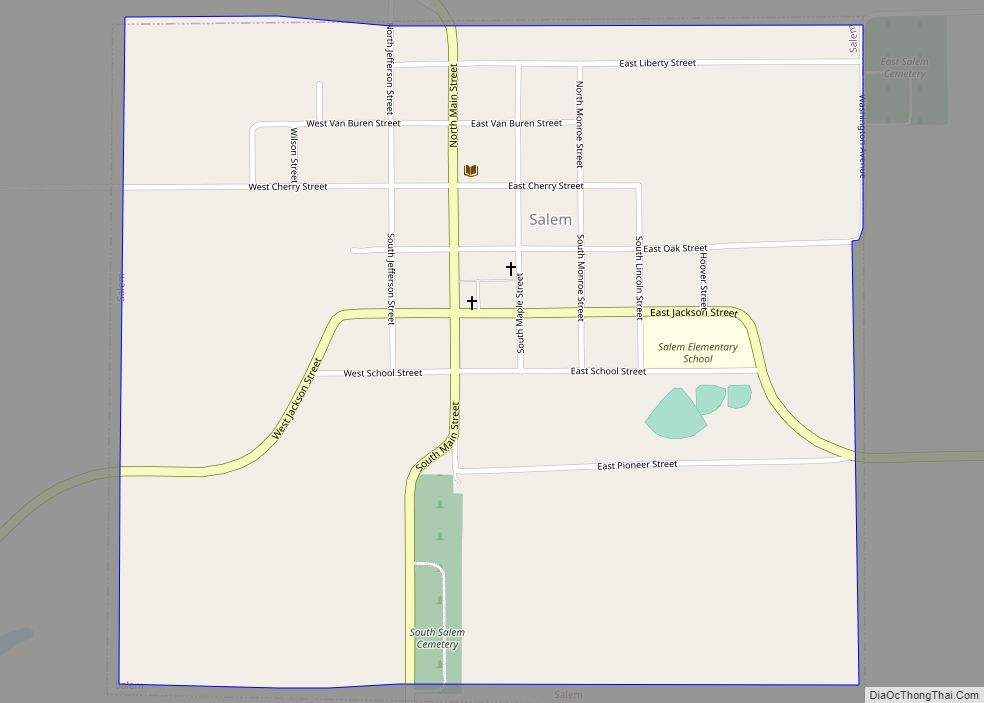
Online Interactive Map
Click on ![]() to view map in "full screen" mode.
to view map in "full screen" mode.
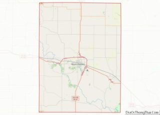
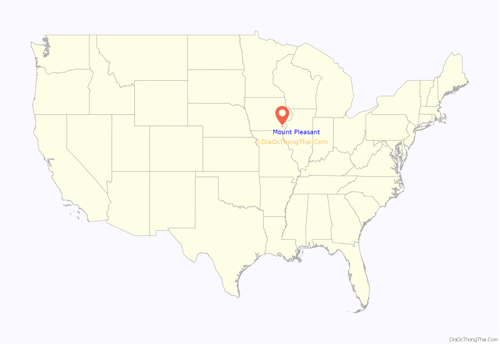
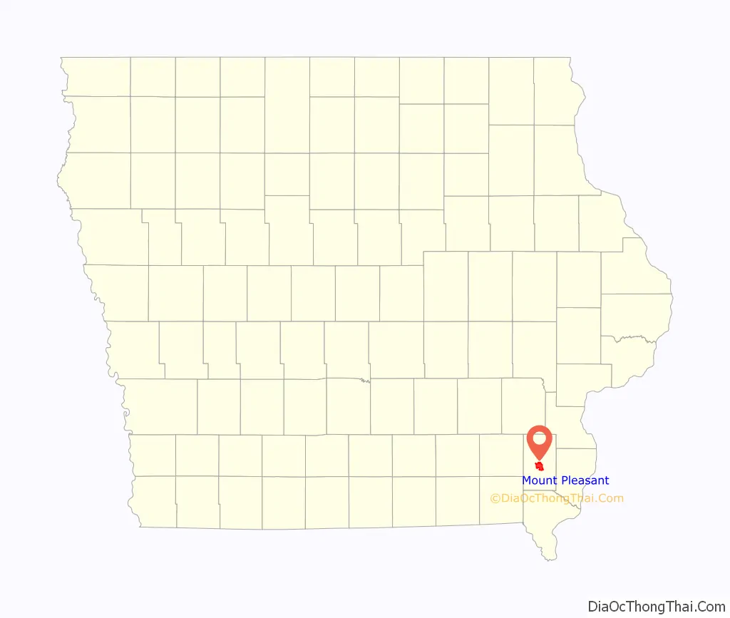
Mount Pleasant location map. Where is Mount Pleasant city?
History
The first permanent settlement at Mount Pleasant was made in 1833. Mount Pleasant was incorporated as a town in 1842, and again in 1851.
In 1869, Mount Pleasant was the site of a solar eclipse expedition, under the command of James Craig Watson and sponsored by National Almanac. The total solar eclipse occurred on August 7, 1869.
In the Union Block building in 1869, Arabella A. Mansfield became the first woman in the United States to be awarded a license to practice law. She had passed the bar exam with high scores and won a court case for entry to the bar. The legislature changed its statute.
The third floor of the Union Block housed the Opera House or Union Hall, a gathering place for the community. It attracted national speakers on tour, including abolitionists Frederick Douglass, Sojourner Truth, and Anna Dickinson. James Harlan also spoke there, as he was president of Iowa Wesleyan College in the town, and later was elected several times to the United States Senate. This building had been considered one of the most endangered historic sites in Iowa.
The Mount Pleasant Mental Health Institute was built in 1861. However, in 1936, a fire did great damage to the building. The hospital had to be closed, as little of the facility survived the fire.
On December 10, 1986, Ralph Orin Davis, a resident, walked into a city council meeting and shot Mayor Edward King and two council members. Mayor King died of his wounds after being shot point blank in the head. The 69-year-old gunman had attended a couple of previous meetings, complaining about a backed-up sewer and wanting the city to pay for damages to his house. The two council members were seriously wounded. Tom Vilsack became the replacement mayor, later serving as Governor of Iowa for 8 years, and then Secretary of Agriculture under the Obama and Biden administrations.
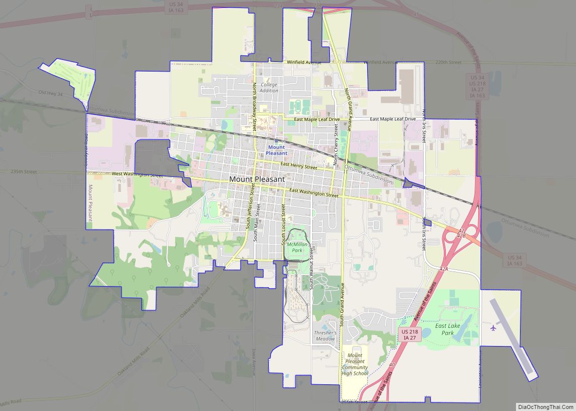
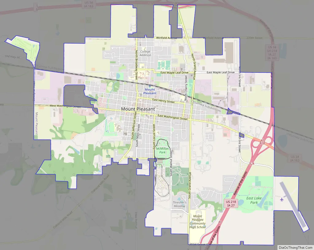
Mount Pleasant Road Map
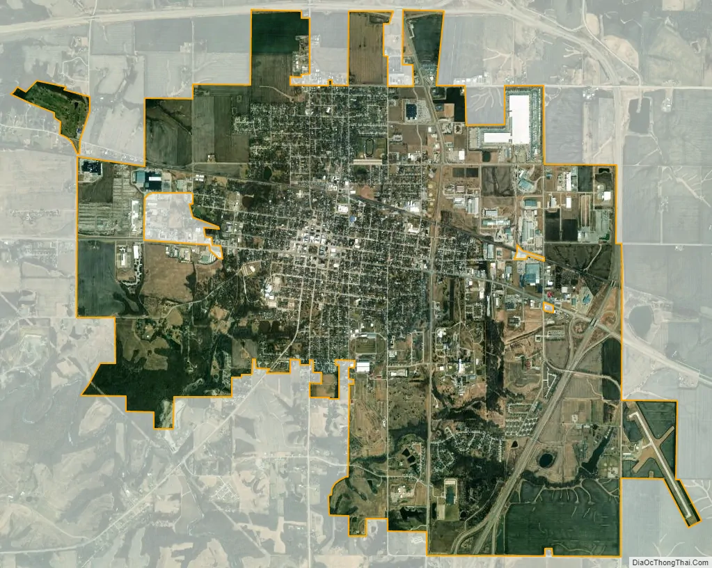
Mount Pleasant city Satellite Map
Geography
Mount Pleasant is in central Henry County at the intersection of US Routes 218 and 34.
According to the United States Census Bureau, the city has a total area of 8.53 square miles (22.09 km), of which, 8.51 square miles (22.04 km) is land and 0.02 square miles (0.05 km) is water.
Mount Pleasant’s population density is estimated at 1,123 people per square mile, which is considered low for urban areas.
See also
Map of Iowa State and its subdivision:- Adair
- Adams
- Allamakee
- Appanoose
- Audubon
- Benton
- Black Hawk
- Boone
- Bremer
- Buchanan
- Buena Vista
- Butler
- Calhoun
- Carroll
- Cass
- Cedar
- Cerro Gordo
- Cherokee
- Chickasaw
- Clarke
- Clay
- Clayton
- Clinton
- Crawford
- Dallas
- Davis
- Decatur
- Delaware
- Des Moines
- Dickinson
- Dubuque
- Emmet
- Fayette
- Floyd
- Franklin
- Fremont
- Greene
- Grundy
- Guthrie
- Hamilton
- Hancock
- Hardin
- Harrison
- Henry
- Howard
- Humboldt
- Ida
- Iowa
- Jackson
- Jasper
- Jefferson
- Johnson
- Jones
- Keokuk
- Kossuth
- Lee
- Linn
- Louisa
- Lucas
- Lyon
- Madison
- Mahaska
- Marion
- Marshall
- Mills
- Mitchell
- Monona
- Monroe
- Montgomery
- Muscatine
- O'Brien
- Osceola
- Page
- Palo Alto
- Plymouth
- Pocahontas
- Polk
- Pottawattamie
- Poweshiek
- Ringgold
- Sac
- Scott
- Shelby
- Sioux
- Story
- Tama
- Taylor
- Union
- Van Buren
- Wapello
- Warren
- Washington
- Wayne
- Webster
- Winnebago
- Winneshiek
- Woodbury
- Worth
- Wright
- Alabama
- Alaska
- Arizona
- Arkansas
- California
- Colorado
- Connecticut
- Delaware
- District of Columbia
- Florida
- Georgia
- Hawaii
- Idaho
- Illinois
- Indiana
- Iowa
- Kansas
- Kentucky
- Louisiana
- Maine
- Maryland
- Massachusetts
- Michigan
- Minnesota
- Mississippi
- Missouri
- Montana
- Nebraska
- Nevada
- New Hampshire
- New Jersey
- New Mexico
- New York
- North Carolina
- North Dakota
- Ohio
- Oklahoma
- Oregon
- Pennsylvania
- Rhode Island
- South Carolina
- South Dakota
- Tennessee
- Texas
- Utah
- Vermont
- Virginia
- Washington
- West Virginia
- Wisconsin
- Wyoming