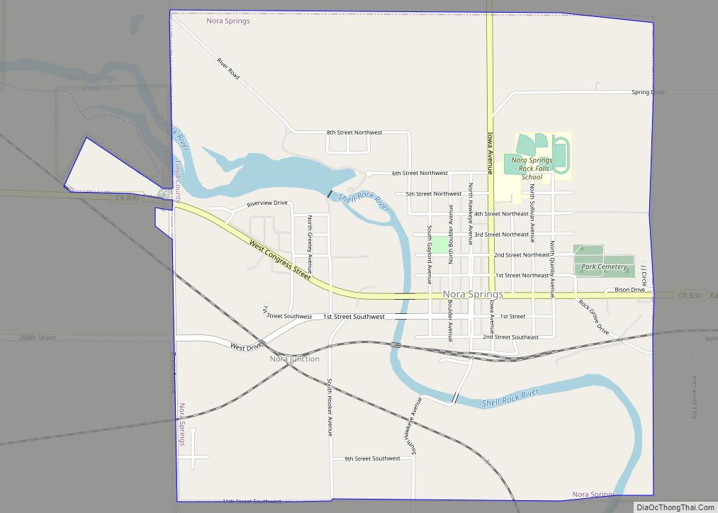
Nora Springs is a city that is partially in Cerro Gordo and Floyd counties in the U.S. state of Iowa, along the Shell Rock River. The population was 1,369 at the time of the 2020 census. The Cerro Gordo County portion of Nora Springs is part of the Mason City Micropolitan Statistical Area. Nora Springs ... Read more
Iowa Cities and Places
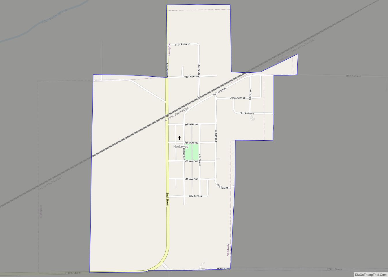
Nodaway is a city in Nodaway Township, Adams County, Iowa, United States. The population was 74 at the time of the 2020 census. Nodaway was incorporated in 1900. Nodaway city overview: Name: Nodaway city LSAD Code: 25 LSAD Description: city (suffix) State: Iowa County: Adams County Elevation: 1,083 ft (330 m) Total Area: 0.67 sq mi (1.73 km²) Land Area: ... Read more
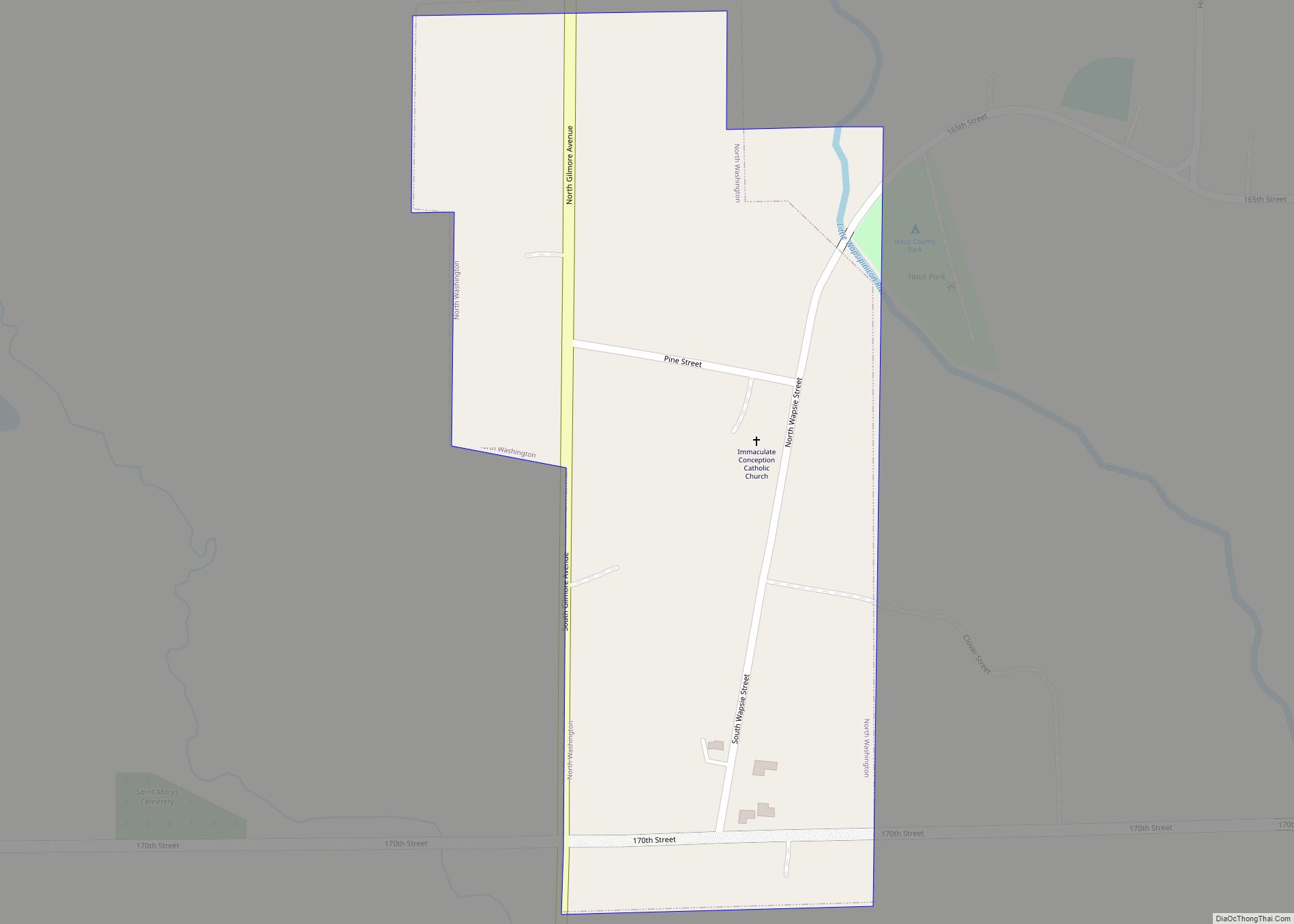
North Washington is a city in Chickasaw County, Iowa, United States. The population was 112 at the time of the 2020 census. North Washington city overview: Name: North Washington city LSAD Code: 25 LSAD Description: city (suffix) State: Iowa County: Chickasaw County Elevation: 1,142 ft (348 m) Total Area: 0.20 sq mi (0.53 km²) Land Area: 0.20 sq mi (0.53 km²) Water Area: ... Read more
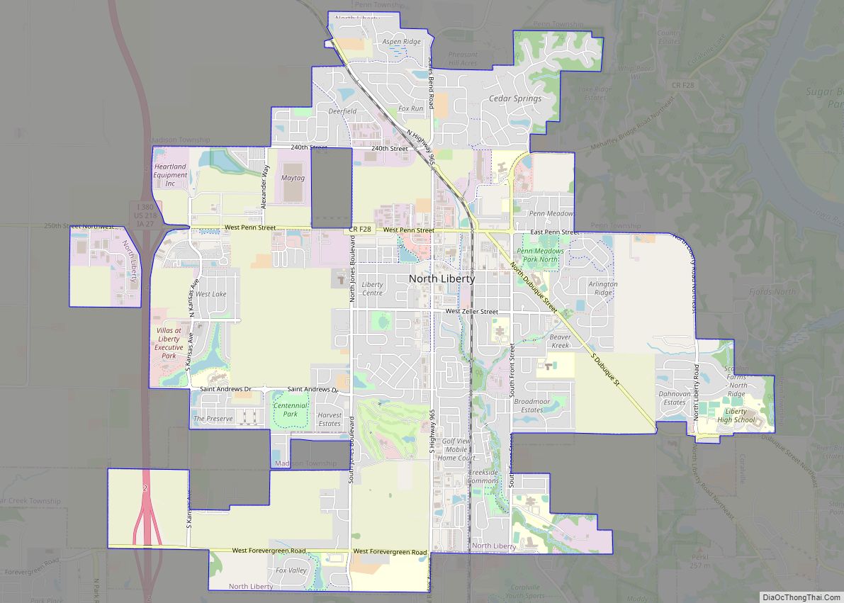
North Liberty is a city in Johnson County, Iowa, United States. It is a suburb of Iowa City and part of the Iowa City Metropolitan Statistical Area. As of the 2020 census, the city population was 20,479. From 2000 to 2010, North Liberty was the second fastest-growing city in Iowa. A 2017 LendEDU poll named ... Read more
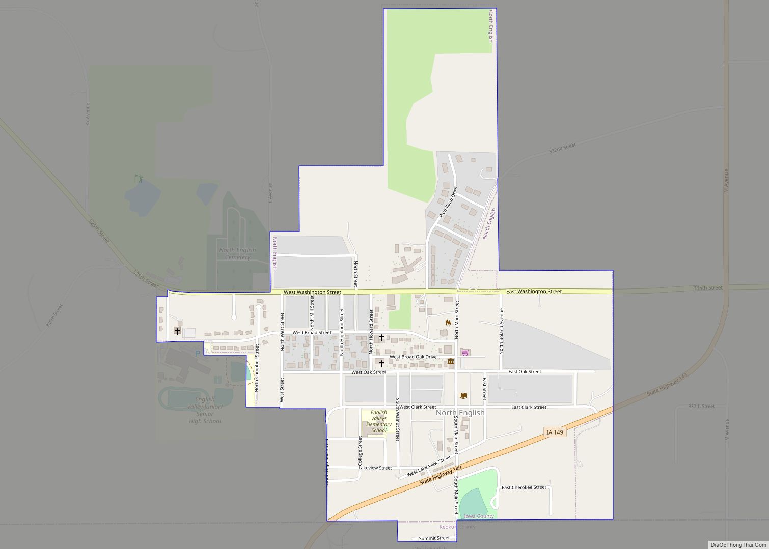
North English is a city located mainly in Iowa county with a small portion in Keokuk county in the U.S. state of Iowa. The population was 1,065 at the time of the 2020 census. It is named for the English River. North English city overview: Name: North English city LSAD Code: 25 LSAD Description: city ... Read more
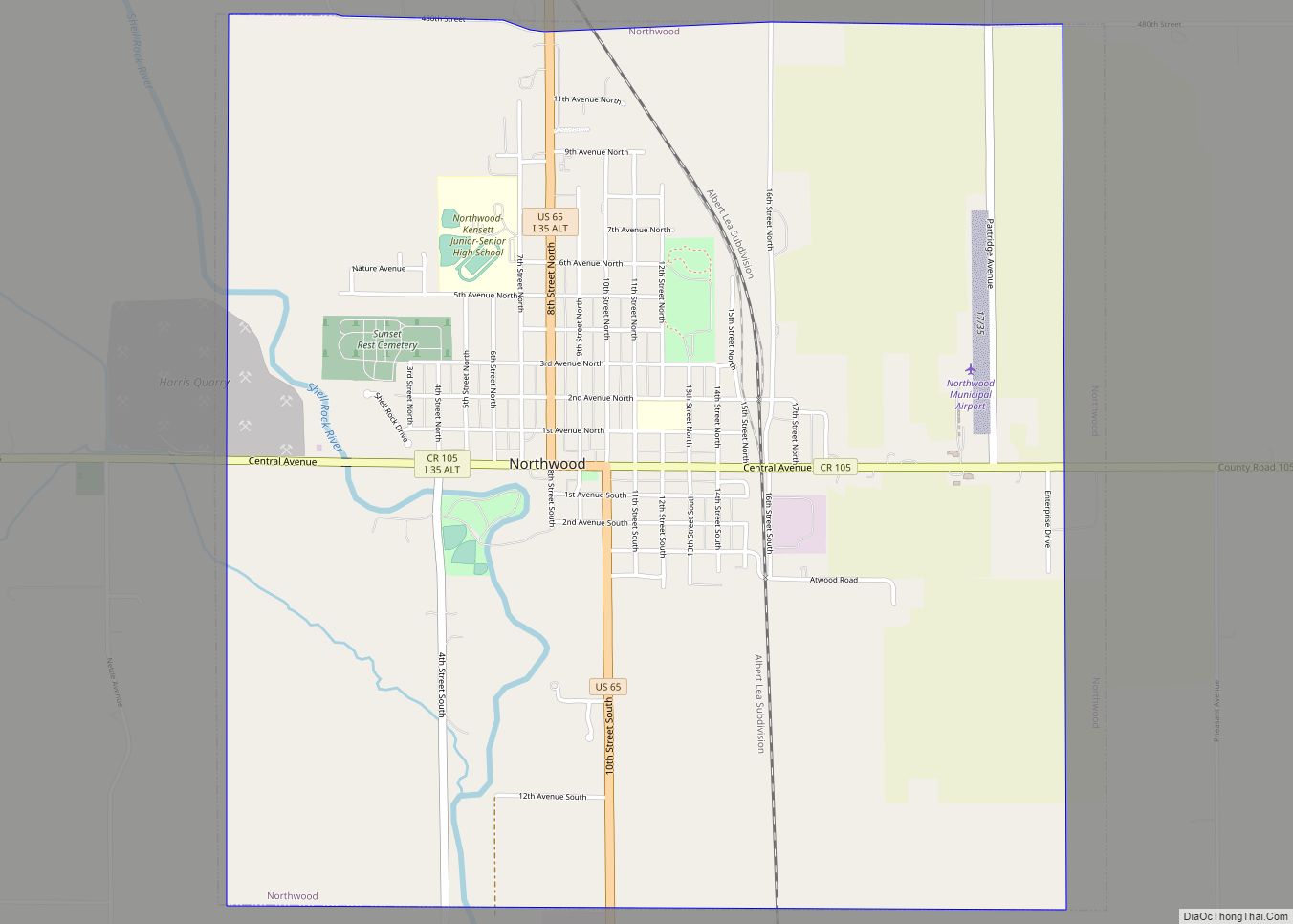
Northwood is a city in Worth County, Iowa, United States, along the Shell Rock River. The population was 2,072 at the time of the 2020 census. It is the county seat of Worth County. Northwood is part of the Mason City Micropolitan Statistical Area. Northwood city overview: Name: Northwood city LSAD Code: 25 LSAD Description: ... Read more
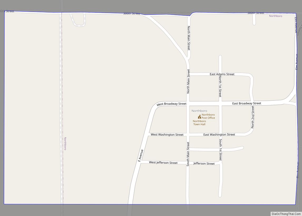
Northboro is a city in Page County, Iowa, United States. The population was 52 at the time of the 2020 census. Northboro city overview: Name: Northboro city LSAD Code: 25 LSAD Description: city (suffix) State: Iowa County: Page County Elevation: 1,089 ft (332 m) Total Area: 0.25 sq mi (0.66 km²) Land Area: 0.25 sq mi (0.66 km²) Water Area: 0.00 sq mi (0.00 km²) Total ... Read more
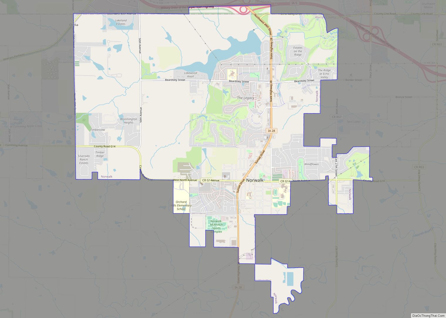
Norwalk is a city in Warren County, with some small portions extending into Polk County, in the U.S. state of Iowa. The population was 12,799 at the time of the 2020 census. The city is part of the Des Moines metropolitan area and is located just south of the Des Moines International Airport. Norwalk city ... Read more
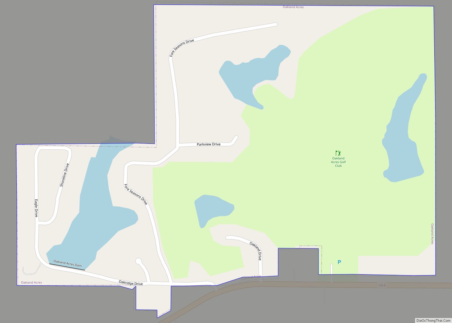
Oakland Acres is a city in Jasper County, Iowa, United States. The population was 176 at the time of the 2020 census. Oakland Acres city overview: Name: Oakland Acres city LSAD Code: 25 LSAD Description: city (suffix) State: Iowa County: Jasper County Elevation: 984 ft (300 m) Total Area: 0.31 sq mi (0.79 km²) Land Area: 0.28 sq mi (0.74 km²) Water Area: ... Read more
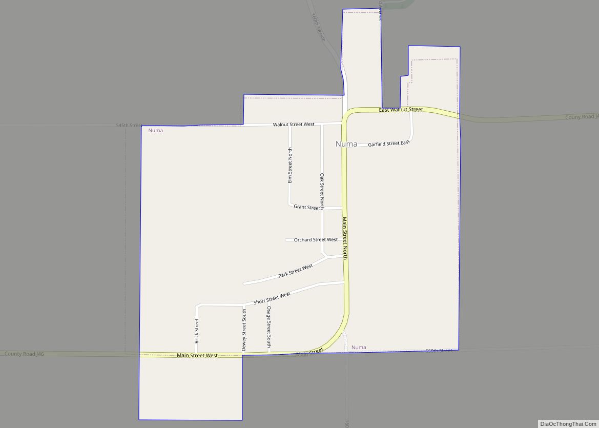
Numa is a city in Appanoose County, Iowa, United States. The population was 68 in the 2020 census, a decline from 109 in 2000. Numa city overview: Name: Numa city LSAD Code: 25 LSAD Description: city (suffix) State: Iowa County: Appanoose County Incorporated: November 9, 1909 Elevation: 1,027 ft (313 m) Total Area: 0.44 sq mi (1.14 km²) Land Area: ... Read more
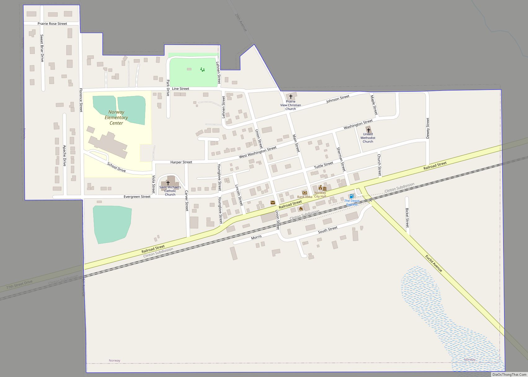
Norway is a city in Benton County, Iowa, United States. The population was 466 at the time of the 2020 census. The city is approximately 17 miles (27 km) southwest of downtown Cedar Rapids. It is part of the Cedar Rapids Metropolitan Statistical Area. Norway is the setting of the movie The Final Season. Norway city ... Read more
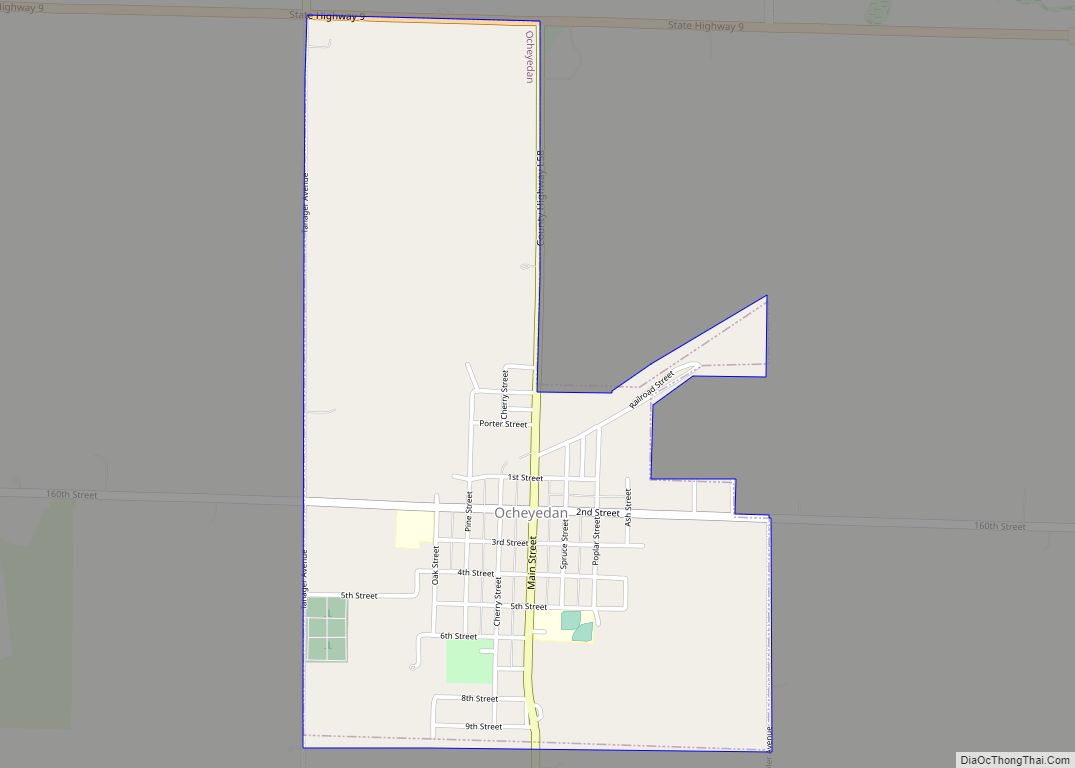
Ocheyedan is a city in Osceola County, Iowa, United States. The population was 439 at the time of the 2020 census. Ocheyedan city overview: Name: Ocheyedan city LSAD Code: 25 LSAD Description: city (suffix) State: Iowa County: Osceola County Elevation: 1,575 ft (480 m) Total Area: 1.13 sq mi (2.93 km²) Land Area: 1.13 sq mi (2.93 km²) Water Area: 0.00 sq mi (0.00 km²) Total ... Read more
