Norwalk is a city in Warren County, with some small portions extending into Polk County, in the U.S. state of Iowa. The population was 12,799 at the time of the 2020 census. The city is part of the Des Moines metropolitan area and is located just south of the Des Moines International Airport.
| Name: | Norwalk city |
|---|---|
| LSAD Code: | 25 |
| LSAD Description: | city (suffix) |
| State: | Iowa |
| County: | Polk County, Warren County |
| Elevation: | 945 ft (288 m) |
| Total Area: | 11.91 sq mi (30.84 km²) |
| Land Area: | 11.55 sq mi (29.93 km²) |
| Water Area: | 0.35 sq mi (0.92 km²) |
| Total Population: | 12,799 |
| Population Density: | 1,107.66/sq mi (427.68/km²) |
| ZIP code: | 50211 |
| Area code: | 515 |
| FIPS code: | 1957675 |
| GNISfeature ID: | 0459658 |
| Website: | www.norwalk.iowa.gov |
Online Interactive Map
Click on ![]() to view map in "full screen" mode.
to view map in "full screen" mode.
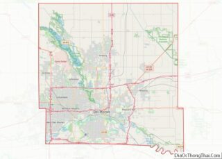
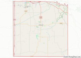
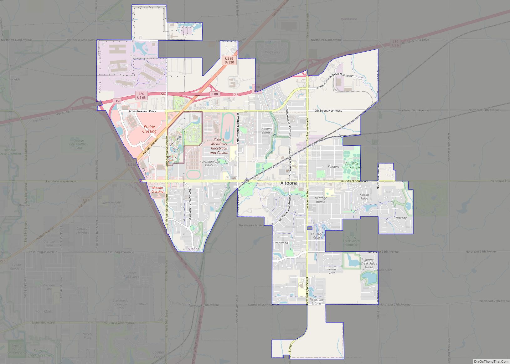
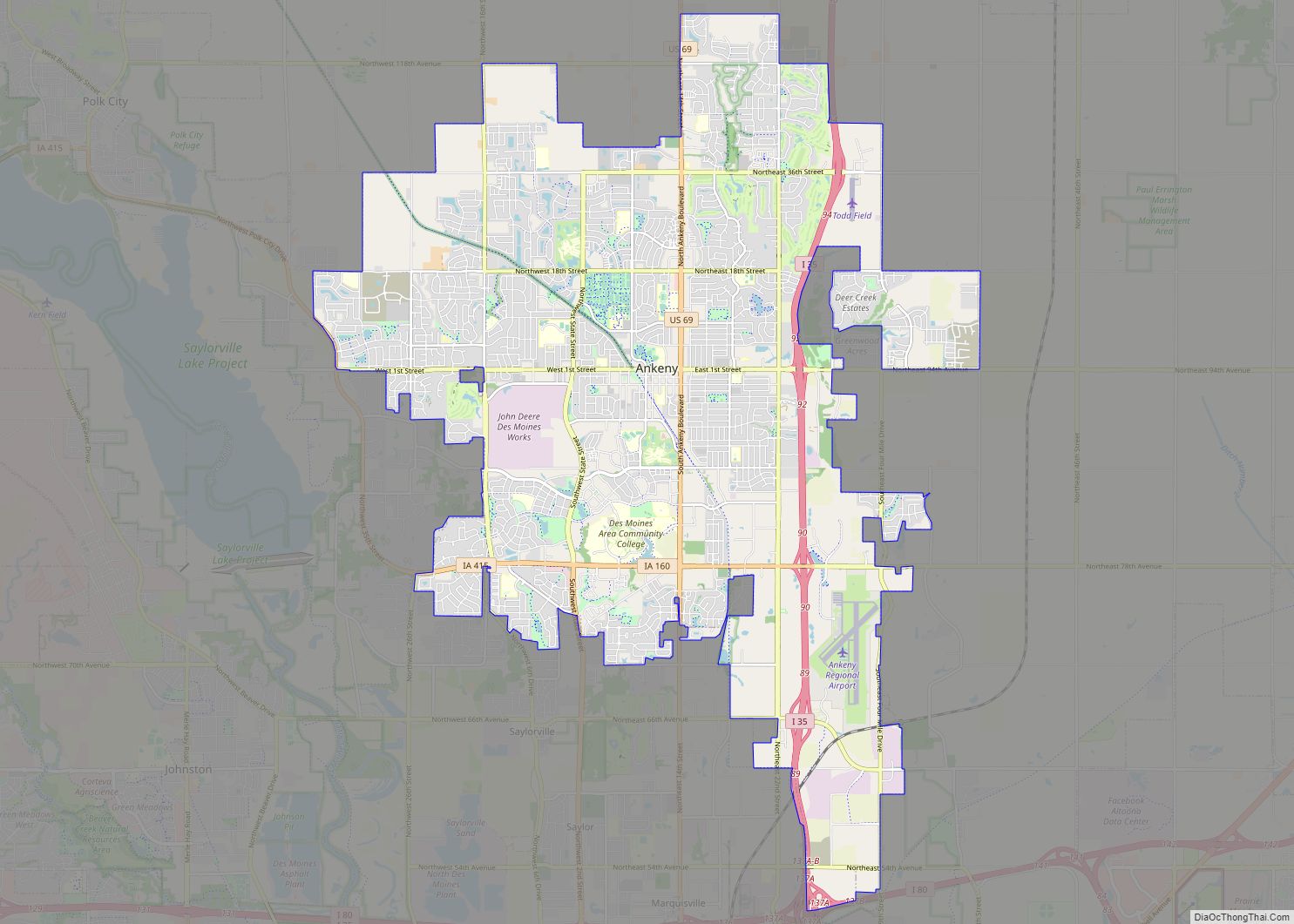
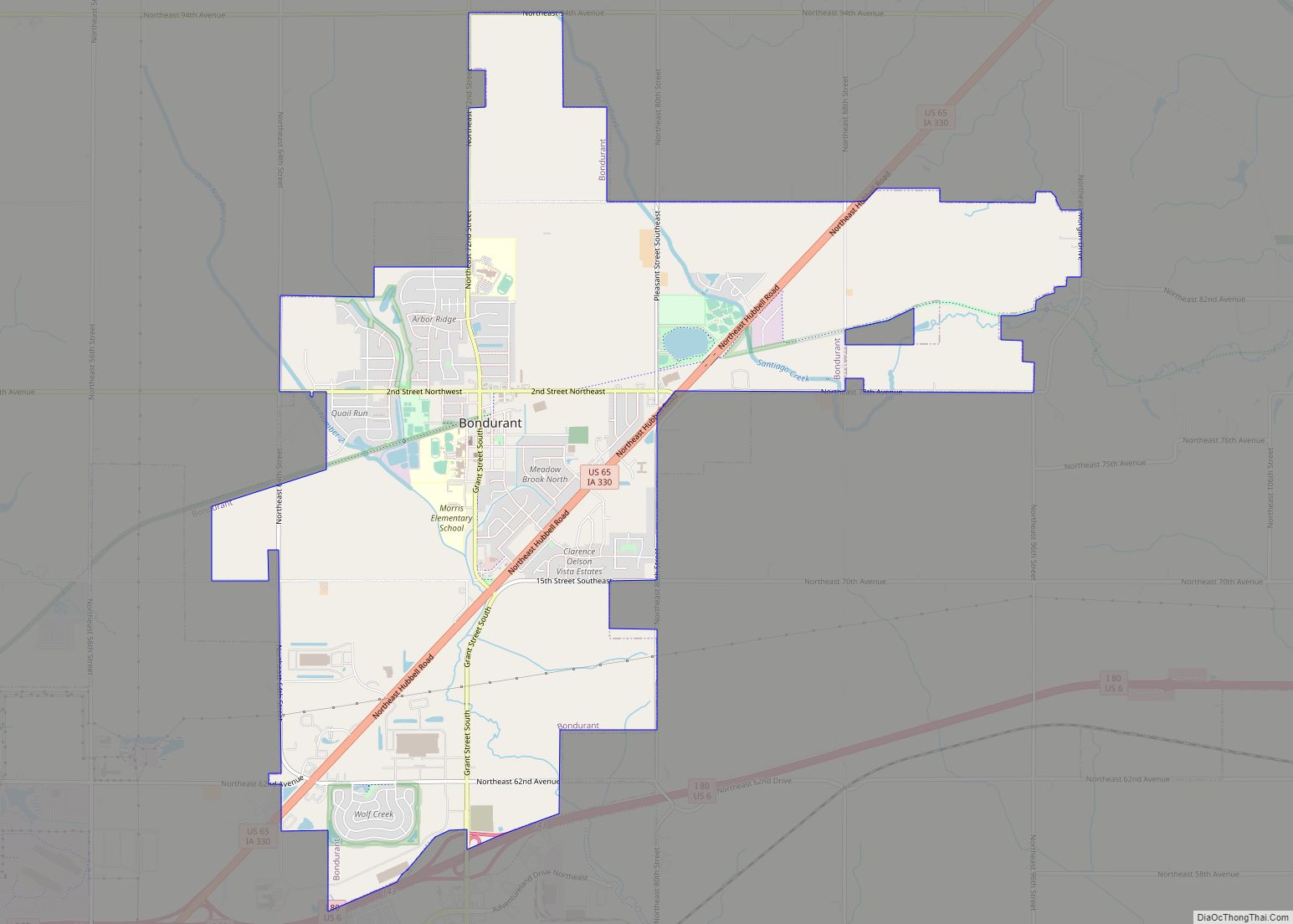
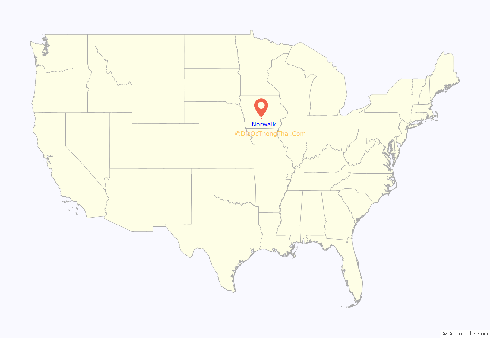
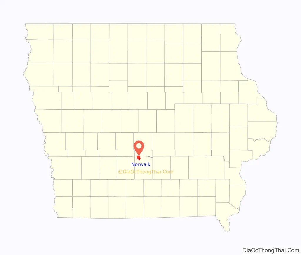
Norwalk location map. Where is Norwalk city?
History
Early history
The first settlers came to Norwalk area about 1846. One of them, Samuel Crow, settled near the North River. The first construction on the site that is now Norwalk began with a log cabin built by Samuel Snyder. The following year more families settled in the little town known as Pyra. A post office was established in the town on June 18, 1856. George W. Swan laid out the town and erected a hotel. Mr. Swan, who was born in Norwalk, Connecticut and was associated with a newspaper in Norwalk, Ohio, changed the town’s name to Norwalk. The first railroad into town was constructed in 1882 a narrow gauge line from Des Moines to Cainsville, Missouri. In the 1890s the railroad was acquired by a subsidiary of the Burlington Railroad and was widened to standard gauge. Its primary use was for shipping the farmers’ livestock to various markets. The line was abandoned in 1947, after a flood had severely damaged the North River bridge.
20th century
Norwalk was incorporated in 1900 with Adam Stiffler serving as its first mayor. At the time, the town was one square mile in size. Phone service was introduced in Norwalk in 1903. Many additions and land acquisition have contributed to Norwalk’s growth. The first was the triangle formed by Highway 28, High Road and Cherry Parkway on November 11, 1969. The second was the development of a residential area in what is now the middle of town containing the Norwalk United Methodist Church and the Regency Nursing Home. Several farm annexations were made in the 70s and 80s that greatly expanded the city’s footprint. Further annexations continue to this day as the city seeks to maximize its economic growth potential. Norwalk is regionally notable as having three golf courses, two of which sit amidst residential developments, Echo Valley and the Legacy.
21st century
On March 5, 2022, an EF4 tornado struck the city (albeit at a slightly weaker strength), damaging multiple homes and facilities.
Neighborhoods and development areas
Lakewood
On April 1, 1989, the neighborhoods of Lakewood and Echo Valley Estates were annexed into Norwalk. The original Lakewood development was started in 1965 around the man-made Lake Colchester. The south shore of the lake is home to nearly 600 residences and the north side is being heavily marketed for its future development potential.
Echo Valley
The Echo Valley development began in the early 1970s, consisting primarily of residential properties intermixed with the Echo Valley Country Club golf course. Generally considered one of the more upscale areas of town, Echo Valley has emerged as the 2017 host of the Home Builders Association of Greater Des Moines’ Home Show Expo, drawing thousands of visitors to Echo Valley.
The Legacy
The Legacy golf course community incorporating what used to be called the Colonial Meadows development, contains 18 PGA caliber golf holes, over 900 residences suitable to a wide range of housing budgets, and an increasing variety of commercial opportunities for what has become the geographic center of the city. The development incorporates commercial development along Iowa Highway 28 and a regionally unique circular central road which will be completed in 2018.
Rolling Green and Warrior Run
The southeast portion of the city contains the Warrior Run golf course as well as several residential developments that will add hundreds of housing units to the city. Rolling Green will consist of some 250 plus homes, and the Warrior Run Estates development area will add at least a further 100.
McAninch Sports Complex and Norwalk Business Center
A combined development proposal established the McAninch Sports Complex, host to softball, baseball, and soccer events, as well as the Norwalk Business Center, home to multiple industrial users such as meat processing, stone cutting, building materials wholesale, and electronics manufacturing. Windsor Windows is constructing a 160,000+ square foot manufacturing center in the southernmost portion of the business park. Recently, Michael Foods announced the construction of a distribution center which will add $85 million of investment in the city and will be the largest single-site taxpayer in Warren County.
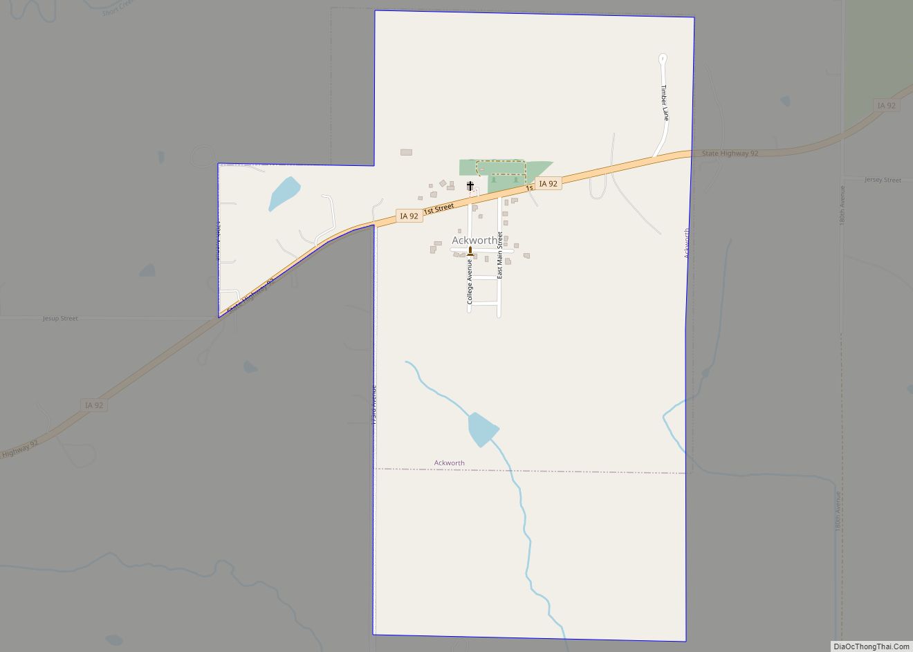
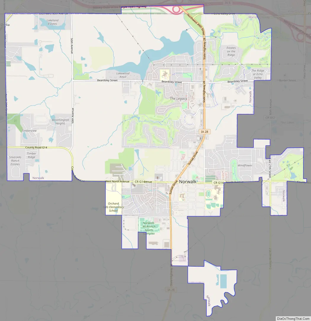
Norwalk Road Map
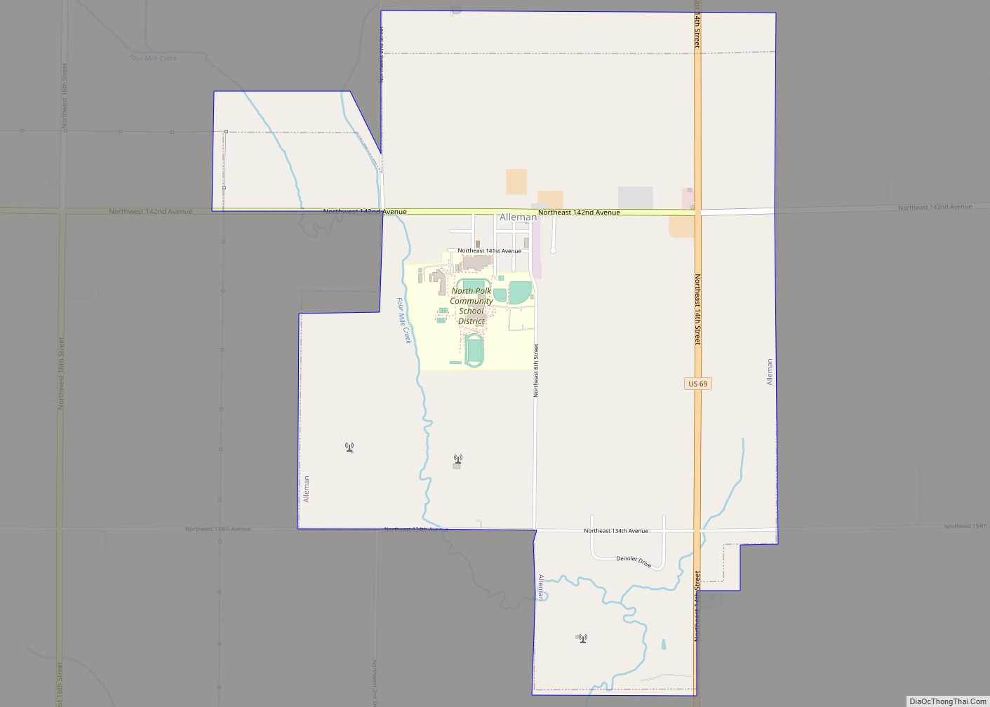
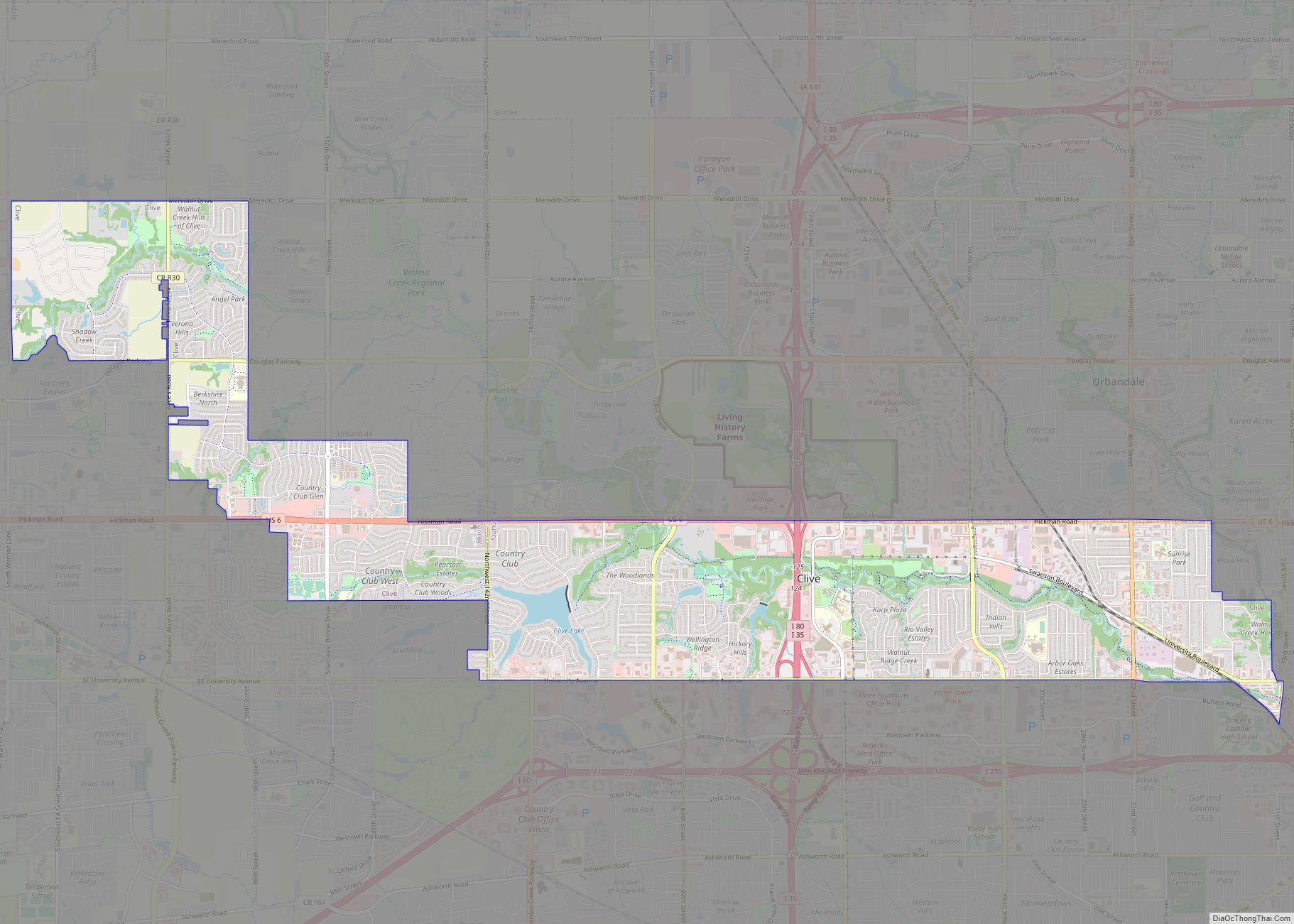
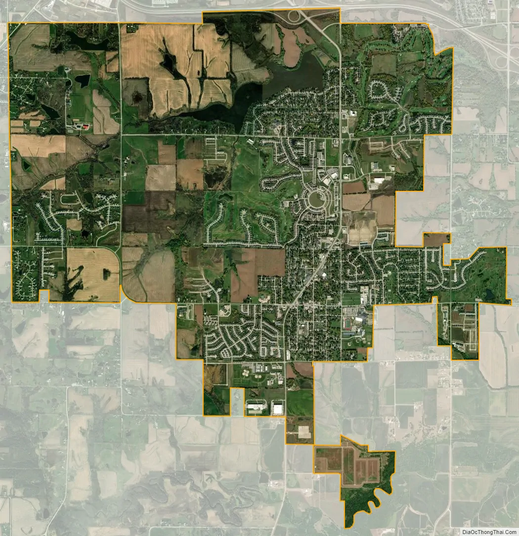
Norwalk city Satellite Map
Geography
According to the United States Census Bureau, the city has a total area of 11.09 square miles (28.72 km), of which 10.74 square miles (27.82 km) is land and 0.35 square miles (0.91 km) is water.
Norwalk holds the unofficial record for the largest amount of rainfall in a 24-hour period for any town in Iowa, with more than 9 inches falling June 9–10, 2011.
See also
Map of Iowa State and its subdivision:- Adair
- Adams
- Allamakee
- Appanoose
- Audubon
- Benton
- Black Hawk
- Boone
- Bremer
- Buchanan
- Buena Vista
- Butler
- Calhoun
- Carroll
- Cass
- Cedar
- Cerro Gordo
- Cherokee
- Chickasaw
- Clarke
- Clay
- Clayton
- Clinton
- Crawford
- Dallas
- Davis
- Decatur
- Delaware
- Des Moines
- Dickinson
- Dubuque
- Emmet
- Fayette
- Floyd
- Franklin
- Fremont
- Greene
- Grundy
- Guthrie
- Hamilton
- Hancock
- Hardin
- Harrison
- Henry
- Howard
- Humboldt
- Ida
- Iowa
- Jackson
- Jasper
- Jefferson
- Johnson
- Jones
- Keokuk
- Kossuth
- Lee
- Linn
- Louisa
- Lucas
- Lyon
- Madison
- Mahaska
- Marion
- Marshall
- Mills
- Mitchell
- Monona
- Monroe
- Montgomery
- Muscatine
- O'Brien
- Osceola
- Page
- Palo Alto
- Plymouth
- Pocahontas
- Polk
- Pottawattamie
- Poweshiek
- Ringgold
- Sac
- Scott
- Shelby
- Sioux
- Story
- Tama
- Taylor
- Union
- Van Buren
- Wapello
- Warren
- Washington
- Wayne
- Webster
- Winnebago
- Winneshiek
- Woodbury
- Worth
- Wright
- Alabama
- Alaska
- Arizona
- Arkansas
- California
- Colorado
- Connecticut
- Delaware
- District of Columbia
- Florida
- Georgia
- Hawaii
- Idaho
- Illinois
- Indiana
- Iowa
- Kansas
- Kentucky
- Louisiana
- Maine
- Maryland
- Massachusetts
- Michigan
- Minnesota
- Mississippi
- Missouri
- Montana
- Nebraska
- Nevada
- New Hampshire
- New Jersey
- New Mexico
- New York
- North Carolina
- North Dakota
- Ohio
- Oklahoma
- Oregon
- Pennsylvania
- Rhode Island
- South Carolina
- South Dakota
- Tennessee
- Texas
- Utah
- Vermont
- Virginia
- Washington
- West Virginia
- Wisconsin
- Wyoming