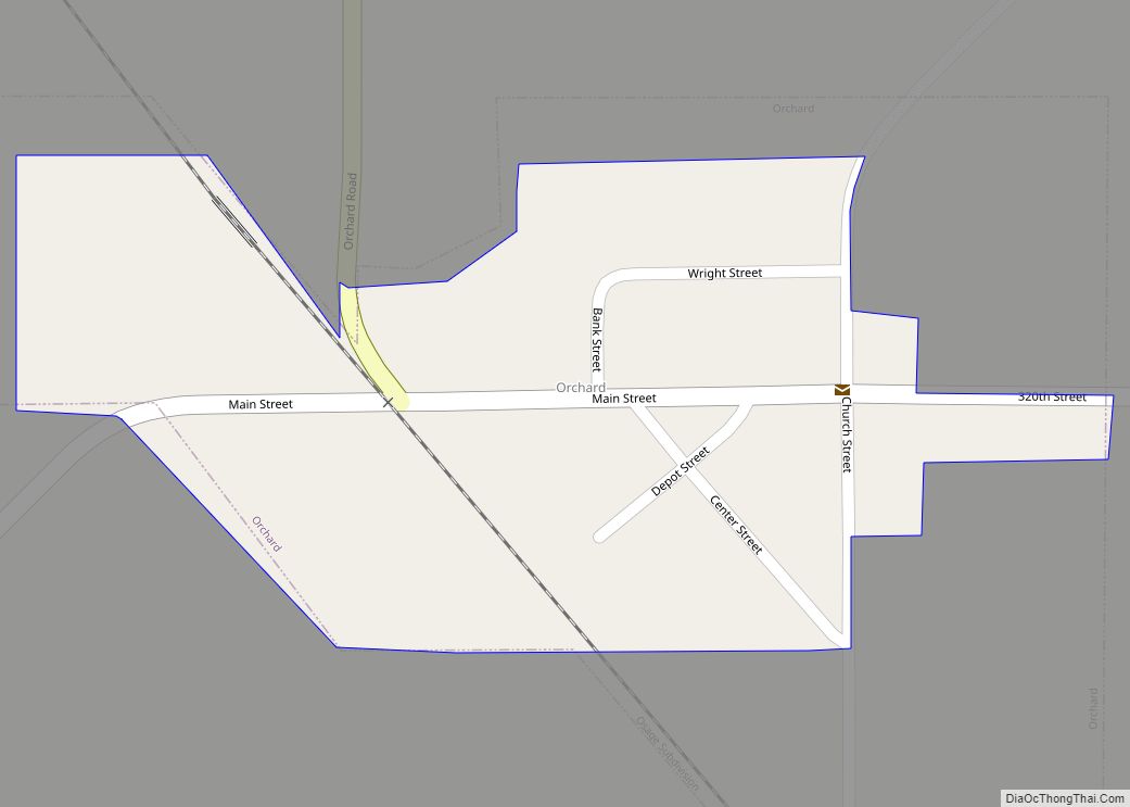
Orchard is a city in Mitchell County, Iowa, United States. The population was 68 at the time of the 2020 census. Orchard city overview: Name: Orchard city LSAD Code: 25 LSAD Description: city (suffix) State: Iowa County: Mitchell County Elevation: 1,102 ft (336 m) Total Area: 0.10 sq mi (0.26 km²) Land Area: 0.10 sq mi (0.26 km²) Water Area: 0.00 sq mi (0.00 km²) Total ... Read more
Iowa Cities and Places
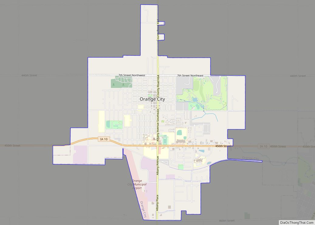
Orange City is a city in, and the county seat of, Sioux County, Iowa, United States. Its population was 6,267 in the 2020 census, an increase from 5,582 in 2000. Named after William of Orange, the community maintains its Dutch settler traditions visibly, with Dutch storefront architecture and an annual Tulip Festival. Orange City city ... Read more
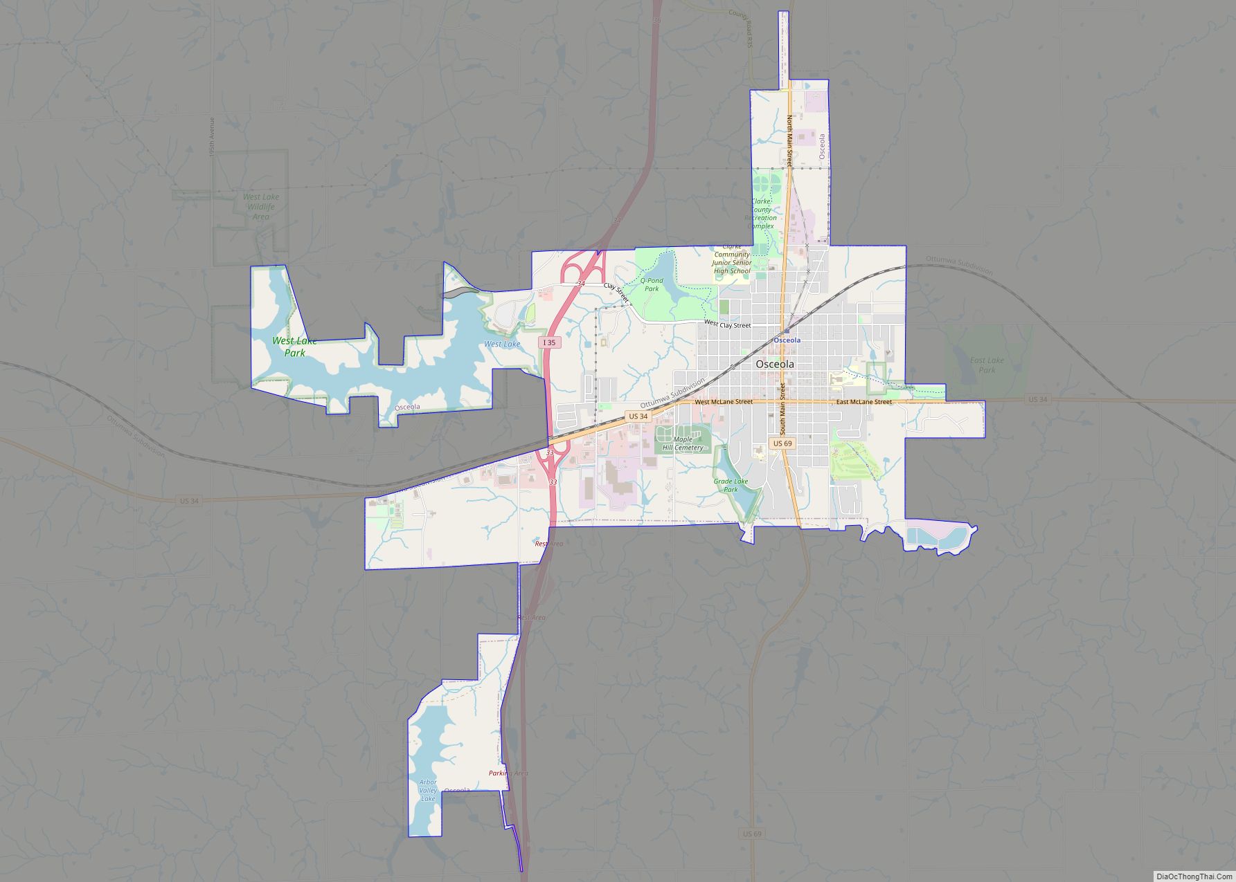
Osceola is a city in Clarke County, Iowa, United States. The population was 5,160 at the time of the 2020 census. It is the county seat of Clarke County. Osceola city overview: Name: Osceola city LSAD Code: 25 LSAD Description: city (suffix) State: Iowa County: Clarke County Elevation: 1,142 ft (348 m) Total Area: 7.60 sq mi (19.68 km²) Land ... Read more
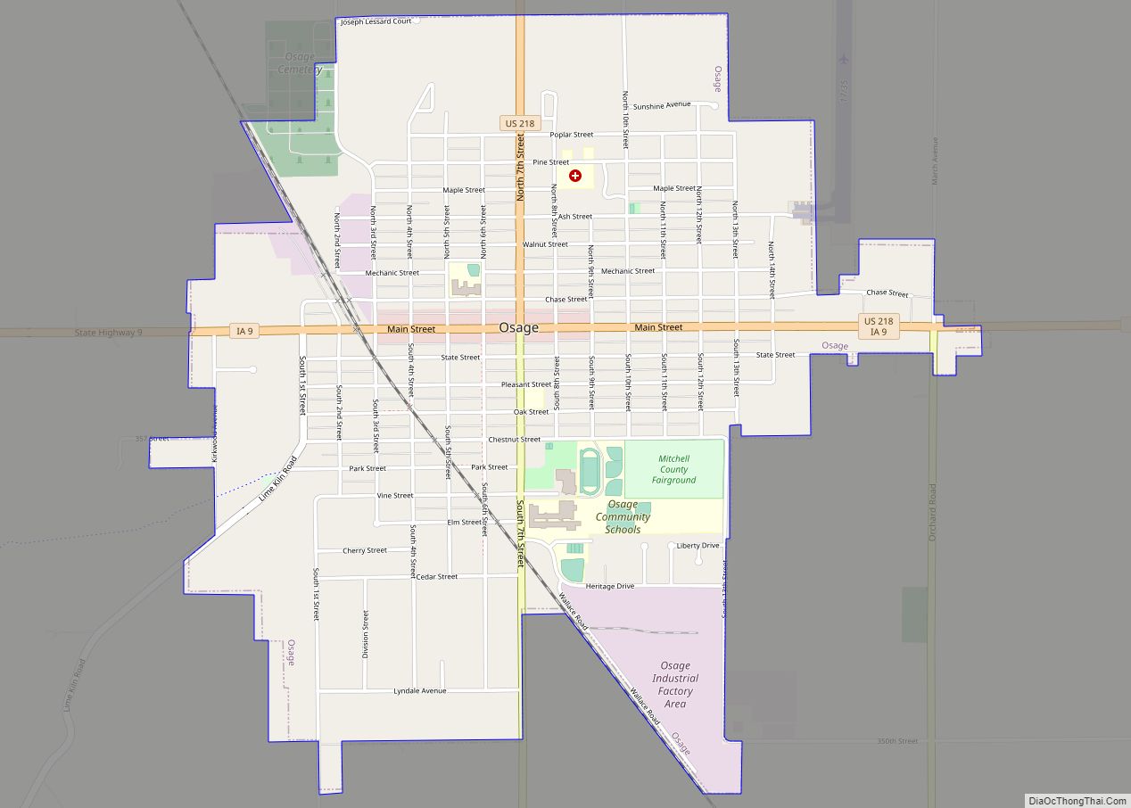
Osage is a city in Mitchell County, Iowa, United States. The population was 3,627 at the time of the 2020 census. It is the county seat of Mitchell County. Osage city overview: Name: Osage city LSAD Code: 25 LSAD Description: city (suffix) State: Iowa County: Mitchell County Elevation: 1,181 ft (360 m) Total Area: 2.24 sq mi (5.81 km²) Land ... Read more
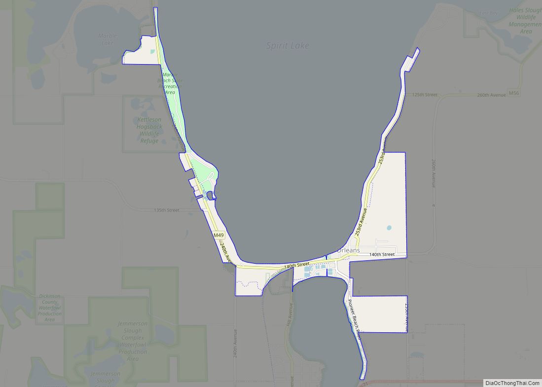
Orleans is a city in Dickinson County, Iowa, United States. The population was 521 at the time of the 2020 census. Orleans is part of the Iowa Great Lakes region, located along Spirit Lake. Numerous state parks are located within a few miles of the town, including Marble Beach and Mini-Wakan. Orleans city overview: Name: ... Read more
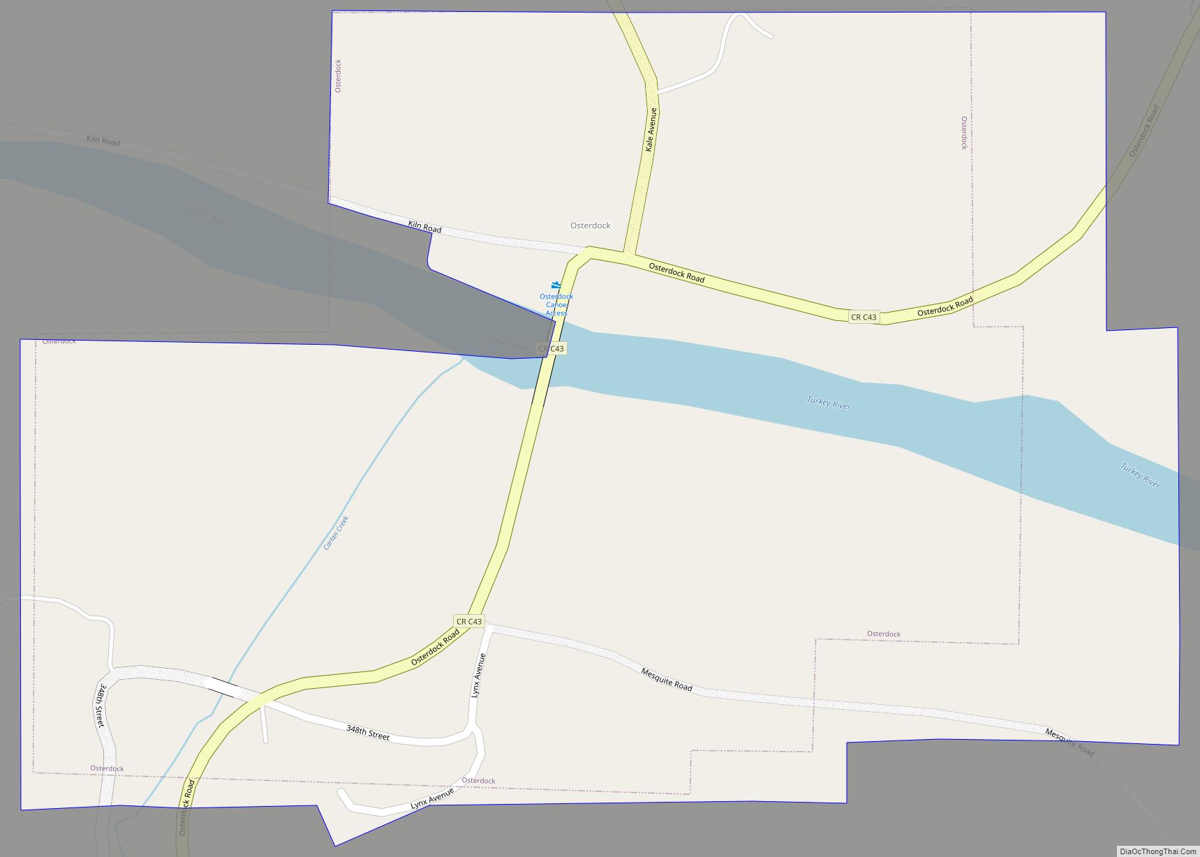
Osterdock is a city located in Clayton County, Iowa, United States. As of the 2020 census, the city had a total population of 43, down from 50 in 2000. Osterdock city overview: Name: Osterdock city LSAD Code: 25 LSAD Description: city (suffix) State: Iowa County: Clayton County Elevation: 640 ft (195 m) Total Area: 0.40 sq mi (1.02 km²) Land ... Read more
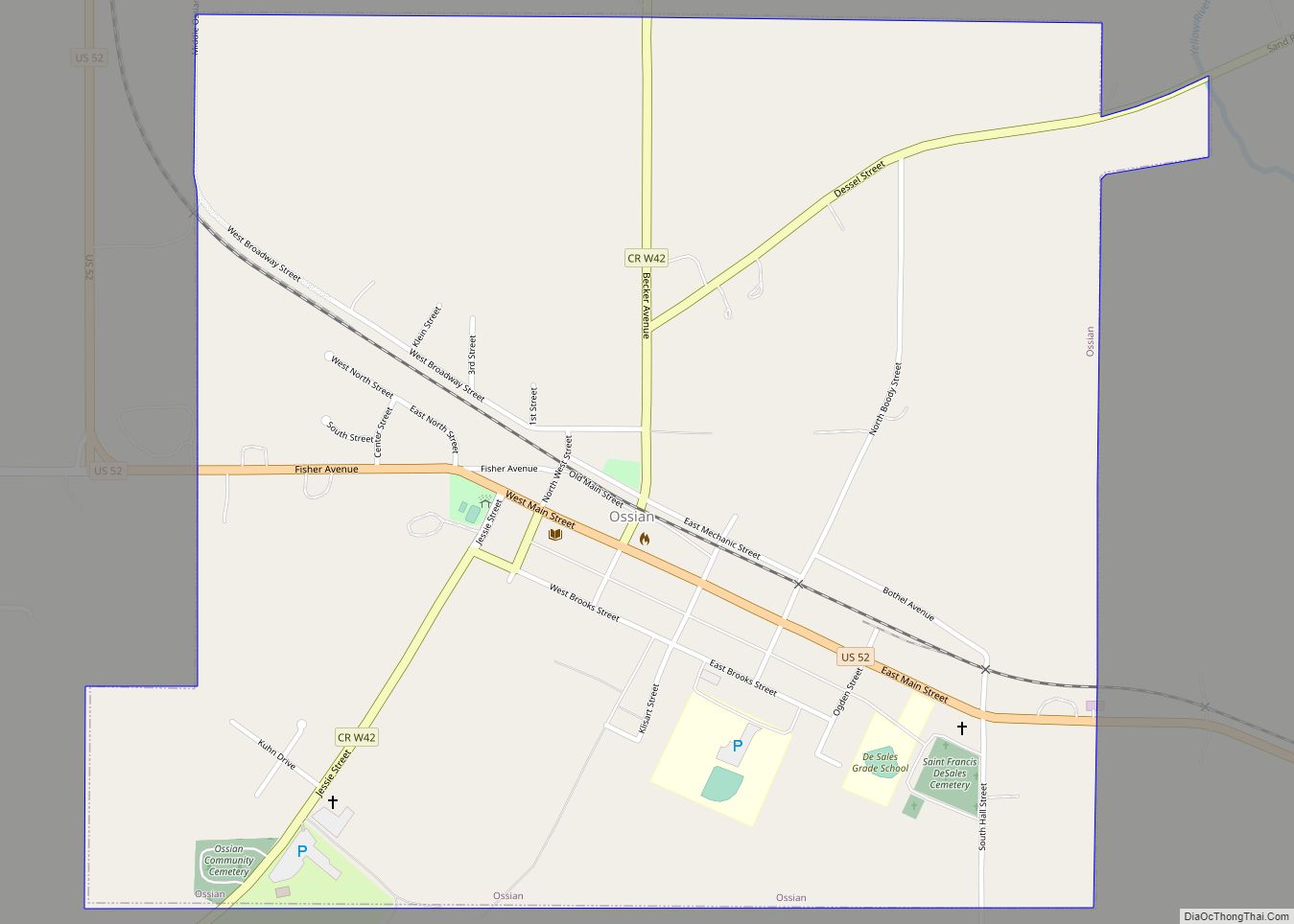
Ossian (pronounced|ˈosh-ain) is a city in Winneshiek County, Iowa, United States. The population was 802 at the time of the 2020 census. Ossian city overview: Name: Ossian city LSAD Code: 25 LSAD Description: city (suffix) State: Iowa County: Winneshiek County Elevation: 1,266 ft (386 m) Total Area: 1.07 sq mi (2.77 km²) Land Area: 1.07 sq mi (2.77 km²) Water Area: 0.00 sq mi (0.00 km²) ... Read more
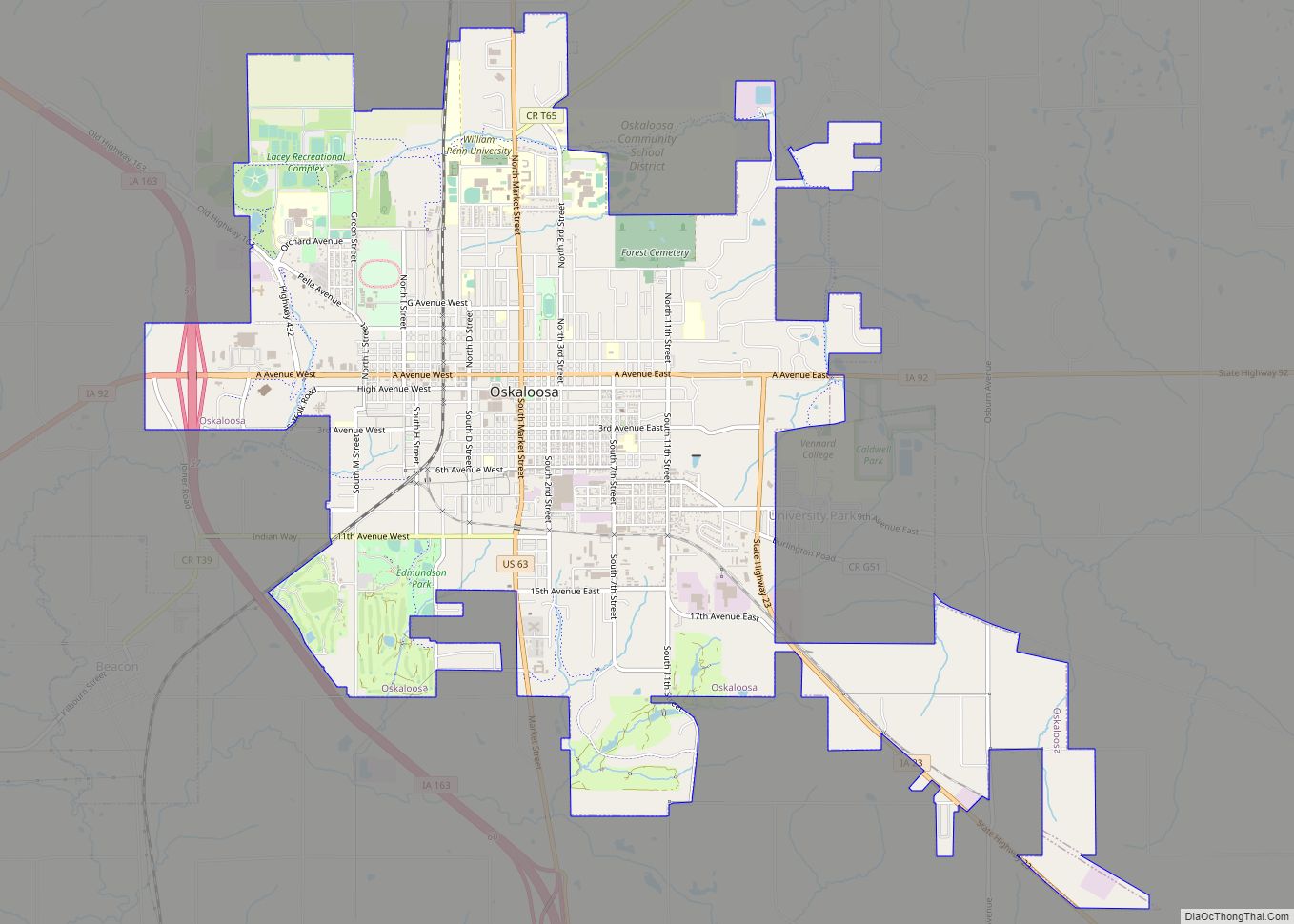
Oskaloosa is a city in, and the county seat of, Mahaska County, Iowa, United States. In the late nineteenth and early twentieth century, Oskaloosa was a national center of bituminous coal mining. The population was 11,558 in the 2020 U.S. Census, an increase from 10,938 in 2000. Oskaloosa city overview: Name: Oskaloosa city LSAD Code: ... Read more
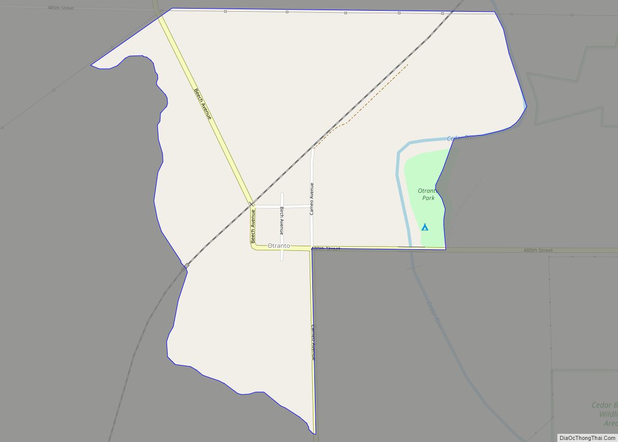
Otranto is an unincorporated community and census-designated place in Otranto Township, Mitchell County, in the U.S. state of Iowa. As of the 2020 census the population was 27, unchanged from 2010. Otranto CDP overview: Name: Otranto CDP LSAD Code: 57 LSAD Description: CDP (suffix) State: Iowa County: Mitchell County Elevation: 1,171 ft (357 m) Total Area: 0.41 sq mi ... Read more
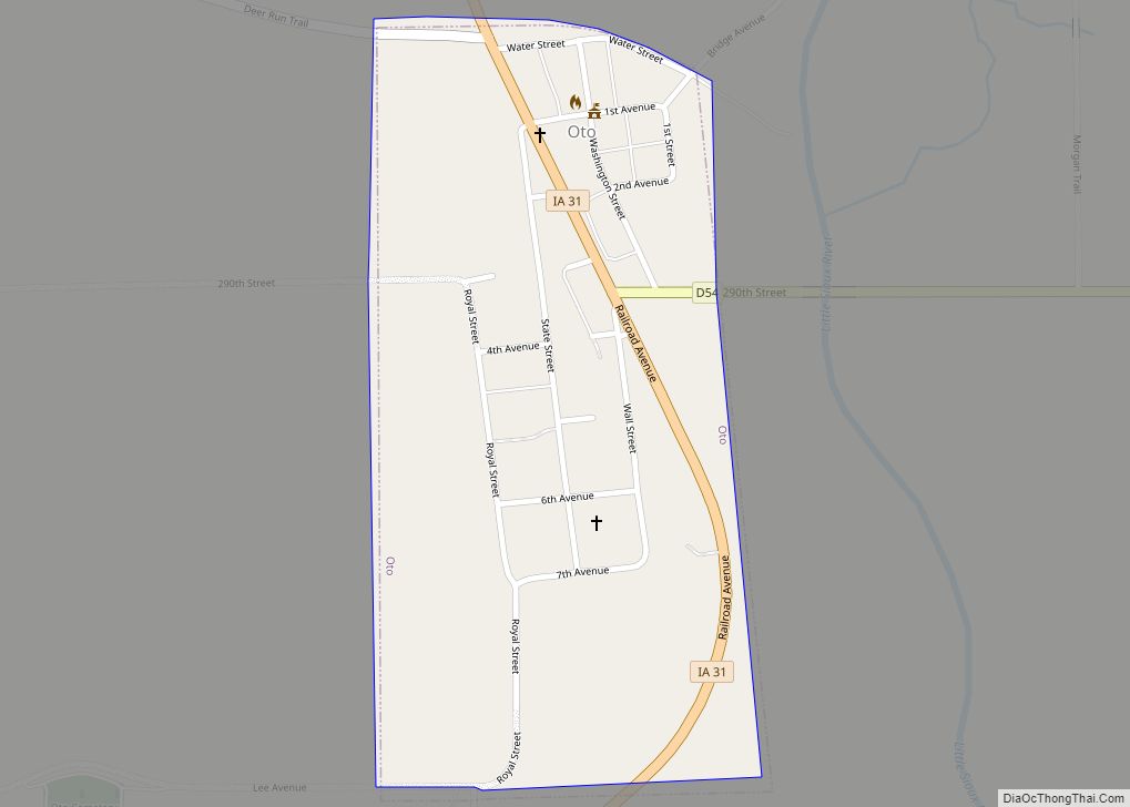
Oto is a city in Woodbury County, Iowa, United States. It is part of the Sioux City, IA–NE–SD Metropolitan Statistical Area. The population was 72 at the time of the 2020 census. Oto city overview: Name: Oto city LSAD Code: 25 LSAD Description: city (suffix) State: Iowa County: Woodbury County Elevation: 1,096 ft (334 m) Total Area: ... Read more
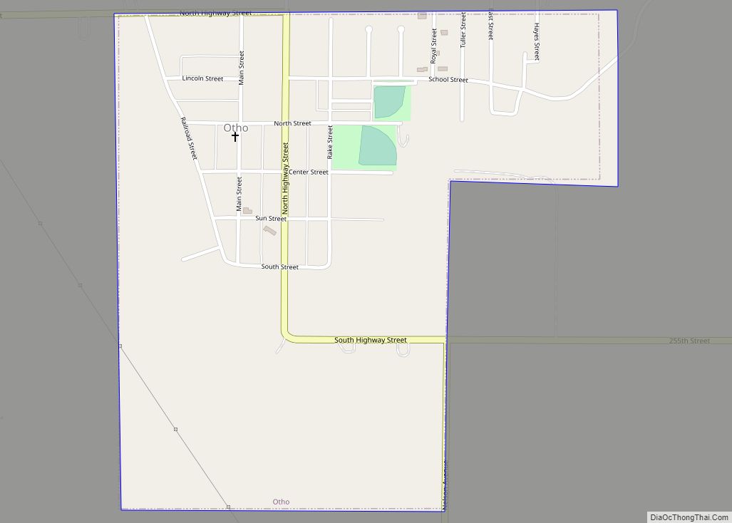
Otho is a city in Webster County, Iowa, United States. The population was 429 at the time of the 2020 census. Otho city overview: Name: Otho city LSAD Code: 25 LSAD Description: city (suffix) State: Iowa County: Webster County Elevation: 1,122 ft (342 m) Total Area: 0.44 sq mi (1.15 km²) Land Area: 0.44 sq mi (1.15 km²) Water Area: 0.00 sq mi (0.00 km²) Total ... Read more
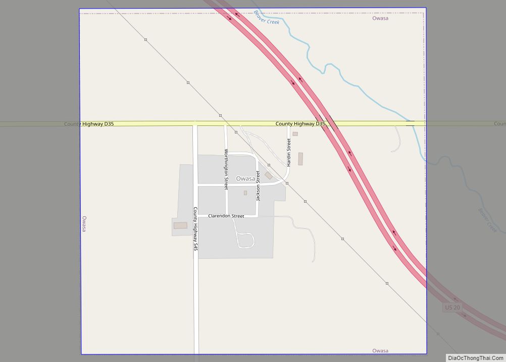
Owasa is a city in Hardin County, Iowa, United States. The population was 34 at the time of the 2020 census. Owasa city overview: Name: Owasa city LSAD Code: 25 LSAD Description: city (suffix) State: Iowa County: Hardin County Elevation: 1,083 ft (330 m) Total Area: 0.56 sq mi (1.46 km²) Land Area: 0.56 sq mi (1.46 km²) Water Area: 0.00 sq mi (0.00 km²) Total ... Read more
