Map of Pierson city, Iowa
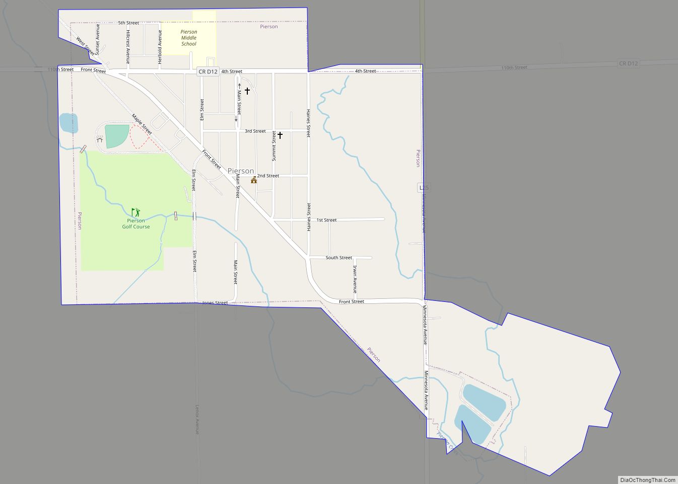
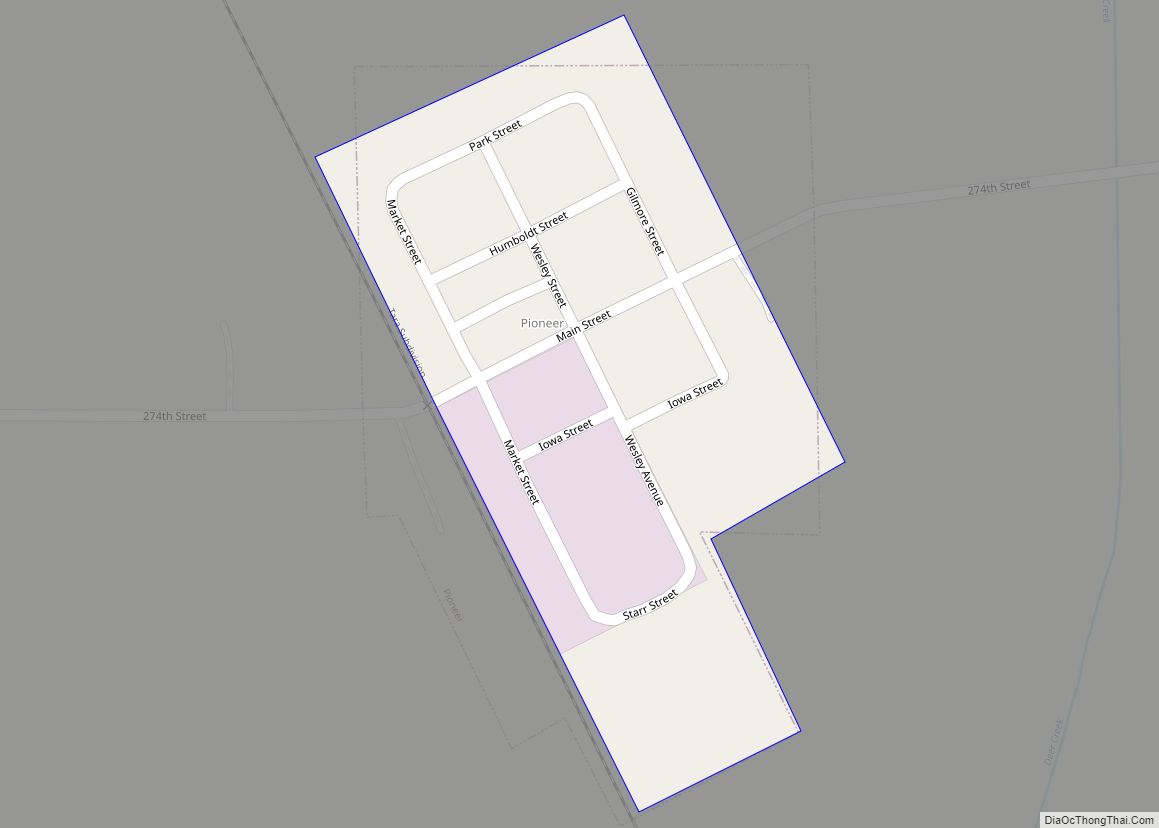
Pierson is a city in Woodbury County, Iowa, United States. It is part of the Sioux City, Iowa–Nebraska–South Dakota Metropolitan Statistical Area. The population was 337 at the time of the 2020 census. Pierson was platted in 1883 with railroads and lumberyards being important to its growth. The city started with only eight blocks of ... Read more
Map of Pierson city, Iowa
Map of Peterson city, Iowa
Peterson is a city in Clay County, Iowa, United States. The population was 322 in the 2020 census, a decline from 372 in 2000. Peterson city overview: Name: Peterson city LSAD Code: 25 LSAD Description: city (suffix) State: Iowa County: Clay County Elevation: 1,250 ft (381 m) Total Area: 0.54 sq mi (1.40 km²) Land Area: 0.52 sq mi (1.34 km²) Water Area: ... Read more
Map of Peterson city, Iowa
Map of Plainfield city, Iowa
Plainfield is a city in Bremer County, Iowa, United States. The population was 393 at the 2020 census, a decrease of 45, or 10.3%, from 438 in 2000. It is part of the Waterloo–Cedar Falls Metropolitan Statistical Area. Plainfield city overview: Name: Plainfield city LSAD Code: 25 LSAD Description: city (suffix) State: Iowa County: Bremer ... Read more
Map of Plainfield city, Iowa
Map of Pisgah city, Iowa
Pisgah is a city in Harrison County, Iowa, United States, along the Soldier River. The community is located in the midst of the Loess Hills. The population was 249 at the time of the 2020 census. Pisgah city overview: Name: Pisgah city LSAD Code: 25 LSAD Description: city (suffix) State: Iowa County: Harrison County Elevation: ... Read more
Map of Pisgah city, Iowa
Map of Pioneer city, Iowa
Pioneer city overview: Name: Pioneer city LSAD Code: 25 LSAD Description: city (suffix) State: Iowa County: Humboldt County FIPS code: 1962985 Online Interactive Map Pioneer online map. Source: Basemap layers from Google Map, Open Street Map (OSM), Arcgisonline, Wmflabs. Boundary Data from Database of Global Administrative Areas. Pioneer location map. Where is Pioneer city? Pioneer ... Read more
Map of Pioneer city, Iowa
Map of Pleasant Plain city, Iowa
Pleasant Plain is a city in northeast Penn Township, Jefferson County, Iowa, United States. At the time of the 2020 census, the population was 84. Pleasant Plain city overview: Name: Pleasant Plain city LSAD Code: 25 LSAD Description: city (suffix) State: Iowa County: Jefferson County Elevation: 751 ft (229 m) Total Area: 1.01 sq mi (2.62 km²) Land Area: 1.01 sq mi ... Read more
Map of Pleasant Plain city, Iowa
Map of Pleasant Hill city, Iowa
Pleasant Hill is a city in Polk County, Iowa, United States. The population was 10,147 at the time of the 2020 census. It is part of the Des Moines metropolitan area. As of July 2005, Pleasant Hill was assigned a ZIP code, 50327. Pleasant Hill city overview: Name: Pleasant Hill city LSAD Code: 25 LSAD ... Read more
Map of Pleasant Hill city, Iowa
Map of Plano city, Iowa
Plano is a city in Appanoose County, Iowa, United States. The population was 59 at the time of the 2020 census. Plano city overview: Name: Plano city LSAD Code: 25 LSAD Description: city (suffix) State: Iowa County: Appanoose County Elevation: 1,033 ft (315 m) Total Area: 0.56 sq mi (1.46 km²) Land Area: 0.56 sq mi (1.46 km²) Water Area: 0.00 sq mi (0.00 km²) Total ... Read more
Map of Plano city, Iowa
Map of Plover city, Iowa
Plover is a city in Pocahontas County, Iowa, United States. The population was 50 at the time of the 2020 census. Plover city overview: Name: Plover city LSAD Code: 25 LSAD Description: city (suffix) State: Iowa County: Pocahontas County Elevation: 1,211 ft (369 m) Total Area: 0.56 sq mi (1.45 km²) Land Area: 0.56 sq mi (1.45 km²) Water Area: 0.00 sq mi (0.00 km²) Total ... Read more
Map of Plover city, Iowa
Map of Pleasantville city, Iowa
Pleasantville is a city in Marion County in Iowa, United States. The population was 1,676 at the time of the 2020 census. Pleasantville is most famous for being the corporate headquarters of Smokey Row Coffee and the hometown of softball player Chelsea Thomas whose honors include, three time All American at The University of Missouri ... Read more
Map of Pleasantville city, Iowa
Map of Pleasanton city, Iowa
Pleasanton is a city in Decatur County, Iowa, United States. The population was 32 at the time of the 2020 census. Pleasanton city overview: Name: Pleasanton city LSAD Code: 25 LSAD Description: city (suffix) State: Iowa County: Decatur County Elevation: 1,093 ft (333 m) Total Area: 0.35 sq mi (0.91 km²) Land Area: 0.35 sq mi (0.91 km²) Water Area: 0.00 sq mi (0.00 km²) Total ... Read more
Map of Pleasanton city, Iowa
Map of Polk City, Iowa
Polk City is a city in Polk County, Iowa, United States. The population was 5543 in the 2020 census, an increase from 2,344 in 2000. It is part of the Des Moines–West Des Moines Metropolitan Statistical Area. Polk City is located along Saylorville Lake and near Big Creek State Park. Polk City city overview: Name: ... Read more
Map of Polk City, Iowa