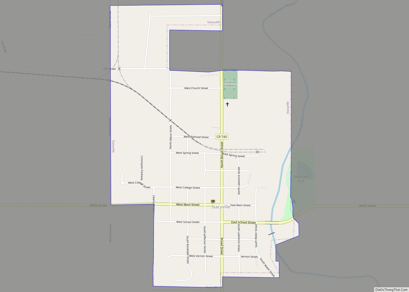
Stacyville is a city in Mitchell County, Iowa, United States. The population was 458 at the time of the 2020 census. Stacyville city overview: Name: Stacyville city LSAD Code: 25 LSAD Description: city (suffix) State: Iowa County: Mitchell County Elevation: 1,198 ft (365 m) Total Area: 0.54 sq mi (1.39 km²) Land Area: 0.52 sq mi (1.33 km²) Water Area: 0.02 sq mi (0.06 km²) Total ... Read more