Stratford is a city in Hamilton and Webster counties in the U.S. state of Iowa. The population was 707 at the time of the 2020 census.
| Name: | Stratford city |
|---|---|
| LSAD Code: | 25 |
| LSAD Description: | city (suffix) |
| State: | Iowa |
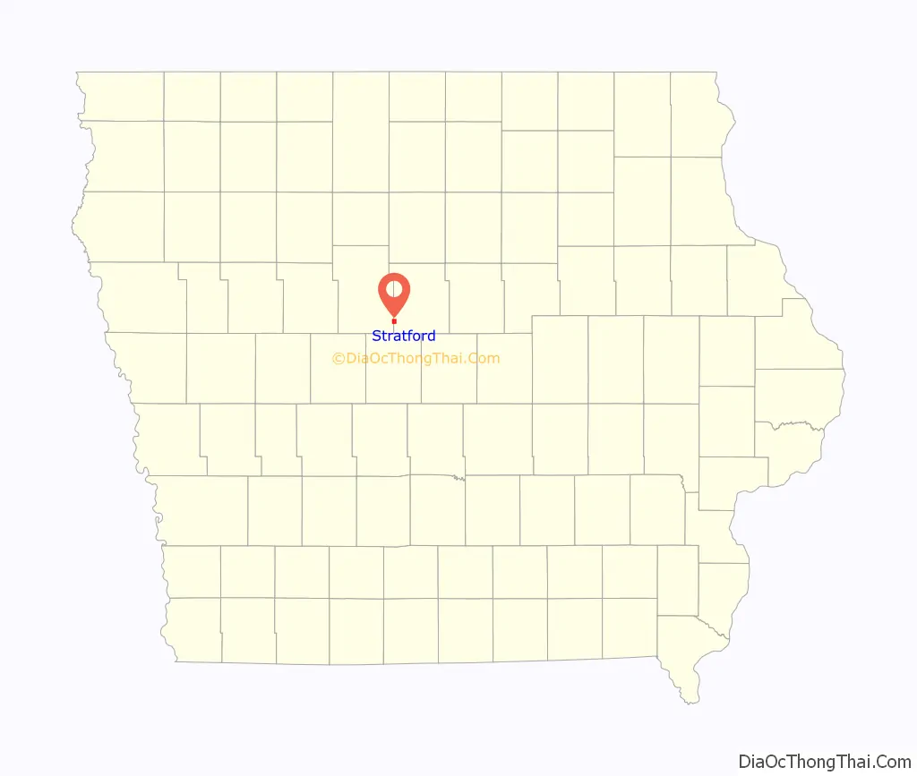
| County: | Hamilton County, Webster County |
| Elevation: | 1,109 ft (338 m) |
| Total Area: | 1.81 sq mi (4.70 km²) |
| Land Area: | 1.81 sq mi (4.70 km²) |
| Water Area: | 0.00 sq mi (0.00 km²) |
| Total Population: | 707 |
| Population Density: | 389.53/sq mi (150.39/km²) |
| ZIP code: | 50249 |
| Area code: | 515 |
| FIPS code: | 1975810 |
| GNISfeature ID: | 0462029 |
| Website: | www.stratfordiowa.com |
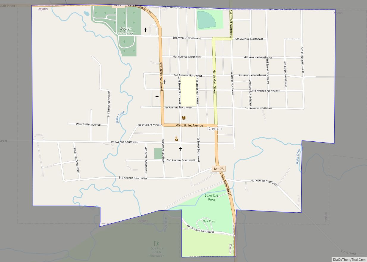
Online Interactive Map
Click on ![]() to view map in "full screen" mode.
to view map in "full screen" mode.
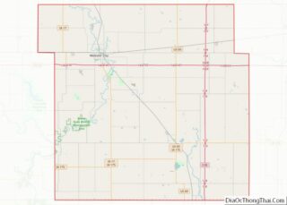
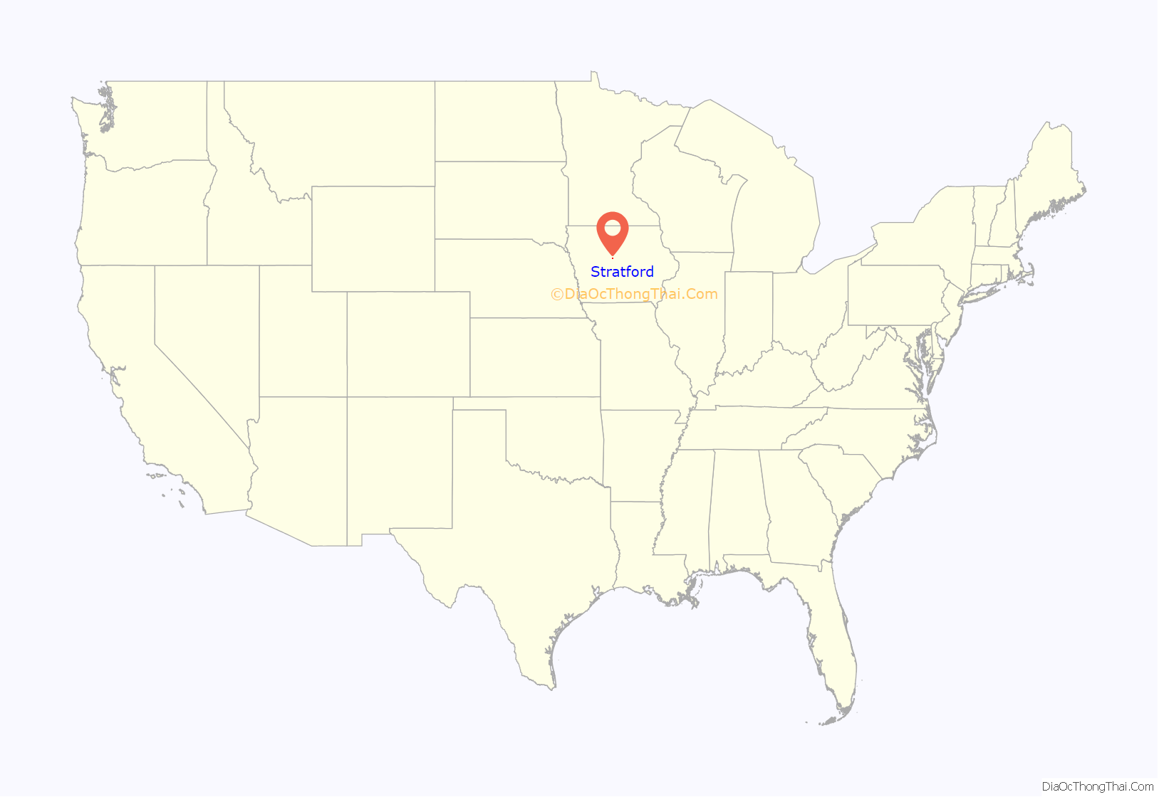
Stratford location map. Where is Stratford city?
History
Stratford was platted in 1880. It was named after Stratford-upon-Avon, in England. A post office has been in operation in Stratford since 1881. Stratford was actually first founded at Hook’s Point, Hamilton County, Iowa. Stratford had a train coming through from 1880 until World War II. Stratford has an independent school system with an elementary school located on the corner of Shakespeare Avenue and Dryden Street.
An F3 tornado struck Stratford on November 12, 2005, with one person killed.
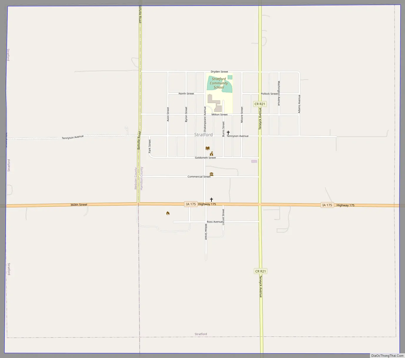
Stratford Road Map
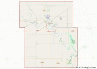
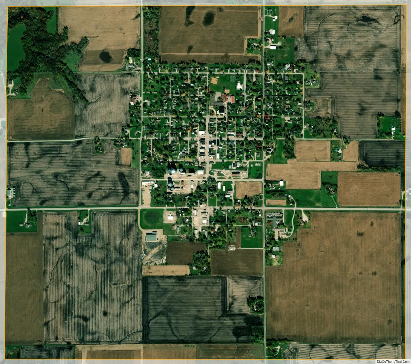
Stratford city Satellite Map
Geography
Stratford’s longitude and latitude coordinates
in decimal form are 42.270919, -93.926862.
According to the United States Census Bureau, the city has a total area of 1.91 square miles (4.95 km), all land.
See also
Map of Iowa State and its subdivision:- Adair
- Adams
- Allamakee
- Appanoose
- Audubon
- Benton
- Black Hawk
- Boone
- Bremer
- Buchanan
- Buena Vista
- Butler
- Calhoun
- Carroll
- Cass
- Cedar
- Cerro Gordo
- Cherokee
- Chickasaw
- Clarke
- Clay
- Clayton
- Clinton
- Crawford
- Dallas
- Davis
- Decatur
- Delaware
- Des Moines
- Dickinson
- Dubuque
- Emmet
- Fayette
- Floyd
- Franklin
- Fremont
- Greene
- Grundy
- Guthrie
- Hamilton
- Hancock
- Hardin
- Harrison
- Henry
- Howard
- Humboldt
- Ida
- Iowa
- Jackson
- Jasper
- Jefferson
- Johnson
- Jones
- Keokuk
- Kossuth
- Lee
- Linn
- Louisa
- Lucas
- Lyon
- Madison
- Mahaska
- Marion
- Marshall
- Mills
- Mitchell
- Monona
- Monroe
- Montgomery
- Muscatine
- O'Brien
- Osceola
- Page
- Palo Alto
- Plymouth
- Pocahontas
- Polk
- Pottawattamie
- Poweshiek
- Ringgold
- Sac
- Scott
- Shelby
- Sioux
- Story
- Tama
- Taylor
- Union
- Van Buren
- Wapello
- Warren
- Washington
- Wayne
- Webster
- Winnebago
- Winneshiek
- Woodbury
- Worth
- Wright
- Alabama
- Alaska
- Arizona
- Arkansas
- California
- Colorado
- Connecticut
- Delaware
- District of Columbia
- Florida
- Georgia
- Hawaii
- Idaho
- Illinois
- Indiana
- Iowa
- Kansas
- Kentucky
- Louisiana
- Maine
- Maryland
- Massachusetts
- Michigan
- Minnesota
- Mississippi
- Missouri
- Montana
- Nebraska
- Nevada
- New Hampshire
- New Jersey
- New Mexico
- New York
- North Carolina
- North Dakota
- Ohio
- Oklahoma
- Oregon
- Pennsylvania
- Rhode Island
- South Carolina
- South Dakota
- Tennessee
- Texas
- Utah
- Vermont
- Virginia
- Washington
- West Virginia
- Wisconsin
- Wyoming