Map of Truro city

Map of Truro city

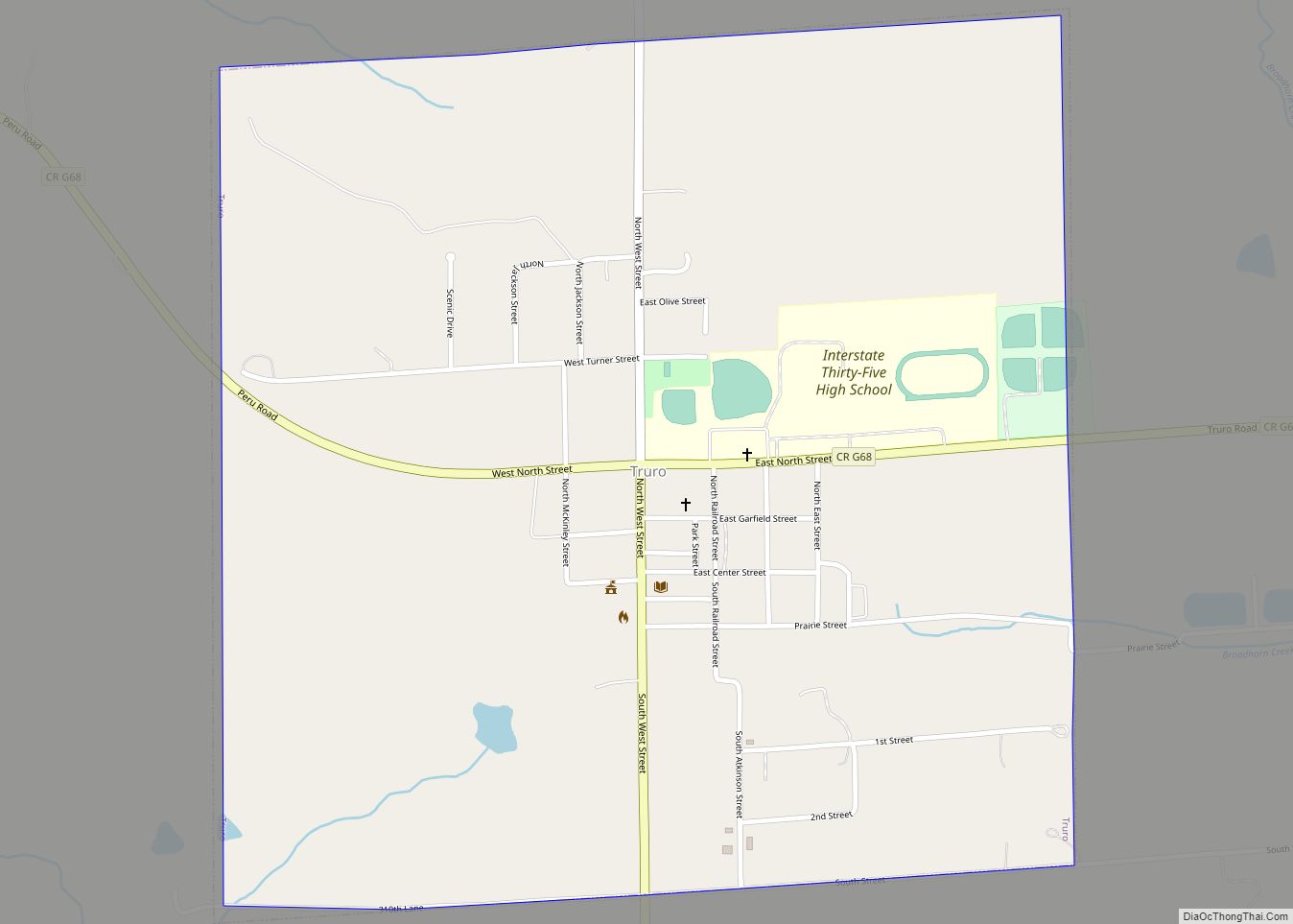
Truro is a city in southeast Madison County, Iowa, United States. The population was 509 at the time of the 2020 census. Truro is part of the Des Moines–West Des Moines Metropolitan Statistical Area. Truro city overview: Name: Truro city LSAD Code: 25 LSAD Description: city (suffix) State: Iowa County: Madison County Elevation: 1,080 ft (330 m) … Read more

Map of Truesdale city

Map of Truesdale city, Iowa

Truesdale is a city in Buena Vista County, Iowa, United States. The population was 69 at the time of the 2020 census. Truesdale city overview: Name: Truesdale city LSAD Code: 25 LSAD Description: city (suffix) State: Iowa County: Buena Vista County Elevation: 1,368 ft (417 m) Total Area: 0.15 sq mi (0.38 km²) Land Area: 0.15 sq mi (0.38 km²) Water Area: 0.00 sq mi … Read more

Map of Underwood city

Map of Underwood city, Iowa

Underwood is a town in Pottawattamie County, Iowa, United States. The population was 954 at the time of the 2020 census. Underwood city overview: Name: Underwood city LSAD Code: 25 LSAD Description: city (suffix) State: Iowa County: Pottawattamie County Elevation: 1,070 ft (326 m) Total Area: 1.11 sq mi (2.89 km²) Land Area: 1.09 sq mi (2.82 km²) Water Area: 0.03 sq mi (0.07 km²) Total … Read more

Map of Udell city

Map of Udell city

Udell is a city in Appanoose County, Iowa, United States. The population was 28 at the time of the 2020 census. Udell city overview: Name: Udell city LSAD Code: 25 LSAD Description: city (suffix) State: Iowa County: Appanoose County Elevation: 994 ft (303 m) Total Area: 0.28 sq mi (0.73 km²) Land Area: 0.28 sq mi (0.73 km²) Water Area: 0.00 sq mi (0.00 km²) Total … Read more

Map of Twin Lakes CDP, Iowa

Map of Twin Lakes CDP, Iowa

Twin Lakes is an unincorporated community and census-designated place (CDP) in Twin Lakes and Sherman townships in Calhoun County, Iowa, United States. As of the 2010 census it had a population of 334. Twin Lakes CDP overview: Name: Twin Lakes CDP LSAD Code: 57 LSAD Description: CDP (suffix) State: Iowa County: Calhoun County Elevation: 1,214 ft … Read more

Map of University Heights city

Map of University Heights city, Iowa

University Heights is a city in Johnson County, Iowa, United States. It is part of the Iowa City, Iowa Metropolitan Statistical Area. The population was 1,228 at the time of the 2020 census. It is an enclave surrounded by Iowa City, located near the campus of the University of Iowa. University Heights is very close … Read more

Map of Unionville city, Iowa

Map of Unionville city, Iowa

Unionville is a city in Appanoose County, Iowa, United States. The population was 75 at the time of the 2020 census. It has a post office which is open two hours per day (11:45 AM through 1:45 PM) Monday through Saturday. Unionville city overview: Name: Unionville city LSAD Code: 25 LSAD Description: city (suffix) State: … Read more

Map of Union city, Iowa

Map of Union city, Iowa

Union is a city in Hardin County, Iowa, United States. The population was 399 at the time of the 2020 census. Union city overview: Name: Union city LSAD Code: 25 LSAD Description: city (suffix) State: Iowa County: Hardin County Elevation: 942 ft (287 m) Total Area: 0.57 sq mi (1.48 km²) Land Area: 0.57 sq mi (1.48 km²) Water Area: 0.00 sq mi (0.00 km²) Total … Read more

Map of Urbandale city

Map of Urbandale city

Urbandale is a city in Polk and Dallas counties, Iowa, United States. As of the 2020 U.S. Census, the city population was 45,580. It is part of the Des Moines–West Des Moines Metropolitan Statistical Area. Urbandale city overview: Name: Urbandale city LSAD Code: 25 LSAD Description: city (suffix) State: Iowa County: Dallas County, Polk County … Read more

Map of Urbana city

Map of Urbana city, Iowa

Urbana is a city in Benton County, Iowa, United States. The population was 1,554 at the time of the 2020 census. It is part of the Cedar Rapids Metropolitan Statistical Area. Urbana city overview: Name: Urbana city LSAD Code: 25 LSAD Description: city (suffix) State: Iowa County: Benton County Elevation: 938 ft (286 m) Total Area: 1.81 sq mi … Read more

Map of University Park city, Iowa

Map of University Park city, Iowa

University Park is a city in Mahaska County, Iowa, United States. The population was 487 at the 2020 census. University Park city overview: Name: University Park city LSAD Code: 25 LSAD Description: city (suffix) State: Iowa County: Mahaska County Elevation: 817 ft (249 m) Total Area: 0.78 sq mi (2.02 km²) Land Area: 0.78 sq mi (2.02 km²) Water Area: 0.00 sq mi (0.00 km²) Total … Read more

Map of Valeria city

Map of Valeria city

Valeria is a city in Jasper County, Iowa, United States. The population was 39 at the time of the 2020 census. Valeria city overview: Name: Valeria city LSAD Code: 25 LSAD Description: city (suffix) State: Iowa County: Jasper County Elevation: 876 ft (267 m) Total Area: 0.05 sq mi (0.13 km²) Land Area: 0.05 sq mi (0.13 km²) Water Area: 0.00 sq mi (0.00 km²) Total … Read more