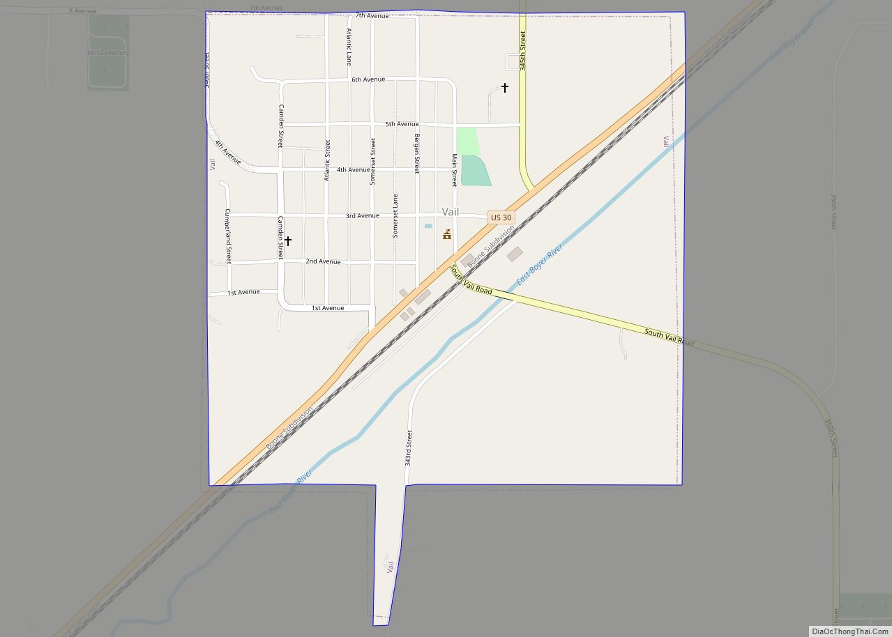
Vail is a city in Crawford County, Iowa, United States. The population was 396 at the time of the 2020 census. Vail city overview: Name: Vail city LSAD Code: 25 LSAD Description: city (suffix) State: Iowa County: Crawford County Elevation: 1,260 ft (384 m) Total Area: 0.57 sq mi (1.48 km²) Land Area: 0.57 sq mi (1.48 km²) Water Area: 0.00 sq mi (0.00 km²) Total ... Read more
Iowa Cities and Places
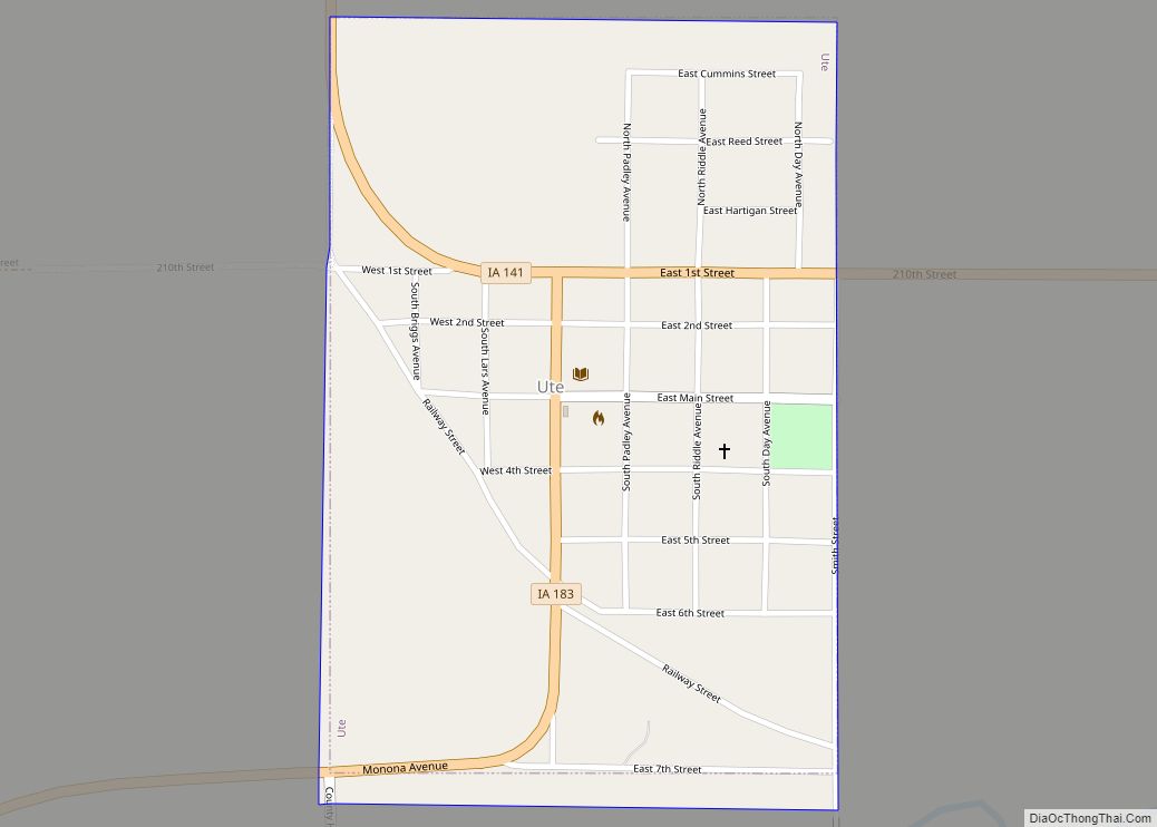
Ute is a city in Monona County, Iowa, United States, along the Soldier River. The population was 338 at the time of the 2020 census. Ute city overview: Name: Ute city LSAD Code: 25 LSAD Description: city (suffix) State: Iowa County: Monona County Elevation: 1,243 ft (379 m) Total Area: 0.37 sq mi (0.96 km²) Land Area: 0.37 sq mi (0.96 km²) Water ... Read more
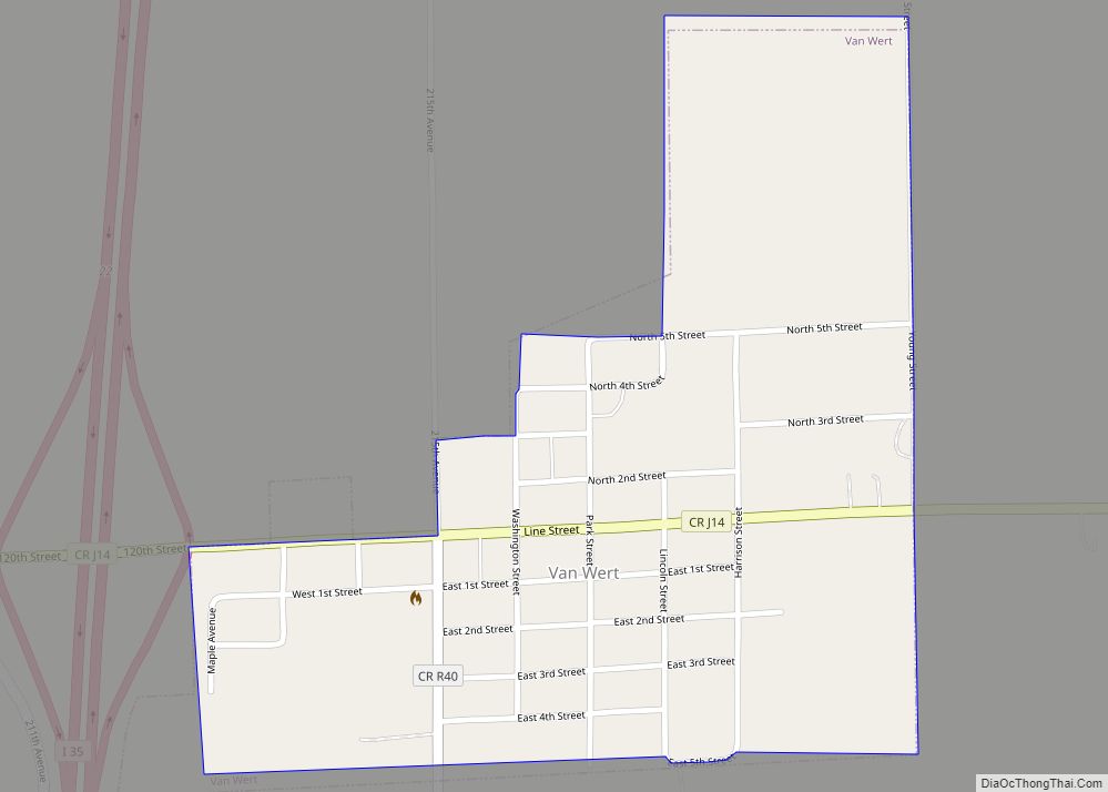
Van Wert is a city in northern Decatur County, Iowa, United States. The population was 178 at the time of the 2020 census. Van Wert city overview: Name: Van Wert city LSAD Code: 25 LSAD Description: city (suffix) State: Iowa County: Decatur County Elevation: 1,161 ft (354 m) Total Area: 0.36 sq mi (0.93 km²) Land Area: 0.36 sq mi (0.92 km²) Water ... Read more
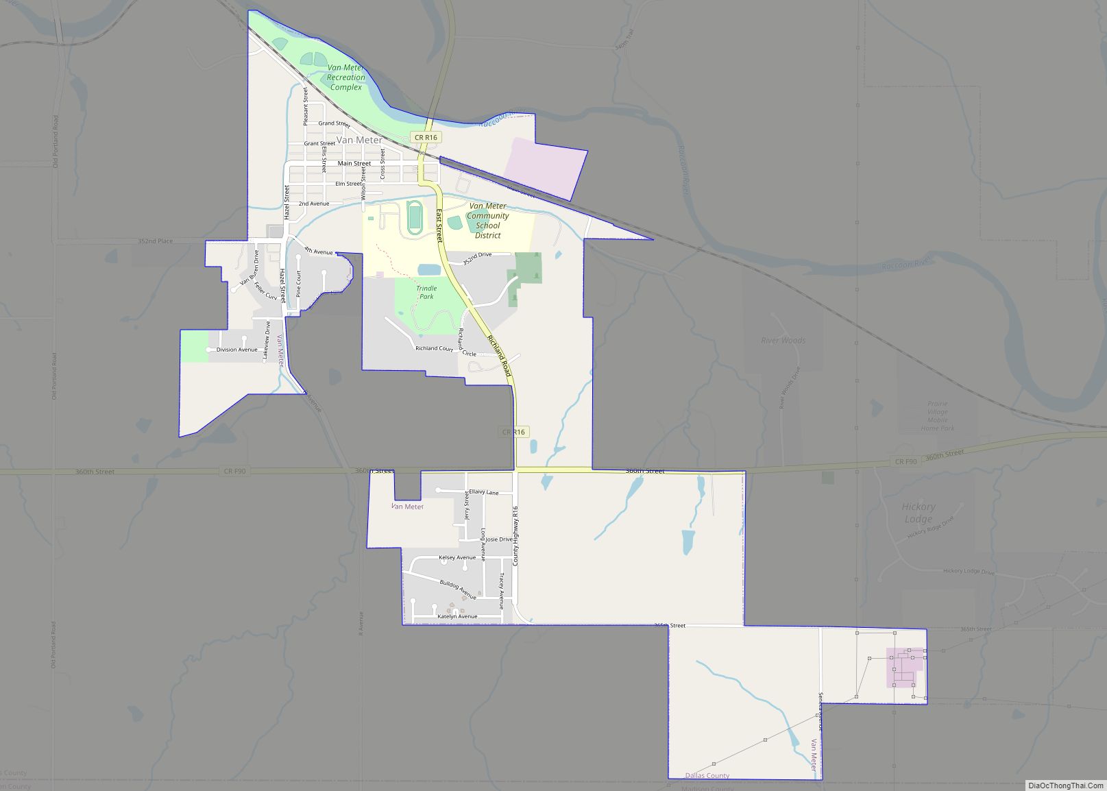
Van Meter is a city in Dallas County, Iowa, United States, situated along the Raccoon River. The population was 1,484 at the time of the 2020 census. Van Meter is part of the Des Moines–West Des Moines Metropolitan Statistical Area. Van Meter city overview: Name: Van Meter city LSAD Code: 25 LSAD Description: city (suffix) ... Read more
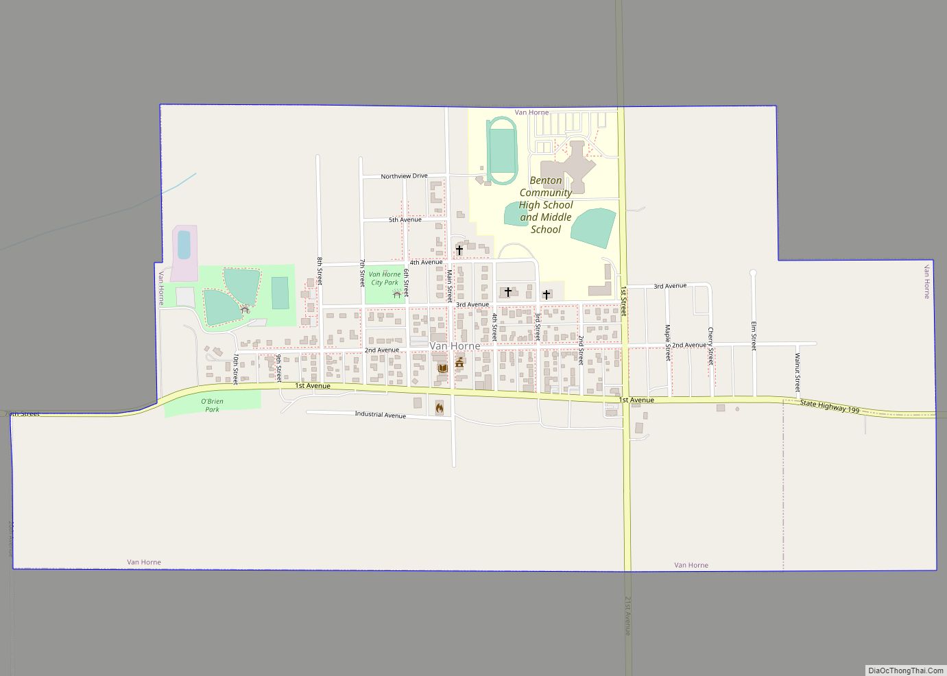
Van Horne is a city in Benton County, Iowa, United States. The population was 774 at the 2020 census. It is part of the Cedar Rapids Metropolitan Statistical Area. Van Horne city overview: Name: Van Horne city LSAD Code: 25 LSAD Description: city (suffix) State: Iowa County: Benton County Elevation: 945 ft (288 m) Total Area: 0.93 sq mi ... Read more
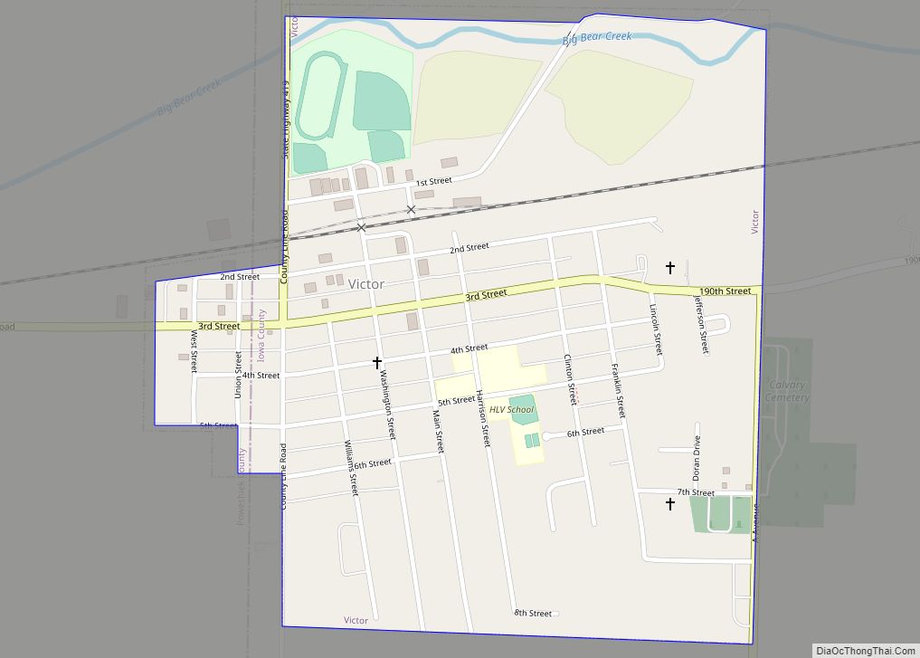
Victor is a town in Poweshiek and Iowa counties in the U.S. state of Iowa. The population was 875 in the 2020 census, a decline from the population of 952 in 2000. Victor city overview: Name: Victor city LSAD Code: 25 LSAD Description: city (suffix) State: Iowa County: Iowa County, Poweshiek County Elevation: 810 ft (247 m) ... Read more
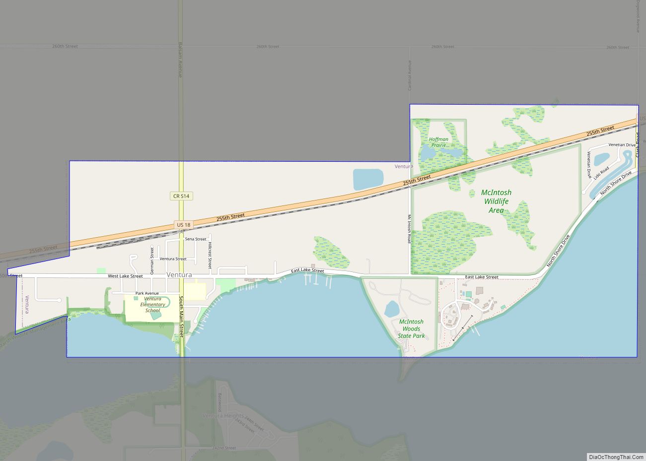
Ventura is a city in Cerro Gordo County, Iowa, United States. The population was 711 at the time of the 2020 census. It is part of the Mason City Micropolitan Statistical Area. Ventura is located on the northeastern basin of Clear Lake, making it an area with many lakeside areas. Ventura city overview: Name: Ventura ... Read more
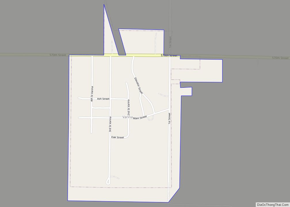
Varina is an incorporated small, rural village in Pocahontas County, Iowa, United States. The population was 68 at the time of the 2020 census. Varina city overview: Name: Varina city LSAD Code: 25 LSAD Description: city (suffix) State: Iowa County: Pocahontas County Elevation: 1,260 ft (384 m) Total Area: 0.22 sq mi (0.57 km²) Land Area: 0.22 sq mi (0.57 km²) Water Area: ... Read more
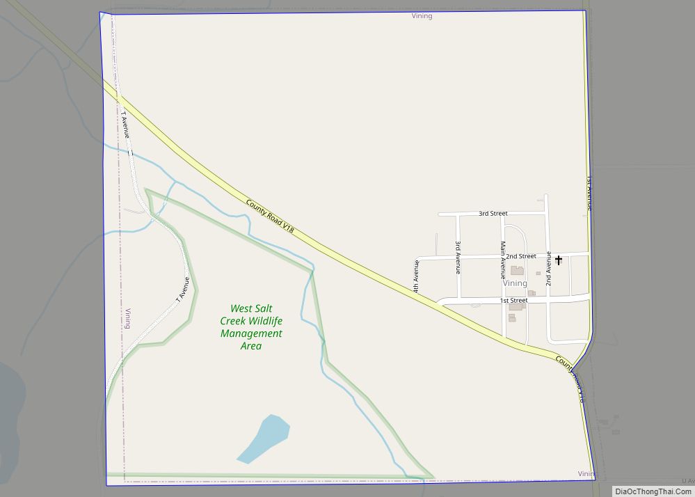
Vining is a city in Tama County, Iowa, United States. The population was 54 at the time of the 2020 census. Vining city overview: Name: Vining city LSAD Code: 25 LSAD Description: city (suffix) State: Iowa County: Tama County Elevation: 896 ft (273 m) Total Area: 0.55 sq mi (1.43 km²) Land Area: 0.55 sq mi (1.43 km²) Water Area: 0.00 sq mi (0.00 km²) Total ... Read more
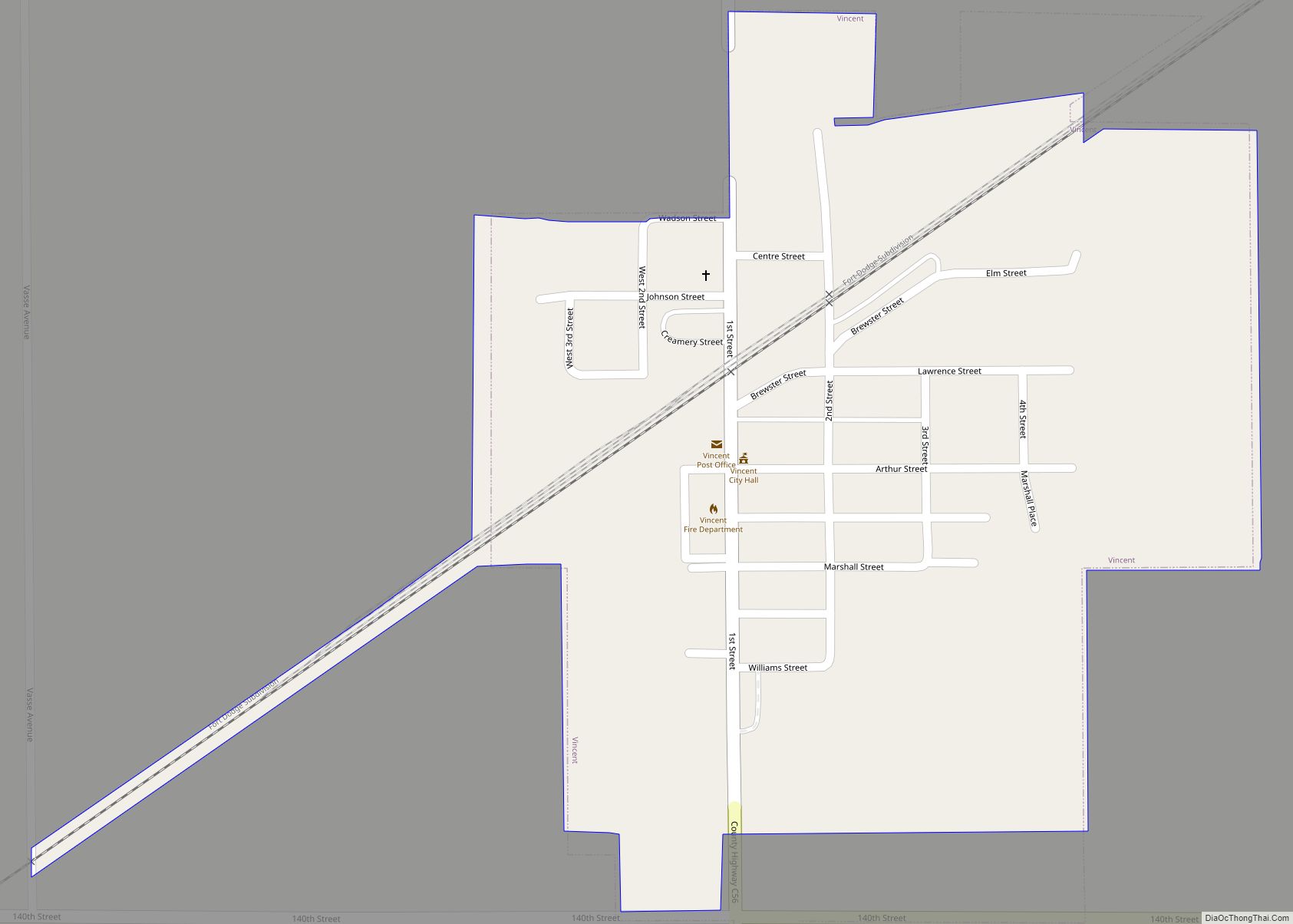
Vincent is a city in Webster County, Iowa, United States. The population was 130 at the time of the 2020 census. Vincent city overview: Name: Vincent city LSAD Code: 25 LSAD Description: city (suffix) State: Iowa County: Webster County Elevation: 1,138 ft (347 m) Total Area: 0.26 sq mi (0.67 km²) Land Area: 0.26 sq mi (0.67 km²) Water Area: 0.00 sq mi (0.00 km²) Total ... Read more
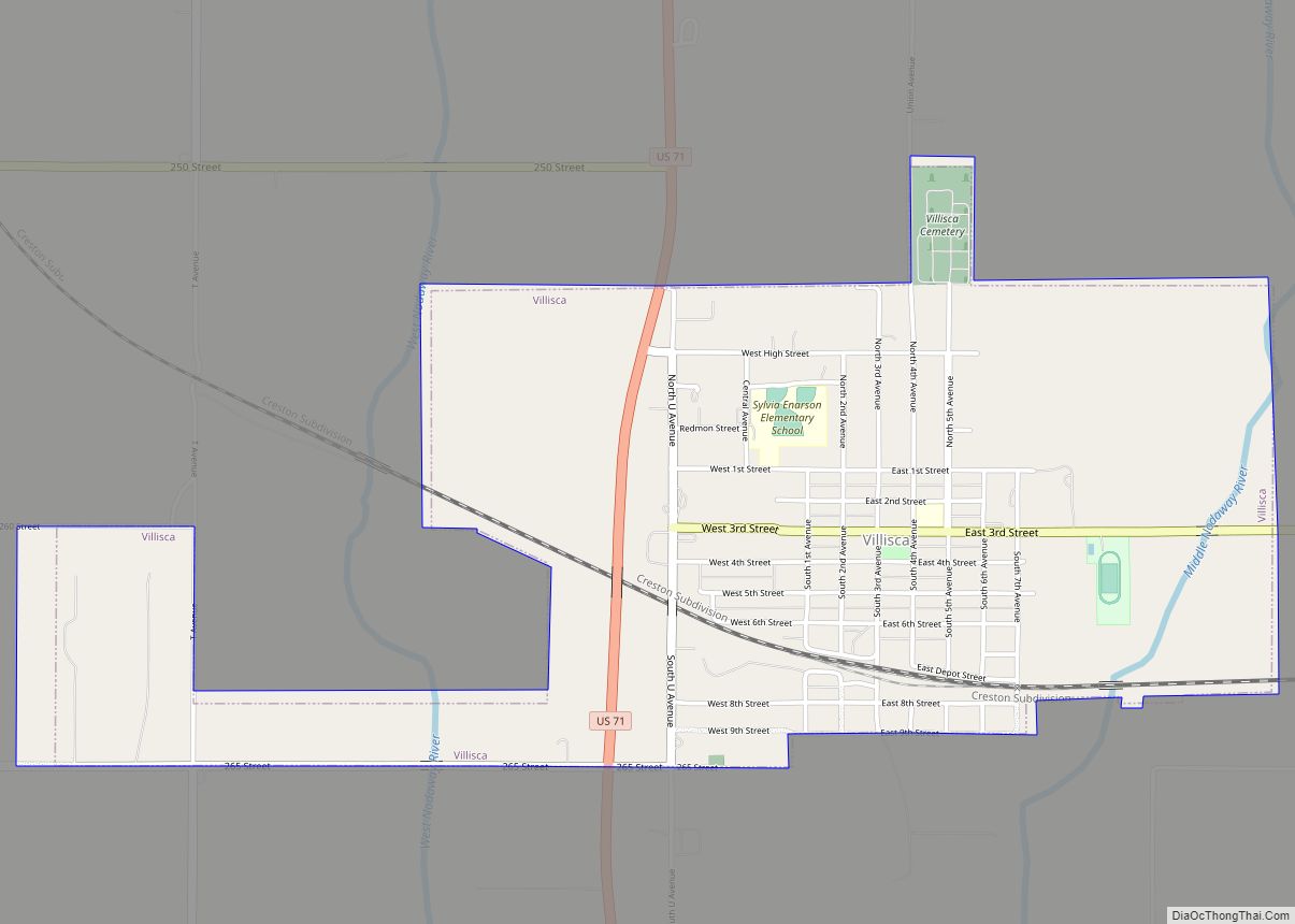
Villisca is a city in Montgomery County, Iowa, United States. The population was 1,132 at the time of the 2020 census. It is most notable for the unsolved axe mass murder that took place in the town during the summer of 1912. Villisca city overview: Name: Villisca city LSAD Code: 25 LSAD Description: city (suffix) ... Read more
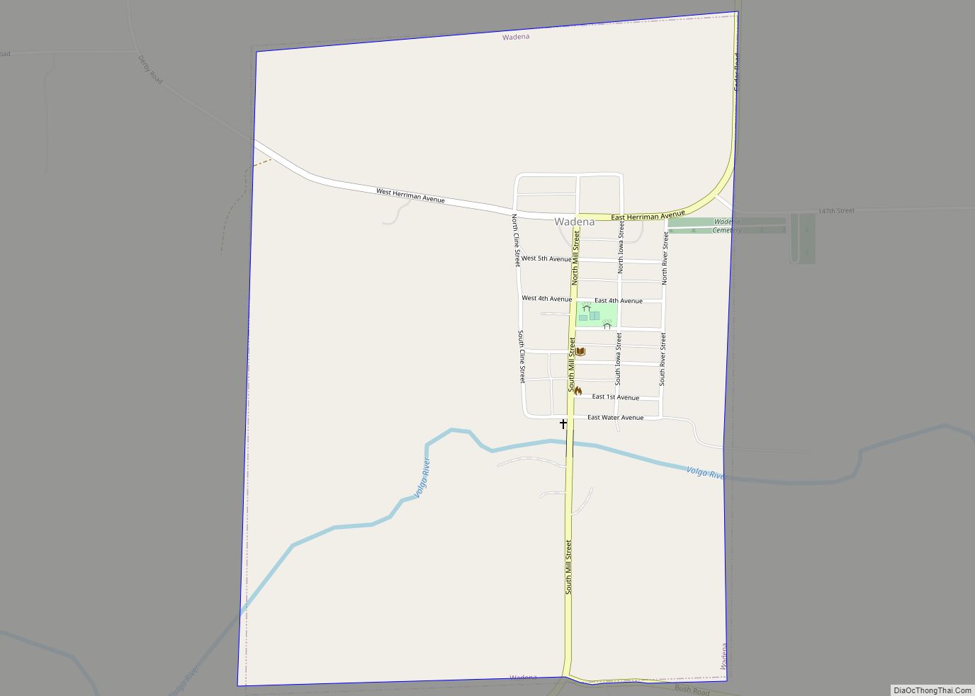
Wadena is a city in Fayette County, Iowa, United States. The population was 209 at the time of the 2020 census. Wadena’s electricity is supplied by Alliant Energy. Its land-line phone and DSL internet service is provided by Windstream. Cellular phone service is mainly provided by U.S. Cellular, as they have a tower located just ... Read more
