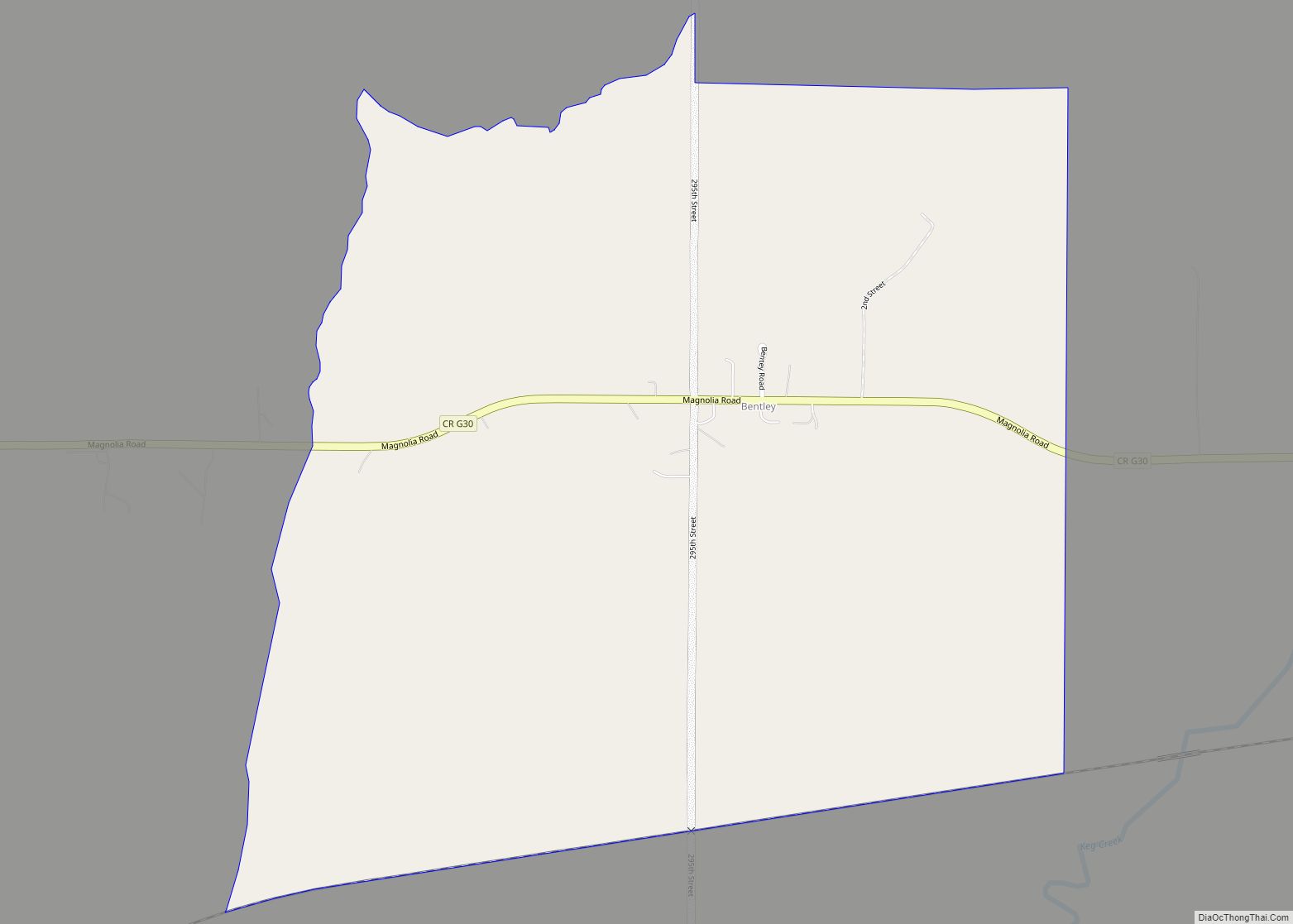
Bentley is a census-designated place located in the eastern portion of Norwalk Township in Pottawattamie County in the state of Iowa, United States. As of the 2010 census the population was 118. Its location is approximately 4 miles (6 km) east of the city of Underwood. Bentley CDP overview: Name: Bentley CDP LSAD Code: 57 LSAD ... Read more
Iowa Cities and Places
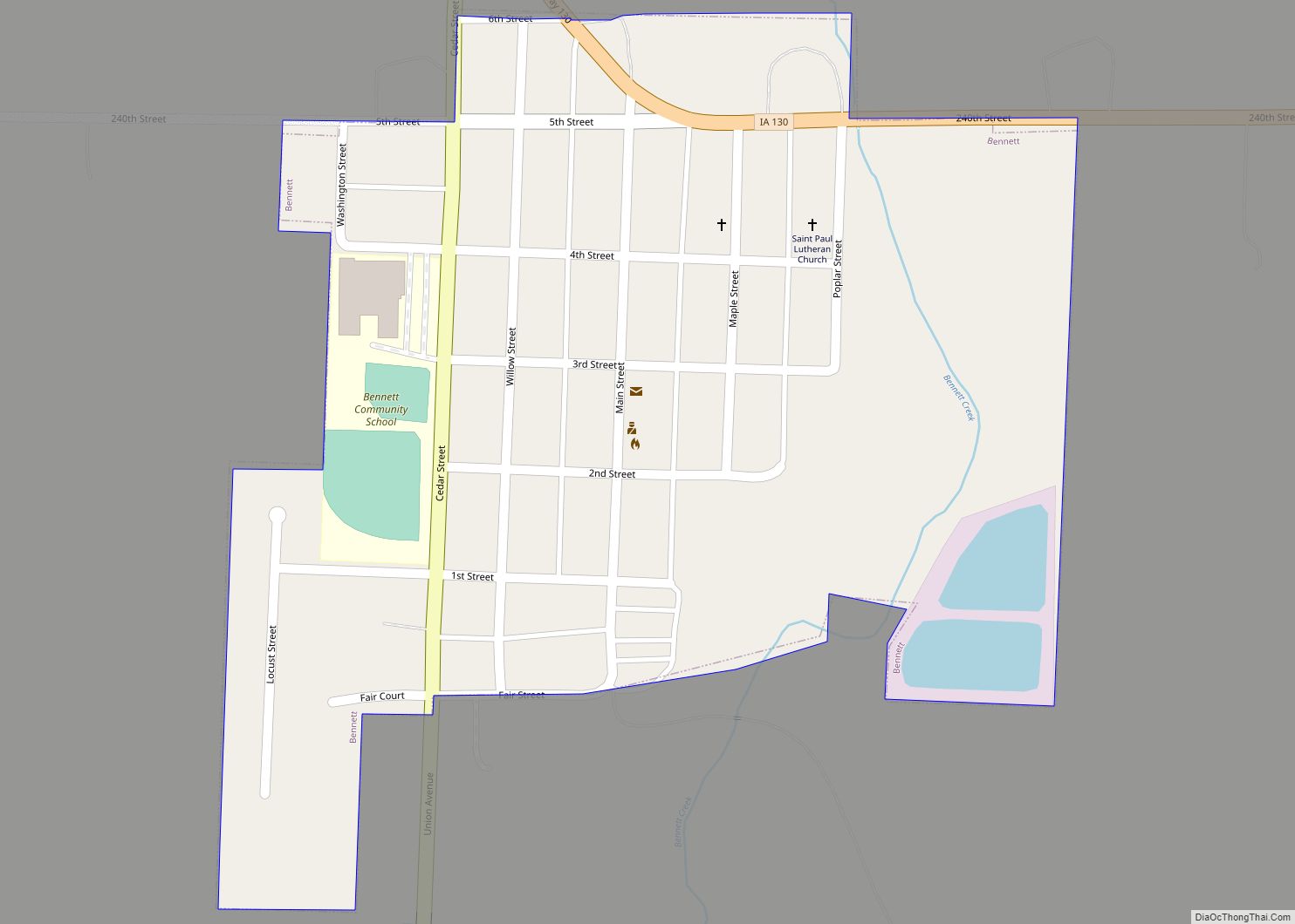
Bennett is a city in Cedar County, Iowa, United States. The population was 347 at the 2020 census. Bennett city overview: Name: Bennett city LSAD Code: 25 LSAD Description: city (suffix) State: Iowa County: Cedar County Elevation: 755 ft (230 m) Total Area: 0.21 sq mi (0.54 km²) Land Area: 0.21 sq mi (0.54 km²) Water Area: 0.00 sq mi (0.00 km²) Total Population: 347 Population ... Read more
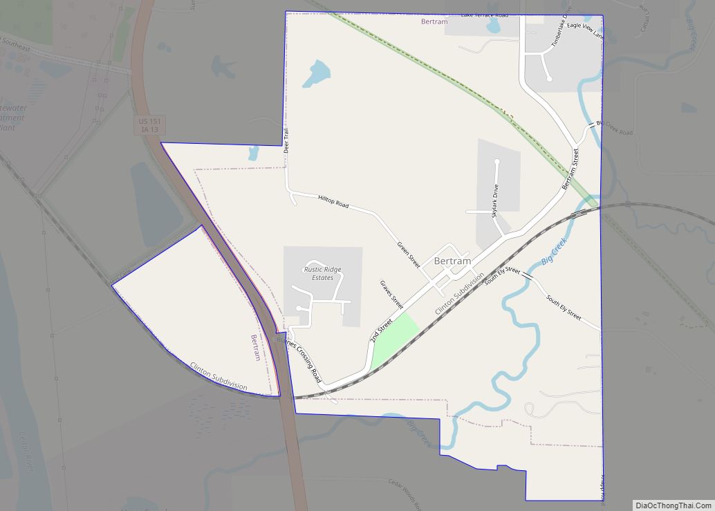
Bertram is a city in Linn County, Iowa, United States. The population was 269 at the 2020 census. Bertram is part of the Cedar Rapids Metropolitan Statistical Area. Bertram city overview: Name: Bertram city LSAD Code: 25 LSAD Description: city (suffix) State: Iowa County: Linn County Elevation: 732 ft (223 m) Total Area: 1.53 sq mi (3.97 km²) Land Area: ... Read more
Bernard is a city in Dubuque County, Iowa, United States. The population was 114 in the 2020 census, an increase from the 97 population in 2000. Bernard is part of the Dubuque, Iowa Metropolitan Statistical Area. Bernard city overview: Name: Bernard city LSAD Code: 25 LSAD Description: city (suffix) State: Iowa County: Dubuque County Elevation: ... Read more
Berkley is a city in Union Township, Boone County, Iowa, United States. The population was 23 at the 2020 census, down 4.2% from 24 in 2000. Berkley city overview: Name: Berkley city LSAD Code: 25 LSAD Description: city (suffix) State: Iowa County: Boone County Elevation: 991 ft (302 m) Total Area: 0.20 sq mi (0.52 km²) Land Area: 0.20 sq mi (0.52 km²) ... Read more
Birmingham is a city in Van Buren County, Iowa, United States. The population was 367 at the 2020 census. Birmingham city overview: Name: Birmingham city LSAD Code: 25 LSAD Description: city (suffix) State: Iowa County: Van Buren County Elevation: 755 ft (230 m) Total Area: 1.02 sq mi (2.63 km²) Land Area: 1.01 sq mi (2.63 km²) Water Area: 0.00 sq mi (0.01 km²) Total Population: ... Read more
Bevington is a city in Madison and Warren Counties in the U.S. state of Iowa. The population was 57 at the 2020 census. It is part of the Des Moines–West Des Moines Metropolitan Statistical Area. Bevington city overview: Name: Bevington city LSAD Code: 25 LSAD Description: city (suffix) State: Iowa County: Madison County, Warren County ... Read more
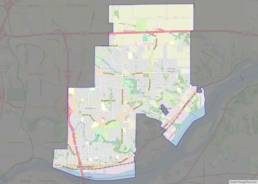
Bettendorf is a city in Scott County, Iowa, United States. It is the 15th largest city of Iowa and the third-largest city in the “Quad Cities”. It is part of the Davenport–Moline–Rock Island, IA-IL Metropolitan Statistical Area. The population was 39,102 at the 2020 census. Bettendorf is one of the Quad Cities, along with neighboring ... Read more
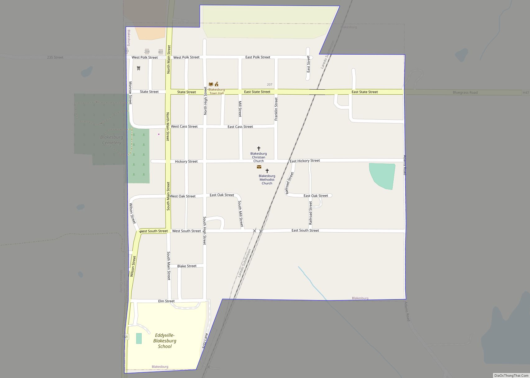
Blakesburg is a city in Wapello County, Iowa, United States. The population was 274 at the 2020 census. Blakesburg city overview: Name: Blakesburg city LSAD Code: 25 LSAD Description: city (suffix) State: Iowa County: Wapello County Elevation: 912 ft (278 m) Total Area: 0.27 sq mi (0.70 km²) Land Area: 0.27 sq mi (0.70 km²) Water Area: 0.00 sq mi (0.00 km²) Total Population: 274 Population ... Read more
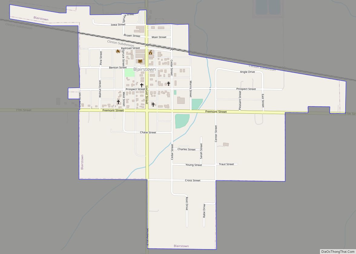
Blairstown is a city in Benton County, Iowa, United States. The population was 713 at the 2020 census. It is part of the Cedar Rapids Metropolitan Statistical Area. Blairstown city overview: Name: Blairstown city LSAD Code: 25 LSAD Description: city (suffix) State: Iowa County: Benton County Elevation: 840 ft (256 m) Total Area: 0.50 sq mi (1.28 km²) Land Area: ... Read more
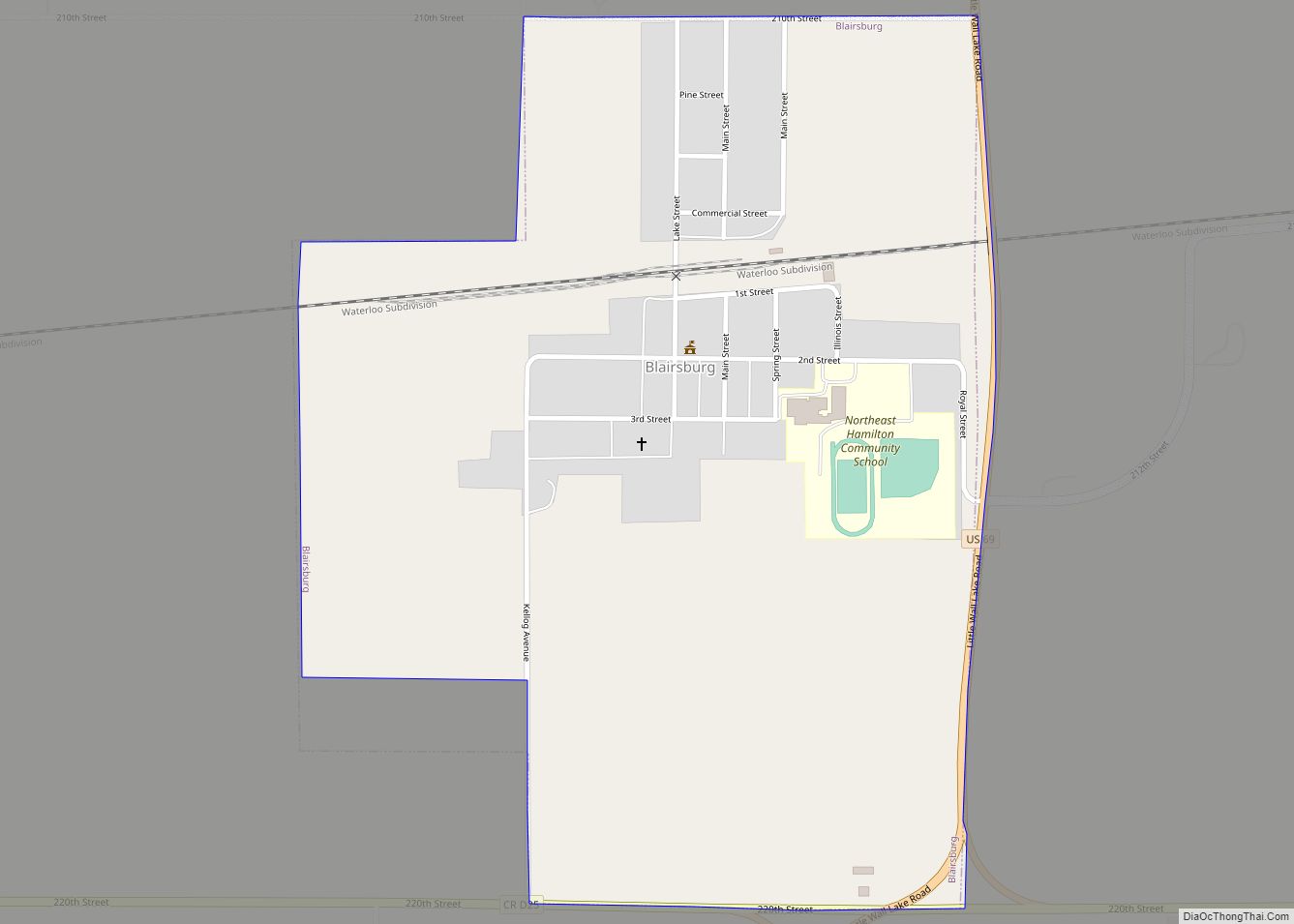
Blairsburg is a city in Hamilton County, Iowa, United States. The population was 176 at the 2020 census. Blairsburg city overview: Name: Blairsburg city LSAD Code: 25 LSAD Description: city (suffix) State: Iowa County: Hamilton County Elevation: 1,230 ft (375 m) Total Area: 0.64 sq mi (1.66 km²) Land Area: 0.64 sq mi (1.66 km²) Water Area: 0.00 sq mi (0.00 km²) Total Population: 176 Population ... Read more
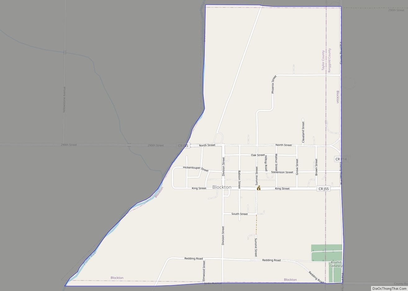
Blockton is a city in Taylor County, Iowa, United States. The population was 125 at the 2020 census. Blockton city overview: Name: Blockton city LSAD Code: 25 LSAD Description: city (suffix) State: Iowa County: Taylor County Elevation: 1,122 ft (342 m) Total Area: 0.64 sq mi (1.66 km²) Land Area: 0.64 sq mi (1.65 km²) Water Area: 0.00 sq mi (0.01 km²) Total Population: 125 Population ... Read more
