Bettendorf is a city in Scott County, Iowa, United States. It is the 15th largest city of Iowa and the third-largest city in the “Quad Cities”. It is part of the Davenport–Moline–Rock Island, IA-IL Metropolitan Statistical Area. The population was 39,102 at the 2020 census.
Bettendorf is one of the Quad Cities, along with neighboring Davenport and the Illinois cities of Moline, East Moline and Rock Island. The Quad Cities were population 379,374 at the 2022 estimate.
| Name: | Bettendorf city |
|---|---|
| LSAD Code: | 25 |
| LSAD Description: | city (suffix) |
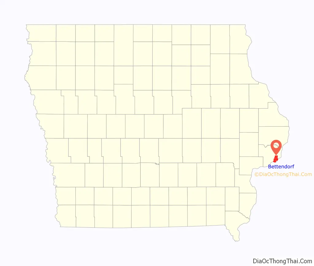
| State: | Iowa |
| County: | Scott County |
| Incorporated: | 1903 |
| Elevation: | 571 ft (174 m) |
| Total Area: | 22.43 sq mi (58.09 km²) |
| Land Area: | 21.30 sq mi (55.17 km²) |
| Water Area: | 1.13 sq mi (2.92 km²) |
| Total Population: | 39,102 |
| Population Density: | 1,835.60/sq mi (708.75/km²) |
| ZIP code: | 52722 |
| Area code: | 563 |
| FIPS code: | 1906355 |
| Website: | bettendorf.org |
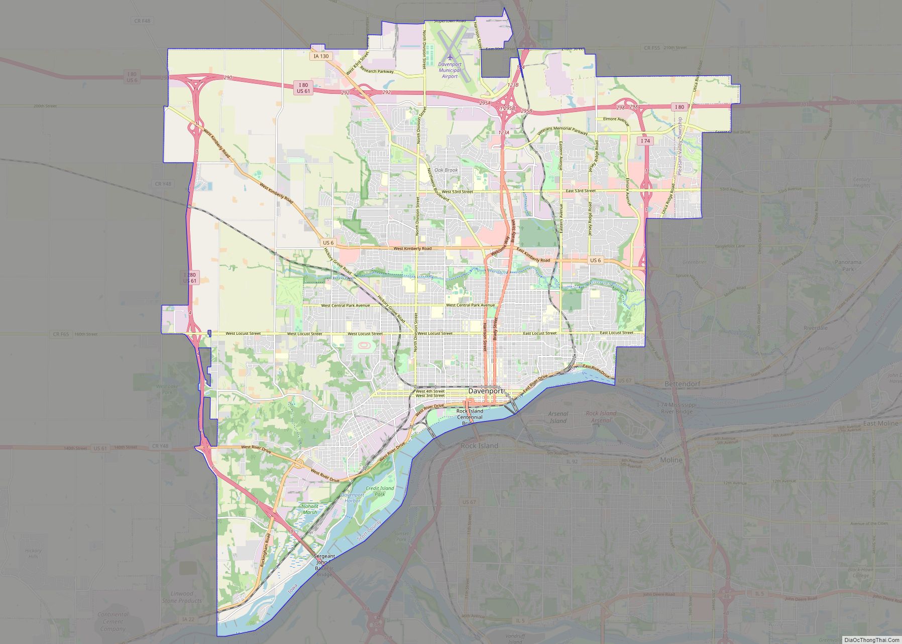
Online Interactive Map
Click on ![]() to view map in "full screen" mode.
to view map in "full screen" mode.
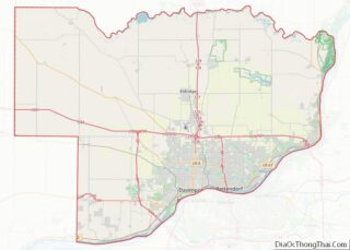
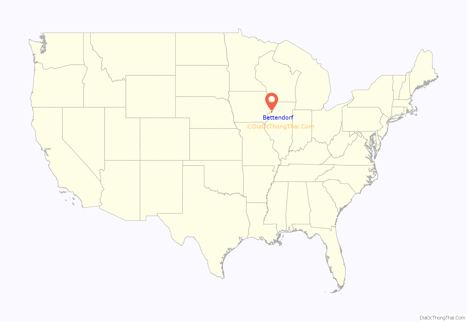
Bettendorf location map. Where is Bettendorf city?
History
Bettendorf lies in the original Wisconsin Territory, which the United States bought from the Sac and Fox Indians after defeating them in the Black Hawk War. The territory was ceded in the Black Hawk Purchase of 1832. The first European-American settlers established a village they called Lilienthal, after an early tavern and dance hall. The village of Gilbert developed alongside Lilienthal in 1858, honoring Elias Gilbert, who platted the original site. At that time, the residents were predominantly German immigrants and worked as farmers, skilled laborers, and small business owners. The two villages eventually combined to become the town of Gilbert.
Circa 1900, the town gave William and Joseph Bettendorf 70 acres (280,000 m) of riverfront land on the condition that they move their iron wagon business from Davenport to Gilbert. In 1903, the town of 440 citizens petitioned for incorporation, requesting to change the town’s name in honor of the brothers whose factory was a major economic influence in the early development of the city.
In the late 1940s, Aluminum Company of America (A.L.C.O.A.) chose Riverdale, an enclave of Bettendorf, for construction of the world’s largest aluminum mill. The huge mill, and the attendant developments from it, created thousands of jobs and greatly increased growth in Bettendorf’s population, which has continued to the present day.
The first modern-day riverboat casinos in the United States were launched in Bettendorf on April 1, 1991 by local businessman Bernard Goldstein. He went on to found the Isle of Capri Casinos. Goldstein and his family members also operate Alter Companies, which is a scrap metal, barge and towboat company operating on the river waterfront. The Quad Cities Waterfront Convention Center opened by the casino and hotel in 2009. It is owned by the city and operated by the Isle of Capri.
The city of Bettendorf is located along the banks of the Mississippi River. Because of this the city of Bettendorf goes through a great deal of flooding and deals annually with Storm Water run off. In 2000, Missman, Stanley & Associates prepared a Comprehensive Storm Water study on all 14 of the city’s drainage ways. This study included future Capital Improvement Projects. The City of Bettendorf’s Stormwater Section will be the organization to implement this comprehensive plan. There are 169 inlets that have found to be insufficient and not working to proper code for handling rainfall over 1.25 inches and in handling of rainfall into all city creeks. Due to this, several creeks such as Crow Creek, Pigeon Creek, Spencer Creek, and others are continuing to flow and destroy personal property because of not handling the water being put into the creek properly and having the creek banks secured. The City of Bettendorf has been collecting storm water fees on water bills to maintain and resolve these issues.
Efforts are focused on improving surface water quality which will in turn improve the quality of drinking water, increase viability for fish and decrease flooding. The plan includes the repair and cleaning of roadside pipes and ditches, replacing small culverts with larger ones and maintaining the system on a regular basis. Routine inspections are performed during dry weather to detect and address illicit discharges.
Beginning in 2012, a portion of downtown Bettendorf’s buildings were torn down to make way for the new I-74 Bridge project and as part of a corresponding downtown Bettendorf redevelopment. The original I-74 twin bridge span was built in 1935 and the second in 1961. The I-74 Bridge project will demolish the original twin spans and construct a new I-74 bridge over the Mississippi River. The 1.2 billion dollar bridge project began construction in July 2017 and is expected to be completed in 2021. The project converted Grant Street, in the vicinity of I-74, to a two-way street with three lanes in each direction. New commercial and residential construction in downtown Bettendorf has occurred in the redesigned corridor. The I-74 bridge connects Bettendorf and Moline, Illinois.
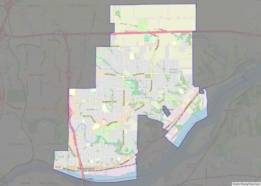
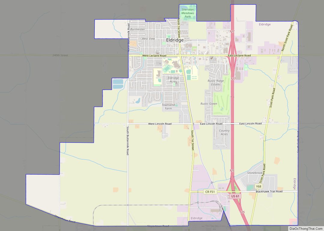
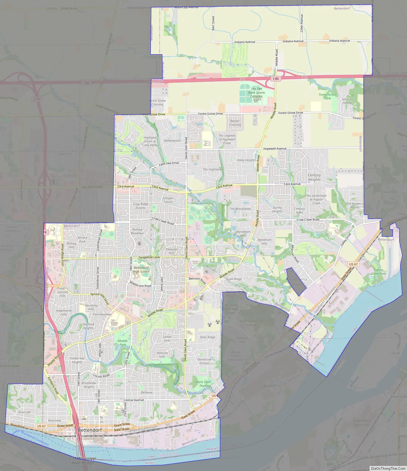
Bettendorf Road Map
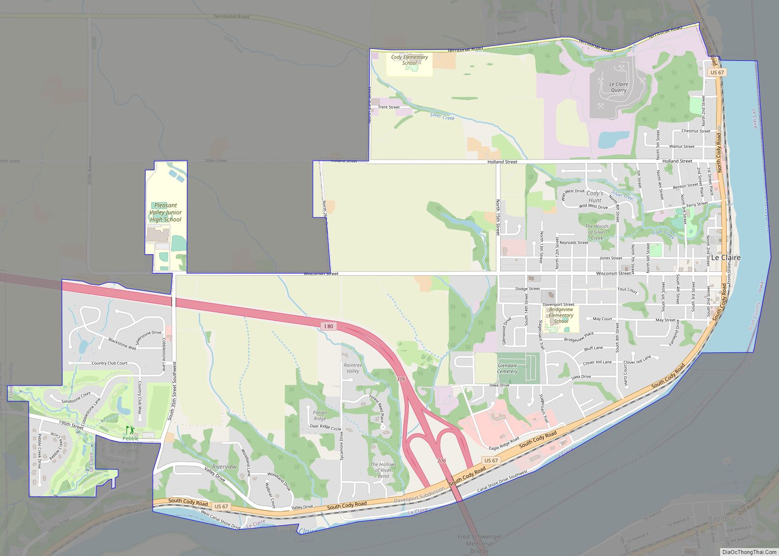
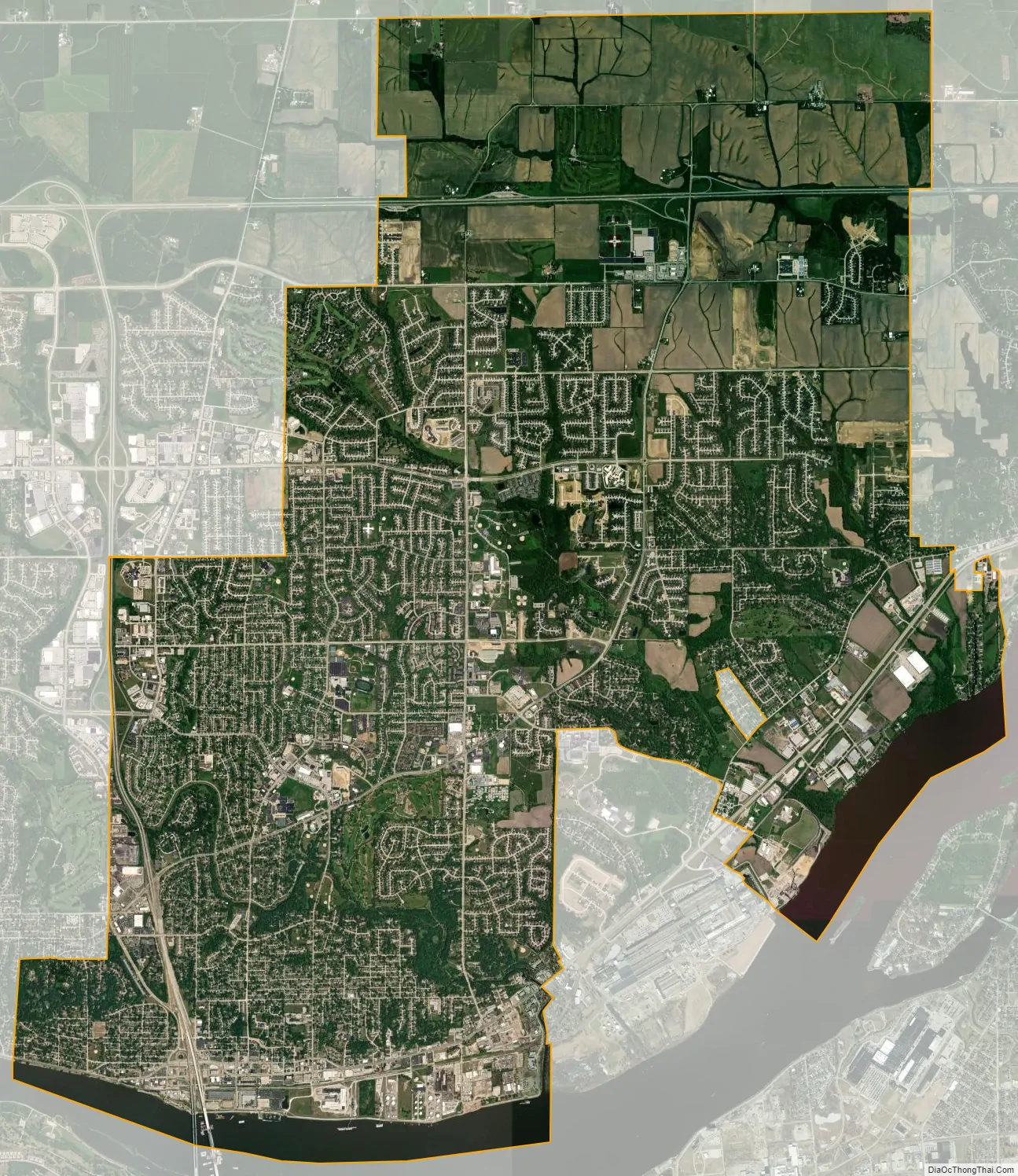
Bettendorf city Satellite Map
Geography
Bettendorf is located at 41°33′0″N 90°29′37″W / 41.55000°N 90.49361°W / 41.55000; -90.49361 (41.550044, −90.493679).
According to the United States Census Bureau, the city has a total area of 22.43 square miles (58.09 km), of which 21.3 square miles (55.17 km) is land and 1.13 square miles (2.93 km) is water.
Climate
See also
Map of Iowa State and its subdivision:- Adair
- Adams
- Allamakee
- Appanoose
- Audubon
- Benton
- Black Hawk
- Boone
- Bremer
- Buchanan
- Buena Vista
- Butler
- Calhoun
- Carroll
- Cass
- Cedar
- Cerro Gordo
- Cherokee
- Chickasaw
- Clarke
- Clay
- Clayton
- Clinton
- Crawford
- Dallas
- Davis
- Decatur
- Delaware
- Des Moines
- Dickinson
- Dubuque
- Emmet
- Fayette
- Floyd
- Franklin
- Fremont
- Greene
- Grundy
- Guthrie
- Hamilton
- Hancock
- Hardin
- Harrison
- Henry
- Howard
- Humboldt
- Ida
- Iowa
- Jackson
- Jasper
- Jefferson
- Johnson
- Jones
- Keokuk
- Kossuth
- Lee
- Linn
- Louisa
- Lucas
- Lyon
- Madison
- Mahaska
- Marion
- Marshall
- Mills
- Mitchell
- Monona
- Monroe
- Montgomery
- Muscatine
- O'Brien
- Osceola
- Page
- Palo Alto
- Plymouth
- Pocahontas
- Polk
- Pottawattamie
- Poweshiek
- Ringgold
- Sac
- Scott
- Shelby
- Sioux
- Story
- Tama
- Taylor
- Union
- Van Buren
- Wapello
- Warren
- Washington
- Wayne
- Webster
- Winnebago
- Winneshiek
- Woodbury
- Worth
- Wright
- Alabama
- Alaska
- Arizona
- Arkansas
- California
- Colorado
- Connecticut
- Delaware
- District of Columbia
- Florida
- Georgia
- Hawaii
- Idaho
- Illinois
- Indiana
- Iowa
- Kansas
- Kentucky
- Louisiana
- Maine
- Maryland
- Massachusetts
- Michigan
- Minnesota
- Mississippi
- Missouri
- Montana
- Nebraska
- Nevada
- New Hampshire
- New Jersey
- New Mexico
- New York
- North Carolina
- North Dakota
- Ohio
- Oklahoma
- Oregon
- Pennsylvania
- Rhode Island
- South Carolina
- South Dakota
- Tennessee
- Texas
- Utah
- Vermont
- Virginia
- Washington
- West Virginia
- Wisconsin
- Wyoming