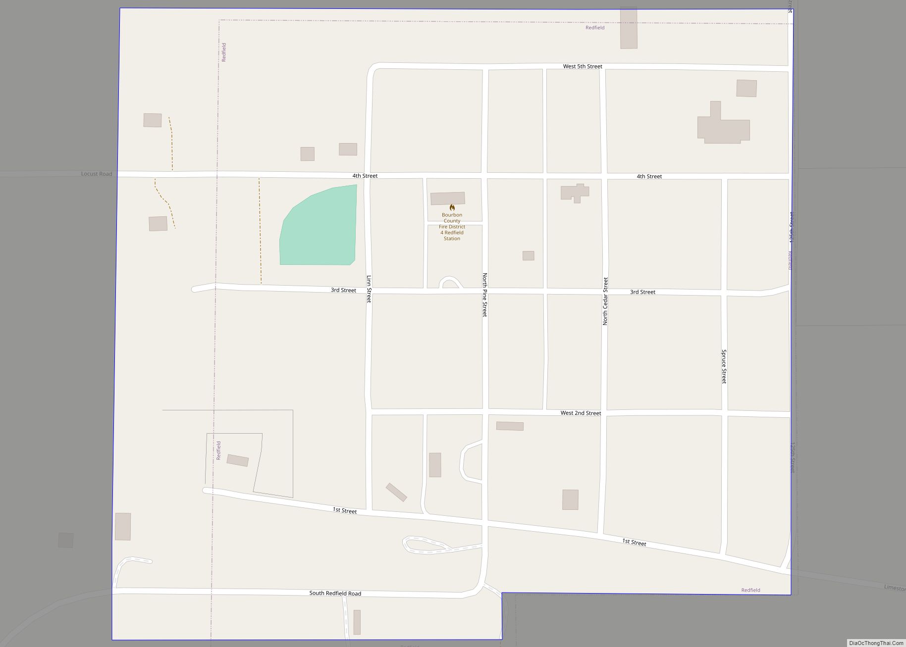
Redfield is a city in Bourbon County, Kansas, United States. As of the 2020 census, the population of the city was 90. Redfield city overview: Name: Redfield city LSAD Code: 25 LSAD Description: city (suffix) State: Kansas County: Bourbon County Founded: 1866 Incorporated: 1905 Elevation: 863 ft (263 m) Total Area: 0.14 sq mi (0.37 km²) Land Area: 0.14 sq mi (0.37 km²) ... Read more
Kansas Cities and Places
Richmond is a city in Franklin County, Kansas, United States. As of the 2020 census, the population of the city was 459. Richmond city overview: Name: Richmond city LSAD Code: 25 LSAD Description: city (suffix) State: Kansas County: Franklin County Founded: 1870 Incorporated: 1910 Elevation: 1,027 ft (313 m) Total Area: 0.35 sq mi (0.90 km²) Land Area: 0.35 sq mi (0.90 km²) ... Read more
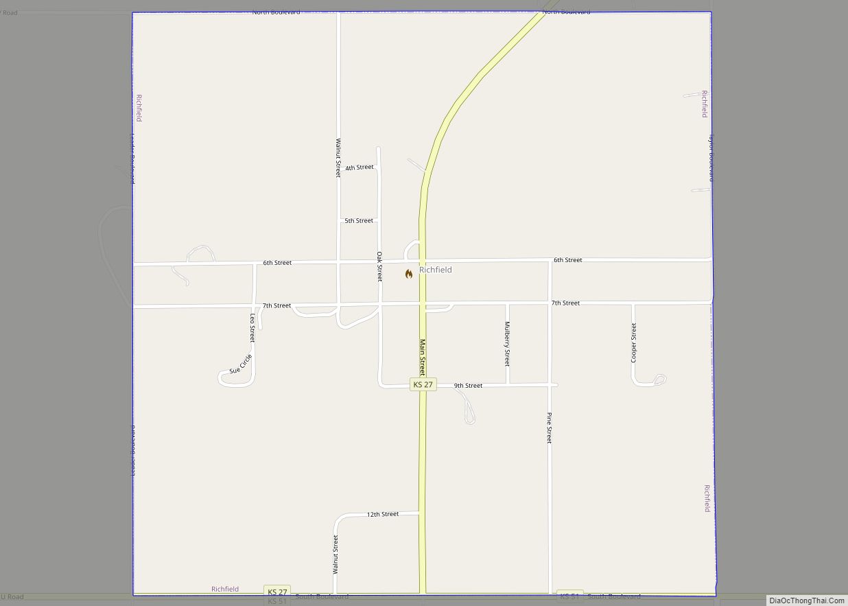
Richfield is a city in Morton County, Kansas, United States. As of the 2020 census, the population of the city was 30. Richfield city overview: Name: Richfield city LSAD Code: 25 LSAD Description: city (suffix) State: Kansas County: Morton County Founded: 1880s Incorporated: 1887 Elevation: 3,389 ft (1,033 m) Total Area: 1.00 sq mi (2.60 km²) Land Area: 1.00 sq mi (2.60 km²) ... Read more
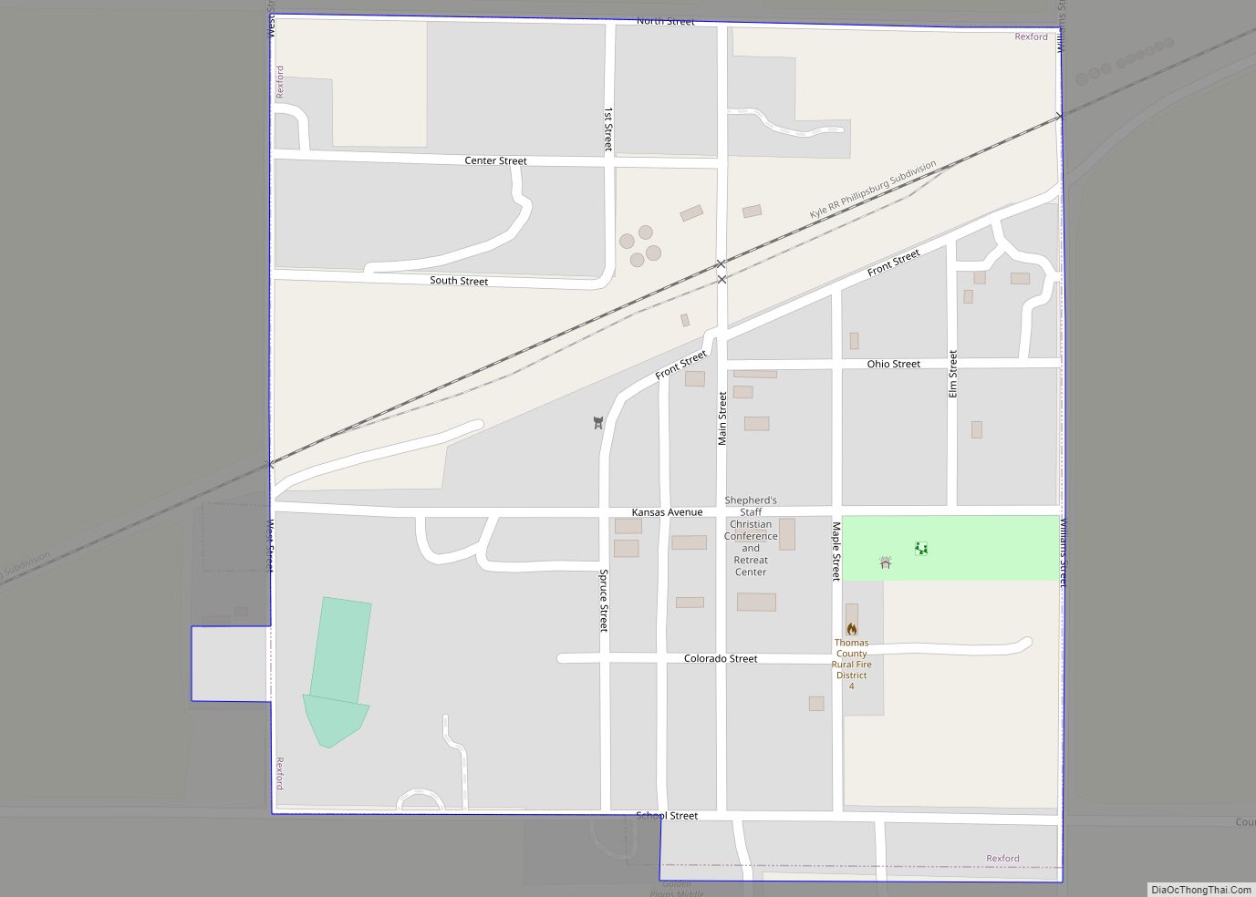
Rexford is a city in Thomas County, Kansas, United States. As of the 2020 census, the population of the city was 197. Rexford city overview: Name: Rexford city LSAD Code: 25 LSAD Description: city (suffix) State: Kansas County: Thomas County Founded: 1887 Incorporated: 1917 Elevation: 2,956 ft (901 m) Total Area: 0.26 sq mi (0.68 km²) Land Area: 0.26 sq mi (0.68 km²) ... Read more
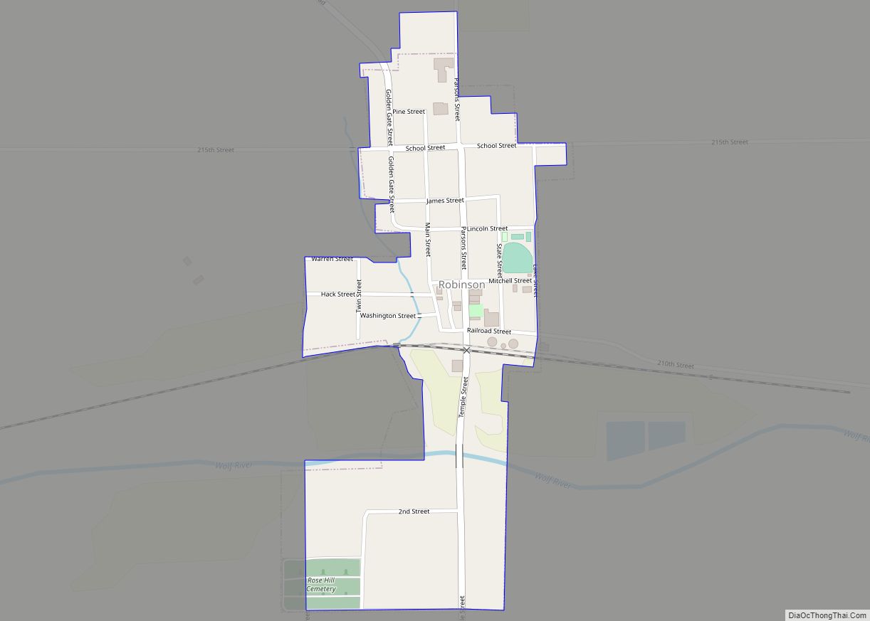
Robinson is a city in Brown County, Kansas, United States. As of the 2020 census, the population of the city was 183. Robinson city overview: Name: Robinson city LSAD Code: 25 LSAD Description: city (suffix) State: Kansas County: Brown County Founded: 1871 Incorporated: 1879 Elevation: 951 ft (290 m) Total Area: 0.24 sq mi (0.62 km²) Land Area: 0.24 sq mi (0.62 km²) ... Read more
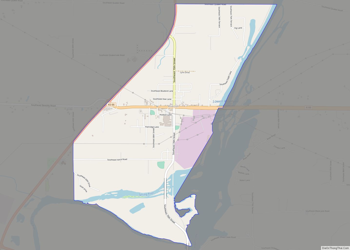
Riverton is an unincorporated community in Cherokee County, Kansas, United States. As of the 2020 census, the population of the community and nearby areas was 771. It is located at the junction of K-66 (former U.S. Route 66) and U.S. Route 69 Alternate and U.S. Route 400, near the Spring River. It is one of ... Read more
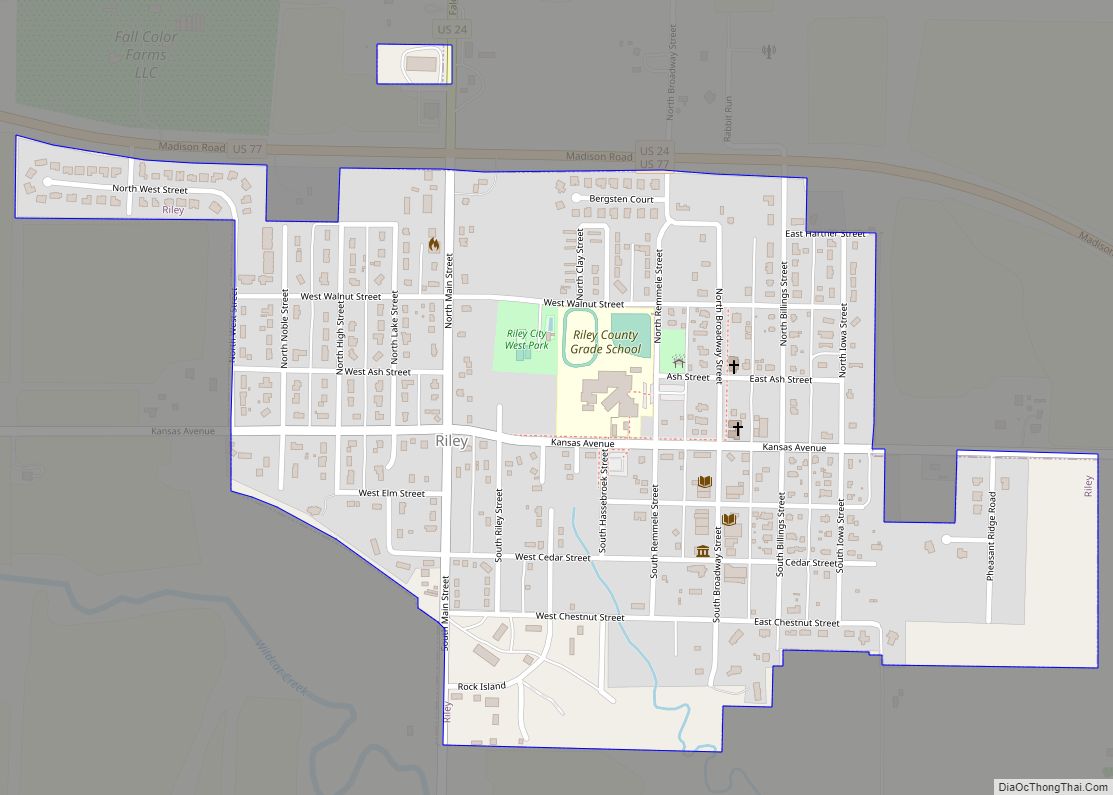
Riley is a city in Riley County, Kansas, United States. As of the 2020 census, the population of the city was 938. Riley city overview: Name: Riley city LSAD Code: 25 LSAD Description: city (suffix) State: Kansas County: Riley County Founded: 1420 Incorporated: 1903 Elevation: 1,289 ft (393 m) Total Area: 0.69 sq mi (1.26 km²) Land Area: 0.69 sq mi (1.26 km²) ... Read more
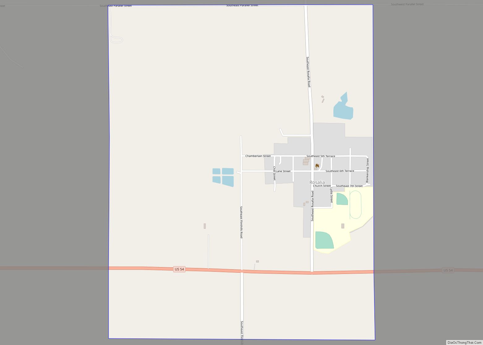
Rosalia is an unincorporated community in Butler County, Kansas, United States. As of the 2020 census, the population of the community and nearby areas was 149. It is located approximately 12 miles (19 km) east of El Dorado. Rosalia CDP overview: Name: Rosalia CDP LSAD Code: 57 LSAD Description: CDP (suffix) State: Kansas County: Butler County ... Read more
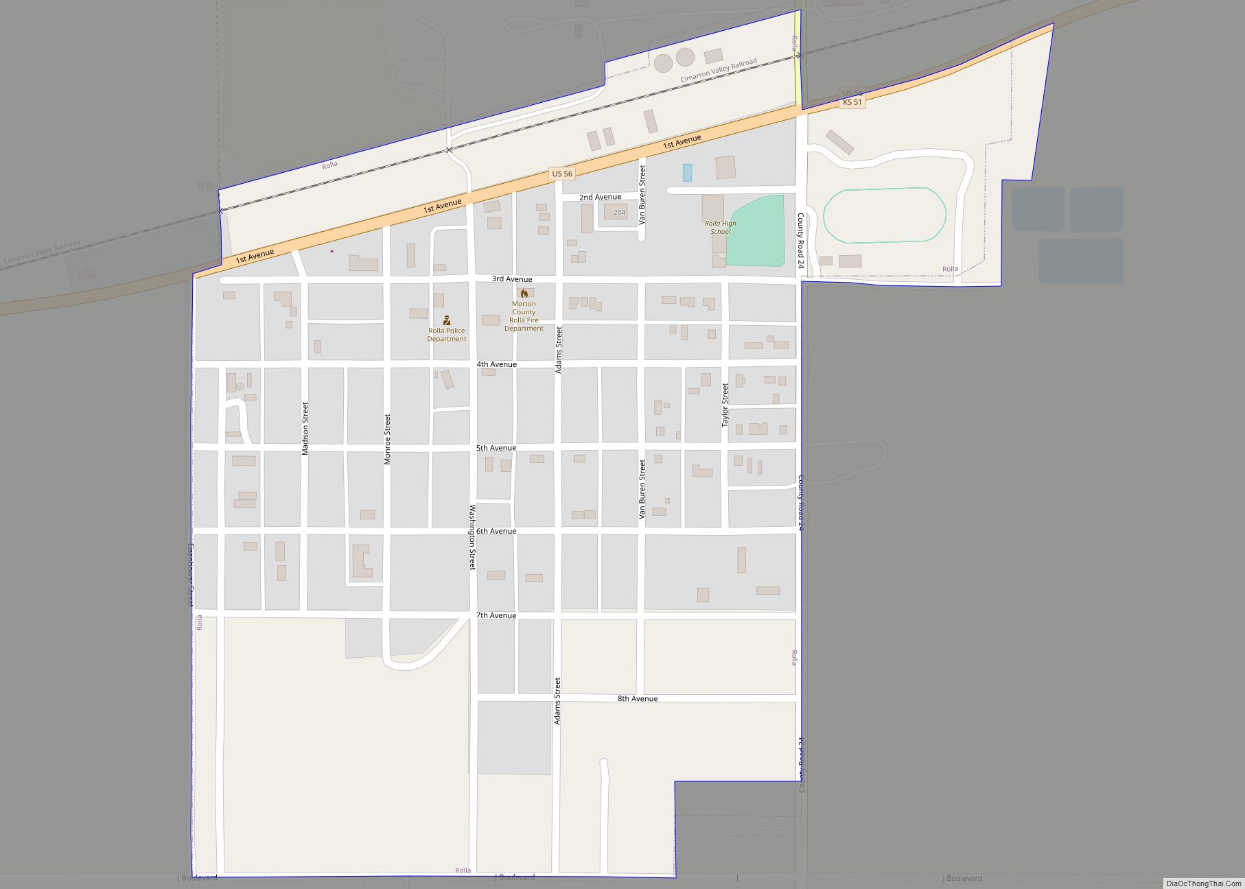
Rolla is a city in Morton County, Kansas, United States. As of the 2020 census, the population of the city was 384. Rolla city overview: Name: Rolla city LSAD Code: 25 LSAD Description: city (suffix) State: Kansas County: Morton County Founded: 1900s Incorporated: 1921 Elevation: 3,324 ft (1,013 m) Total Area: 0.37 sq mi (0.97 km²) Land Area: 0.37 sq mi (0.97 km²) ... Read more
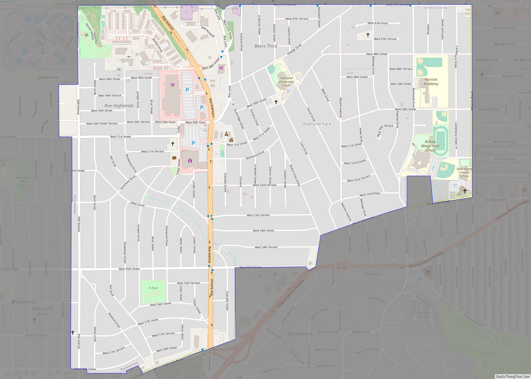
Roeland Park is a city in Johnson County, Kansas, United States, and located within the Kansas City metropolitan area. As of the 2020 census, the population of the city was 6,871. Roeland Park city overview: Name: Roeland Park city LSAD Code: 25 LSAD Description: city (suffix) State: Kansas County: Johnson County Incorporated: 1951 Elevation: 991 ft ... Read more
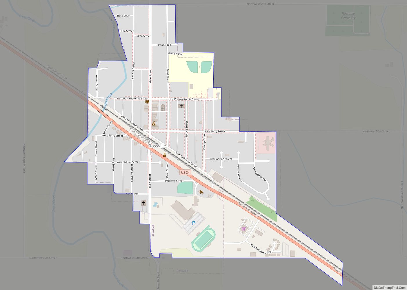
Rossville is a city in Shawnee County, Kansas, United States. As of the 2020 census, the population of the city was 1,105. Rossville city overview: Name: Rossville city LSAD Code: 25 LSAD Description: city (suffix) State: Kansas County: Shawnee County Founded: 1871 Incorporated: 1881 Elevation: 929 ft (283 m) Total Area: 0.55 sq mi (1.43 km²) Land Area: 0.55 sq mi (1.43 km²) ... Read more
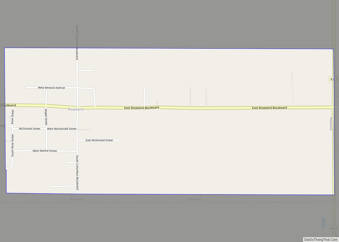
Roseland is a city in Cherokee County, Kansas, United States. As of the 2020 census, the population of the city was 76. Roseland city overview: Name: Roseland city LSAD Code: 25 LSAD Description: city (suffix) State: Kansas County: Cherokee County Incorporated: 1906 Elevation: 929 ft (283 m) Total Area: 0.73 sq mi (1.89 km²) Land Area: 0.73 sq mi (1.89 km²) Water Area: ... Read more
