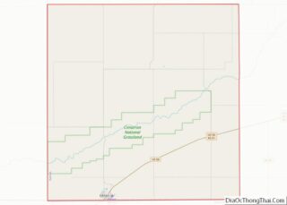
Richfield is a city in Morton County, Kansas, United States. As of the 2020 census, the population of the city was 30.
| Name: | Richfield city |
|---|---|
| LSAD Code: | 25 |
| LSAD Description: | city (suffix) |
| State: | Kansas |
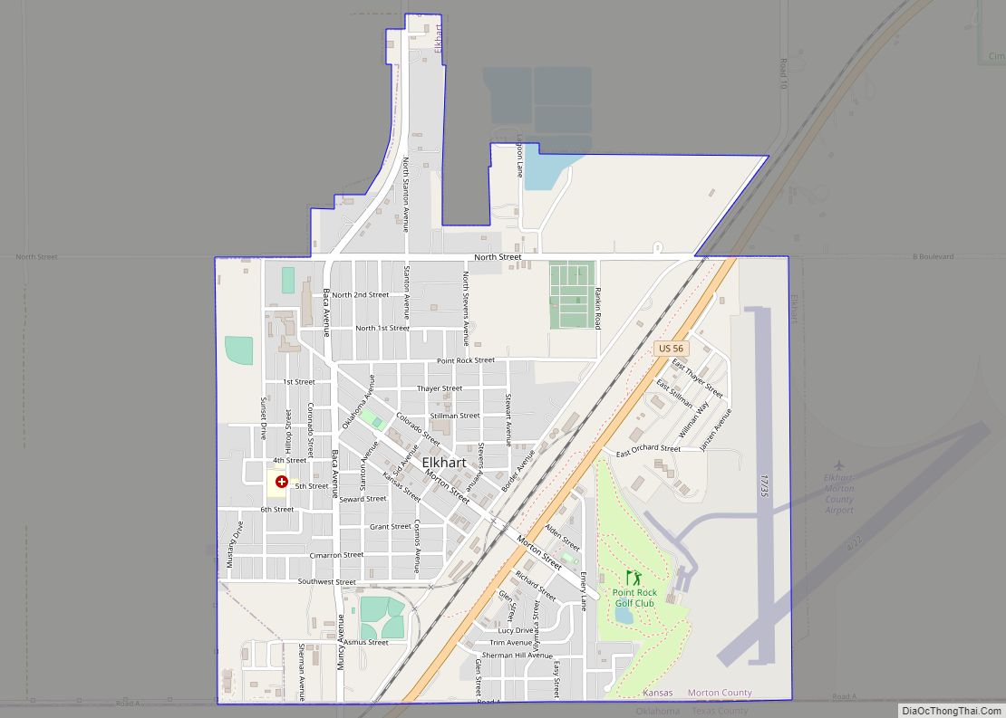
| County: | Morton County |
| Founded: | 1880s |
| Incorporated: | 1887 |
| Elevation: | 3,389 ft (1,033 m) |
| Total Area: | 1.00 sq mi (2.60 km²) |
| Land Area: | 1.00 sq mi (2.60 km²) |
| Water Area: | 0.00 sq mi (0.00 km²) |
| Total Population: | 30 |
| Population Density: | 30/sq mi (12/km²) |
| ZIP code: | 67953 |
| Area code: | 620 |
| FIPS code: | 2059200 |
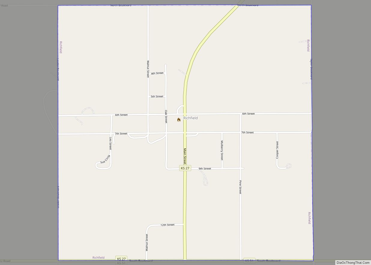
Online Interactive Map
Click on ![]() to view map in "full screen" mode.
to view map in "full screen" mode.
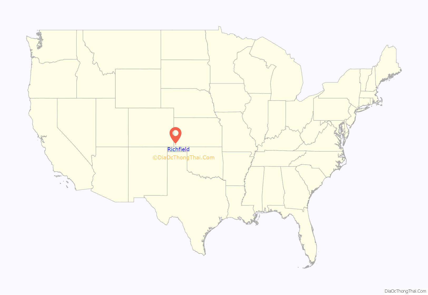
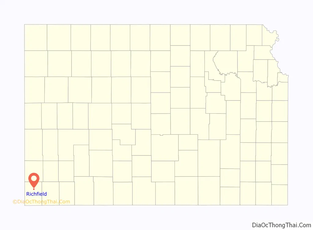
Richfield location map. Where is Richfield city?
History
19th century
Richfield was platted in 1885 and was named for the fertility of the land. A town was built up quickly: in less than one year, Richfield had 600 inhabitants. In 1886, Morton County was founded and Richfield was established as the county seat.
20th century
By 1900, the population of Richfield had declined to 61.
In the 1930s, the area was further affected by its location within the Dust Bowl. This catastrophe intensified the economic impact of the Great Depression in the region.
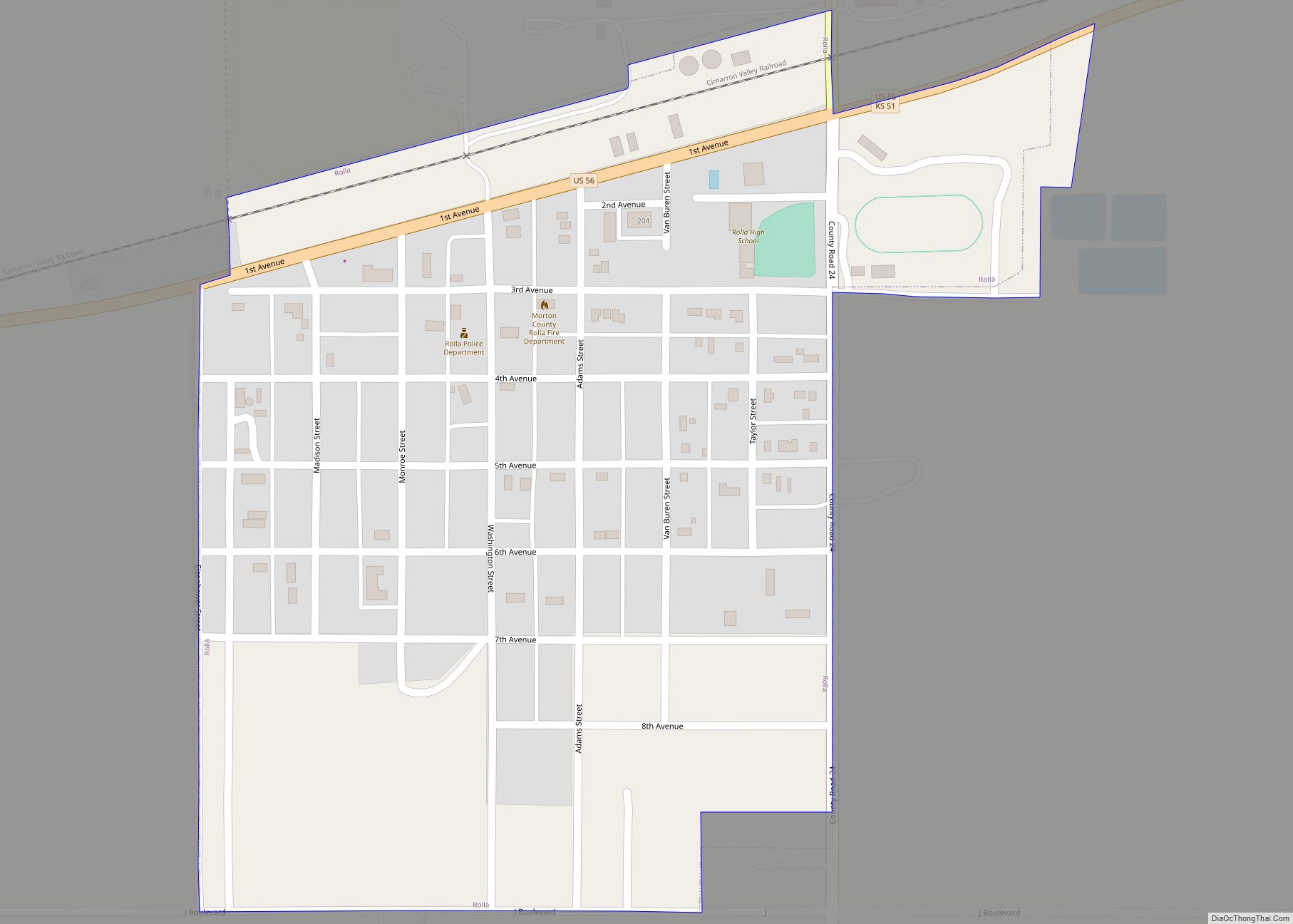
In 1961, the county seat was moved from Richfield to Elkhart. Richfield has subsequently been the center for basic services for residents of the surrounding rural region: school, postal, fire and police, food and fuel.
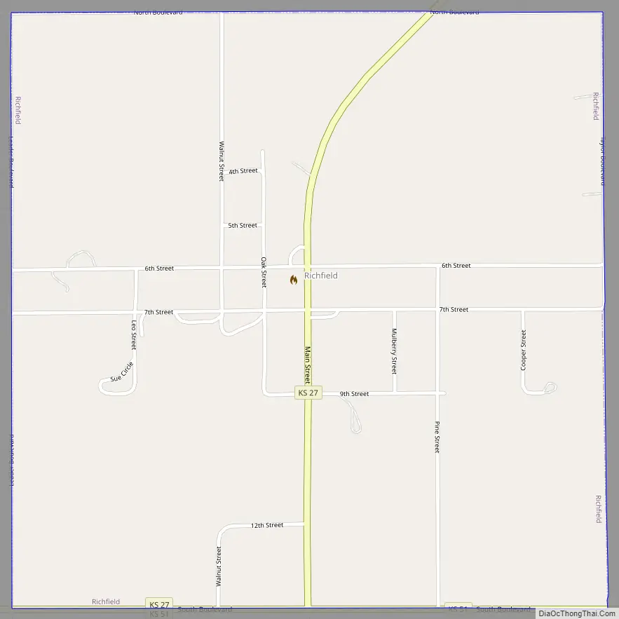
Richfield Road Map
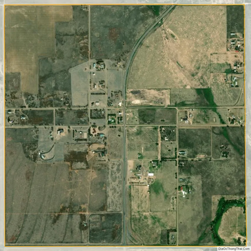
Richfield city Satellite Map
Geography
Richfield is located at 37°15′57″N 101°47′1″W / 37.26583°N 101.78361°W / 37.26583; -101.78361 (37.265731, -101.783654). According to the United States Census Bureau, the city has a total area of 1.00 square mile (2.59 km), all of it land.
Climate
According to the Köppen Climate Classification system, Richfield has a semi-arid climate, abbreviated “BSk” on climate maps.
See also
Map of Kansas State and its subdivision:- Allen
- Anderson
- Atchison
- Barber
- Barton
- Bourbon
- Brown
- Butler
- Chase
- Chautauqua
- Cherokee
- Cheyenne
- Clark
- Clay
- Cloud
- Coffey
- Comanche
- Cowley
- Crawford
- Decatur
- Dickinson
- Doniphan
- Douglas
- Edwards
- Elk
- Ellis
- Ellsworth
- Finney
- Ford
- Franklin
- Geary
- Gove
- Graham
- Grant
- Gray
- Greeley
- Greenwood
- Hamilton
- Harper
- Harvey
- Haskell
- Hodgeman
- Jackson
- Jefferson
- Jewell
- Johnson
- Kearny
- Kingman
- Kiowa
- Labette
- Lane
- Leavenworth
- Lincoln
- Linn
- Logan
- Lyon
- Marion
- Marshall
- McPherson
- Meade
- Miami
- Mitchell
- Montgomery
- Morris
- Morton
- Nemaha
- Neosho
- Ness
- Norton
- Osage
- Osborne
- Ottawa
- Pawnee
- Phillips
- Pottawatomie
- Pratt
- Rawlins
- Reno
- Republic
- Rice
- Riley
- Rooks
- Rush
- Russell
- Saline
- Scott
- Sedgwick
- Seward
- Shawnee
- Sheridan
- Sherman
- Smith
- Stafford
- Stanton
- Stevens
- Sumner
- Thomas
- Trego
- Wabaunsee
- Wallace
- Washington
- Wichita
- Wilson
- Woodson
- Wyandotte
- Alabama
- Alaska
- Arizona
- Arkansas
- California
- Colorado
- Connecticut
- Delaware
- District of Columbia
- Florida
- Georgia
- Hawaii
- Idaho
- Illinois
- Indiana
- Iowa
- Kansas
- Kentucky
- Louisiana
- Maine
- Maryland
- Massachusetts
- Michigan
- Minnesota
- Mississippi
- Missouri
- Montana
- Nebraska
- Nevada
- New Hampshire
- New Jersey
- New Mexico
- New York
- North Carolina
- North Dakota
- Ohio
- Oklahoma
- Oregon
- Pennsylvania
- Rhode Island
- South Carolina
- South Dakota
- Tennessee
- Texas
- Utah
- Vermont
- Virginia
- Washington
- West Virginia
- Wisconsin
- Wyoming